
The Geography Shaping Masterton’s Horizon
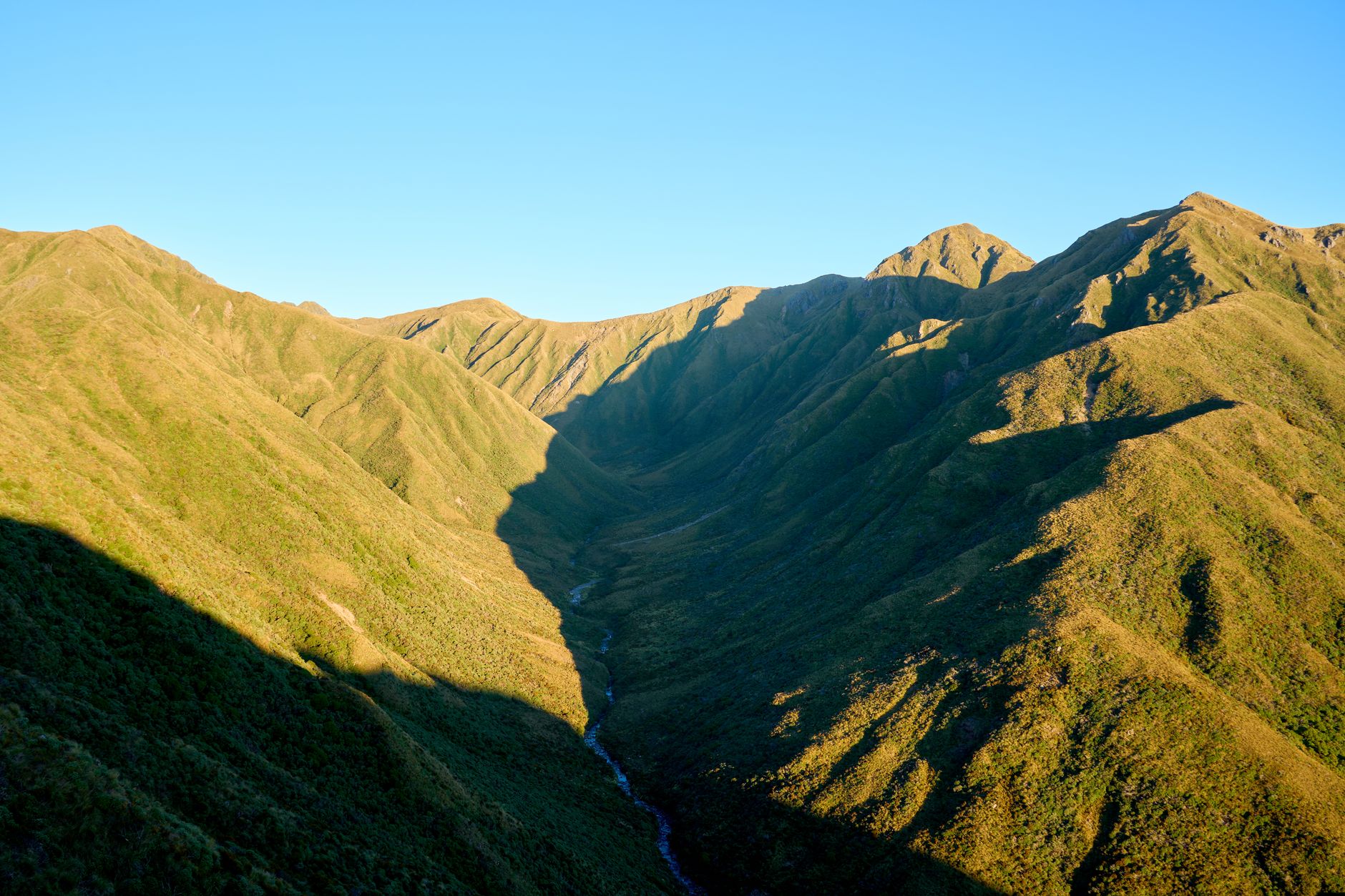
Located in the heart of the Wellington region, the town of Masterton extends as a fundamental starting point to venture into the vast landscapes of the eastern South Island of New Zealand. With a population of around twenty-eight thousand nine hundred residents, this enclave combines the tranquility of an inland valley with the imposing proximity of mountain formations and rolling hills that define the identity of Wairarapa. The average altitude, hovering around one hundred and three meters above sea level, places walkers on a fertile plain from where trails gradually ascend toward the foothills of the Tararua Range.
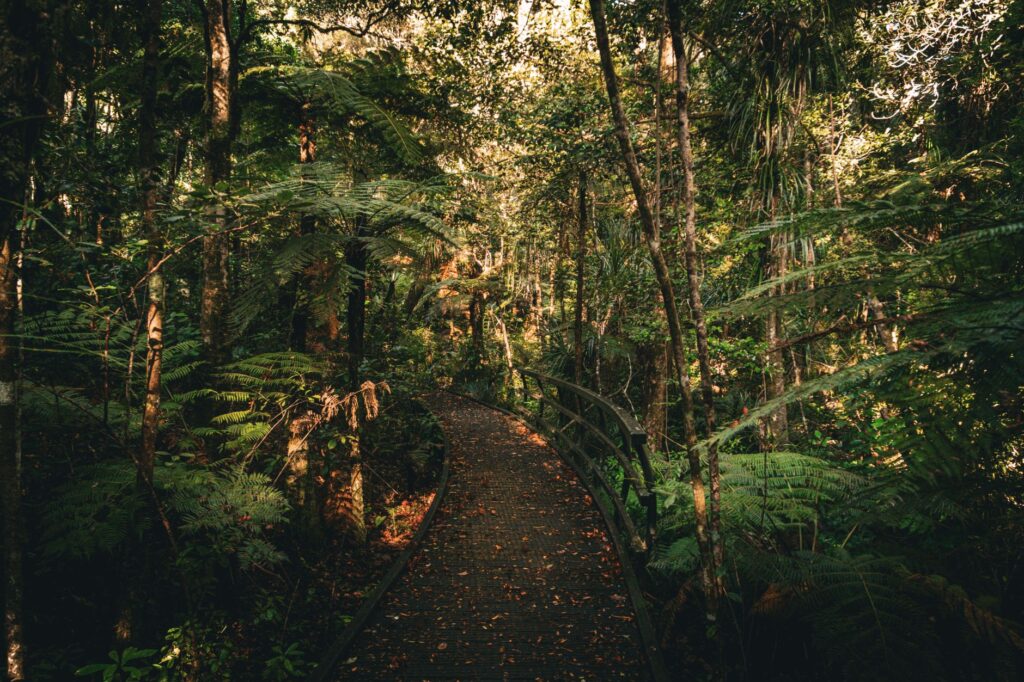
The natural environment surrounding the municipality is not merely an aesthetic backdrop, but a complex ecosystem molded by wind action, moisture from the Tasman Sea, and the seasonal shifts characteristic of the southern latitude. As one moves away from the urban core and enters the margins of the Ruamahanga River or the access points toward nearby forest parks, the terrain demands a deep understanding of local geography. Dirt tracks, stream crossings, and the transition from agricultural pastures to native beech and fern forests require any hiking expedition to be planned with methodological rigor and respect for conservation regulations established by the Department of Conservation of New Zealand.
Southern Climatology and Meteorological Variability
Understanding Masterton’s climate is essential for any hiking enthusiast aiming to navigate its routes safely. Situated in a transition zone between the coast and mountain peaks, weather conditions can shift with remarkable speed. Westerly and southerly winds often channel through the Wairarapa Valley, generating intense gusts that surprise unprepared hikers in open areas or elevated ridges. Temperatures vary significantly between the chilly mornings of the southern winter and the warm, dry days of summer, although even in summer months, sudden temperature drops accompanied by precipitation are common.
Local weather forecasts and warnings issued by official services must be consulted obligatorily before embarking on any medium or long-distance hike. Rain, though vital for maintaining the lushness of endemic vegetation, turns clay and dirt trails into slippery surfaces where the risk of falls increases exponentially. Likewise, ultraviolet radiation in this region of the planet is particularly intense due to atmospheric clarity, making proper sun protection an essential part of mandatory technical equipment, alongside waterproof clothing and boots with high-traction soles.
Physical Preparation and Terrain Demands
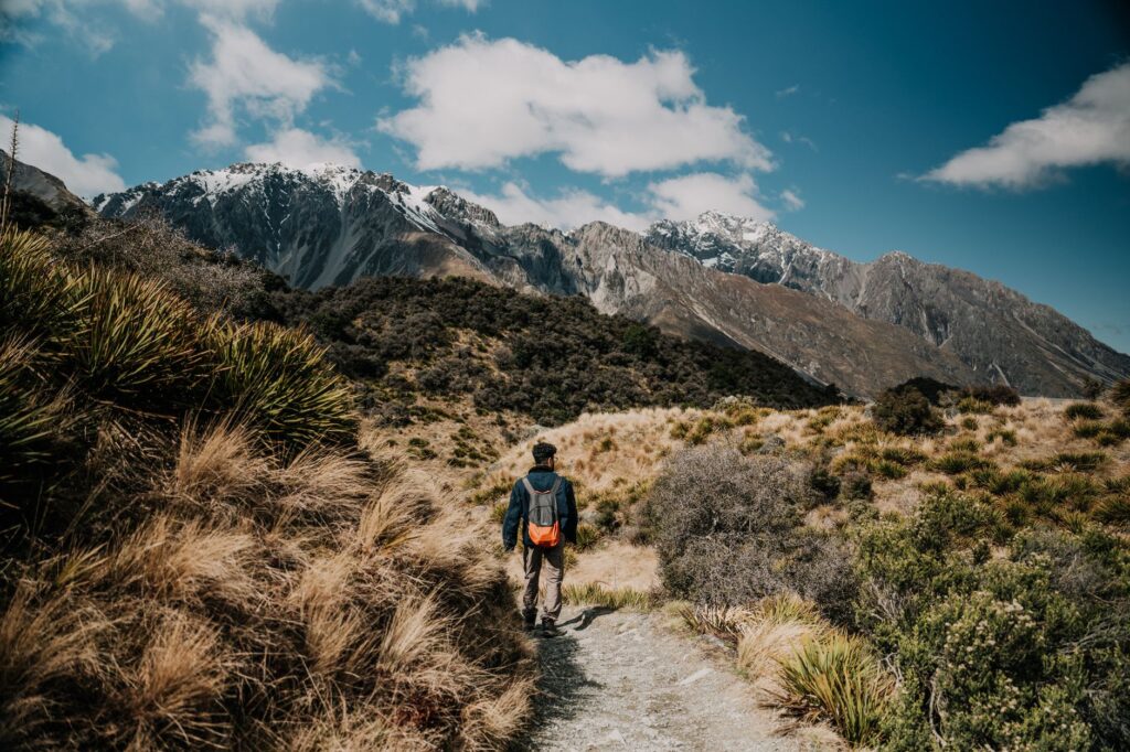
Tackling the trails of Masterton and its surroundings requires physical fitness appropriate to the irregular nature of the terrain. Unlike urban routes or paved paths, mountain trails and forest circuits present accumulated elevation gains that test cardiovascular endurance and joint stability. Hikers must realistically assess their aerobic capacity and prior experience in rugged terrain before committing to multi-hour itineraries or full-day marches. The use of trekking poles becomes a highly valuable technical resource to reduce knee impact during prolonged descents and to maintain balance when crossing small unbridged streams.
Physical preparation planning also includes the proper management of the weight carried in the backpack. Oversized gear exhausts the walker more quickly, while insufficient load can leave them exposed to unforeseen changes in weather conditions. The general rule on New Zealand trails prioritizes responsible self-sufficiency: carrying enough drinking water, energy-rich food, a first-aid kit, and up-to-date communication or navigation systems. Technical preparation does not aim to eliminate risk entirely, but to equip the adventurer with the necessary tools to handle any unexpected event without compromising their safety or that of the environment.
The mountain does not reward reckless boldness, but rather the prudence of those who know how to listen to the landscape’s signals before taking the next step.
Permits, Access, and Safety on Regulated Routes
Access to the natural spaces surrounding Masterton is governed by strict regulations designed to protect biodiversity and ensure public safety. Many hiking routes cross both public land managed by government agencies and private property where passage is subject to specific conditions and temporary closures during livestock breeding seasons or extreme forest fire danger. It is fundamental to check access status, potential transit restrictions, and the need to register hiking plans on specialized platforms or by notifying family and friends in advance.
Safety in New Zealand’s natural environment rests on the principle of active prevention. Trails are mostly marked with orange stakes known as orange triangles, but dense fog or fallen branches can obscure these visual references within minutes. Therefore, carrying printed topographic maps and offline satellite navigation devices is indispensable. In case of emergency, rescue team response times may be delayed due to complex terrain, reinforcing the need to carry thermal blankets, emergency whistles, and a food reserve that allows waiting for assistance under safe conditions.
Natural and Cultural Heritage of the Maori Territory
The landscape traversed by hikers in Masterton holds a deep connection with the history and culture of the Maori people, who call this territory Whakaoriori, a traditional name reflecting the richness of its valleys and the importance of its river systems. Walking through these landscapes means moving across lands charged with ancestral meaning, where every hill, forest, and watercourse possesses a toponymy and oral narratives linking indigenous communities to the natural environment. Respect for this intangible heritage is manifested through low-impact practices and consideration for sites of cultural and spiritual value.
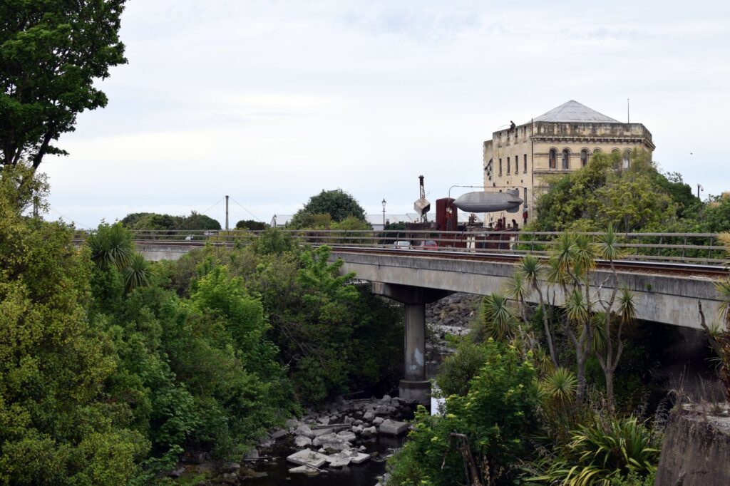
Local initiatives promote adventure tourism that values both ecological conservation and historical memory. Trails are not merely sports transit routes, but ecological corridors hosting endemic flora and fauna species, many threatened by the historical introduction of predatory species. Understanding the fragility of these ecosystems fosters a conscious attitude among visitors, who assume the commitment to leave no trace of their passage, avoiding waste accumulation, damage to native vegetation, and disruption of native bird habitats finding refuge in the district’s forested areas.
Leave-No-Trace Principles on the Trail
The concept of sustainability in hiking finds one of its clearest exponents in New Zealand through the code of conduct popularly known as Leave No Trace. In the context of Masterton and its mountain routes, this principle translates into everyday, rigorous actions. All waste generated during the march, no matter how biodegradable it seems, must be carried back to the urban core. Fruit peels, wrappers, and organic remnants alter local fauna diets and favor the proliferation of pests that destabilize the forest ecosystem.
Likewise, using clean footwear before starting routes is a critical sanitary measure to prevent the spread of plant diseases, such as root rot affecting native trees. Footwear disinfection stations located at park access points must be used rigorously. Similarly, lighting fires outside designated areas is prohibited, prioritizing portable camping stoves when regulations permit. Protecting water sources requires avoiding the use of soaps or detergents directly in rivers or streams, even if they are biodegradable products, thereby preserving the purity of water sustaining life throughout the valley.
Practical guide
How to get there: Masterton is accessible primarily by road via State Highway 2, connecting the Wairarapa region with Wellington and other South Island locations. It also features regular train services operated by the Metlink network connecting Masterton station with the capital in a journey of approximately one and a half hours.
Best time to visit: Summer months (December to February) offer the most stable conditions and warm temperatures, ideal for hiking. However, spring (September to November) and autumn (March to May) offer landscapes of great beauty with lower visitor numbers, though demanding greater caution regarding weather variability.
Recommended gear: Hiking footwear with high-traction soles and prior break-in, layered technical clothing including a waterproof and windproof membrane, a daypack between twenty and thirty liters, trekking poles, broad-spectrum sunscreen, sunglasses, a personal medical kit, and sufficient water.
Safety rules: Always consult MetService weather forecasts and track conditions at local information offices or via the Department of Conservation website before starting any mountain route.
The Silent Echo of Southern Forests
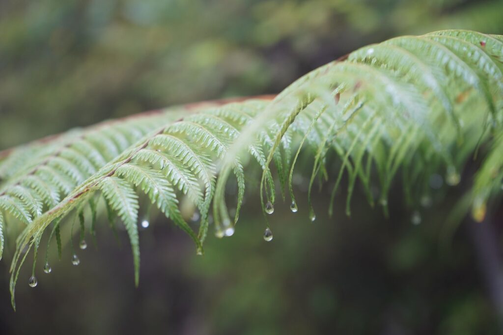
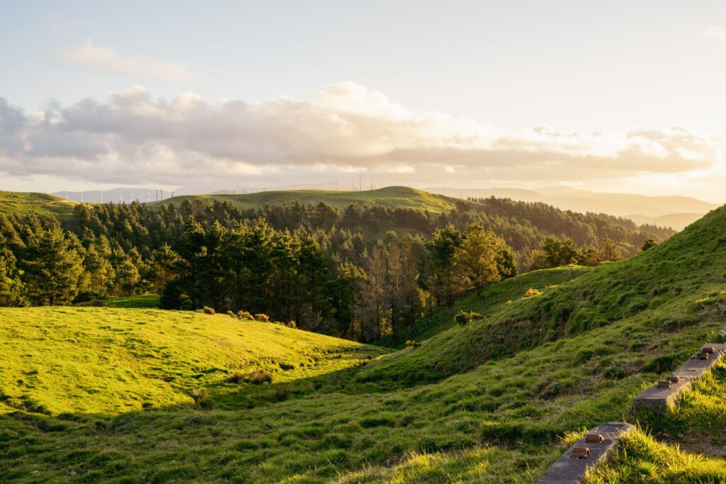
At the end of the day, when the twilight light begins to tinge the peaks of the Tararua Range with golden and purple hues, Masterton’s landscape regains its primordial calm. Hikers returning from the trails understand that the true essence of adventure lies not in conquering inaccessible summits, but in respectful harmony with a natural environment requiring attention, humility, and preparation. The whisper of the wind through the ferns and the steady flow of the Ruamahanga River merge into a visual and emotional closing that lingers in the memory of those who choose to walk consciously along the southern paths.