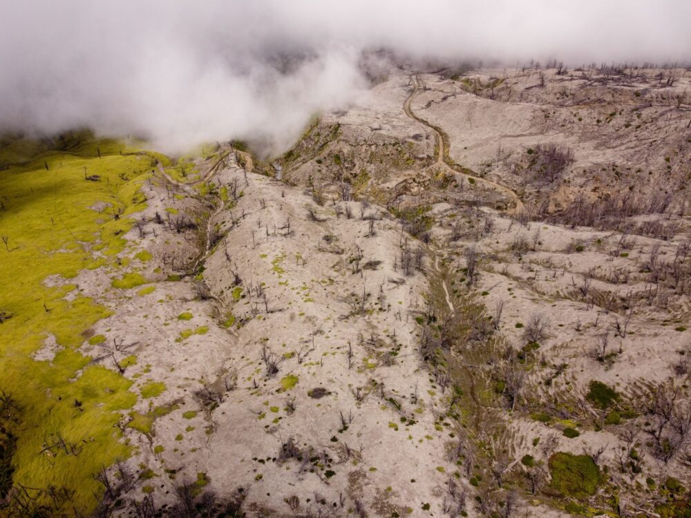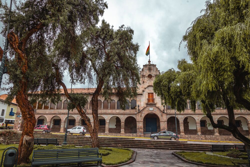
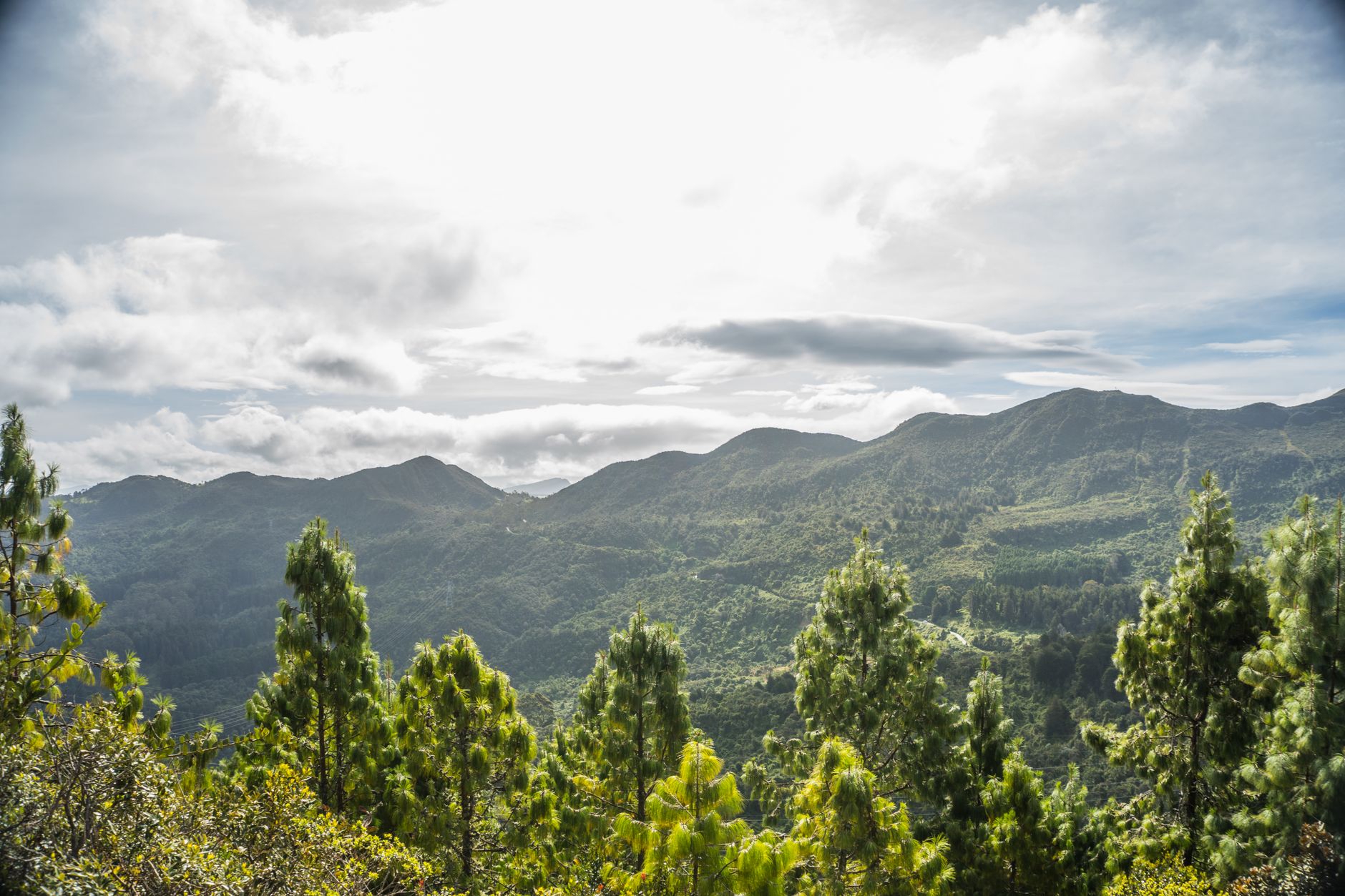

At more than two thousand five hundred meters above sea level, the valley of Bogotá carves its way through Andean summits where the air acquires a mineral and cold density. In the capital of Colombia, the relationship between urban growth and natural boundaries is defined along the eastern slopes, a green backdrop that not only provides visual identity to its more than seven and a half million residents, but also acts as an indispensable biological sponge. Here, territorial management requires a delicate balance between demographic pressure and the preservation of ecological corridors that supply water to the savannah, ensuring that the fragile equilibrium of the high plateau is maintained against the relentless advance of urbanization and industrial activities.
Conservation dynamics in this high mountain environment depend as much on institutional guidelines as on the steady work of park rangers, university researchers, and local neighborhood boards. Unlike other Latin American metropolises that have paved over their original water sources, this Andean region maintains an active drive to safeguard streams, interior wetlands, and patches of high-Andean forest that resist amidst the asphalt. This collective resistance highlights a deep-rooted consciousness regarding the finite nature of natural resources in high-altitude settlements, where every square meter of preserved vegetation serves as a vital buffer against environmental degradation.
The Green Pulse of the Eastern Hills and Their Living Wall
The eastern hills of the city represent much more than a recognizable geographic landmark from any point in the urban grid. They function as an ecological barrier and a refuge for biodiversity where flora and fauna species adapted to intense radiation and mist-covered mornings converge. In these elevations, continuous monitoring of native vegetation makes it possible to detect early any alteration in the soil caused by erosion, illegal resource extraction, or informal settlements in high-risk areas.
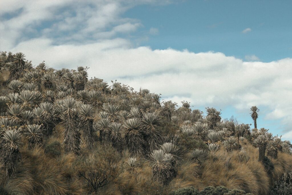
Local scientific institutions, in collaboration with community collectives, have intensified reforestation programs using native species such as the alder, the Andean blueberry, and the gaque. These trees fulfill a critical function by retaining atmospheric moisture and regulating rainfall runoff into the streams descending toward the savannah. Citizen participation in these restoration efforts has transformed the perception of the environment, turning residents into active guardians of their own natural heritage through hands-on workshops, seed collection drives, and collaborative planting events.
Citizen Science and Monitoring Local Biodiversity
The understanding of urban and peri-urban ecosystems in the Colombian capital has undergone a methodological shift in recent years, driven by participatory science. Students, teachers, and neighbors living near forest reserves take part in periodic censuses of birds, pollinators, and medium-sized mammals. These systematic records provide environmental authorities with up-to-date databases on the health status of wildlife and its capacity to adapt to the advance of the urban footprint, creating a robust framework for evidence-based decision-making.
The presence of key species like the spectacled bear in border areas demonstrates that biological corridors still retain functional stretches. However, experts warn that habitat fragmentation remains the most persistent threat.
Conservation in a high-mountain territory is not achieved by prohibiting access, but by building governance agreements where the community understands that every protected stream is a direct guarantee for its own future.
This collaborative approach reduces land-use conflicts and fosters low-intensity tourism practices that prioritize respectful observation over mass consumption of nature, safeguarding sensitive habitats from overuse.
The Strategic Role of Interior Wetlands Across the Savannah
While the hills dominate the eastern horizon, the savannah of Bogotá harbors a network of wetlands that once covered much larger expanses. Now reduced to protected fragments within the urban fabric, these water bodies act as thermal regulators and natural carbon sinks, besides serving as resting stations for migratory birds traveling across the American continent, highlighting the interconnectedness of regional ecological networks.

The recovery of these spaces has required complex ecological engineering work to remove sediment, control invasive species, and reconnect hydraulic channels that had been disrupted by decades of disorderly urbanization. Local environmental oversight committees play a fundamental role by reporting illegal dumping and demanding compliance with the environmental management plans established for each lentic body, ensuring long-term ecological viability.
The preservation of these mirrors of water demonstrates that grey infrastructure and green infrastructure can coexist if there is political will and sustained citizen vigilance. Educational trails enabled around these ecosystems allow inhabitants to understand the water cycle in a high-plateau environment, where every drop that falls on the asphalt or infiltrates the soil has a direct impact on the overall stability of the watershed, reinforcing the importance of everyday conservation habits.
Water Governance and Challenges Facing Climate Change
Global climate variability has introduced new challenges for natural resource management in the capital of Colombia. Prolonged dry seasons followed by intense precipitation test the response capacity of reservoirs and drinking water distribution systems. In response to this scenario, local public policies have focused on consumption efficiency, the reduction of leaks in aqueduct networks, and the strict protection of water recharge zones in nearby paramo areas, recognizing that water security is the cornerstone of metropolitan resilience.
Coordinated work between the Aqueduct and Sewerage Company, regional autonomous corporations, and rural communities located in the upper zones is essential to guarantee the supply. These peasant populations act as the primary stewards of the territory, applying sustainable agricultural practices that minimize the use of agrochemicals and prevent the compaction of high-mountain soils, thereby maintaining the natural filtration capacity of the landscape.
The Memory of Water and Andean Cultural Heritage
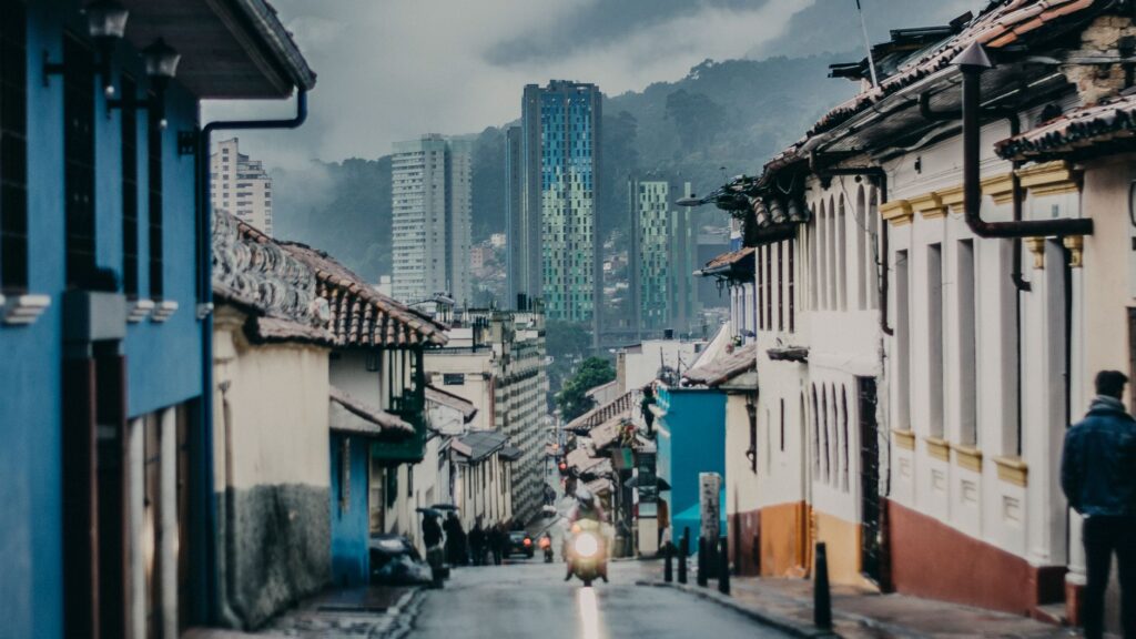
The bond between the inhabitants of the savannah and their natural environment has deep roots that precede the founding of the modern city. Pre-Columbian cultures that inhabited this high plateau already recognized the sacred and vital character of the lagoons, rivers, and tutelary hills. Today, recovering that historical memory has become an educational tool to foster a more robust environmental ethic among younger generations, linking historical respect for nature with modern ecological demands.
Local museums, community libraries, and school workshops integrate the study of the region’s physical and social geography into their agendas. By understanding that the city sits upon an ancient lacustrine system, citizens acquire a different perspective on the fragility of the ground they walk on and the need to adopt more environmentally responsible daily habits, transforming cultural heritage into an active driver for sustainability.
Daily Practices for a Sustainable City
Commitment to sustainability in a large-scale urban center does not rely solely on major governmental decisions. The daily choices of residents —from proper solid waste management to the rational use of water and energy in homes— shape the true environmental thermometer of the metropolis. Local agroecological producer markets, which directly connect savannah farmers with urban consumers, represent an expanding model that reduces the carbon footprint associated with food transport while supporting local rural economies.
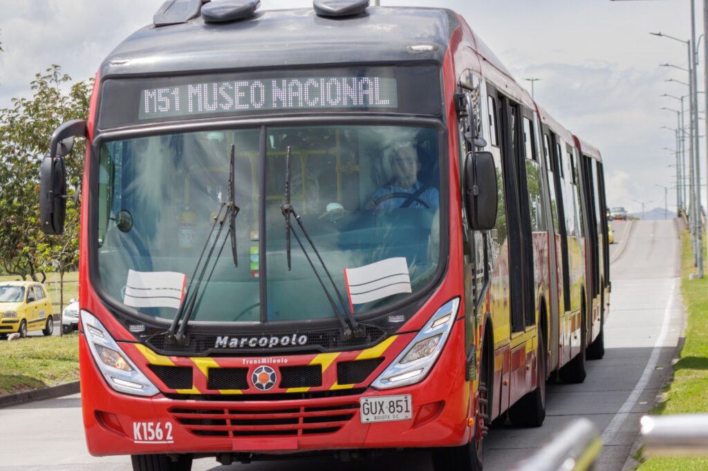
Likewise, the consolidation of active mobility networks, which integrate bike lanes and optimized mass public transit systems, helps reduce air pollution along main traffic corridors. These initiatives demonstrate that the transformation toward a more resilient urban model is a cumulative process where each sectoral advancement reinforces the long-term viability of the entire territory, proving that collective small actions generate monumental shifts.
Practical guide
How to get there: El Dorado International Airport connects the city with major hubs in the Americas and Europe. From the air terminal, access to the urban center is available through authorized taxi services, zonal public transport routes, or main highway connections.
When to visit: The capital maintains a temperate mountain climate throughout the year, with temperatures generally ranging between 9 °C and 20 °C. The months from December to March typically record lower rainfall, facilitating hikes along ecological trails and eastern hills.
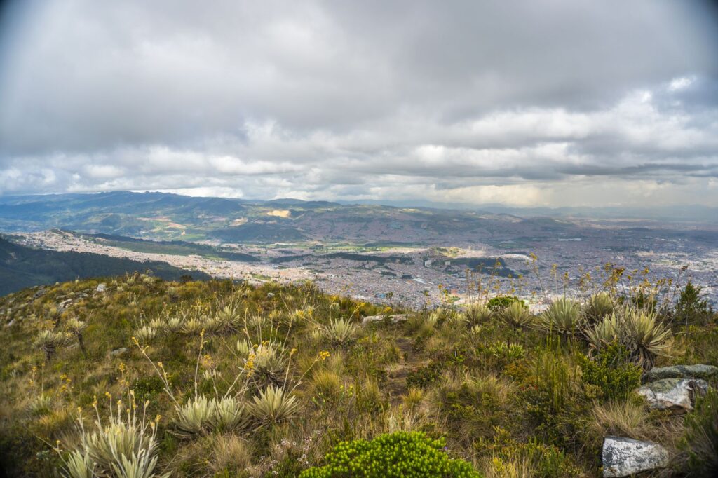
Local recommendations: To explore high-mountain areas or authorized trails in the hills, prior registration through enabled institutional platforms is essential, along with strict adherence to park rangers’ instructions. Visitors are advised to bring appropriate clothing for sudden weather changes, traction footwear, and reusable water bottles.
Responsible mobility: Preferably use the city’s bicycle lane network or the integrated public transport system to travel between various points of heritage and natural interest, thereby reducing the environmental impact of your stay.