
Introduction to the Fluvial Heart of the Peruvian Amazon
In the vast expanse of the Peruvian Amazon, water is not merely a geographical feature, but the backbone defining the biological and social rhythm of the region. The city of Pucallpa, located in the Ucayali department, unfolds as a fundamental enclave where dense tropical vegetation converges with one of the most powerful river channels in the subcontinent. This territory, characterized by its flat topography and warm, humid climate, harbors a complex network of oxbow lakes, floodplains, and tributaries that sustain a unique biodiversity, shaped by cyclic floods and the relentless flow of the Ucayali River.
Far from being conceived as a static environment, Pucallpa’s aquatic landscape undergoes profound transformations throughout the year. Water level fluctuations constantly reshape the shoreline, flooding alluvial plains and generating temporary habitats that are vital for the life cycles of numerous fish, bird, and aquatic mammal species. Understanding this ecosystem requires observing the ancient relationship between local inhabitants and water resources, recognizing both the fragility of ecological balances and the urgency of promoting tourism and development practices that respect the integrity of the basin.
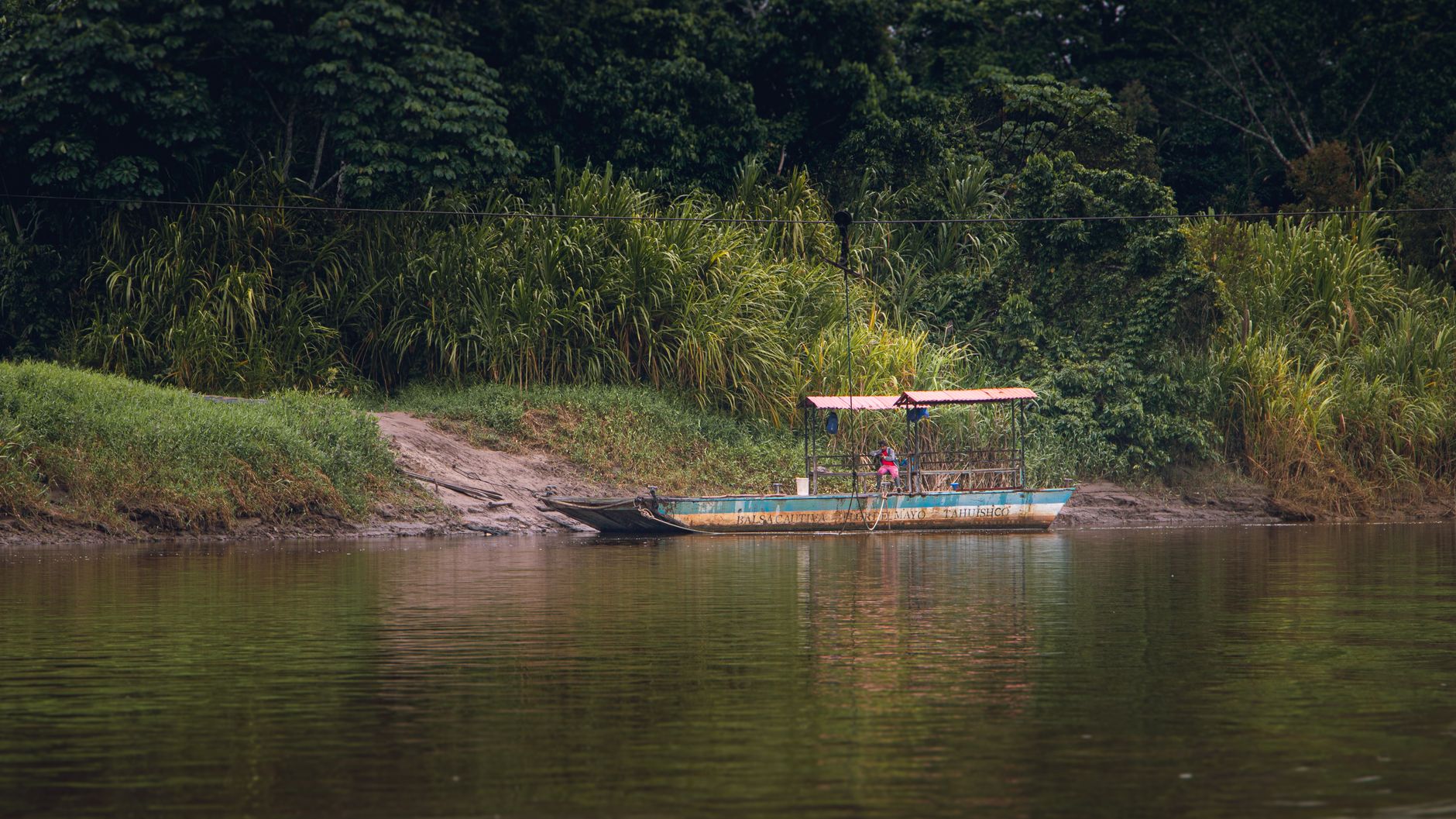
The region of Ucayali is defined by its deep connection to the aquatic matrix that sustains it. Every geographical feature tells a story of constant adaptation and resilience in the face of shifting seasonal realities. Waterways serve as thoroughfares and sustaining forces for the entire community network.
Geography and Hydrological Regime of the Ucayali River
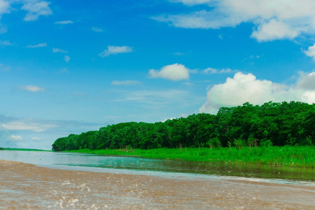
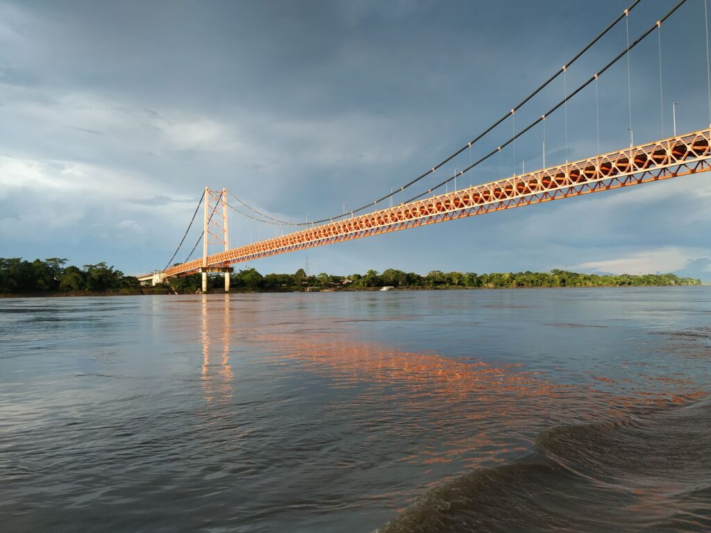
The relief of Coronel Portillo province, where Pucallpa is established, belongs to the great Amazonian plain. With an altitude of around 155 meters above sea level, the terrain is dominated by recent alluvial deposits that facilitate the formation of extensive meanders. The Ucayali River, the main fluvial artery of the area, acts as a dynamic channel transporting sediments and nutrients that fertilize surrounding soils during flood periods, known locally as the rising water season.
This hydrological regime directly determines the distribution of flora and fauna. During months of higher rainfall, waters overflow their main channel and penetrate into floodable forests, known as tahuampas and varzea. These waterlogged spaces allow frugivorous fish to move among trees to feed on fallen fruits, playing a fundamental role in seed dispersal. The dynamics of these seasonal floods are the engine driving the biological productivity of the entire Pucallpid aquatic ecosystem.
The intricate meanders created by the river currents constantly alter local geography, creating fertile sedimentary deposits. These seasonal shifts provide essential nutrients for the surrounding flora, maintaining a cycle of renewal that supports diverse habitats across the entire administrative division.
Oxbow Lakes and Flooded Forest Ecosystems
Among the most prominent elements of the local geography are oxbow lakes, formed by ancient abandoned river channels. The most celebrated in this environment is Lake Yarinacocha, a body of water functioning as an ecological refuge and a hub of interaction between riparian communities and nature. Dense aquatic vegetation develops along the shores of these lakes, dominated by floating plants such as water hyacinths and majestic water lilies, offering shelter to numerous invertebrates and fry.
The flooded forests surrounding these water bodies host vegetation adapted to temporary soil hypoxia. Trees like the kapok tree, with their monumental buttresses, and various palm species grow in symbiosis with the hydrological regime. These habitats are indispensable for regulating the water cycle on a local scale and act as natural sponges that moderate flood impacts, protecting riverbanks from uncontrolled erosion.
These tranquil aquatic environments provide a stark contrast to the powerful main channels, serving as calm nurseries for various aquatic organisms. The preservation of these lagoons is vital for maintaining regional biodiversity and supporting the ecological balance of the entire basin.
Aquatic Fauna and Adaptation to the Fluvial Cycle
Pucallpa’s faunal richness is intimately tied to the health of its waters. The Ucayali River and its surrounding oxbow lakes harbor a wide variety of fish species forming the base of the trophic chain and the economic livelihood of local communities. Emblematic fish such as the paiche, considered one of the largest freshwater giants in the world, and the surubim navigate these currents, showing remarkable physiological adaptations to survive in waters with significant fluctuations in dissolved oxygen levels.
The conservation of river corridors in the Amazon does not depend on human exclusion, but on integrating traditional knowledge into modern environmental management strategies.
Alongside fish, aquatic mammals find a favorable habitat in this territory. The pink river dolphin and the tucuxi navigate smoothly through main channels and secondary lagoons, using echolocation to hunt in turbid waters. Likewise, giant river otters patrol less disturbed shores, while various species of aquatic turtles use sandy beaches emerging during the low-water season to spawn, a natural process facing growing pressures due to habitat alteration.
The remarkable adaptations developed by local fauna highlight the evolutionary pressures exerted by the annual hydrological cycle. Every species, from microscopic organisms to large river mammals, relies on the seamless continuity of these connected aquatic habitats.
Riparian Communities and Relationship with the Environment
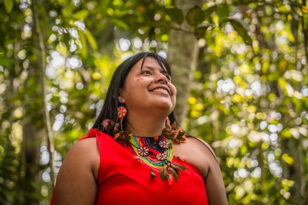
Human presence on the banks of the Ucayali has deep roots, linked to indigenous peoples such as the Shipibo-Conibo, whose worldview revolves around water and the spirits dwelling within it. Communities settled near Pucallpa have developed traditional ecological knowledge systems including the identification of favorable periods for artisanal fishing, sustainable use of medicinal plants, and the construction of stilt houses adapted to flood fluctuations.
This historical bond with the territory translates into community management seeking to balance subsistence needs with resource preservation. However, regional demographic growth and pressure on aquatic ecosystems pose complex challenges. The introduction of intensive fishing practices and deforestation in headwaters threaten to disrupt a balance that took millennia to consolidate, making intercultural dialogue indispensable for defending natural heritage.
Local inhabitants maintain a profound cultural connection to the river network, viewing water not merely as a resource, but as a living entity. This perspective fosters stewardship and respect for the natural environment, guiding everyday practices along the riverbanks.
Conservation Strategies and Low-Impact Tourism
Given the vulnerability of aquatic ecosystems in Ucayali, various local institutions and community organizations promote participatory conservation initiatives. These actions focus on monitoring commercial fish populations, protecting reproduction zones, and restoring riparian vegetation in areas degraded by human activity. The objective is to maintain ecological connectivity between the main river, oxbow lakes, and flooded forests.
In parallel, low-impact tourism emerges as a viable tool to appreciate natural heritage without compromising its integrity. Guided visits in traditional non-motorized boats, wildlife observation with trained local guides, and lodging in community lodges allow travelers to understand the complexity of the Peruvian Amazon. These experiences foster an alternative economy valuing forest and water conservation over extractive transformation.
Sustainable initiatives in the region prioritize community involvement, ensuring that visitors contribute positively to local well-being while minimizing their environmental footprint across delicate aquatic and terrestrial habitats.
Practical guide
How to get there: Pucallpa is served by Captain FAP David Abensur Rengifo International Airport, receiving regular flights from Lima. Access by river via the Ucayali River is also possible, although travel times vary depending on the season and the route from Iquitos or other points in the Amazon.
When to visit: The region features a humid tropical climate year-round. The low-water season, running from May to October, facilitates wildlife observation on river beaches and access to certain land trails. The high-water season, from November to April, allows navigation through flooded forests, although some areas are less accessible on foot.
Visitor recommendations: Always hire authorized local guides for boat excursions on Yarinacocha and minor tributaries. Respect wildlife by maintaining a safe distance and avoid single-use plastics during your journeys through rivers and communities.
Final Reflection on the Future of Amazonian Waters
The balance between human development and the protection of aquatic ecosystems in the Amazon defines one of the greatest ethical and environmental challenges of our time.
The future of Pucallpa and its natural environment depends on the collective ability to view water not as an inexhaustible resource, but as a living and fragile system. The survival of biodiversity in the Ucayali River and its oxbow lakes is a direct indicator of planetary health. By journeying through these landscapes with a respectful and conscious gaze, travelers bear witness to a reality where nature and local communities continue writing a story of resistance and adaptation in the face of a changing modern world.