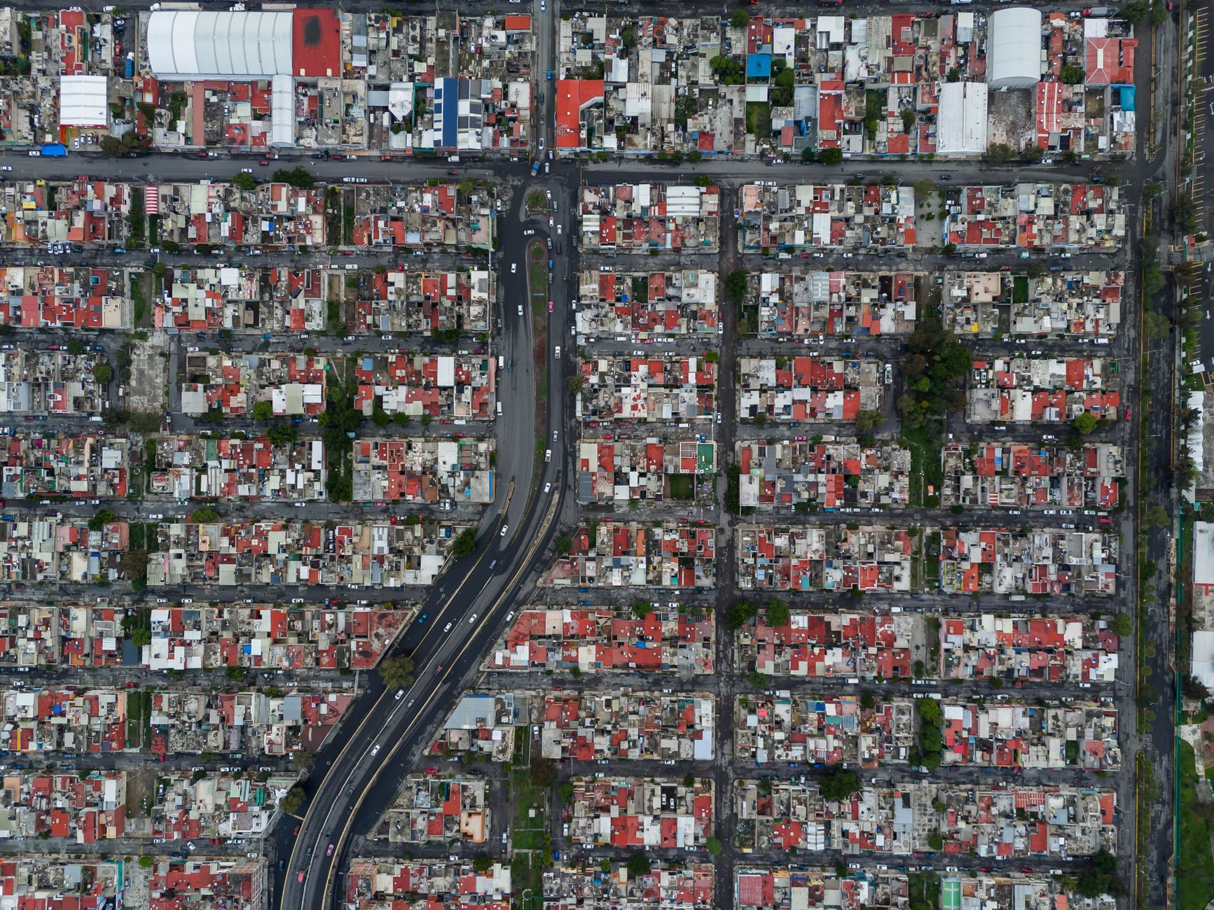

Introduction to the tectonic pulse of a nation in constant motion
Mexico’s geography is defined by a complex confluence of tectonic plates that shape both its landscapes and the daily lives of millions of inhabitants. Every seismic event tests not only the foundations of modern and ancestral architecture, but also the response capacity of mass transit systems and critical infrastructure. Far from being mere isolated incidents, these events demand a structural transformation toward urban models where sustainability and emergency mobility converge to guarantee citizen safety and the operational continuity of cities.
In this scenario, real-time data collection and the rapid dissemination of official information by institutions such as the National Seismological Service (SSN) have become the first line of defense. Mobility management during the hours following an earthquake not only determines the efficacy of rescue teams, but also redefines long-term urban resilience, forcing a rethink of how people move, how evacuation routes are designed, and how public transit can absorb and mitigate the impact of a sudden crisis.
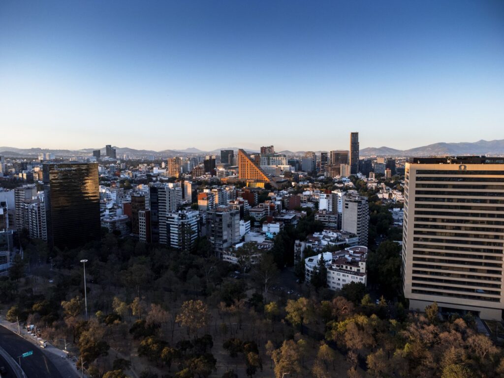
The architecture of risk: Vulnerability and modernization in urban zones
The urban development of Mexico’s major metropolises has been historically conditioned by the nature of the subsoil. In regions such as the Valley of Mexico, the transition between lacustrine soil and hilly zones generates site effects that amplify seismic waves, turning civil engineering into a discipline of constant adaptation. For decades, urban expansion prioritized speed over preventive planning, leaving a legacy of vulnerable buildings that today require costly structural reinforcement processes and technological modernization.
However, building regulations have evolved significantly in the aftermath of the devastating earthquakes of 1985 and 2017. Today, construction codes demand strict standards based on energy dissipation and seismic isolation, especially in public buildings, hospitals, and strategic transport stations. This architectural transformation seeks not absolute rigidity, but controlled flexibility that allows structures to absorb the energy released by the earth without compromising occupant safety or collapsing surrounding roadways.
Mass transit systems: Backbone during the emergency
When the earth trembles, the public transport network instantly transforms into the circulatory system that enables evacuation and the deployment of humanitarian aid. The Metro system, Metrobús, and light rail lines operate under automated safety protocols that order the temporary suspension of service to conduct thorough inspections of tracks, bridges, and tunnels before resuming operations. This pause, although generating temporary congestion, is vital to prevent derailments and major accidents.
Sustainable mobility in times of crisis is not an ecological alternative, but a critical operational necessity that requires redundant infrastructure and decentralized evacuation protocols.
The integration of real-time structural monitoring technologies within stations and viaducts allows engineers to assess damage within minutes. Nevertheless, reliance on centralized power grids remains an Achilles’ heel. Therefore, the transition toward backup systems based on renewable energy and hybrid or electric vehicle fleets emerges as an indispensable priority to ensure that urban mobility does not collapse during a massive power outage caused by a major seismic event.
Active and pedestrian mobility: Evacuation routes and refuge spaces
In the dense fabric of Mexican cities, active mobility —walking and cycling— acquires indisputable strategic value during seismic emergencies. While main avenues may become blocked by rubble or congested by private vehicles, secondary streets, urban parks, and bike lanes act as safe humanitarian corridors for the immediate evacuation of affected neighborhoods.
Contemporary urban planning recognizes the urgency of designing these public spaces not only as recreational zones, but as true nodes of community resilience. Clear signage for lower-risk zones, the removal of architectural obstacles on sidewalks, and the creation of wide pedestrian routes free of overhead cables are key elements that reduce injury rates and facilitate pedestrian access for emergency services into densely populated areas where motorized traffic is unfeasible.
Technology, information, and the institutional response of the SSN
Scientific precision is the foundation upon which public trust is built during a seismic contingency. The National Seismological Service (SSN), operated by the National Autonomous University of Mexico (UNAM), plays an irreplaceable role by immediately processing and disseminating the magnitude, exact time, and coordinates of the epicenter of every earthquake. This information, transmitted in real time through official channels and media outlets, enables the activation of early warning systems and directs civil protection resources toward areas with the highest probability of damage.

Despite technological advancements in sensors and early prediction algorithms, the challenge lies in the democratization and correct interpretation of information. The proliferation of rumors on social media during the minutes following a seismic event can generate collective panic and saturate communication channels. For this reason, risk communication strategies must be clear, timely, and supported by official data, educating citizens to act based on established protocols rather than digital speculation.
Sustainability and reconstruction: Toward a post-disaster urban model
Post-disaster reconstruction represents a unique, though historically missed, opportunity to rethink the development model of cities. Sustainability in this context implies much more than the use of recycled or low-impact building materials; it demands a redistribution of urban space that reduces the exposure of vulnerable communities to geological and hydro-meteorological risks, promoting safe and inclusive human settlements.
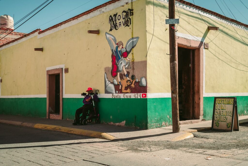
Rebuilding with sustainability criteria means abandoning the logic of immediate replacement to adopt a vision of profound transformation that prevents future disasters.
Social housing projects and the restoration of public spaces must incorporate criteria for energy efficiency, local water management, and multimodal connectivity. By prioritizing non-motorized transport and the creation of self-sufficient micro-neighborhoods, Mexican cities can reduce their carbon footprint while increasing their capacity for absorption and recovery in the face of disruptive events, transforming chronic vulnerability into sustainable community strength.
Practical guide
- Official consultation: Always monitor updates from the National Seismological Service (SSN) and Civil Protection authorities through verified institutional channels to avoid misinformation.
- Identify safe zones: Recognize designated meeting points and evacuation routes in your workplace, school, and residence before an emergency occurs.
- Emergency mobility: If you are on the street during an earthquake, stay away from facades, utility poles, and power lines; prioritize walking toward open spaces and avoid using private vehicles to prevent road gridlock.
- Urban survival kit: Keep an emergency backpack handy containing bottled water, non-perishable food, a flashlight, a whistle, important documents in physical and digital formats, and an external power bank for mobile devices.
- Structural inspection: After a strong earthquake, visually inspect your home for damage to load-bearing walls before re-entering; when in doubt, request an official risk assessment.
- Responsible transit use: Follow the instructions of Metro and Metrobús personnel in case of temporary service suspensions; remain calm and facilitate passage for rescue teams.
- Community participation: Get involved in neighborhood civil protection committees to learn local action plans and strengthen the mutual support network in your community.
Final reflection on seismic memory and the human future
Mexico’s history is deeply intertwined with the relentless rhythm of its seismic activity, a geological reality that constantly reminds us of the fragility of human structures and the urgency of acting with collective responsibility. Beyond technical protocols and magnitude figures, the true measure of our resilience lies in community solidarity and the capacity to transform pain and destruction into an unwavering commitment to build safer, fairer, and more sustainable environments. Every earthquake is a harsh lesson that calls us not to forget, to plan with a forward-looking vision, and to honor the memory of those who have suffered these tragedies by creating cities where human life and the protection of the territory are always the highest priority.
Source in EN: Gestión (https://news.google.com/rss/articles/CBMikwJBVV95cUxPWW1vU3FENGxORHU0bkQwNzZGRWRxV2p3QU5XdTVwQVJBZ2d5Um5TdE1xdW5ta2dUVTBpZHdRUlVsdThDY0pKb1FVTFJxODB1RUI2bDhDVXpZV1ZRczVBNFJVek1KM0xTWXlOelVlNEE3SU5na1Q5Z2hlRFpMclZQVU9UVk5XUkw2MmpWQ1JtU1BkblZvX3dHM2JfanZmVzhRUGt3QUVlb09wcU9ZaFduak9iNEJ5NTVla3hvRkQ1d0RDUl9XSmViS0liRVU1NE1ycEFEaE95RzJ4WDFkckdUbE91WkF4MHBrUlRlckcyTGdsNVpGbmJaMHBfdmFiUGlwUzM1LWp4Q21Nd1FvMHRUNno1cw?oc=5)