Introduction to the Aquatic Labyrinth of the Kalahari
In the dry heart of Botswana, where the Kalahari Desert seems to claim every trace of moisture, unfolds one of the most fascinating geographical anomalies on the planet: the Okavango Delta. This alluvial fan empties into no ocean, instead losing its waters to the desert sands in an seasonal cycle governed by rains falling hundreds of kilometers away in the Angolan highlands. Here, human mobility and logistics do not obey the conventional rules of asphalt or rail; instead, they follow an ancient amphibious choreography where survival depends on precise adaptation to the rise and fall of the water.
Transport in this protected territory is, by definition, intermodal and fragmented. Roads virtually disappear beyond peripheral enclaves like Maun, the regional gateway. Beyond that point, the mobility network breaks down into an archipelago of private concessions, local communities, and conservation areas where traditional shallow-draft navigation coexists with bush aviation. This report examines the complex logistical engineering that connects remote camps, researchers, and local residents without disrupting the fragile ecological balance of this UNESCO World Heritage wetland.
The Floating Engineering of the Traditional Mokoro
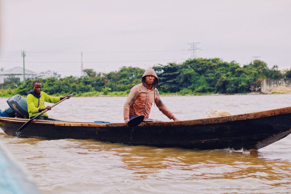
The most emblematic element of mobility in the Okavango is the mokoro, a traditional watercraft originally carved from mature hardwood trunks such as African teak or kogelhout. For centuries, polers—local navigators expert in handling these canoes—have traversed labyrinthine channels flanked by papyrus and reeds, using only a long wooden pole called a ngashi to propel and steer the vessel from the stern.
Unlike motorized transport, which disturbs wildlife and erodes riverbanks with its wake, the mokoro glides in strict silence over sheets of water barely thirty centimeters deep. This low-energy transport technique allows access to corners where motorboats would run aground or damage aquatic bird nesting sites. However, pressure on forest resources has driven a crucial regulatory transformation: today, a significant portion of the fleet is constructed from molded fiberglass, mimicking the hydrodynamics of the original wood while protecting vulnerable riparian forests from indiscriminate logging.
The Physics of Draft and the Work of Polers
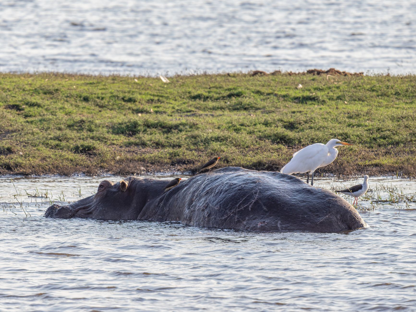
The stability of a mokoro depends on a millimeter-precise distribution of weight and a deep empirical knowledge of seasonal currents. Polers read the water with the exactness of a cartographer analyzing a topographic map. They identify shifts in water color, the presence of submerged sandbars, and the behavior of hippopotamuses, whose underwater tracks act as natural highways deepening the main channels.
The Aerial Backbone: Bush Planes and Savanna Airstrips
When distances lengthen and channels fragment during the dry season, river navigation yields the spotlight to light aviation. Maun Airport operates as the nerve center for a network of dirt airstrips scattered across the entire delta. Small twin-engine and single-engine aircraft, primarily Cessna and Britten-Norman Islander models, operate as the aerial buses of this geographical labyrinth.
These flight operations are conditioned by extreme meteorological and environmental factors. Airstrips across the concessions are mostly compacted sand strips or dry clay pans. During the rainy season, many of these strips are rendered unusable by water or by the nocturnal intrusion of wild animals like elephants and warthogs, which dig holes in the terrain. Pilots must buzz the airstrip before landing to chase away fauna, an operational standard procedure reflecting the absolute subordination of human technology to the rhythms of nature.
In the Okavango there are no straight lines or rigid timetables; the true transport infrastructure is shared terrain knowledge and absolute respect for the water cycles.
Fuel logistics for these aircraft represent a monumental challenge. All aviation fuel must be transported by road from Maun in tanker trucks adapted to cross makeshift pontoon bridges and muddy terrain, a critical link that can be disrupted during peak flood weeks.
Cabotaje Barges and Supply Logistics
For the heavy provisioning of tourist camps and interior island communities, mokoros and bush planes prove insufficient. This is where metal flat-bottomed barges powered by high-capacity outboard motors come into play. These vessels transport everything from fresh food and building materials to solar panels and diesel generators.
Navigating these barges demands constant obstacle clearance. Floating logs, known locally as sudd, and the rapid proliferation of invasive plants like water lilies can block narrow passages within hours. Local communities, organized into fluvial management cooperatives, are responsible for keeping main channels clear using manual tools, ensuring commercial and humanitarian flow remains uninterrupted.
The Impact of Annual Floods on Transport Routes
The hydrological phenomenon of the Okavango defies seasonal logic: while on dry land the dry season coincides with water scarcity, the delta experiences maximum flooding months after Angolan rains, inundating plains previously passable by four-wheel-drive vehicles. This temporal inversion forces transport managers to constantly alternate between trucks, barges, and aircraft in a predictable yet relentless annual cycle.
Sustainability and Conservation Under Tourism Pressure
The steady increase in international tourism has intensified pressure on the delta’s transport infrastructures. Botswana’s authorities have implemented a low-volume, high-value development model specifically designed to limit daily visitor numbers and reduce the ecological footprint of aviation and navigation.
Environmental guidelines strictly prohibit the use of two-stroke engines in the most ecologically sensitive zones due to hydrocarbon pollution in stagnant waters. Likewise, the location of airstrips and jetties is planned through environmental impact studies avoiding the fragmentation of migratory corridors for large mammals such as elephants, lions, and wild dogs.
- Mandatory use of low-emission electric or four-stroke motors in protected areas.
- Community maintenance of channels to avoid the use of aggressive mechanical dredges.
- Flight time restrictions for bush planes to minimize acoustic impact on wildlife during twilight hours.
- Annual waste management audits in camps accessible solely by air or water.
Practical Guide
Planning a trip or transit through the Okavango Delta requires understanding its complex logistical network and operational constraints.
Getting There and Main Connections
The mandatory international entry point is Sir Seretse Khama International Airport in Gaborone, connecting via daily domestic flights to Maun Airport, the logistical capital of the delta. Alternatively, regular flight connections operate from Johannesburg (South Africa) directly to Maun.
Internal Logistics and Transport Modes
Internal travel within the delta is managed almost exclusively through local tour operators or authorized air charters. Private vehicle traffic is strictly prohibited in interior reserves. Transfers invariably combine short bush plane flights with final legs on mokoros or speedboats depending on seasonal water levels.
Best Time for Navigation
For the classic mokoro experience, the months from May to August offer optimal water levels thanks to the arrival of the annual flood. If the primary objective is viewing terrestrial wildlife congregating around remaining waterholes, the dry season between September and November is more suitable, although some secondary river routes may become challenging to navigate.
Luggage Recommendations and Restrictions
Due to strict weight and space limitations on bush planes, luggage must be packed exclusively in flexible soft-duffel bags; rigid suitcases with metal or polymer frames are strictly prohibited. The standard weight limit is typically set at 15 kilograms per passenger, including camera equipment.
Silence, Water, and Memory in the Okavango Twilight
As the sun begins to dip over the alluvial plain, dyeing the horizon in ochre and violet hues, the bustle of modern logistics completely dissolves into the wetland’s silence. At that exact moment, a poler stands tall atop his mokoro, gently pushing the pole against the sandy bed as a herd of elephants swims across the main channel nearby. No roaring engines or artificial infrastructures disrupt the scene; only the perfect synchrony between humanity and water. This fragile harmony proves that true transport mastery in the heart of Botswana lies not in subduing the territory, but in learning to move with it, preserving intact the ancient heartbeat of one of Earth’s last amphibious sanctuaries.