
The East China Sea conceals a geological secret among its turquoise folds where time seems measured by the rhythm of the tides and the sway of aluminum hulls. The Kerama archipelago, located a mere forty kilometers west of Okinawa’s bustling main island, represents a delicate balance between the vocation of isolation and the constant pressure of contemporary tourism. In this labyrinth of coral reefs and wind-sculpted cliffs, mobility is not merely a logistical matter; it is the umbilical cord sustaining the daily life of fishing communities transformed into global sanctuaries for humpback whale observation. Understanding how residents and travelers move across this insular mosaic requires deciphering a millimeter-precise intermodal network where high-speed ferries, local launches, and a strict dependence on seasonal weather conditions converge.
The backbone of this transport system rests on two main port terminals located in the prefectural capital: the Tomari Port in Naha. From its docks, vessels depart daily connecting urban civilization with the outlying enclaves of Tokashiki, Zamami, and Aka. However, the apparent simplicity of the crossing conceals a complex technical choreography. The marine currents converging in the Kerama channel generate severe turbulence during tidal shifts, compelling maritime authorities to restrict departures when the northeast monsoon batters the region with gusts exceeding thirty knots. This intrinsic vulnerability turns every journey into an exercise in precision where the expertise of local captains is as decisive as the vessels’ propulsion technology.
The Amphibious Fleet: Between Fast Catamarans and Heavy Cargo Ferries
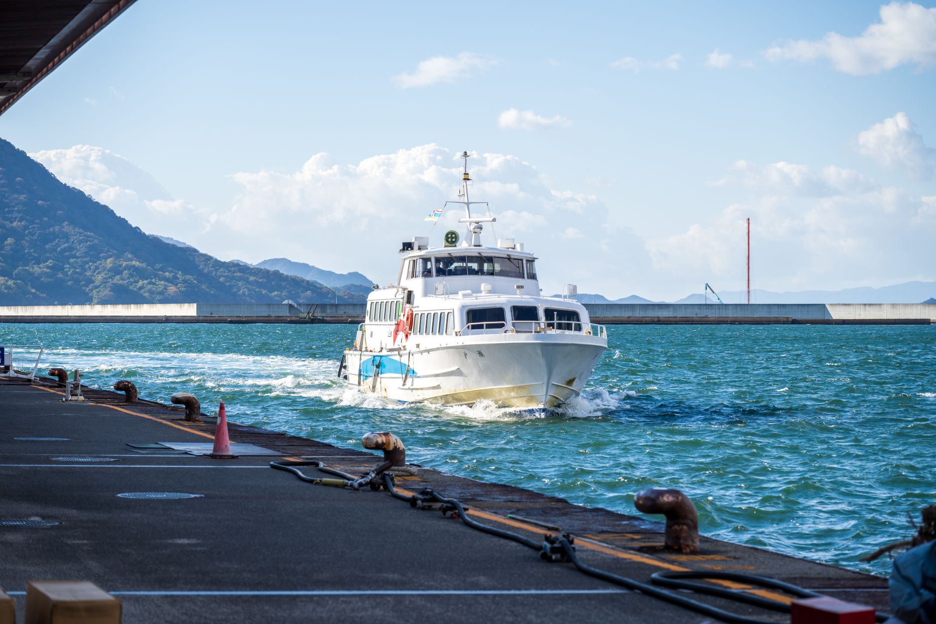
Fleet diversification is the direct response to disparate cargo and passenger requirements. On one hand operate hydrofoils and lightweight catamarans, locally known as the queen of the waves, capable of covering the distance to Zamami in a mere fifty minutes. These vessels prioritize speed and temporal efficiency, carrying exclusively passengers and hand luggage. Their aerodynamic design and hydrodynamic lift hulls allow them to deftly bypass wave crests, though their operability is suspended immediately in the presence of waves exceeding three meters. The rigor of these safety protocols reflects a prevention culture deeply rooted in Okinawa Prefecture.
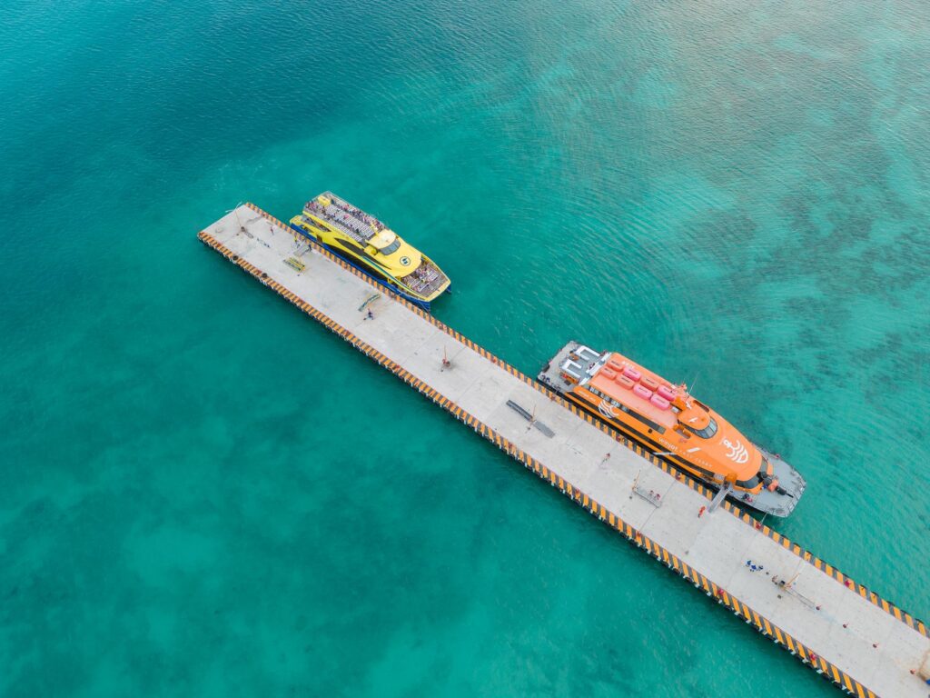
At the opposite end lie conventional ferries, steel behemoths designed to transport vehicles, construction materials, liquefied gas, and fresh food. These heavy cargo vessels invest up to two hours completing the same route, navigating at a leisurely pace that allows passengers to contemplate marine topography and the silhouette of uninhabited islets dotting the route. The ferry is not merely a means of transport; it constitutes the archipelago’s true floating market. Aboard, commercial agreements are struck, community news is exchanged, and provisions supplying small local inns and shops on each island are transported.
Connectivity in the Kerama is not measured in kilometers of asphalt, but in the fidelity of a steel hull against the relentless onslaught of the open sea.
Power supply and waste management depend entirely on this cargo fleet. Every ton of fuel necessary for the diesel generators of the smaller islands must be stowed with millimeter precision on the deck of these vessels. Any disruption in the navigation schedule due to a typhoon immediately triggers a chain of controlled scarcity on local shop shelves. This extreme logistical dependency underscores the inherent fragility of island life in the modern era, where globalization collides head-on with ocean physical barriers.
Port Infrastructure Against the Pacific Onslaught
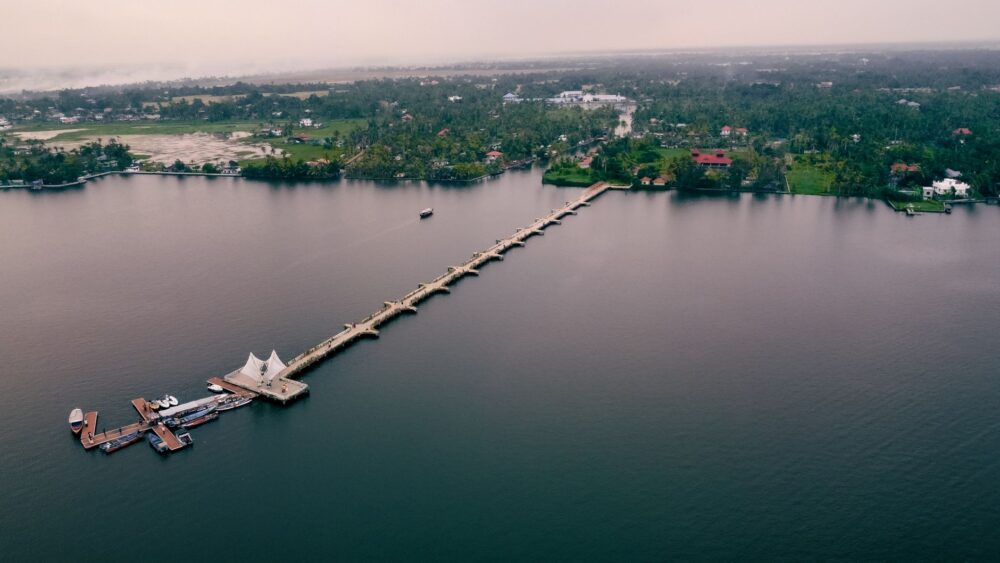
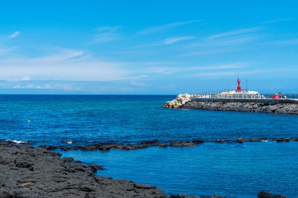
The docks of the Kerama islands are authentic engineering works adapted to an extreme subtropical environment. Reinforced concrete breakwaters, designed to dissipate the kinetic energy of Pacific typhoons, protect basins where draft varies drastically between low and high tide. On Tokashiki Island, Aharen Port has undergone successive expansions to accommodate larger-beam vessels, balancing touristic necessity with the environmental protection of surrounding seagrass meadows. Floating docking structures allow ferries to couple smoothly, absorbing the oscillating movement of spring tides.
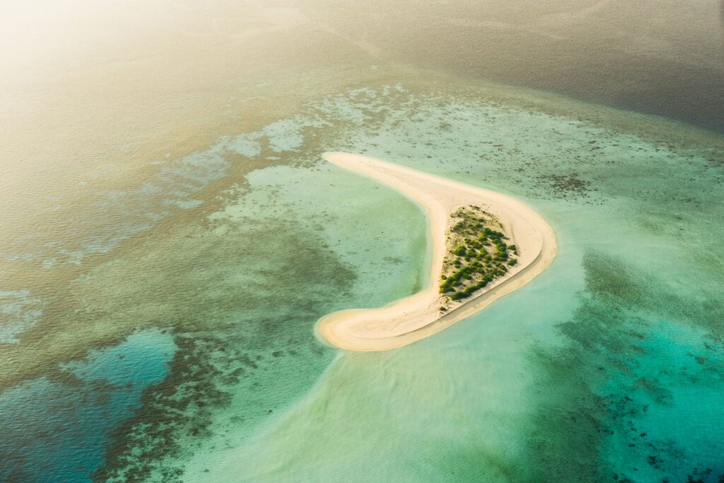
Despite these structural investments, marine erosion and salt damage demand constant maintenance. Local civil engineers work closely with marine biologists to ensure dredging of access channels does not alter fragile coral ecosystems that earned the archipelago national park designation. Each intervention along the coastal edge is evaluated under strict ecological standards, conscious that destroying the reef equals losing the natural barrier protecting ports themselves from open sea fury.
Internal Mobility: Bicycle Fleets, Island Buses, and Traffic-Lightless Roads
Once the dock is reached, the transport paradigm shifts radically. Within islands like Zamami or Aka, there are no complex public transport networks or conventional taxi fleets. The territory’s human scale allows mobility to be resolved through small electric community buses, vans operated by local accommodations, and, predominantly, bicycles and walking. This absence of vehicular congestion grants the archipelago an atmosphere of timeless respite, where engine roars are replaced by the sound of wind in coastal pine forests and the song of endemic birds.
Insular roads, characterized by steep slopes and sharp curves winding between subtropical forest-covered hills, demand extreme caution from casual drivers. Rental vehicles available to visitors are limited in number and power, prioritizing compact and low-emission models. This spontaneous self-regulation protects both road safety and scenic tranquility, preventing mass tourism from saturating access routes to the most coveted panoramic viewpoints.
Climatic Seasonality and the Pulse of Marine Migrations
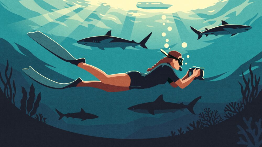
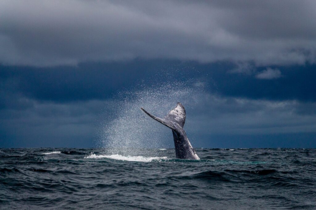
Kerama transport rhythms are inextricably linked to biological and meteorological cycles. Between January and April, the archipelago undergoes a radical transformation driven by the massive arrival of humpback whales choosing warm protected waters for mating and calving. During this period, demand for fast ferry seats surges, attracting naturalists and photographers worldwide. Shipping companies increase service frequencies, coordinating with local whale-watching cooperatives to regulate the flow of smaller vessels venturing into the protected habitat.
In contrast, the typhoon season, extending from July to October, imposes a forced truce. When weather alerts activate, total suspension of maritime traffic can persist for several consecutive days. Residents and visitors temporarily trapped on the islands must activate self-sufficiency protocols while insular authorities monitor weather radars awaiting the opening of a calm window to restore service. This alternating cycle of effervescence and isolation defines the resilient character of a community accustomed to dialoguing with the untamed force of the elements.
Practical guide
Planning a trip to the Kerama archipelago requires deep knowledge of its maritime connections and absolute flexibility regarding unforeseen weather variations characterizing the East China Sea.
How to Get There from Naha
The mandatory starting point is Tomari Port (Tomarin) in Naha, Okinawa’s capital. Two main service types operate via Zamami Village Yakuba and Tokashiki Village: the high-speed ferry (Queen Zamami / Marine Liner Tokashiki), taking approximately 50-70 minutes, and the conventional ferry (Ferry Zamami / Ferry Tokashiki), taking 90 to 120 minutes. Booking tickets months in advance during the peak summer season and the winter whale-watching period is strictly mandatory.
Inter-Island Mobility
Direct communication between outlying islands (Zamami and Aka) is handled by the small municipal boat *Green Cruise*, running several short daily trips. No bridges or tunnels connect the archipelago’s different islands, making this local maritime service indispensable for residents and visitors alike.
Luggage and Logistical Restrictions
Fast catamarans impose strict limits on bulky luggage (generally one medium suitcase per passenger). Surfboards, heavy scuba gear, and large parcels must be shipped on the conventional cargo ferry. Traveling light and checking route operational status early in the morning at port offices or via official prefectural apps is highly recommended.
Environmental Code of Conduct
The archipelago is integrated into Keramashoto National Park. Anchoring in live coral areas, discharging waste of any kind, and disturbing marine fauna during navigation routes are strictly prohibited. Visitors must carry out all waste generated during terrestrial excursions.
The constant murmur of waves striking Zamami’s concrete breakwaters summarizes the essence of a territory where modernity pauses at the water’s edge. The Keramas continue defying contemporary world urgencies through a humble, precise transport network profoundly respectful of the environment. As long as ferry hulls continue cleaving turquoise currents with ancient navigators’ patience, this subtropical sanctuary will keep the door open to its fragile and fascinating isolation.