
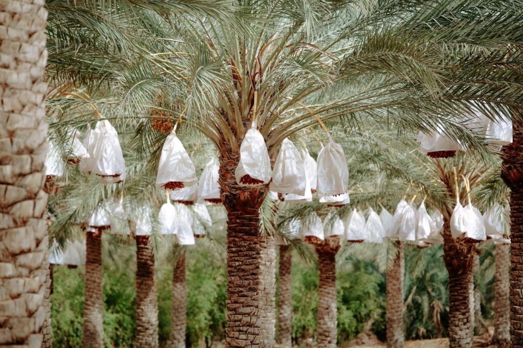
In the heart of Saudi Arabia’s Eastern Province, where the red sand dunes of the great desert expanse merge with the green mantle of millions of date palms, human and commercial mobility is governed by relentless geographical laws. Al-Ahsa, the world’s largest oasis, is not only a hydrogeological miracle fueled by ancient artesian springs, but also an intricate intermodal hub that has continually reinvented itself from ancient caravan tracks to the era of heavy logistics. Here, the survival of entire settlements depends on a delicate balance between hardened salt tracks, dusty asphalt roads, and a capillary network of tanker trucks that daily defy the extreme aridity of the surroundings.
Understanding the dynamics of this territory requires abandoning conventional schemes of urban infrastructure. In this corner of the Middle East, communication routes do not merely connect geographical points; they act as umbilical cords transporting fresh water, agricultural inputs, and seasonal labor to communities that would otherwise be entirely cut off by the mutability of eolian terrain. This report examines the daily pulse of a transport system where modern civil engineering engages in constant dialogue with the ancestral wisdom of nomadic herders and local farmers.
The Geography of Water and Salt: The Foundations of the Territory
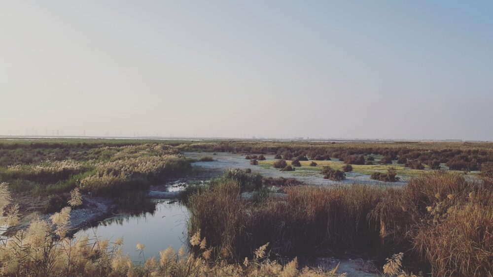
The territory of Al-Ahsa rests upon a unique geological depression where groundwater naturally rises, allowing for intensive agriculture for millennia. However, this very hydrological abundance generates a clayey and saline soil that complicates the laying of stable transport infrastructure. The salt flats, known locally as sabkhas, represent a latent danger for any vehicle deviating from consolidated corridors. Beneath a seemingly solid crust, trapped moisture can turn the ground into a corrosive mud capable of swallowing a truck wheel within minutes.

Historically, the incense and spice caravans crossing the peninsula avoided these geological traps by following the foothills of the rocky escarpments. Today, road engineers replicate those ancient routes using crushed stone bases and layers of geotextile to stabilize the asphalt against the expansion of mineral salts. Despite these efforts, maintaining the secondary road network is a titanic task requiring daily inspections and the constant removal of mobile dunes that invade roadways driven by dominant northern winds.
The Rolling Water Artery: Tanker Trucks and Vital Supply
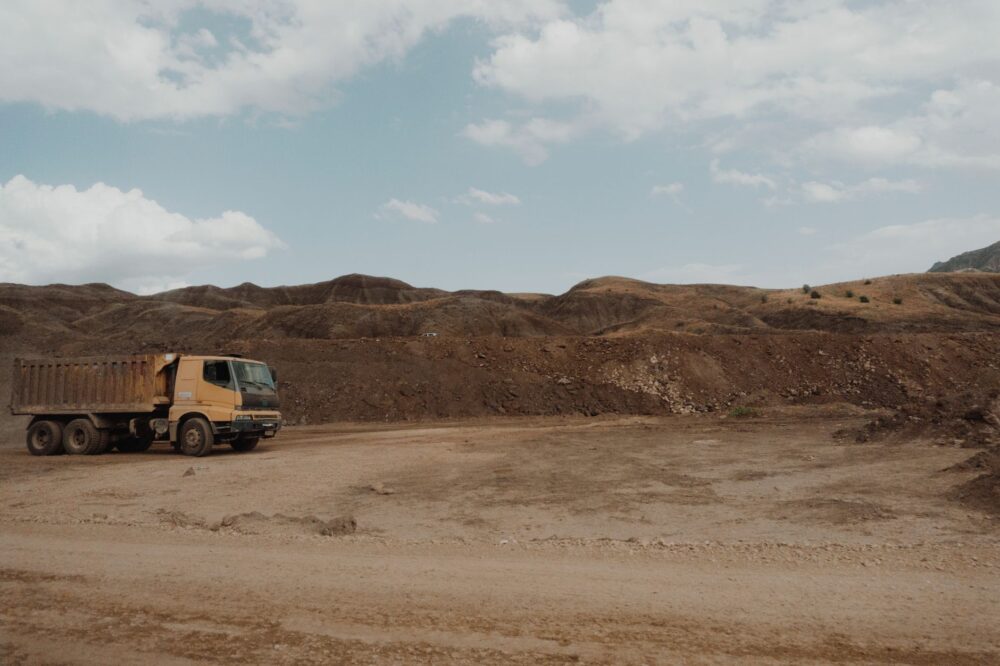
While major highways connect primary cities with the ports of the Persian Gulf, the true lifeblood of the interior oasis circulates on the tires of an incessant fleet of tanker trucks. These vehicles, operated by both state companies and local cooperatives, daily traverse the gravel tracks separating main wells from peripheral crops and small residential villages. In a region where annual precipitation is practically negligible, the road network is, strictly speaking, an aqueduct on wheels.
The flow of these trucks responds to strict schedules dictated by ambient temperature. During the central hours of the day, when mercury easily surpasses forty-five degrees Celsius, the pressure on engines and tires multiplies, forcing drivers to concentrate logistical operations during dawn and twilight hours. This nocturnal and early morning logistics endows the desert with a very peculiar soundscape, where the steady hum of diesel engines blends with the whispering wind through palm fronds.
The road in the desert is not a static line on a map; it is a living organism that must be repaired, redrawn, and respected every dawn to prevent the absolute isolation of communities.
The reliance on this rolling infrastructure has spawned a specialized economic ecosystem along main routes. Improvised mechanical workshops, spare parts stands, and service stations adapted to withstand dust storms dot the shoulders, creating meeting points where the human diversity of the region converges, from hardened desert truckers to traditional farmers.

Four-Wheel Drive Tracks: The Hidden Network of the Deep Desert
Beyond paved roads, a labyrinth of four-wheel drive tracks exists that only local drivers and experienced Bedouins can interpret without error. These tracks do not appear on standard digital navigation systems and constantly shift due to sand accumulation. They are the arteries communicating the most remote livestock enclaves and ancient grazing wells still utilized during winter months.
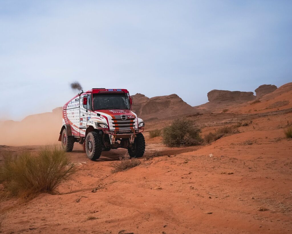
Traveling along these routes demands vehicles prepared with tire pressure reduction systems and rigorous planning for fuel and water. A miscalculation in these depopulated expanses can result in a critical emergency situation. For this reason, the sense of solidarity among the few travelers crossing these zones remains an unwritten yet ironclad rule: stopping before a stranded vehicle is not an option, but an inescapable moral obligation.
The Footprint of Time: From Camel Back to Industrial Asphalt
The transformation of transport in Al-Ahsa reflects the dazzling modernization of the entire Arabian Peninsula over the past century. Until the 1950s, goods and passenger transport depended exclusively on dromedaries and caravan routes taking weeks to connect oases with the coast. The arrival of early oil exploration vehicles carved the first mechanical breaches in the desert, altering forever the geography of isolation.
Today, the contrast between the nomadic past and the industrial present is evident at crossroads where modern multi-lane highways intersect with ancient livestock trails. This cultural and technological clash poses unique challenges for preserving local heritage. Regional authorities implement ecological corridors and underpasses to allow the safe transit of traditional livestock without interrupting the heavy traffic flow supplying nearby industrial complexes.
Sustainability and Climate Change in Oasis Mobility
The future of Al-Ahsa’s transport system faces unprecedented environmental challenges driven primarily by global warming and accelerated desertification. The relentless advance of dunes over road infrastructure consumes millions in resources every year for cleanup and ground consolidation. Likewise, exclusive reliance on fossil-fuel-powered vehicles in such a vulnerable environment demands a transition toward more efficient fleets resistant to extreme heat.
Local and university researchers are experimenting with new paving materials reflecting solar radiation and reducing surface asphalt temperature, thus preventing premature road deformation. Similarly, artificial intelligence-based early warning systems are being studied to predict sandstorms before they reduce visibility to zero on high-speed highways bordering the oasis.
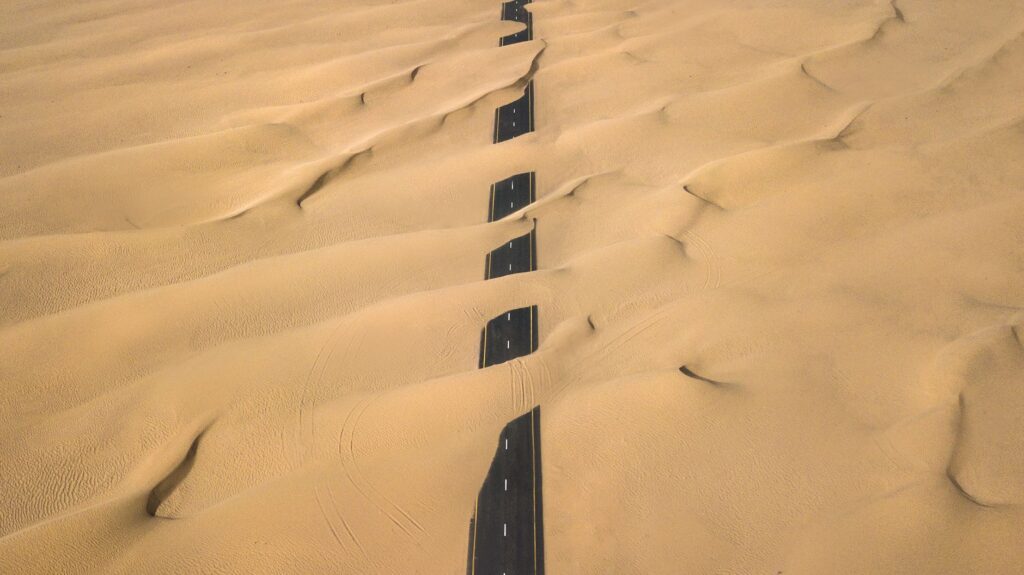
Maintaining the transport network open in a hyper-arid environment requires as much science as intuition, combining high-tech geospatial knowledge with ancestral wisdom of winds and sands.
This constant effort to maintain connectivity demonstrates that transport infrastructure is not merely a matter of concrete and tar, but the physical support sustaining the cultural continuity of one of the oldest agricultural communities on the peninsula.
Practical guide
How to get there: The primary access to the Al-Ahsa region is via Al-Ahsa International Airport (AHF) or through the high-speed rail network connecting the capital, Riyadh, with major eastern urban centers like Hofuf.
When to travel: The months between November and March offer the most favorable weather conditions to explore the region, with moderate daytime temperatures ranging between 20 and 25 degrees Celsius.
Vehicle rental: It is essential to have a properly insured four-wheel-drive (4×4) vehicle if planning to leave main roads to traverse oasis tracks and peripheral dune areas.
Safety and navigation: Never travel off paved routes without a satellite communication device and sufficient drinking water reserves. Mobile phone signals can disappear in deep desert depressions.
Cultural respect: Local oasis communities preserve strict rules of hospitality and decorum. It is recommended to dress modestly and always ask permission before photographing residents or private agricultural properties.
The Ultimate Silence of the Horizon
When the sun begins to descend behind the sea of dunes surrounding Al-Ahsa, the suffocating daytime heat gives way to a silent truce that completely transforms the landscape. At that twilight instant, the straight lines of roads cutting through the desert seem to merge with the eternity of the horizon, reminding the traveler of the insignificance of human footprints against nature’s vastness. Tanker trucks turn off their engines on shoulders, farmers return home among palm shadows, and the wind once again erases footprints on the sand. Remaining motionless at this crossroads is understanding that the true essence of great eastern oases lies not in their isolation, but in that fragile and tenacious line of asphalt and life keeping them united to the rest of the world.