
Introduction to the Carpathian Ridge
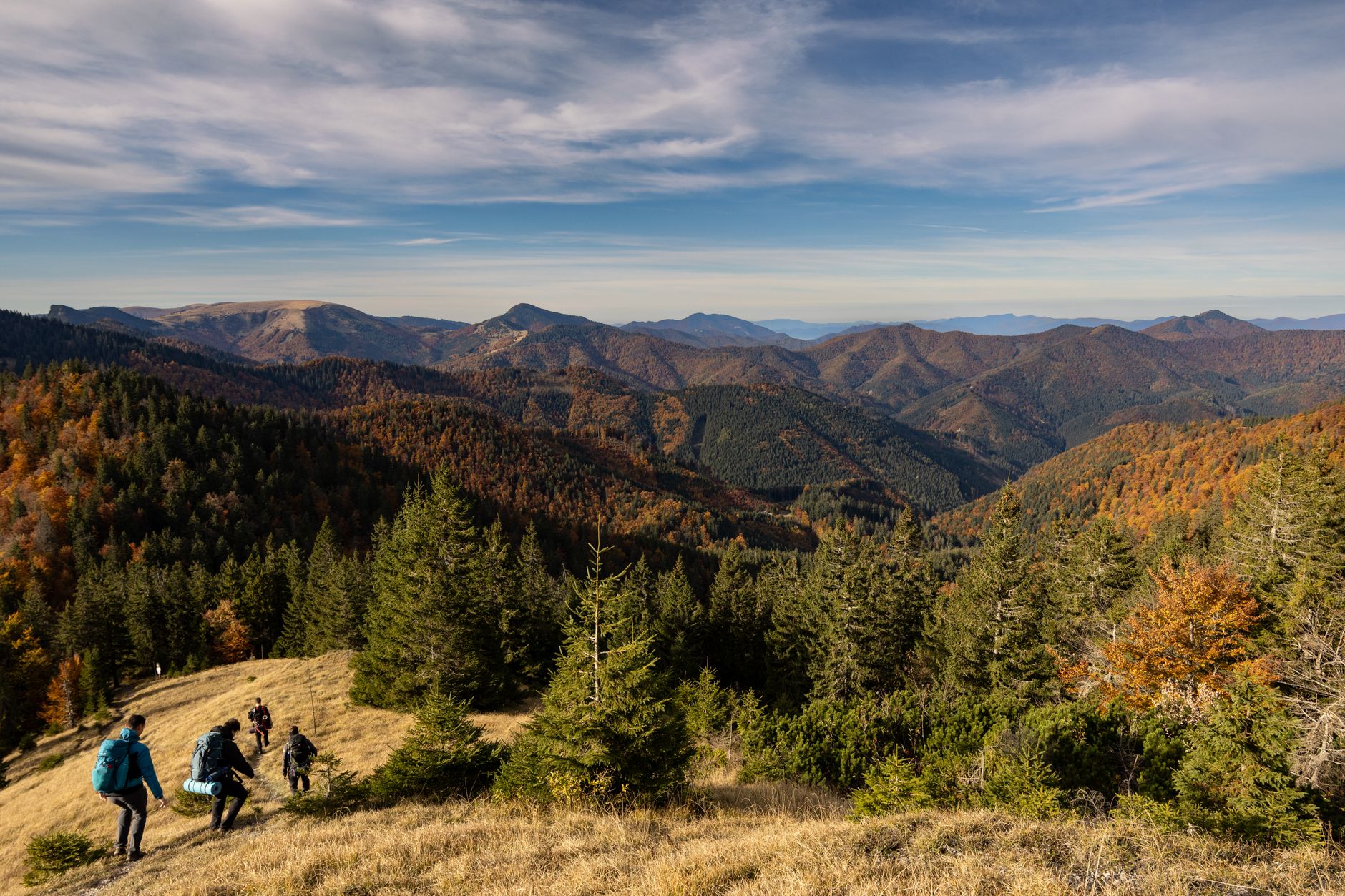
The arc of the Southern Carpathians in Romania represents one of the last bastions of truly wild nature on the European continent. Far from the mass-marketed circuits of the Western Alps, this mountainous territory demands meticulous preparation, respect for unpredictable weather, and a deep understanding of an ecosystem where large populations of European carnivores still roam. Traversing this massif is not a simple summer stroll, but an exercise in autonomy and rigorous topographic reading across limestone crests, primeval beech forests, and hanging glacial valleys.
Planning an expedition of this magnitude requires accepting that self-sufficiency is an unwritten rule. Unlike other densely woven European mountain ranges with commercial infrastructure, the Carpathians demand carrying the weight of survival for several days, with water sources often depending on seasonal runoff and mountain shelters ranging from emergency metal structures to makeshift bivouacs. This report examines the technical keys to successfully confronting one of Eastern Europe’s most demanding and rewarding trekking routes.
Geography and Dynamics of Karstic Terrain
The geological substrate of the Southern Carpathians, locally known as the Transylvanian Alps, is dominated by limestone and metamorphic formations that create a landscape of abrupt contrasts. Toothed ridges alternate with karstic plateaus where rainwater quickly filters underground, leaving the surface devoid of superficial streams for miles. This phenomenon forces the trekker to calculate water reserves with extreme precision, as depending on high-altitude springs can become a risk factor if secondary sources run dry during extended dry spells.
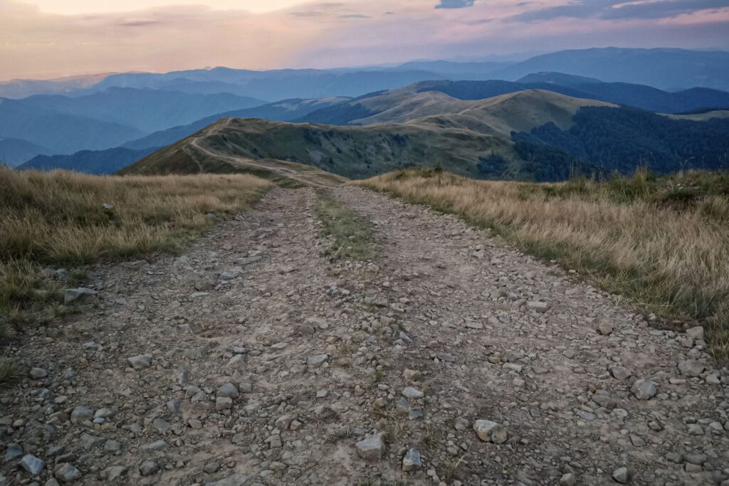
In addition to sporadic ridge aridity, karstic terrain features sinkholes, potholes, and lapiaz pavements. Walking on these wet or lichen-covered surfaces requires technical-soled footwear and constant attention to footplacement. Cumulative elevations are typically sustained, with gradients frequently exceeding thirty degrees of inclination. Managing trekking poles and utilizing basic progression techniques on loose rock are indispensable for preventing joint injuries or accidental falls in exposed areas devoid of tree cover.
Meteorology and Summer Progression Windows
The geographic position of the Carpathians, exposed both to humid winds from the Black Sea and cold continental fronts from the north, generates highly volatile high-altitude weather. Afternoon thunderstorms are a constant during the summer months, forming rapidly over forested valleys to discharge with destructive force on exposed summits. Experienced mountaineers must start their marches at dawn, aiming to complete exposed ridge sections before noon to minimize the risk of lightning exposure.

Dense mists, locally known as ceata, can descend within minutes, reducing visibility to less than five meters and disorienting even the most seasoned navigators. In this scenario, satellite navigation systems and traditional compasses cease to be secondary tools and become operational lifelines. It is crucial to log planned tracks and maintain fluid communication with local mountain rescue services, known as the Salvamont team, whose presence at strategic passes is vital during peak trekking season.
Management of Large Fauna and Coexistence
One of the most fascinating and delicate features of the Romanian Carpathians is that they harbor one of Europe’s healthiest populations of large mammals, including brown bears, wolves, and lynx. Unlike other regions of the world where wildlife has been entirely displaced, here trekkers share habitat directly with these animals. Route planning must incorporate strict food safety protocols, utilizing bear-resistant containers or waterproof bags hung at a safe distance from resting areas and always sleeping with provisions away from tents or open shelters.
The use of approved bear spray and the habit of continuous talking or making noise in dense forest zones or thick rhododendron brush are essential preventive measures. Surprising a mother with cubs or a feeding animal is the primary trigger for conflict encounters. Far from alarmist myths, the vast majority of incidents are avoided by keeping calm, backing away slowly without running, and showing absolute respect for natural spaces where human beings are, in truth, temporary guests.
Shelter Logistics and Autonomous Bivouacking
The network of shelters in the Romanian Carpathian arc is heterogeneous. While the foothills of major massifs like Bucegi or Piatra Craiului feature staffed cabins offering basic food and lodging, high-altitude traverses along crests like Făgăraș or Retezat are dominated by unstaffed emergency shelters. These shelters are sheet-metal structures or small stone buildings designed to protect against sudden weather deterioration, but they rarely offer thermal comfort or sufficient bunks for large groups on peak weekends.
For this reason, the expedition pack must include a robust three-season camping system capable of withstanding intense katabatic winds and persistent precipitation. Regulations regarding wild camping vary according to national park boundaries, generally being permitted in designated areas or in the immediate vicinity of shelters, always under the premise of leaving the environment exactly as found, without trace of garbage and minimizing impact on fragile alpine flora.

The true measure of an alpine traverse does not lie in the altitude reached above sea level, but in the walker’s capacity to attune themselves to the silent pulse of the primeval forest and accept the unyielding rules of high-altitude weather.
Nutrition and Hydration on Self-Managed Routes
Sustaining physical effort during consecutive days of trekking with positive elevation gains exceeding one thousand meters requires a meticulously calibrated nutritional strategy. High-calorie dehydrated meals, nuts, technical chocolate, and slow-assimilation carbohydrates are the pillars of the expedition pantry. With no grocery stores along the ridges, initial food weight determines pack load, forcing a surgical balance between necessary calories and physical capacity to bear the load during eight- to ten-hour stages.
On the hydration front, water purification is an inescapable task. Although mountain streams appear crystal clear, the presence of livestock at middle elevations and wildlife at high elevations makes the use of hollow-fiber membrane filters or chemical purification tablets mandatory. Natural water sources should always be purified, and refill points calculated using updated topographic maps, avoiding depleted reserves given the real possibility of encountering completely dry seasonal sources.
Cultural Heritage and Carpathian Villages
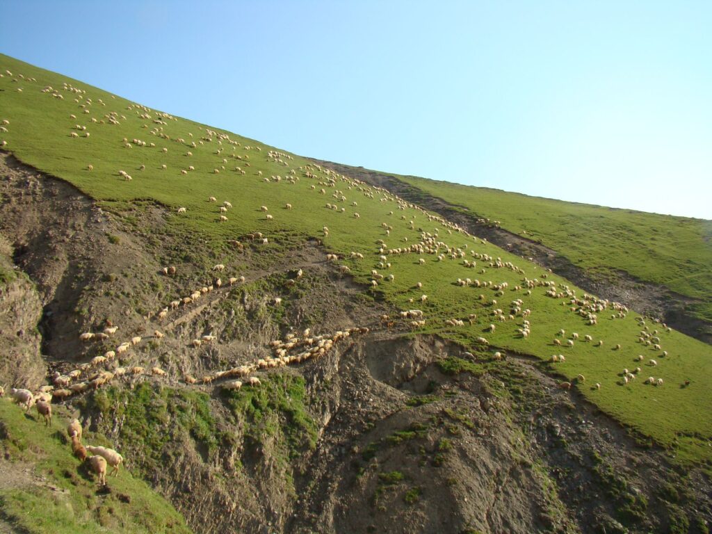
Trekking in the Carpathians transcends mere physical activity, becoming an ethnographic journey through rural communities that have preserved traditional ways of life for centuries. In the foothills of the massifs, Saxon-influenced villages and wooden houses with gabled roofs maintain agricultural and pastoral traditions nearly extinct in Western Europe. Interacting with locals, buying artisanal cheese at shepherd camps, or staying in family-run guesthouses at the start or end of the trek significantly enriches the travel experience.

This human fabric also forms an invaluable informal safety net. Local shepherds know shortcuts, spring conditions, and sudden wind shifts better than any digital application. Showing respect for their property, closing pasture gates behind you, and greeting them warmly in Romanian opens the door to authentic rural hospitality characterized by sobriety, frankness, and deep wisdom accumulated in the shadow of the mountains.
Practical guide
- Best time for the traverse: July to September, when high-altitude passes are free of persistent snow and the risk of morning thunderstorms is predictable.
- Main access: Fly into Sibiu International Airport or Cluj-Napoca, from where local trains or buses provide access to the entry points of the Făgăraș and Retezat massifs.
- Mandatory equipment: High-top trekking boots with waterproof membrane, telescopic poles, advanced first-aid kit, bear spray, and water purification system.
- Permits and regulations: National park entry is mostly free, but using restricted camping areas requires consulting specific regulations from each forestry administration.
- Communications: Mobile phone coverage is practically nonexistent in most deep valleys and main ridges; carrying a satellite communication device is strongly recommended.
- Insurance: Having private insurance that specifically covers helicopter rescue and medical evacuation in high mountains is essential.
Epilogue in the Summit Mist
When the effort of the final steep ascents dissolves into the thick silence of morning mist enveloping the summit, the traverse acquires its true human dimension. It is no longer about crowning a geodetic marker or accumulating distance statistics, but about the intimate attunement between the walker and the vastness of a landscape that belongs to no one and yet welcomes everyone. The Carpathians, with their mix of karstic ruggedness, infinite forests, and vertical solitudes, remind us that genuine adventure is still possible for those willing to walk with firm steps, humility, and wide-open eyes.