
Introduction to the Northernmost Outpost of the British Isles
At the exact point where the waters of the North Sea merge with the wild currents of the Atlantic Ocean, the Shetland archipelago forms a territory where mobility is not merely a service, but a daily exercise in resilience. Situated over one hundred miles north of the Scottish mainland and geographically closer to the latitude of Bergen than to Edinburgh, these islands depend on a millimeter-precise choreography of transport to maintain their vital pulse. Understanding this system requires stripping travel of any superficial romanticism to delve into an intermodal network where margins for error are minimal and meteorological elements dictate the daily rhythm.
The insular orography, composed of over a hundred islands of which barely sixteen are permanently inhabited, poses a permanent logistical challenge for transport authorities and local operators. From the sheltered docks of Lerwick to the airstrips carved against the wind in Sumburgh, the infrastructure is designed to withstand the onslaught of oceanic gales that can isolate entire communities within hours. This report examines the mechanical, human, and geographical gears that sustain the fragile connectivity of this northern frontier, revealing how travel is articulated in one of Europe’s most demanding environments.
The Maritime Backbone: The Overnight Link from Aberdeen
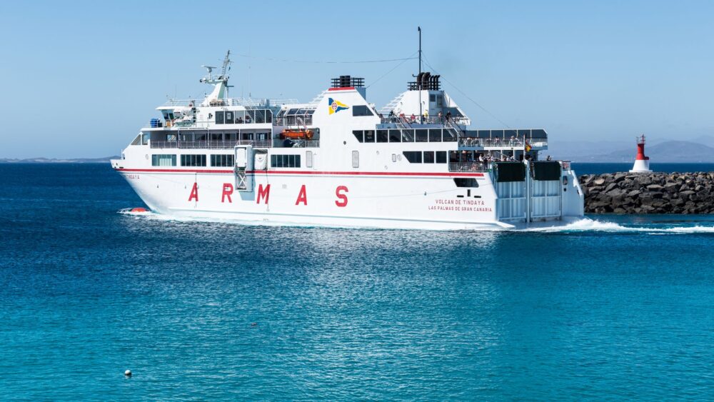
The umbilical cord connecting the archipelago uninterruptedly with the British mainland relies on the ferries of NorthLink Ferries, operated with mixed passenger and roll-on/roll-off cargo vessels. The overnight crossing departing from the port of Aberdeen toward Lerwick lasts approximately twelve hours, cutting through the turbulent waters of the Fair Isle Gap. This route is not a mere tourist journey, but the primary artery through which medical supplies, fresh food, fuel, and heavy machinery flow for the subsistence of Shetland’s roughly twenty-two thousand inhabitants.
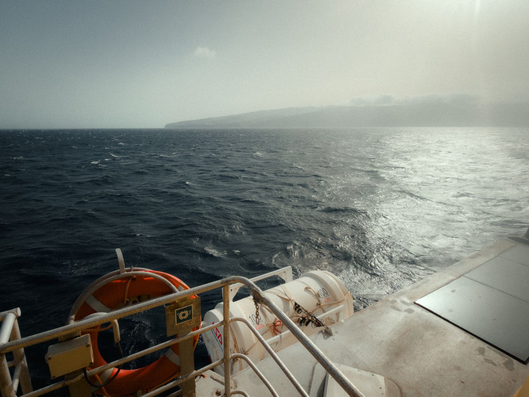
Aboard these vessels, naval engineering places itself at the service of stability through advanced fin stabilization systems that mitigate, to the extent physically possible, the impact of North Sea swells. Nevertheless, the captains of these steel giants acknowledge that the laws of the ocean frequently surpass any technical calculation. Cancellations and delays due to hurricane-force northwesterly winds are a constant during autumn and winter months, forcing logistics operators and passengers to maintain absolute operational flexibility. Each punctual arrival in Lerwick is the result of a careful negotiation between human expertise and the fury of the sea.

Managing Roll-on Cargo and Insular Supply Chains
Supply logistics in an isolated island territory depend on strict synchronization between the heavy-duty trucks traveling along Scottish roads and the holds of the ferries. Articulated vehicles loaded with perishable goods must embark on strict schedules to ensure that local store shelves do not empty. This horizontal loading system streamlines port operations in scales where every minute counts, especially when weather forecasts threaten to close ports for several consecutive days.
The Inter-Island Ferry Network: Connecting Fragmented Lands
Once the main island, known as Mainland, is reached, the transport network fractures into multiple branches managed by the Shetland Islands Council. A fleet of more compact local ferries, popularly known as the inter-island ferries, constantly links Mainland with peripheral enclaves such as Yell, Unst, Fetlar, Whalsay, and the Skerries. These smaller vessels, endowed with exceptional sea-keeping robustness, operate as true floating bridges allowing the daily transit of workers, students, and private vehicles.
The operation of these smaller ferries is conditioned not only by sea states, but by the layout of docking piers, many of them exposed directly to prevailing winds. Approach maneuvers at slipways require extraordinary skill from crews who must contend with shifting tidal currents and strong lateral gusts. Despite the gradual modernization of the fleet with the incorporation of more efficient vessels adapted to reduce emissions, the service continues to depend on close human supervision and intensive technical maintenance due to the aggressive saline marine environment.

Connectivity in Shetland is not a commercial luxury, but a basic right of survival negotiated every dawn against meteorological service forecasts.
Tariff and schedule integration among different operators remains one of the great challenges of insular mobility. Although significant improvements have been made in digitalizing seat reservations, local residents often must plan medical appointments at Lerwick’s Gilbert Bain Hospital weeks in advance, conscious that an unforeseen storm can disrupt any scheduled connection and force an overnight stay away from home.
The Airport System: Sumburgh, Scatsta, and Cliffside Runways
If the sea represents the heavy transport route, the air constitutes the response for corporate, medical, and administrative urgency. Sumburgh Airport, situated at the southern tip of Mainland, channels most commercial traffic of regional jets and turboprops arriving from Edinburgh, Glasgow, Aberdeen, and Kirkwall. The approach to Sumburgh is legendary among commercial pilots due to turbulence induced by surrounding cliffs and the frequent presence of coastal fog, locally known as haar.
Historically, Shetland’s aviation infrastructure has also been closely tied to the energy sector. Scatsta Aerodrome, located in northern Mainland, operated for decades as a fundamental node for transporting workers to the Sullom Voe oil terminal. Although activity at Scatsta has plummeted due to the transformation of the extractive industry and increased offshore operational efficiency, its existence demonstrates the rapid adaptability demanded of the insular economy facing geopolitical and industrial shifts.
Light Aviation and Connection with Smaller Isles
For islets where asphalt runways are unfeasible or passenger volume does not justify regular routes with conventional aircraft, light aviation and helicopters play an irreplaceable subsidiary role. Specialized connections transport laboratory samples, mail, and medical personnel in situations where maritime transport is completely paralyzed by giant waves. This segment of regional aviation operates under extremely strict safety regulations adapted to the unpredictable meteorology of the North Sea.

The Mainland Road Network: Single-Track Roads and Surface Management
On land, terrestrial mobility relies on a road network snaking between peat hills and rugged bays. Much of this arterial network is composed of single-track roads equipped with lateral passing places. These infrastructures demand a distinct driving culture based on courtesy and anticipation, where local drivers skillfully yield to allow the flow of delivery trucks and tourist vehicles.
Maintaining these routes represents a constant financial and technical challenge for local administrations. Continuous freeze-thaw cycles during winter months rapidly destroy asphalt layers, requiring ongoing patching and resurfacing campaigns during the brief boreal summer. Furthermore, sudden snow accumulations and the formation of black ice require the permanent deployment of snowplows equipped with brine systems to prevent the isolation of remote rural communities.
- Intensive maintenance of passing places to ensure smooth crossing of heavy vehicles.
- Strategic deployment of snowplow fleets ahead of early Arctic storm alerts.
- Periodic resurfacing of stretches exposed to marine erosion and constant moisture.
Vertical signage also plays a crucial role, warning of loose livestock on open roads where local sheep graze freely without perimeter fences limiting their access to the asphalt, serving as a constant reminder that the territory primarily belongs to nature and rural tradition.
The Impact of the Energy Transition on Insular Mobility
Over the past decade, Shetland’s transport system has begun undergoing a profound transformation driven by the energy transition. The construction of the massive Viking Energy wind farm and the development of high-voltage subsea interconnectors toward the Scottish mainland have significantly altered heavy traffic flows and logistical infrastructure demand in the ports of Lerwick and Scatsta.

Simultaneously, local authorities are evaluating the progressive electrification of the interior ferry fleet and the upgrading of electric charging points across the Mainland road network. This process is not without technical hurdles; insular power grid limitations and the need to guarantee reliable autonomy under extreme cold conditions complicate the mass adoption of zero-emission vehicles, forcing hybrid solutions balancing environmental sustainability with non-negotiable operational reliability.
Practical Guide
How to Get There: The most direct access to the archipelago is via the overnight ferry service operated by NorthLink Ferries from Aberdeen to Lerwick, or by flying with Loganair via Sumburgh airports from major Scottish cities.
When to Travel: The months from May to August offer the longest daylight hours (known locally as the simmer dim) and the most stable weather conditions for interior navigation and driving secondary roads.

Internal Travel: Exploring smaller islands requires daily consultation of updated schedules for local ferries and booking private vehicle spaces in advance, especially during the peak summer season.
Driving Rules: On single-track roads, always use the passing places situated on your left to allow overtaking or oncoming traffic to pass; never stop in the main lane.
Luggage and Clothing: Always pack high-quality waterproof and windproof clothing regardless of the season, as weather in Shetland can change radically within minutes.
The Human Horizon and the Eternal Beat of the North Sea
At the end of any journey along the routes of this archipelago, what lingers in memory is not the cold precision of schedules or the complexity of naval engineering, but the warmth of communities making this frontier their permanent home. In each mist-shrouded pier and on each airstrip where wind challenges the fuselage, a profound human determination beats. Shetland continues to resist isolation through a fragile yet tenacious balance of transport, reminding us that true connectivity lies not in speed, but in the unwavering capacity to keep human beings united across the vastness of the ocean.