
The Isolated Geography of the Gulf and the Lifeline of External Routes
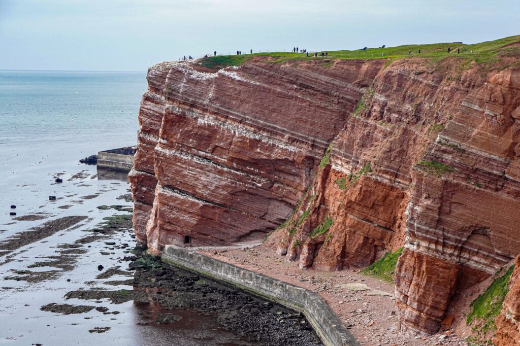
In the wind-sculpted heart of the Gulf of St. Lawrence, the archipelago of the Magdalen Islands stands as a rugged bastion of red sandstone cliffs, sweeping sand dunes, and rolling meadows beaten by relentless marine currents. This profound geographic isolation, situated more than two hundred kilometers from both the Gaspé Peninsula and Newfoundland, turns daily mobility into an ongoing logistical challenge. For residents and the few travelers seeking to understand authentic island dynamics, transport is not merely a tourism amenity, but the vital umbilical cord ensuring the physical, economic, and cultural survival of a community living face-to-face with the open ocean.
The reliance on external transportation routes becomes painfully stark during the winter months, when sea ice chokes traditional maritime channels and transforms the surrounding seascape into a white, inaccessible desert. The regional transport infrastructure must contend with extreme tidal fluctuations, gale-force winds, and frequent snowstorms that paralyze scheduled operations without warning. Grasping this reality requires examining how naval engineering, airport management, and heavy freight logistics converge in an environment where nature relentlessly dictates operational timetables and regional priorities.
The Ocean Fleet and the Permanent Challenge of the Cap-Aux-Meules Ferry
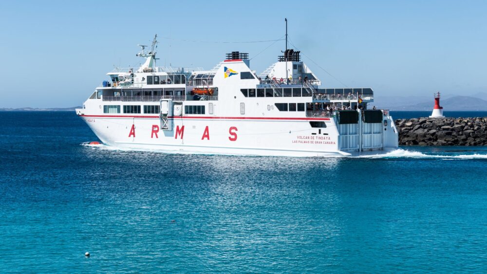
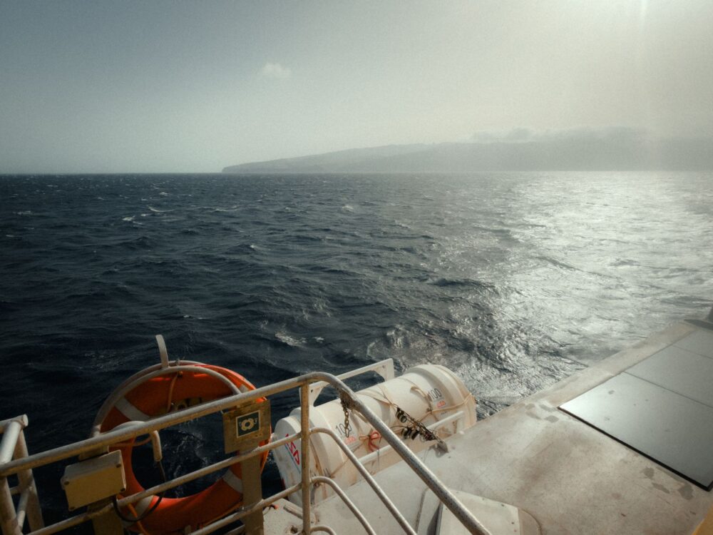
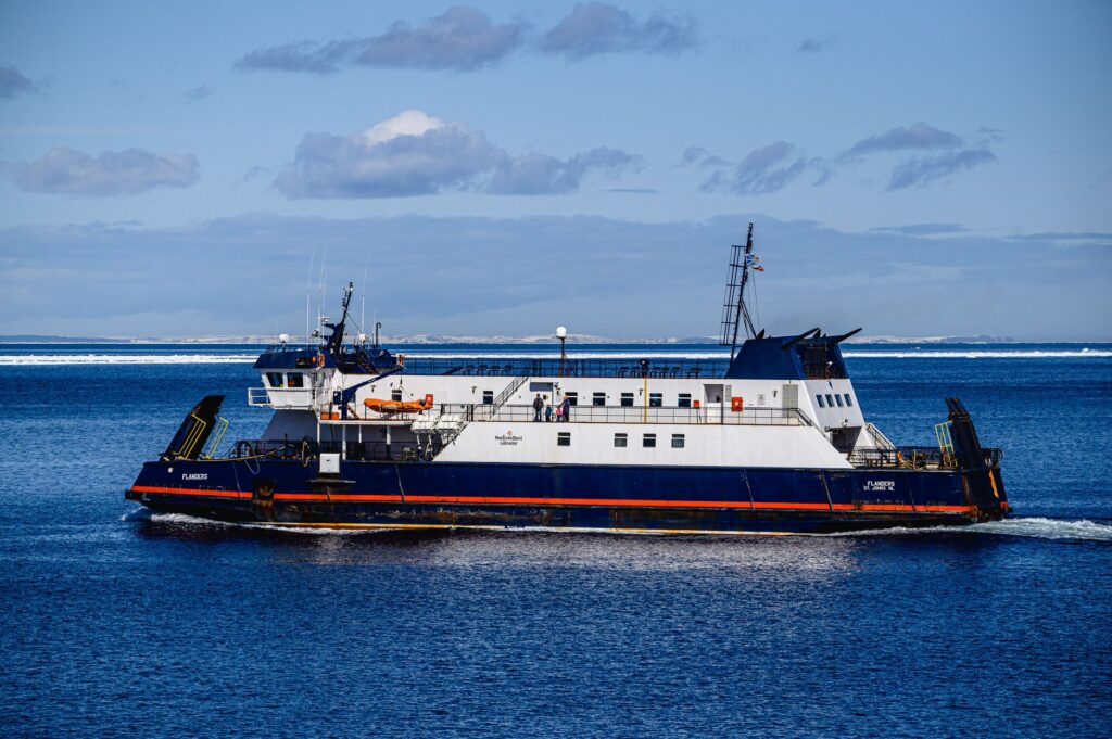
The primary maritime link connecting the islands to the Canadian mainland rests upon the ferry service operated by CTMA, a local cooperative embodying the pride and resilience of the Magdalen islanders. The route linking the port of Cap-aux-Meules to Souris on Prince Edward Island spans an open-water journey of roughly five hours across the volatile Gulf. This is no sheltered pleasure cruise; vessels must be reinforced to withstand punishing Atlantic swells and, during the ice formation season, navigate moderate sub-polar conditions with the crucial backing of the Canadian Coast Guard.
Onboard operations reflect a meticulous logistical choreography blending heavy commercial trucks carrying perishable foodstuffs, private vehicles, and passengers striving to escape or return to their insular sanctuary. The punctuality of this lifeline remains highly vulnerable to fierce northeastern gales known locally as nordets, which can suspend departures for days on end. Such uncertainty forces regional distributors to maintain oversized supply chains and fosters a distinct local culture rooted in patience and strict adaptation to maritime weather whims.
The Aviation Network: Overcoming Isolation Through the Skies
When sea ice freezes solid or severe storms lock down maritime terminals, the Îles de la Madeleine Airport in Étang-du-Nord serves as the sole gateway and escape hatch for medical emergencies, postal mail, and urgent passenger transit. Operated primarily by regional carriers such as Air Canada Express and Pascan Aviation, the airfield features runways engineered to withstand landings under low visibility and severe crosswinds—permanent hallmarks of local meteorology.
Managing this critical aerial node demands exceptional technical precision from air traffic controllers and ground crews alike. Unlike major metropolitan hubs, the margin for error here is razor-thin due to a scarcity of nearby diversion airports during emergency scenarios. Nighttime cargo flights and medical evacuation runs operate under rigorous safety protocols, proving that aviation here is far from a commercial luxury; it is an indispensable public utility preventing the total isolation of the archipelago’s fourteen thousand permanent residents during the harshest weeks of the boreal winter.
Internal Logistics: Highways Across Dunes and the Fragility of the Isthmus
Once ashore, terrestrial mobility relies entirely upon Route 199, a vertebral highway weaving across fragile sand dunes and stone bridges connecting the major inhabited islands such as Havre Aubert, Cap-aux-Meules, and Grande Entrée. This road network is exceptionally vulnerable; storm surges and coastal erosion continually threaten to fracture the sandy isthmuses binding the populated centers together. Quebec’s Ministry of Transport invests continuously in heavy rock armoring and road elevation to prevent the community from fracturing into disconnected slivers of land.
The heavy freight transport supplying local markets and the booming lobster and seafood processing industry depends entirely upon this single terrestrial axis. Any structural damage to bridges or exposed coastal road sections immediately paralyzes internal distribution networks. Consequently, road maintenance in the Magdalen Islands merges traditional civil engineering with advanced environmental monitoring to stay ahead of rising sea levels and autumn tempests.
Freight Logistics and the Seasonal Supply of the Insular Economy
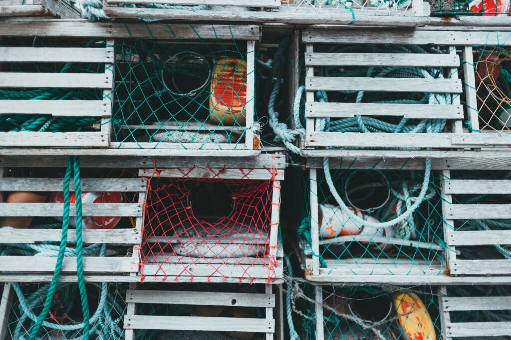
Behind the picturesque postcard imagery of colorful houses and lobster boats lies a complex cargo supply system operating near maximum operational capacity. During the ice-free months when the main port welcomes CTMA general cargo freighters from Montreal and Quebec City, crews unload massive quantities of construction materials, heating fuel, and industrial supplies needed to sustain both winter survival and the summer tourism boom. This severe concentration of activity into compressed weather windows requires flawless synchronization among port cranes, local truckers, and storage warehouses.
Insularity is not measured in miles of distance from the mainland, but in the agonizing hours it takes for a vital mechanical spare part to arrive when essential machinery breaks down in mid-winter.
Logistical costs associated with moving freight across the Gulf of St. Lawrence far exceed continental baselines, directly impacting the local cost of living. The efficient management of this supply chain serves as a fascinating case study in how remote economies survive by plugging into global trade networks via highly specialized maritime choke points.

Transforming Transport During the Summer Tourism Surge
Between June and September, the archipelago’s transport ecosystem undergoes a radical metamorphosis. An influx of recreational visitors arriving in camper vans via the ferry and scheduled flights saturates local infrastructure, forcing authorities to rethink traffic management along narrow island roads. This massive spike in travel demand tests the carrying capacity of the ferry service, where vehicle reservations must be secured many months in advance, turning standby lines into a persistent source of logistical stress for unwary travelers.
Furthermore, adventure tourism and water sports, including kitesurfing and sea kayaking, have spawned new patterns of recreational mobility and specialized equipment transport. Nevertheless, municipal leaders actively promote sustainable tourism models designed to prevent degradation of delicate dune ecosystems, reminding visitors that priority on public thoroughfares belongs to resident commuters and traditional fishing economies.
Practical guide
Planning a trip or an operational journey to the Magdalen Islands demands thorough comprehension of transport constraints and absolute flexibility in travel scheduling.

- Advance Ferry Bookings: The CTMA ferry crossing between Souris (Prince Edward Island) and Cap-aux-Meules must be reserved six to eight months in advance when traveling with a vehicle during peak summer.
- Weather Contingency: Always build a buffer of at least 48 hours into your return itinerary, as wind and rough sea cancellations occur year-round.
- Air Alternatives: During maritime disruptions or emergencies, Air Canada and Pascan connect Étang-du-Nord Airport to Quebec City and Montreal on scheduled routes.
- Car Rentals: Public transport is virtually nonexistent across the islands; renting a car or truck upon arrival at the airport or ferry terminal is essential.
- Roadway Caution: Drive with extreme care along Route 199, particularly across exposed dune sectors prone to drifting sand and storm-surge flooding during high tides.
- Fuel and Supply Logistics: Respect local retail hours and recognize that fuel inventory relies strictly on the arrival schedule of scheduled cargo ships.
- Digital Connectivity: Mobile network coverage is reliable in population hubs but fades rapidly in remote cliff regions and secluded beaches.
The Human Horizon and Resilience Against Atlantic Isolation
The true engine driving the Magdalen Islands transport network is not found solely in the horsepower of diesel engines, aircraft turbine wings, or asphalt highways, but in the unwavering resilience of its people. Every completed crossing through a blinding snowstorm and every cargo delivery executed on schedule represents a quiet victory over the vastness of the North Atlantic. For those who call this isolated outpost home, mobility is never a mere convenience, but tangible proof that isolation can be conquered through community cooperation, rigorous engineering, and profound respect for natural cycles.
Navigating the Gulf in winter teaches that a destination is never a point on a map, but the collective capacity to keep home doors unlocked when the outside world decides to bolt them shut.
At dusk, when the beacons of the Cap-aux-Meules lighthouse sweep across dark waters and the final flight touches down carrying weary passengers, the archipelago rests knowing its invisible intermodal threads have held for yet another day. This fragile yet tenacious connectivity ensures the islands continue to pulse with their own independent rhythm, resisting oblivion and keeping their unique maritime identity alive amid the oceanic expanse.