The northern Atlantic coast of South America, historically known as the Guianas region, represents one of the most challenging and enigmatic coastal environments on the planet for small-craft navigation. Unlike enclosed seas or sheltered coral archipelagos, this marine front is characterized by immense freshwater discharge from major continental river basins, extreme tidal dynamics, and an unbroken wall of impenetrable mangroves that renders land-based approach virtually impossible. Planning a sea kayak traverse along this corridor demands absolute mastery of nautical cartography, a deep understanding of drift currents, and rigorous selection of survival equipment suited for equatorial climates.
The territory stretches from the mouth of the Oyapock River on the Franco-Brazilian border to the marshes of the Essequibo River in western Guyana. Throughout this journey, the traveler enters an ecosystem where land and sea coexist in a state of perpetual transformation. Fine sand beaches alternate without warning with shifting mudflats and clay banks deposited by the Amazon current, demanding millimeter-precise landfall strategy to avoid grounding at the mercy of the rising tide. The absence of traditional marinas requires conceiving the expedition under a framework of total self-sufficiency, where every liter of potable water and every gram of caloric ration must be mathematically calculated before setting off.
Geography of Tidal Channels and Oceanic Dynamics
The backbone of navigation in the Guianas lies in the correct reading of semidiurnal tides, which at certain points along the Surinamese coast exceed three meters in amplitude. These oscillations generate littoral currents that can reach speeds of up to four knots, turning seemingly straightforward stretches into grueling tests of physical endurance. The kayaker must learn to synchronize paddling schedules with favorable tide windows, utilizing incoming flows to ascend estuaries or ebbs to seek open sea without being swept offshore toward submerged sandbars.
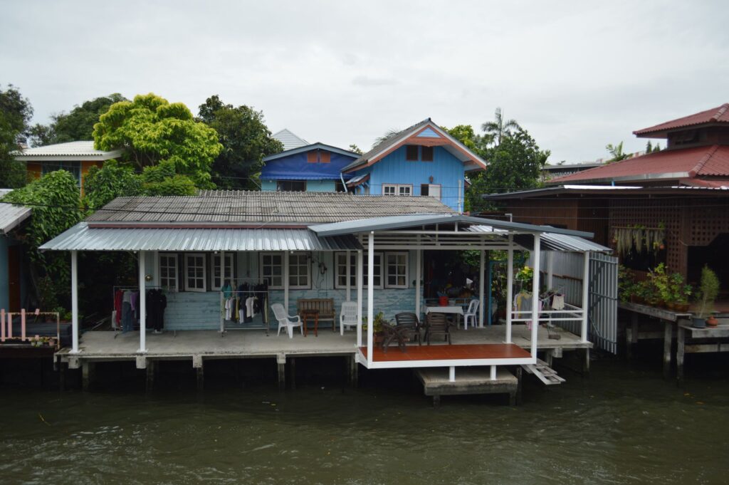
The mangroves lining the coast are not mere geographical features, but living barriers of immense biological complexity. During high tide, stilt roots submerge, allowing boat passage through secondary channels known locally as creeks; during low tide, water recedes drastically, exposing a grey, sticky mud platform that precludes safe landing. Studying updated bathymetric charts and specific tide tables for French Guiana, Suriname, and Guyana is the sole reliable method for plotting a route that avoids stranding risks or violent wave impacts against mud banks.

Equatorial Meteorology and Trade Wind Regimes
The regional climate is dominated by the intertropical convergence zone and northeast trade winds, blowing with greatest intensity between December and April. These winds raise a short, steep, and highly energetic swell, commonly known as cross-chop sea, caused by the interaction between surface winds and tidal currents. Tropical electrical storms, though brief, develop with astonishing speed, reducing visibility to mere meters and necessitating the use of satellite positioning devices and waterproof hand-held compasses.
The wet season, spanning from May to November, introduces a critical variable: constant freshwater discharge reduces the surface salinity of the sea and alters boat buoyancy, while multiplying physical effort required to maintain heading due to turbulence generated by river outflows emptying into the Atlantic. Navigation during this era requires vessels equipped with compartmentalized watertight bulkheads and double-spraydeck systems to prevent massive water entry in the event of a capstone under heavy surf conditions.
Autonomy Logistics and Supply in Isolated Environments
Resupplying provisions and fresh water along this coastline is a complex task due to the low population density of the coastal strip and the lack of commercial infrastructure across many intermediate stretches. Support points are reduced to small Creole fishing settlements, coastal Amerindian communities, and scattered border control posts. For this reason, the sea kayak must be configured with optimized cargo hatches capable of housing water reserves guaranteeing at least three liters per person daily, complemented by portable reverse-osmosis filtration systems and purification tablets to treat dark estuary water.

Nutrition must rely on high-calorie dehydrated rations, supplemented by long-preservation local products such as cassava bread and dried fish acquired from riverside communities. Organic and inorganic waste management is an absolute priority in an area of extreme ecological fragility; all non-biodegradable material must be carried in dry bags to authorized exit points in Cayenne, Paramaribo, or Georgetown.
Vessel Selection and Safety Equipment
To confront the conditions of the Guianas, floating gear must meet oceanic expedition standards. Touring kayaks with lengths exceeding 5.1 meters are recommended, manufactured from high-strength composite materials or high-density polyethylene capable of withstanding impacts against floating logs and submerged rocks. The inclusion of an adjustable depth rudder or a retractable skeg is indispensable for maintaining course under intense crosswind conditions.
Hull and stability: Designs with moderate hard chines and generous bow volume to prevent plunging in following seas.
Communication systems: Broadband marine VHF radio, EPIRB emergency position-indicating radiobeacon, and bidirectional satellite communicators.
Technical apparel: High UPF sun protection clothing, neoprene gloves to prevent friction blisters from continuous paddling, and a buoyancy aid with an integrated rescue harness.
Daily gear maintenance in high-salinity and tropical humidity environments requires a strict freshwater rinsing routine for zippers, hardware, and rudder mechanisms at the end of each paddling day.
Life in Mangrove Campsites
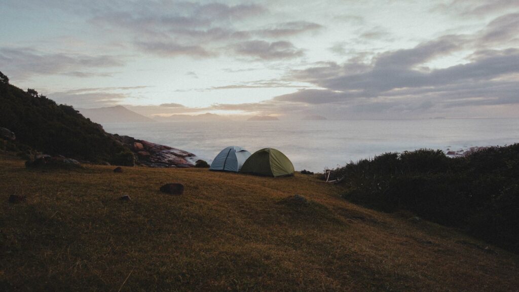
As the sun begins to dip below the equatorial horizon, finding a suitable campsite becomes the operational priority of the crew. Unlike expeditions on rocky shores, improvising camp on tidal mudflats in the Guianas coastal zone is strictly prohibited due to nocturnal flooding and the presence of native wildlife such as caimans and freshwater stingrays. Dry sand platforms located at river mouths or the few elevated pile-built structures constructed by local fishermen are the only viable enclaves to pitch tents equipped with fine anti-mosquito mesh.
Camp setup requires elevated suspension systems or high-density sleeping pads to isolate the ground from persistent moisture and vectors of tropical diseases. Campfires must be built using selected dry wood and completely extinguished using saltwater to prevent hidden embers from lingering in the sand and reigniting with nocturnal winds.
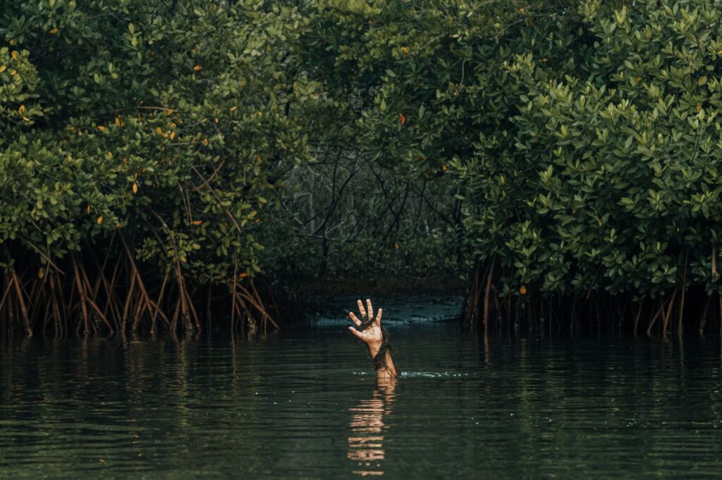
The silence of the mangrove at night is not an absence of sound, but a complex matrix of biological pulses where the tide dictates the rhythm of existence and the traveler comprehends their absolute insignificance before the scale of the American continent.
Nocturnal fauna includes a rich variety of wading birds, jaguars that occasionally patrol the low-tide strip in search of prey, and a dense population of fishing bats skimming the water surface in search of food, offering a natural spectacle of incalculable aesthetic value to the expeditionary.
Practical guide
Documentation and Visas: The traverse crosses three distinct jurisdictions. French Guiana requires a Schengen visa or compliance with overseas entry requirements of the French Republic; Suriname requires prior acquisition of an Electronic Visa (E-Visa); and Guyana requests a passport with a minimum validity of six months and specific visas depending on the traveler’s nationality.
Best Season for the Expedition: The period between August and November presents the lowest rainfall indices and moderate trade winds, facilitating coastal progress, though demanding heightened attention to freshwater reserve management due to precipitation scarcity.
Access Logistics: The most common start and end points are located in Saint-Georges-de-l’Oyapock (French Guiana), Paramaribo (Suriname), and Georgetown (Guyana). Transport of kayaks to the coast must be coordinated with local river freight operators or through chartered, adapted four-wheel-drive vehicles.
Navigation Permits: It is mandatory to notify traverse plans and planned route coordinates to the maritime authorities and harbormasters of each territory, as well as hold repatriation and remote rescue insurance that explicitly covers offshore nautical activities.
Emotional Epilogue: The Pulse of the Ocean and the Traveler
After weeks of paddling parallel to a coastline where the Amazonian jungle seems poised to devour the sea, the expeditionary’s perspective undergoes a profound transformation. Constant physical effort, the iron discipline of tide schedules, and intimate coexistence with wild nature strip the journey of any trace of superficiality. Contemplating the final sunset over the turbid waters of the South American Atlantic, reflected in the salty hull of the kayak, one accepts that the true wealth of the traverse lies not in having conquered a hostile territory, but in having learned to listen to the ancestral heartbeat of a littoral that refuses to submit to human pretensions, reminding us of the fragile and beautiful condition of being mere spectators in the grand theater of Earth.