
Introduction to the Territory and Its Connectivity Challenge
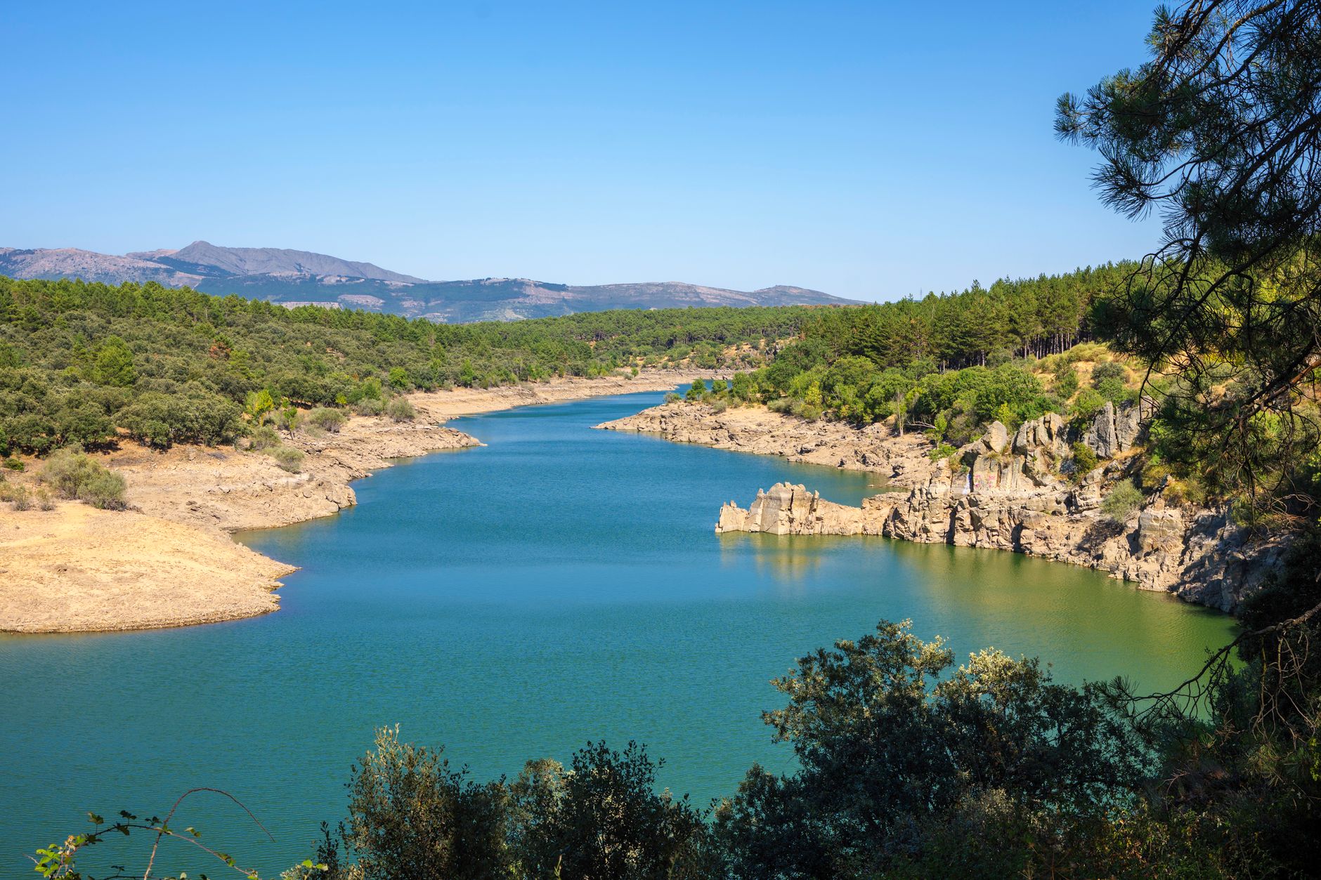
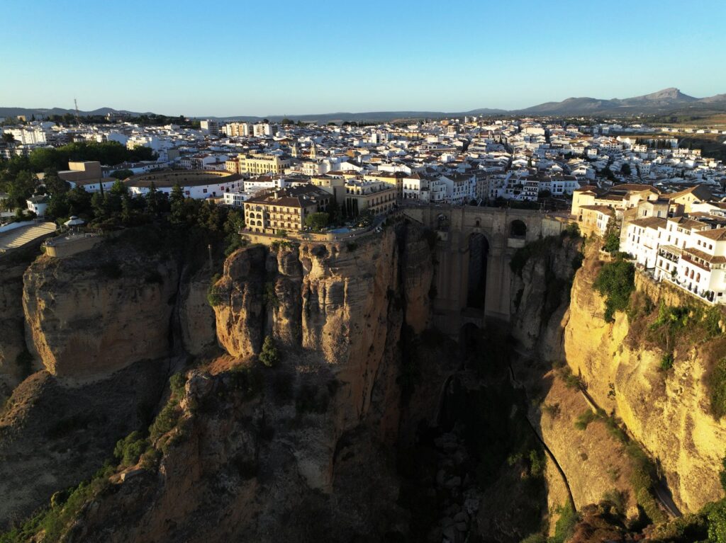
The Alto Tajo Natural Park, located in the eastern sector of Guadalajara province and northeastern Cuenca, represents one of the most complex ecological strongholds in the Iberian Peninsula. This vast territory, sculpted over millions of years by the erosive action of the Tagus River and its tributaries, forms a labyrinth of deep gorges, limestone plateaus, and dense pine forests that have historically conditioned the lives and movements of its inhabitants. Unlike other protected enclaves with easy access, the rugged topography and demographic dispersion have turned mobility into a daily challenge for both residents and the few travelers seeking to explore its landscapes with a respectful gaze.
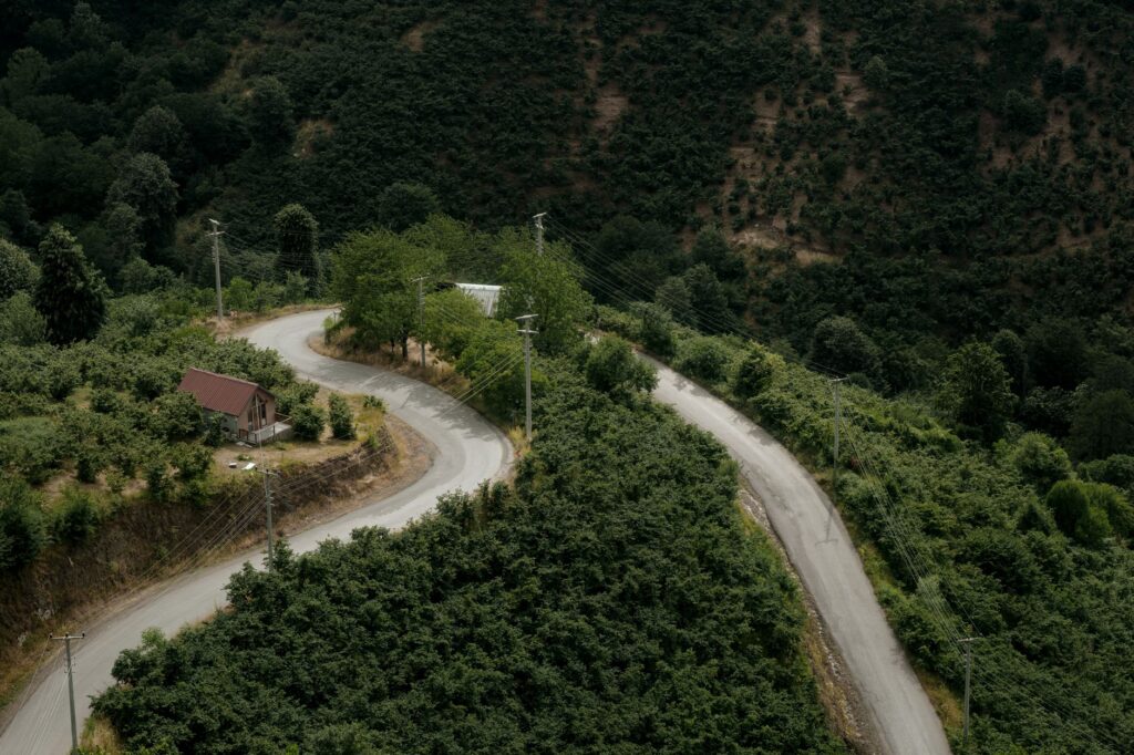
In recent years, the region has faced a silent yet profound transformation. The need to curb rural isolation while protecting a fragile ecosystem against the pressure of summer tourism has driven a new paradigm of connectivity. Far from opting for major road infrastructure that fragments the habitat, local institutions, municipalities in the Molina de Aragón region, and various neighborhood associations have woven a strategy based on demand-responsive transport, the recovery of old livestock trails, and the integration of low-intensity electric vehicle fleets to connect rural villages with the main points of natural interest.
The Recovery of Historical Paths as Axes of Soft Mobility
For centuries, the economic and social survival of the Alto Tajo villages depended on an intricate network of paths, bridleways, and livestock routes connecting high plateaus with river valleys. With the advent of motorized transport in the mid-20th century, much of this ancestral infrastructure fell into oblivion, buried by vegetation or fragmented by low-quality paved forestry tracks. Today, an ambitious heritage recovery project is restoring these routes to their original function, adapting them to 21st-century demands as soft mobility arteries for hikers, cyclists, and local residents.
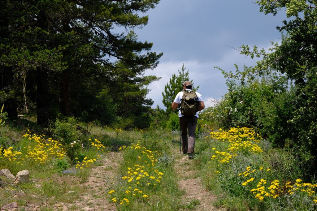
This recovery effort responds not only to tourism criteria but to an integrated vision of spatial planning. By establishing safe, signposted routes that bypass main roads, the strategy encourages a respectful form of travel that drastically reduces visitors’ carbon footprint. Rural town councils, in collaboration with specialized forestry brigades, have cleared dozens of kilometers of ancient pathways linking villages such as Peralejos de las Truchas, Taravilla, or Beteta. The restoration of these layouts demonstrates that historical heritage can become the most sustainable and efficient transport infrastructure for low-density rural territories.
The Role of Electric Microbuses and Demand-Responsive Transport
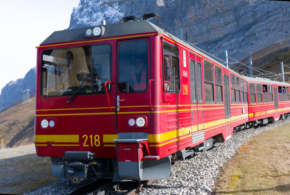
Population dispersion and demographic aging in the region made maintaining regular conventional bus lines with profitable frequencies unviable. To address this structural shortcoming without compromising decarbonization goals, the regional administration, in coordination with the park’s municipalities, has implemented a pioneering demand-responsive transport service combined with extended-range electric microbus fleets. This system allows neighbors and visitors to book trips via mobile applications or centralized phone calls, optimizing routes according to the real needs of the day.
The impact of this measure goes beyond simple logistical convenience. By centralizing travel in zero-emission vehicles adapted to winding county roads, the transit of private cars during weekends and summer months has decreased markedly. Charging points, powered mostly by small local solar installations distributed across old municipal silos and warehouses, guarantee the system’s energy self-sufficiency. Rural mobility ceases to be a factor of social exclusion and transforms into a replicable model of efficient public resource management in protected areas.

True connectivity in a protected natural environment is not measured by the speed at which one crosses the territory, but by the ability to integrate into its rhythm without altering the fragile balance of its communities.
Vernacular Architecture and Welcome Centers Integrated into the Transport Network
The transition toward a sustainable transport model in Alto Tajo has been accompanied by deep reflection on visitor reception and the location of information infrastructure. Traditionally, the park’s interpretation centers were isolated, demanding the mandatory use of private cars to reach them. In response, the regional strategy has reoriented these spaces, integrating them directly into modal exchange nodes and the urban centers of deeply rooted villages such as Zaorejas or Orea.
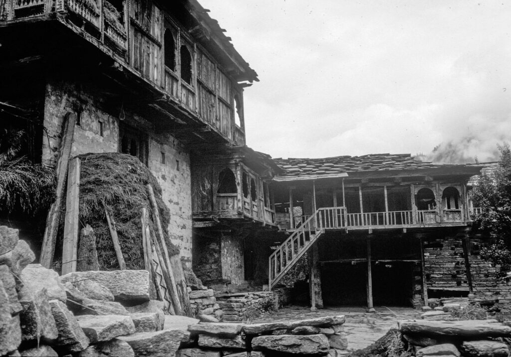
This decentralization of information points encourages travelers to arrive in the villages, leave their vehicles in peripheral park-and-ride lots, and begin their exploration on foot, by bicycle, or using local public transport. Traditional miera stone houses and communal livestock yards have been rehabilitated using bioclimatic criteria to house tourism offices, electric bicycle rental points, and rest areas. Thus, traditional architecture becomes an active part of the mobility experience, offering visitors a direct immersion into the construction culture of the mountain range.
Forestry Craftsmanship and Circular Economy as Engines of the Local Network
The maintenance of soft transport infrastructure and the park’s environmental management would be unviable without the direct involvement of local inhabitants, whose economy has historically been linked to sustainable forestry and extensive livestock farming. Today, local cooperatives play a fundamental role in trail maintenance, preventive mountain cleaning, and the management of clean points associated with transport routes. This local economic revitalization generates stable employment and anchors population in municipalities that have suffered persistent rural exodus for decades.
Likewise, the region’s agri-food products —such as Alcarria honey with a designation of origin, artisanal cheeses, and native meats— are now distributed through collaborative logistics channels that leverage demand-responsive microbus routes to supply small local shops and area restaurants. This circular economy model minimizes unnecessary freight transport and reinforces the link between what is consumed in the territory and what is produced there, closing a cycle of comprehensive sustainability.
Pending Challenges: Digital Connectivity and Generational Turnover
Despite significant progress in sustainable transport and territorial cohesion, the Alto Tajo Natural Park faces complex structural challenges that test the continuity of its model. One of the main obstacles lies in deficiencies in digital connectivity and mobile phone coverage in certain deep valleys and river gorges. This technological gap hinders real-time management of the demand-responsive transport system and limits travelers’ access to updated information on routes, access restrictions, and electric microbus schedules.
Alongside the technological challenge, generational turnover in traditional activities and the management of new green infrastructure is a constant concern for town councils. Retaining youth in the region requires not only an effective transport network connecting them to health and educational services in regional hubs, but also stable job opportunities linked to ecotourism and environmental conservation. Local administrations insist that consolidating the sustainable mobility model must be accompanied by fiscal and housing incentives ensuring a viable future for those who choose to live and work in this demanding natural environment.
Practical guide
How to get there: The main access to the Alto Tajo Natural Park is by road from Madrid or Guadalajara via the A-2 highway to Medinaceli or Sigüenza, continuing afterward along secondary roads like the CM-2015 toward Molina de Aragón and the interior valleys. The use of peripheral starting points is strongly recommended to reduce congestion in areas of highest ecological value.
Internal transport and sustainable mobility: The demand-responsive transport service promoted by the region’s municipalities operates via prior telephone or digital booking at least twenty-four hours in advance. Electric microbuses connect major towns and hiking route starting points during weekends and the summer season.
When to travel: Spring months (May and June) and autumn (October and November) offer the most favorable weather conditions for exploration on foot or by bicycle, avoiding high summer temperatures and the elevated risk of forest fires.
Accommodation and services: Accommodation primarily consists of traditional rural houses and small guesthouses integrated into the region’s sustainable tourism network. Advance booking is advisable, especially during long weekends and holiday periods, to ensure the availability of tailored services.
The Refuge of Fluvial Memory and the Pulse of Time
As evening falls, when the golden twilight begins to slide down the vertical limestone walls and the murmur of the Tagus River becomes the sole perceptible sound in the valley, the true dimension of this territory reveals itself in all its depth. This is not simply a preserved landscape, but a living space where the daily decisions of its people —from reserving a shared microbus to the patient maintenance of an ancestral path— weave an invisible yet indestructible web of mutual respect. Here, slowness ceases to be an obstacle and becomes a privilege, a tangible reminder that the planet’s most valuable places demand to be traversed with attention, step by step, in rigorous harmony with the earth’s ancient heartbeat.