
Terrain and Topography in Long Bien
Located on the eastern bank of the Red River, the district of Long Bien in Hanoi offers a unique transition between the urban bustle of the Vietnamese capital and the agricultural plains stretching northward. At an average elevation of just ten meters above sea level, this territory features a predominantly flat topography crossed by centuries-old dikes, irrigation canals, and alluvial farming plots known locally as river gardens. For hikers and long-distance walking enthusiasts, this geographical layout presents a distinct challenge: the apparent accessibility of the paths contrasts with the complexity of a muddy, humid terrain that changes consistency drastically depending on seasonal rainfall patterns.
Topographic analysis of the area shows that most of the relief is shaped by the historical accumulation of fluvial sediments. The trails running alongside flood-protection embankments serve as main arteries for pedestrian and bicycle traffic, connecting dense residential hubs with intensive farming zones. Far from high mountains, the difficulty here lies not in cumulative elevation gain, but in maintaining pace and orientation under conditions of high solar radiation and persistent humidity. Each stretch requires understanding that alluvial soil does not tolerate heavy foot traffic without erosion, turning route planning into an exercise in topographic respect and substrate conservation.
Monsoon Climate and Thermal Management
The climate of this region in Vietnam is defined by the tropical monsoon, dividing the year into two distinct seasons. Understanding this meteorological pattern is essential for any walking expedition. Between May and October, temperatures frequently exceed thirty-five degrees Celsius, accompanied by relative humidity levels hovering around or above eighty percent. These conditions generate significant thermal stress for the human body, increasing the risk of rapid dehydration and heat exhaustion if strict fluid intake and shaded rest protocols are not followed. Afternoon downpours, often torrential, can instantly turn dirt paths into slippery surfaces and hinder safe advancement.
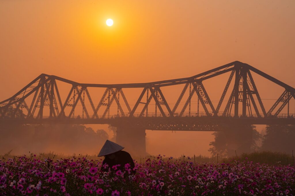
Conversely, the dry season spanning from November to April offers more moderate temperatures and skies frequently covered by a characteristic morning mist rolling over the delta. However, the absence of rain does not eliminate the need for rigorous preparation; northeast winds can bring dense fog episodes that reduce visibility in open fields and alter distance perception across vast agricultural expanses. Walkers must equip themselves with quick-drying breathable technical clothing, broad-spectrum sun protection, and reliable hydration systems ensuring a constant supply of mineral salts during prolonged marching days.
Physical Preparation and Walking Demands
Although the district features no steep summits or alpine grades, prolonged walking over irregular and muddy surfaces requires a solid foundation of cardiovascular endurance and lower-body strength. Long Bien’s peri-urban trails subject joints to repetitive strain due to uneven ground, where loose gravel, exposed roots, and ruts left by agricultural machinery demand high ankle stability. Travelers are advised to perform preparatory training focused on proprioception and walks of at least fifteen kilometers over mixed terrain before tackling local routes.
Physical exertion is intensified by environmental factors. Walking under the combined influence of high temperature and saturated air humidity raises the average heart rate compared to similar distances in temperate climates. For this reason, planning must incorporate fragmented days, prioritizing early morning hours when solar radiation is less aggressive and the atmosphere retains a light breeze from the main river channel. Listening to bodily signals and adjusting advancement pace is the only viable strategy to prevent overload injuries or heat stroke in this environment.
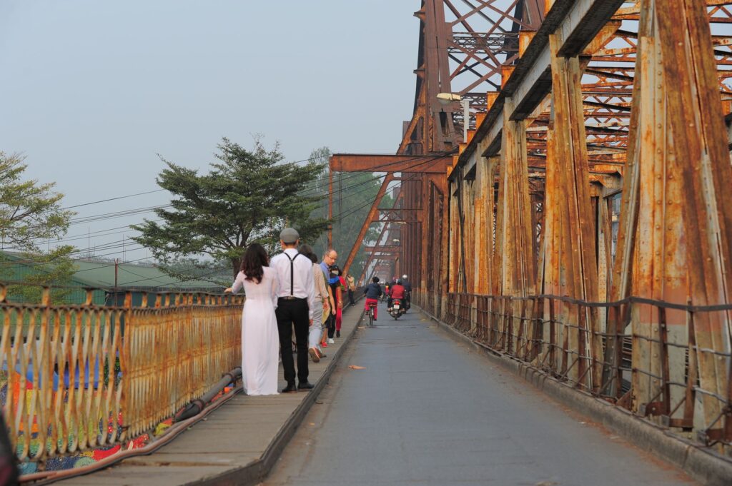
True exploration on foot in the delta seeks not the conquest of peaks, but the subtle comprehension of a landscape shaped by water, sediment, and constant human effort.
Safety on River and Peri-Urban Routes
Safety during a walk through Long Bien encompasses both prevention against natural hazards and respectful coexistence with local infrastructure and road traffic crossing the dikes. Paths running along flood defenses are frequently shared with motorcycles, tractors, and light cargo vehicles, compelling pedestrians to remain highly attentive and stay on designated shoulders. Likewise, during the Red River flood season, water levels can approach dangerously close to the lower elevations of riverside paths, strictly discouraging any approach to flood-prone zones or unstable slopes.
Another critical safety aspect is navigation. Although the river acts as an unmistakable western visual reference, the network of secondary paths winding between orchards and small villages can be labyrinthine. Carrying offline navigation devices or detailed maps is imperative, as mobile phone coverage can fluctuate in areas of dense vegetation. Sticking to official itineraries or traditional neighborhood transit routes prevents incursions into private property and drastically reduces the risk of getting lost or encountering local fauna, primarily guard dogs in rural zones.
Cultural Heritage and Historical Architecture
Walking through this territory reveals an architectural and cultural heritage deeply tied to Hanoi’s agricultural history. Among the most prominent features are ancient village temples, known as dình, which dot rural settlements and preserve carved wooden structures featuring traditional motifs from past centuries. These constructions are not mere static monuments, but focal points of community life where locals celebrate seasonal rituals connected to land fertility and protection against river floods.
Beyond temples, the cultural landscape is marked by sluice and dike systems bearing witness to centuries of traditional hydraulic engineering adapted to the delta’s regime. Observing the layout of traditional dwellings, built with lightweight materials and adapted to withstand monsoon winds, offers travelers an unparalleled anthropological perspective. Each step along these paths unveils harmonious coexistence between ancestral rice-cultivation memory and the gradual expansion of contemporary urban sprawl, enriching the hiking experience with deep historical background.

Sustainability and Minimum Impact on the Trail
Incipient tourism growth in Hanoi’s peripheral areas imposes strict responsibility on visitors regarding environmental sustainability. The minimum impact principle must guide every step within Long Bien’s fragile alluvial ecosystems, where plastic waste accumulation poses a direct threat to soil quality and irrigation channels. Excursionists hold a moral and practical obligation to carry out all their refuse, avoiding single-use plastics and utilizing reusable canteens filled with pre-purified water.
Similarly, respecting private property and local farming practices is fundamental to ensuring peaceful coexistence between residents and travelers. Damaging crops, crossing planted fields outside established paths, or collecting plant samples and fruits without authorization is strictly prohibited. Rural communities deeply value discretion and silence; maintaining a moderate volume when passing through villages and asking permission before photographing individuals or sacred spaces constitutes a basic rule of courtesy and travel ethics that preserves the destination’s authenticity.
The conscious traveler understands that their passage through the trail must be as ephemeral and clean as the footprint of water upon fertile earth.
Practical guide
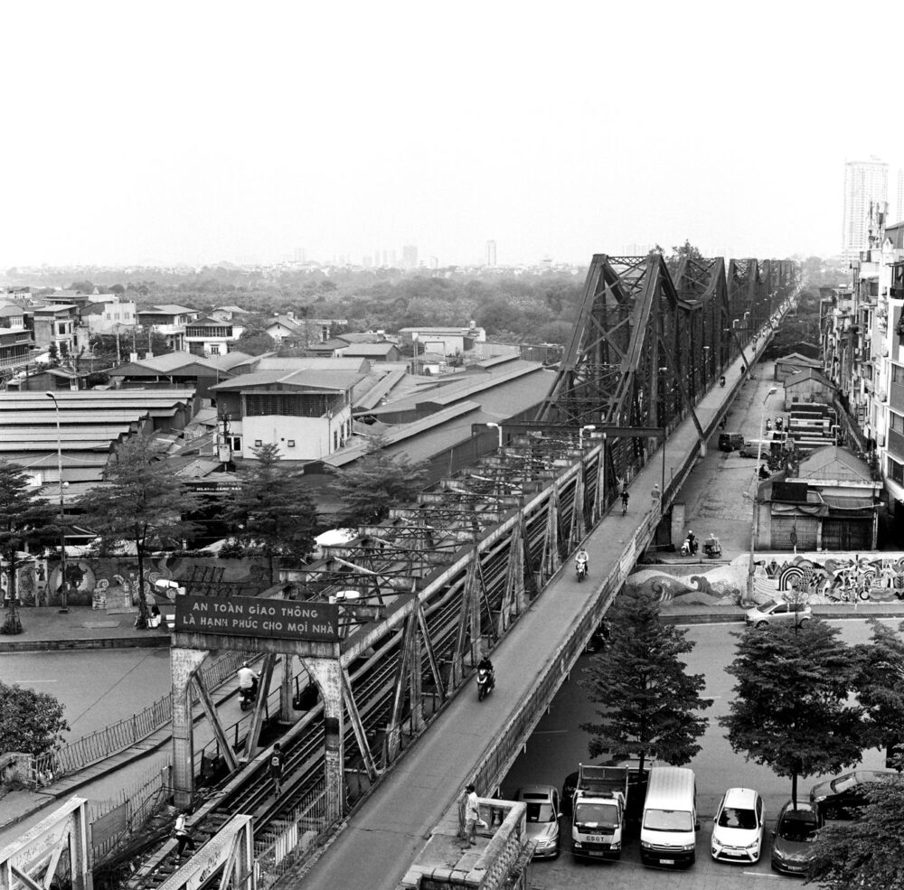
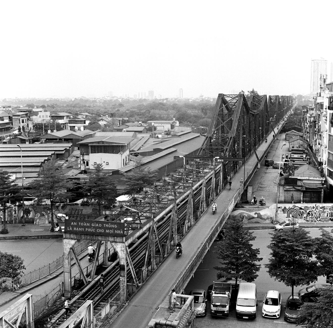
How to get there: Access to the district from central Hanoi is efficiently achieved via historic and modern bridges crossing the Red River, such as Long Bien Bridge or Chuong Duong Bridge, using public buses or two-wheeled vehicles.
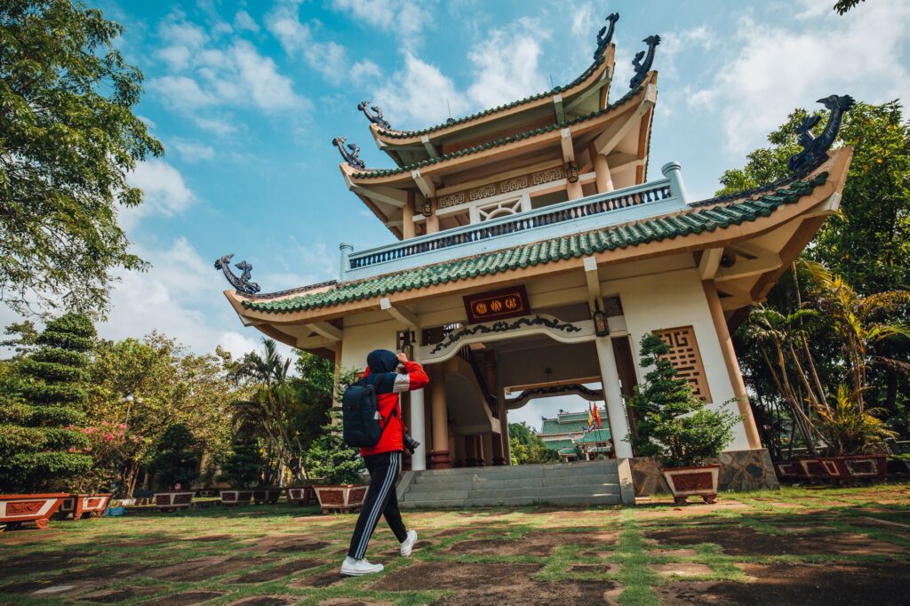
When to go: The most favorable season for hiking comprises the dry and cool months from November to February, avoiding the peak heat and extreme humidity of the monsoon summer.
Permits and access: No special permits are required to walk along public dikes and neighborhood paths, though access to certain agricultural conservation areas or private properties remains restricted.
Recommended gear: Hiking footwear with slip-resistant soles for muddy terrain, long-sleeved breathable technical clothing for sun and insect protection, wide-brimmed hats, and isotonic hydration systems.
Health and safety: Effective insect repellent, high-index sunscreen, a basic blister-care first aid kit, and constant caution when sharing dike roadways with motorcycle traffic are indispensable.
Visual Reflection and Journey Conclusion
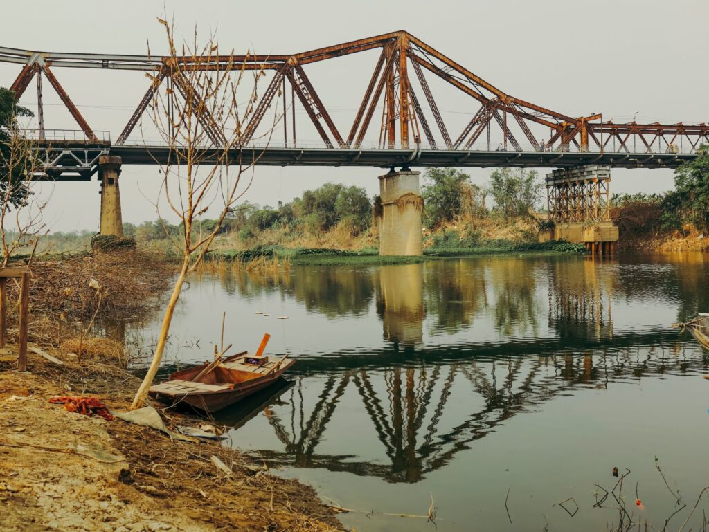
As evening falls, golden sunset light reflects in the turbid waters of the Red River and bathes farming fields in a warm hue that completely transforms the landscape. In that moment of calm, when the bustle of the great metropolis fades beyond the river horizon, dirt paths reclaim their secular silence. Observing this sunset from the safety of Long Bien’s dikes invites profound reflection on nature’s resilience and human capacity to dwell in balance with a dynamic and shifting environment, concluding a demanding yet extraordinarily rewarding journey.