
Topography as the Architect of Daily Movement in Álvaro Obregón
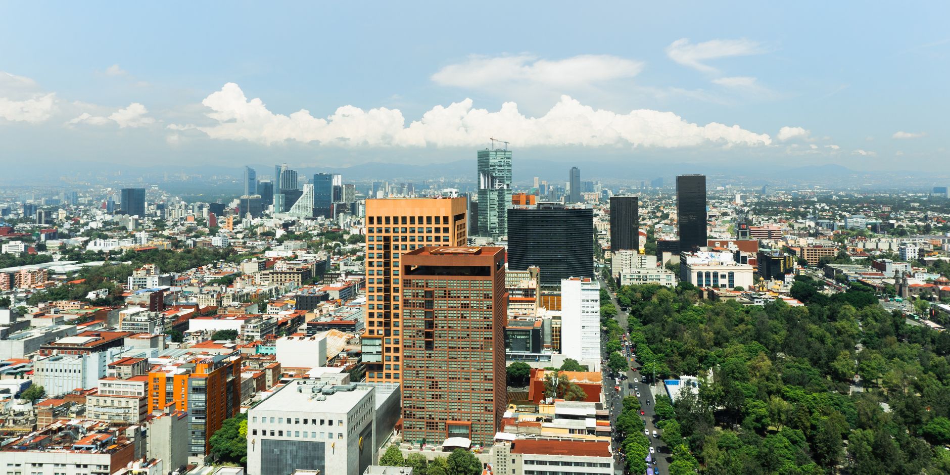
Located in the western sector of the Mexican capital, the territorial borough of Álvaro Obregón rises across a landscape where urban flatness nearly disappears, giving way to rolling hills, deep ravines, and constant elevation changes. At an altitude hovering around 2,300 meters above sea level, this part of Mexico builds its daily routine upon a demanding geography that shapes every journey. The streets descending from the upper elevations toward the primary thoroughfares are not mere communication paths, but vital arteries where the history of ancient indigenous settlements converges with the dynamic pulse of a modern metropolis. Here, the daily transit of thousands of people relies not just on technical efficiency, but on a constant negotiation between the natural slope of the land and the need to connect traditional neighborhoods with economic hubs.
Transportation within this borough cannot be fully understood without observing how urban buses, concessioned transit units, and private vehicles contend with narrow streets and sharp turns. Microbuses and vans act as a capillary network penetrating alleyways where larger vehicles simply cannot maneuver. This daily deployment requires drivers and passengers to maintain constant synchronization, with travel times varying drastically depending on the time of day and traffic conditions. Geographic altitude thus becomes a decisive factor influencing both engine performance and the physical effort required of pedestrians walking from transit stops to their homes perched on the hillsides.
Understanding mobility in this corner of Mexico means looking beyond the usual traffic congestion and recognizing the heritage value of the roads that historically linked Mexico City with the agricultural and religious settlements of the south. Ancient rural trails have transformed into busy avenues, yet they retain winding layouts that remind travelers of a landscape once shaped by water runoff and wooded slopes. Residents have adapted their routines to this terrain, establishing makeshift stops at strategic points where the slope momentarily flattens, allowing passengers to board and alight safely.
From Ancient San Ángel to Contemporary Arteries
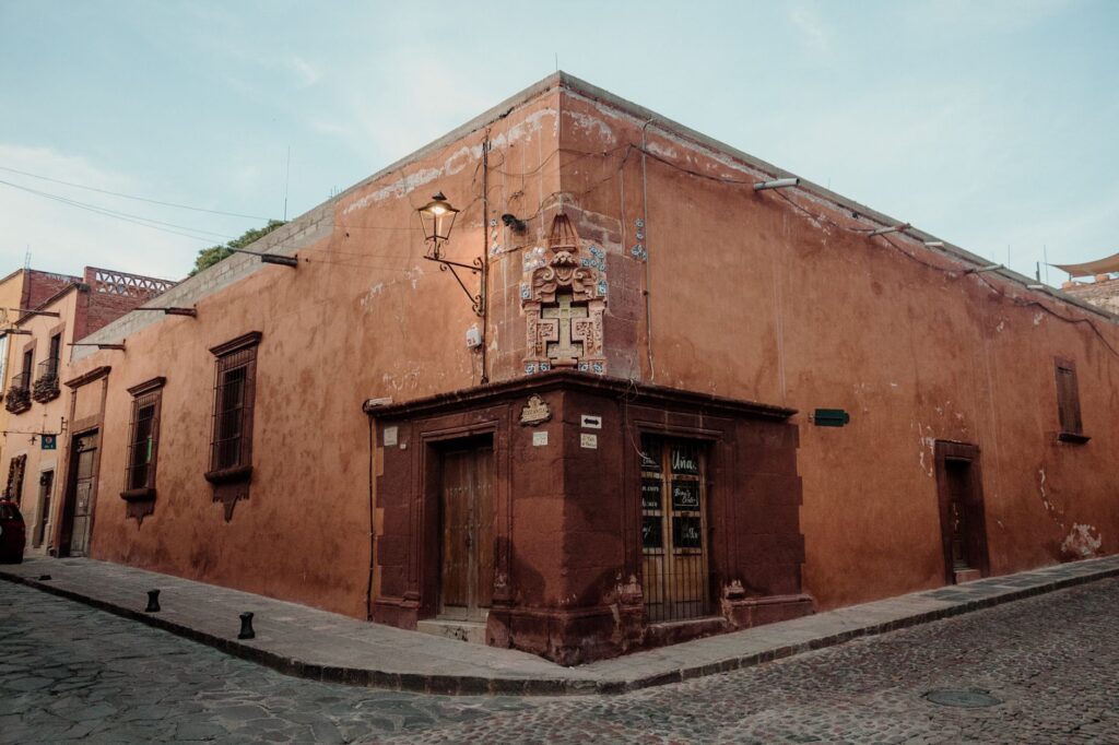
The historical memory of Álvaro Obregón is deeply intertwined with San Ángel, an enclave of cobblestone streets, colonial mansions, and tree-lined plazas that coexists with twenty-first-century dynamism. Traversing these stone-paved lanes requires an enforced pause—a reminder that contemporary speed must negotiate with architectural and cultural heritage. The public transit routes skirting this historic zone act as temporal bridges between the viceregal past and contemporary urban expansion, allowing residents and visitors alike to access traditional markets, church yards, and cultural centers without disrupting the human scale of the neighborhood.
As one moves away from the historic core and ascends toward the higher residential and working-class neighborhoods, the urban landscape transforms radically. Large commercial avenues give way to secondary streets where vehicular flow narrows and collective transport becomes the backbone of mobility. Along these routes, passengers share space with local merchants using light vehicles to supply neighborhood markets, generating a unique synergy where the street functions simultaneously as a transit corridor and a site of social and economic exchange.
The integration of these routes with the capital’s mass transit system occurs through strategic nodes situated at the borough’s boundaries. From there, thousands of workers and students begin their commutes toward the center or neighboring districts every dawn. This daily transfer reflects the interdependence of a territory that, despite its rugged topography, functions as an indispensable gear within Mexico’s vast metropolitan network, maintaining a delicate balance between local identity and transit vocation.
Daily Life Aboard Collective Transport
Boarding a route bus in Álvaro Obregón is an immersion into a social experience where shared space dissolves distances between neighbors. Inside these vehicles, the daily commute transforms into a microcosm of Mexican urban life, intersecting conversations about weather, living costs, and daily events. The drivers, true experts in navigating tight curves and steep grades, steer with a precision honed through years of traversing the same routes, anticipating potholes and sudden shifts in traffic density.
blockquote>Daily transport along the hillsides of Mexico is not merely a matter of physical displacement, but the invisible fabric that sustains the community and allows each neighborhood to maintain its vital pulse against the challenges of the terrain.

For residents who depend on these routes, punctuality is a flexible concept adjusted to the contingencies of public roads. Authorized and unofficial stops form part of an implicit code of conduct between users and drivers, facilitating boarding where sidewalks vanish or grow too narrow. This dynamic fosters a specific form of neighborhood solidarity, where passengers frequently notify one another of upcoming stops or help organize the interior space when the vehicle fills during morning peak hours.
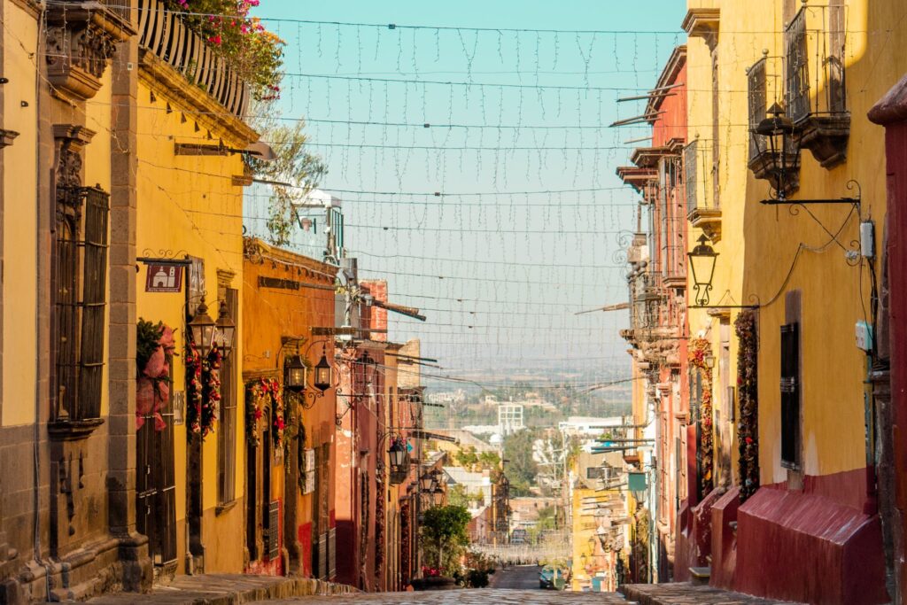
Likewise, walking remains an inescapable component of this mobility network. Many inhabitants complement their public transit journeys by walking along steep stairwells and pedestrian alleyways winding between homes. These pedestrian routes, often adorned with potted plants on front patios and colorful facades, offer unique vistas of the valley and consolidate a network of local paths that bypass official maps while firmly sustaining the community’s daily life.
Heritage, Culture, and Responsible Travel Decisions
Visitors who venture into Álvaro Obregón with a mindful perspective discover a territory where cultural and natural heritage deserves to be explored through responsible mobility choices. Rather than burdening secondary streets with rental or single-occupancy vehicles, opting for integrated public transit, walking through San Ángel’s pedestrian zones, or utilizing shared services along major avenues reduces environmental pressure on the ravines and respects the borough’s fragile urban dynamics.
Respecting the environment also means understanding peak congestion hours to avoid unnecessary travel during rush times, allowing local workers smoother daily commutes. Walking through historic plazas, visiting local markets via established routes, and patronizing neighborhood businesses are practices that foster a circular economy and minimize the visitor’s ecological footprint in this part of Mexico.
blockquote>Exploring the routes and neighborhoods of Álvaro Obregón responsibly means recognizing that every movement directly impacts the quality of life of those who inhabit these hillsides and safeguard their historical heritage.
Local authorities and civic groups have promoted initiatives to signpost pedestrian routes and improve safety at complex intersections, ensuring walking remains a viable and safe alternative for short distances. These actions revalue public space and remind us that the well-being of a mountainous territory depends as much on road infrastructure as on the respectful attitude of those who travel and live within it day by day.
Practical guide
How to get there: Álvaro Obregón is accessible from various points in Mexico City via the metro transit network (lines connecting to the borough limits), bus rapid transit corridors, and an extensive network of buses and thoroughfares connecting with the metropolitan center and south.

When to travel: The weather is temperate most of the year, though it is advisable to avoid morning and evening peak traffic hours (7:00 to 9:30 AM and 6:00 to 8:30 PM) to optimize travel times and enjoy a smoother journey.
Local mobility: To move between historic zones like San Ángel and higher hillside neighborhoods, combine local concessioned buses with guided walks using updated pedestrian maps and prudent use of ride-hailing services on major avenues.
Local respect tips: Respect narrow pedestrian spaces, yield the right of way on stairwells in upper neighborhoods, and support local commerce in traditional markets and small neighborhood cafes to contribute to the community’s economy.