
Callao is usually associated with the port, the airport and the dense urban fabric around the bay. Yet within its administrative boundaries and immediate surroundings lies a set of ridges, islands and slopes that function as a coastal mountain of low elevation but enormous ecological value. Reading that landscape requires looking beyond the asphalt.
This report offers a geological, ecological and practical reading of that territory in Peru: what shapes it, what inhabits it, when to approach it and how to do so without compromising fragile ecosystems. It is not a climbing guide or a list of viewpoints, but a tool for interpreting a place that changes with moisture, wind and season.
A relief born of ocean and desert
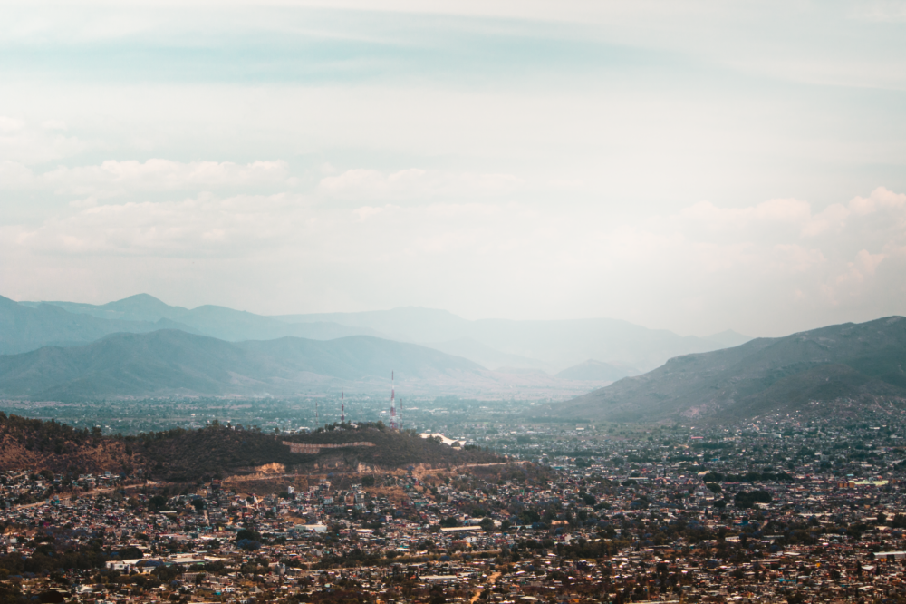
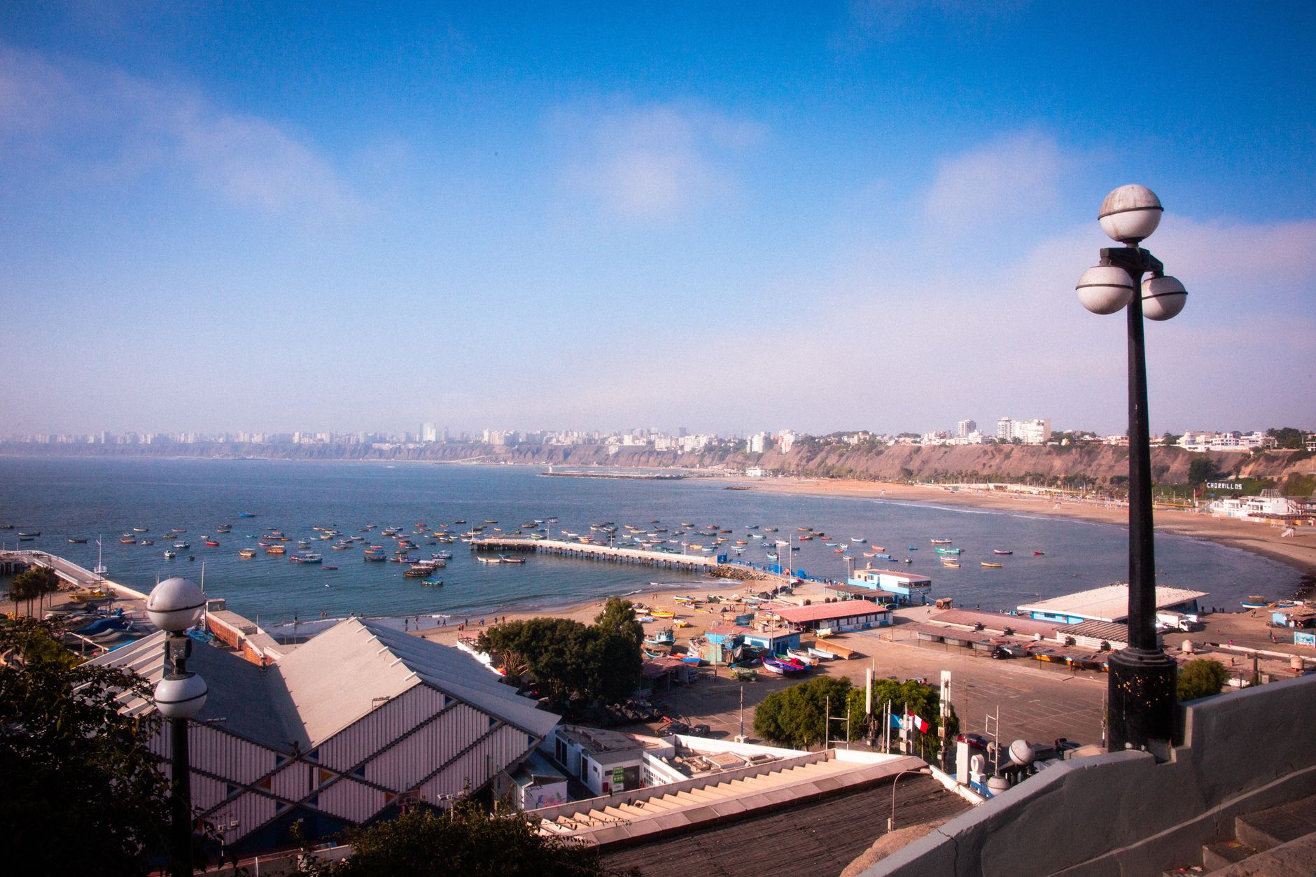
Peru’s central coast is organised around a relief of hills and foothills descending towards the Pacific. Callao occupies a hinge position: to the west, the sea; to the east, the first Andean foothills; between them, a densely occupied coastal plain. That transition explains much of its character.
Geologically, the central Peruvian coast belongs to a setting where the oceanic plate has long interacted with the continental margin, producing a coastline of terraces, low cliffs and residual hills. Much of the ground beneath the city is recent sediment, transported by rivers and reworked by the sea, while the higher ground is older rock that resisted erosion. That contrast between soft fill and resistant rock helps explain why some slopes remained empty for decades while others were occupied almost immediately.
Coastal lomas are plant formations that depend on atmospheric moisture. During the cloudier months, marine fog condenses on the slopes and allows grasses and shrubs to develop that, in the dry season, seem to vanish. They are not permanent landscapes but cycles: what is visible in August bears little resemblance to February.
The islands off Callao, such as San Lorenzo and El Frontón, add an insular dimension to the ensemble. Their cliffs, pebble beaches and wind-eroded surfaces host seabird colonies and constitute a natural heritage rarely mentioned when the city is discussed.
Low-altitude ecosystems: lomas, wetlands and ravines
Speaking of mountains in Callao may seem excessive if one thinks of great summits. But the category of high-altitude ecosystems depends not only on metres: it depends on gradient, microclimate and ecological function. The slopes around the bay fulfil that role.
Three types of environment alternate there. First, lomas with seasonal vegetation. Second, coastal wetlands and lagoons where fresh and brackish water mix. Third, dry ravines that act as corridors between the shoreline and higher ground. Each has its own calendar.
- Lomas: depend on fog moisture; their best moment usually coincides with the cloudiest months.
- Wetlands: concentrate resident and migratory birds; their condition varies with the water cycle.
- Ravines: zones of passage and refuge; their value is more functional than scenic.
These environments are often small and fragmented, which makes them especially vulnerable. A patch of loma the size of a city block can hold a surprising variety of invertebrates, and a single wetland can concentrate dozens of bird species during migration. For that reason, the ecological value of the Callao coastline is not measured by extension but by the role each fragment plays within a much larger system.
The calendar of fog and dry season
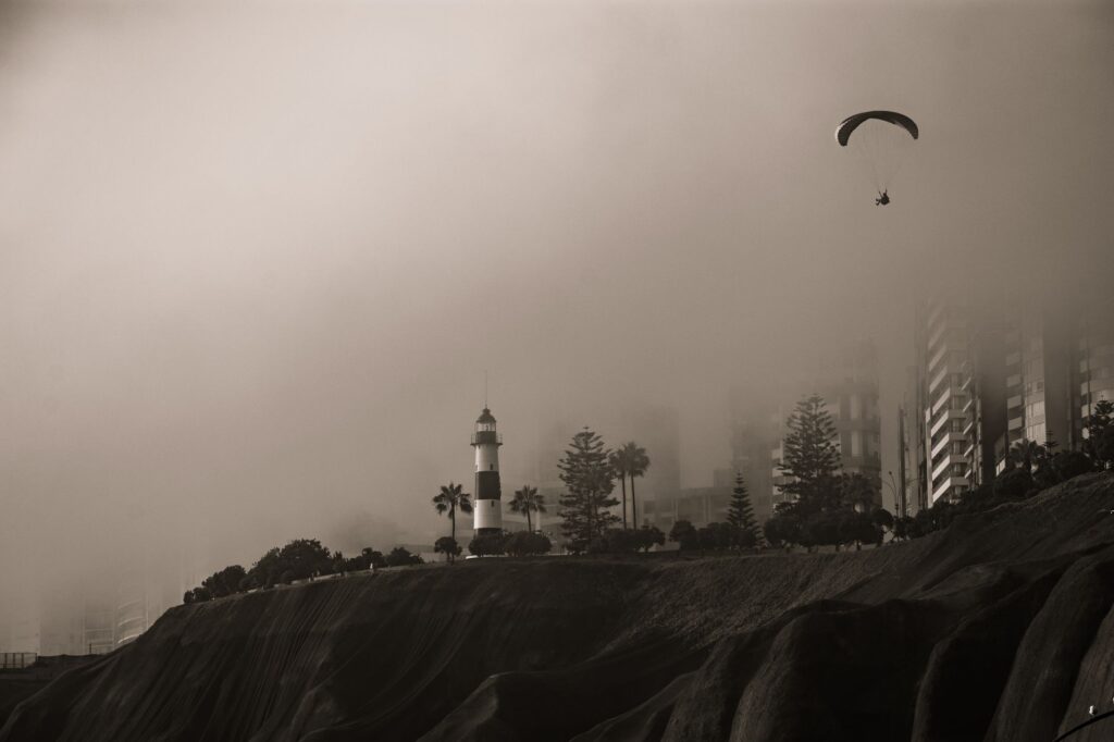
Peru’s central coast has two main moments. From roughly May to November, a layer of low cloud frequently covers the shoreline and reduces solar radiation. That moisture sustains loma vegetation and softens temperatures. In the remaining months, clear skies and greater insolation completely change how the landscape reads.
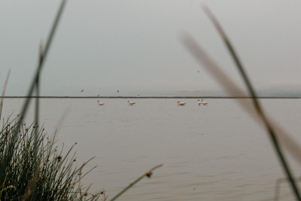
This pattern is linked to the behaviour of the ocean and the atmosphere over the eastern Pacific. Cold water near the coast favours the formation of low cloud, while the stability of the air above it keeps rain away. The result is a desert coast that nevertheless receives water in the form of fog, a phenomenon that has shaped both the vegetation and the way people have historically used the land.
For those visiting with a naturalist interest, the relative wet season offers better conditions for observing vegetation and the birds associated with it. The dry season, by contrast, is more suitable for walking ravines and viewpoints with good visibility. No season is better in the abstract: it depends on what one wants to see.
Callao’s coastal mountain is not measured in metres but in its capacity to sustain life on very little water.
What the attentive observer notices
The fauna of these environments is discreet. Seabirds, herons, cormorants and species associated with wetlands appear regularly in transition zones. On the lomas, life concentrates in invertebrates, reptiles and small mammals, alongside birdlife that exploits seasonal vegetation.
Responsible observation means distance, silence and patience. It is not about getting the closest image but about understanding patterns. A field notebook, binoculars and the willingness to see nothing for an hour are more useful tools than any automatic identification app.
It also helps to think in terms of traces rather than sightings. Footprints in soft ground, feathers, burrows, the way vegetation is browsed or trampled: all of it tells a story about what uses the territory and when. Learning to read those signs turns a walk into a slow exercise in attention, and it reduces the temptation to disturb animals in order to confirm their presence.
Heritage: fortresses, port and the memory of territory
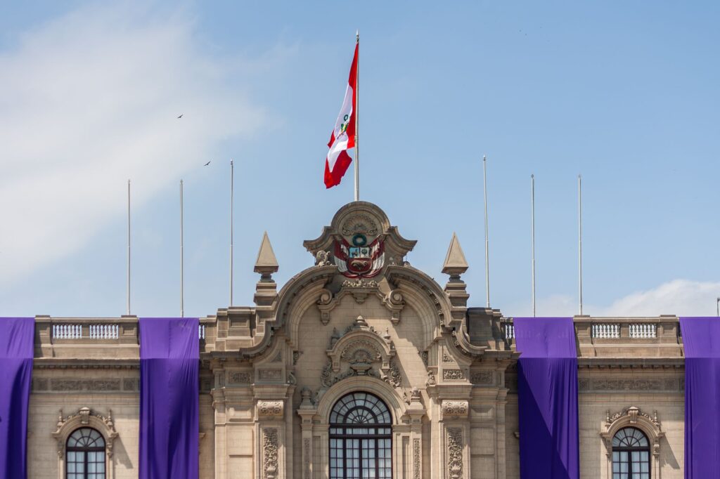
Callao is also a historical territory. The Real Felipe fortress, built in the eighteenth century, is one of the great testimonies of viceregal military architecture in South America. Its presence recalls that the bay was for centuries a strategic point of trade and defence.
That heritage is not a backdrop: it conditions how urban space is organised and explains why certain slopes remained less occupied. Visiting Callao with both natural and historical interest is, in fact, the same operation: understanding how relief and sea have ordered people’s lives.
The port itself, one of the most important on the Pacific coast of South America, has shaped the city’s identity and its relationship with the sea. Maritime activity, fishing and the movement of goods are part of a continuity that goes back centuries, and they coexist with the natural spaces described here in ways that are not always harmonious but are always instructive.
Safety and judgement in an urban-coastal setting
Callao is a densely populated jurisdiction with marked internal contrasts. Any itinerary should be planned with up-to-date information on accessible areas and current conditions. Improvising routes or entering areas without reference is not advisable.

For outings to lomas, ravines or islands, it is advisable to go with established operators, local guides and clear return times. Exposure to sun, humidity and wind requires adequate protection even on cloudy days. And it is worth remembering that most of these environments are not prepared for mass use.
Coastal weather deserves particular attention. Fog can reduce visibility quickly, wind on exposed ridges is stronger than in the city, and the difference between low tide and high tide changes access to some shorelines. Checking forecasts, telling someone where you are going and carrying a charged phone are simple measures that make a real difference on short outings.
Conservation: what is protected and what is lost
The coastal lomas and wetlands of Callao face well-known pressures: urban expansion, infilling of wet areas, waste and unregulated traffic. Conservation depends not only on designations but on the capacity of institutions and communities to maintain uses compatible with wildlife.
In that context, the visitor has a limited but real role. Not leaving waste, staying on established trails, not feeding animals and not collecting plants are minimum gestures. The rest is support for local conservation initiatives and respect for the decisions of those who manage the territory.
It is also useful to understand that conservation in a coastal city is rarely a matter of separating people from nature. More often it is about negotiating uses: which paths are open, which seasons are critical, which areas need quiet. Visitors who respect those negotiations make the work of managers easier and help ensure that access remains possible for others.
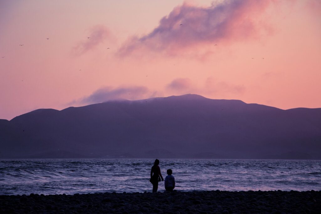
Visiting Callao’s coastal mountain means accepting that one arrives as a guest, not as the protagonist.
Practical guide
When to go
The cloudiest season, roughly May to November, favours observation of lomas and seasonal vegetation. Clear-sky months are better for viewpoints and routes with wide visibility. Check conditions before each outing.
Getting around
Callao connects to Lima via public transport and main roads. To reach peripheral natural areas or island jetties, the safest option is to hire formal services and confirm schedules. Improvising journeys in areas without reference is not recommended.
What to bring
- Sun protection and enough water.
- Closed footwear and clothing suited to wind and humidity.
- Binoculars and a field notebook if the interest is naturalist.
- A bag to carry out your own waste.
What to avoid
- Entering wetlands or lomas without a guide or authorisation where required.
- Feeding or chasing wildlife.
- Collecting plants or rocks.
- Leaving established trails.
Closing: a mountain seen from the water
At the end of the day, from a jetty or a low hill, Callao shows its double condition: port city and natural territory. Birds return to their roosts, the fog lifts or settles, and the relief reminds us that the coastal mountain is not a distant stage set but the very ground on which urban life has been built.
Walking it with judgement does not require great expeditions. It requires information, prudence and a willingness to look without intervening. In a place where water is scarce and fog sustains ephemeral forests, that restraint is the most honest way to travel.