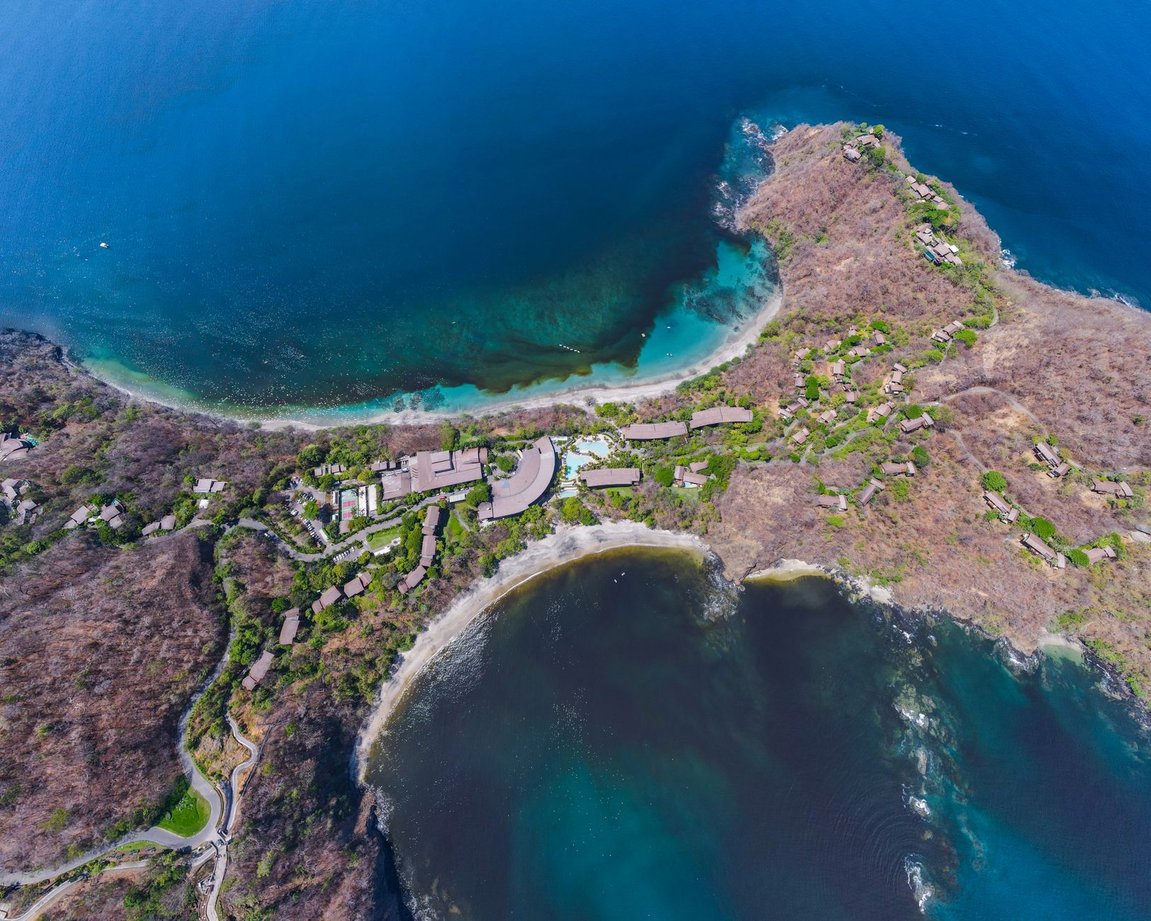

Northwestern Costa Rica holds a landscape that surprises those expecting a rainforest: hills covered with trees that shed their leaves, lagoons that fill with the first rains, and a coastline where the Pacific pounds long beaches. This is the Guanacaste Conservation Area, inscribed on the World Heritage List in 1999 and extended in 2004 with the addition of Santa Elena, a 15,000-hectare private property. Travelers do not find a theme park here, but a mosaic of ecosystems that demands planning and, above all, respect.
The region covers 147,000 hectares of land and sea, with about 104,000 terrestrial hectares stretching from the Pacific coast to the foothills of the Guanacaste Range. Within that gradient, dry forests, cloud forests, wetlands, savannahs, and a highly productive marine front coexist. A well-prepared visit becomes a lesson in conservation and a journey through one of Central America’s most singular landscapes.
A forest that was not always like this
For centuries, this area was exploited opportunistically: forests were cleared for pasture, timber was extracted, and hunting was uncontrolled. However, poor soils, an erratic climate, and geographic isolation set natural limits to land conversion. That circumstance allowed the tropical dry forest, today one of the most threatened ecosystems on the planet, to find an extensive and continuous refuge here.
The formal conservation history begins in 1971, when Santa Rosa National Park was created. Over time, other parks, a wildlife refuge, and an experimental forest station were added. Most of the territory is state-owned, except for a corridor managed by a parastatal foundation. The management unit operates under the Ministry of Environment and Energy, with technical, local, and regional councils participating in oversight.
What makes this history unusual is its scale. The protected complex did not emerge from a single decree but from a long process of land acquisition, boundary adjustments, and scientific research. Researchers have used the area as a living laboratory to understand how tropical dry forests regenerate after decades of grazing and logging. Their findings have informed restoration practices far beyond Costa Rica, turning Guanacaste into a reference point for dry forest ecology in the Neotropics.
The restoration of the dry forest was not a spontaneous act: it resulted from decades of decisions, land purchases, and ecological patience.
What a well-planned visit can reveal
The Guanacaste Conservation Area comprises several sectors with different access and characteristics. Santa Rosa, in the lowlands, combines beaches, historical trails, and dry forest at various stages of recovery. Rincón de la Vieja, inland, offers a volcanic landscape with craters, lagoons, and a network of trails ascending through humid forest and open areas. Further north, sectors such as Junquillal and Santa Elena allow visitors to observe the transition between dry and cloud forest.

Wildlife is abundant, though not always visible. More than 900 vertebrate species have been confirmed, including the endangered Central American tapir, several felids such as the jaguar, margay, jaguarundi, and ocelot, and at least 40 bat species. Notable birds include the great green macaw, the great curassow, and the mangrove hummingbird. Reptiles include the American crocodile and the spectacled caiman, and sea turtles such as the leatherback and olive ridley nest on the beaches.
The dry forest itself is a character in the story. Unlike rainforest, which stays green year-round, the dry forest changes dramatically with the seasons. During the dry months, many trees drop their leaves to conserve water, exposing branches and making wildlife easier to spot. When the rains return, the same trees leaf out again with remarkable speed. This cycle of dormancy and renewal is one of the reasons the ecosystem is so fascinating to observe over multiple visits.
The dry season sets the pace
Climate conditions any visit. Between December and April, the dry season brings hot, dusty days with very little rain. Trees lose their leaves and the landscape turns ochre, making it easier to spot birds and mammals at water sources. From May to November, the green season brings frequent rains, slippery trails, and an explosion of vegetation and life. Each season offers a different experience, but both demand preparation.
Light, neutral-colored clothing, closed shoes with good grip, a hat, sunscreen, and insect repellent are essentials. Carry enough water, as not all sectors have supply points. During the rainy months, a light rain jacket and a backpack cover prevent surprises. Heat and humidity can be intense, so walking early and avoiding the central hours of the day is recommended.
It is also worth remembering that weather patterns can vary from year to year. Local conditions in one sector may differ from another, especially between coastal lowlands and higher elevations. Checking forecasts and asking park staff about current trail conditions before setting out is a simple habit that prevents discomfort and reduces risk.

Trails, guides, and rules that matter
Access to many sectors requires prior reservation and, in several cases, hiring a local guide. Park rangers and guides know wildlife activity schedules, less-traveled routes, and safety measures. Walking off authorized trails is not only dangerous but can damage recovering vegetation. The rule is simple: leave no trash, do not feed animals, do not collect plants, and take nothing natural away.
Wildlife observation requires patience and silence. The best moments are usually dawn and the last hours of the afternoon, when animals move. Binoculars and a camera with a telephoto lens, if available, enhance the experience. In coastal areas, such as turtle nesting beaches, visits are organized in small groups with strict rules to avoid interfering with egg-laying.
Guides also provide context that a casual walker would miss. They can point out plant species used traditionally, explain how forest recovery is monitored, and interpret animal tracks and calls. For visitors unfamiliar with tropical ecosystems, a guided walk often transforms a pleasant hike into a deeper understanding of why this place was recognized globally.
The value of a well-preserved dry forest
Tropical dry forest is a global conservation priority, often overlooked compared to rainforest. In Central America, most remnants are fragmented. Guanacaste preserves one of the finest examples of continuous, well-protected dry forest, from Central America to northern Mexico. That continuity allows complex ecological processes: species migration, genetic exchange, and adaptation to changing conditions.
The property also includes a highly important coastal-marine front. Cold, nutrient-rich upwelling currents foster high marine productivity, with coral reefs, algal beds, estuaries, mangroves, and sandy and cobble beaches. Protecting this whole is key to the reproduction of marine species and the resilience of the entire system.
Conservation here is not only about protecting what remains but also about allowing what was lost to return. The natural regeneration of previously degraded areas demonstrates that with enough space, time, and protection, ecosystems can recover. This is a hopeful message in a region where many dry forests survive only as isolated patches.
Traveling here is not just seeing landscapes: it is understanding that conservation works when communities, scientists, and institutions sustain the effort over time.
Accessibility and trip preparation
Reaching Guanacaste is relatively straightforward. Daniel Oduber International Airport in Liberia connects the region with several cities in the Americas and Europe. From there, the conservation area’s sectors are reached by road, though final stretches may be gravel and require a high-clearance vehicle. There are also connections from San José, with journeys of several hours.
Accommodation infrastructure varies: from hotels in nearby towns to more rustic options near the parks. Not all sectors have full services, so it is best to gather information before departing. Entrance fees, schedules, and guide availability change by season and sector; the recommendation is to consult official sources before traveling and not rely on outdated data.
Travelers with reduced mobility should plan carefully. Some sectors have visitor centers and short trails that may be more accessible, while others involve uneven terrain and long walks. Contacting park administration in advance is the best way to identify suitable options and avoid disappointment. Similarly, families with young children should choose shorter routes and carry supplies for changing conditions.
Practical guide
- Best time: December to April for wildlife at water sources; May to November for green landscapes, with frequent rains.
- What to bring: closed shoes, light clothing, hat, sunscreen, insect repellent, water, and a light rain jacket during the rainy season.
- Reservations: some sectors require guided entry and have limited capacity; always check official channels.
- Safety: do not leave the trails, do not feed animals, and follow ranger instructions.
- Accessibility: roads can be uneven; if you have reduced mobility, verify conditions for each sector.
A closing among trees and memory
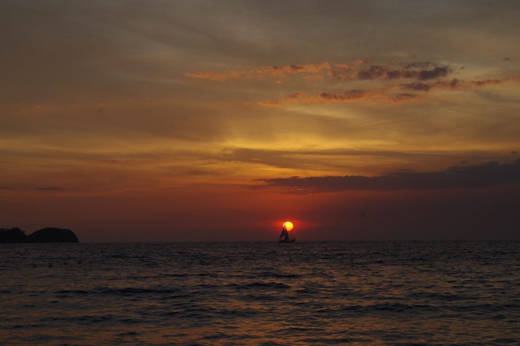
At the end of the day, as the sun sets over the hills and the forest recovers its rhythm, there remains the feeling of having crossed a landscape saved by sustained decisions. The Guanacaste Conservation Area is not a quick-stop destination: it is a place to walk slowly, listen, and understand that conservation is collective work. Those who visit with respect take away more than photographs: a clearer idea of what it means to protect a unique ecosystem in the world.