Amsterdam is best understood when mobility is treated not as a chore but as a way of inhabiting the city. In the Netherlands, planning everyday transport is part of urban culture: journeys are thought through, combined and adjusted to weather, distance and available time. For visitors, adopting that logic from day one transforms the experience.
This guide does not propose a fixed route or a tourist itinerary, but a method for organising movement around Amsterdam with judgement: what transport modes exist, how they complement one another, what to prepare before setting out, and how to move safely and calmly through a city where bicycles, trams and ferries share space with pedestrians.
A city designed on a human scale
Amsterdam is neither vast nor vertical. Its historic centre, articulated by canals and narrow streets, favours short journeys and slow mobility. Walking is often the most efficient option for distances under twenty minutes, and also the most rewarding: it reveals courtyards, markets and facades that go unnoticed from public transport.
The city is organised into neighbourhoods with distinct characters — Oud-Zuid, De Pijp, Jordaan, Oost, Noord — each with its own rhythm. Understanding that structure helps with planning: the aim is not to cross the city from end to end every day, but to group activities by area and let transport handle the longer hops.

In Amsterdam, everyday mobility is not about going fast but about choosing the right mode at the right moment.
The bicycle: the city’s operating system
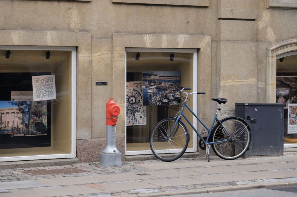
In the Netherlands, the bicycle is not a tourist accessory or a leisure activity but the main vehicle for much of the population. Amsterdam has a signposted cycle network, dedicated traffic lights and clear rules that are worth knowing before pedalling. Renting a bike is straightforward, but riding demands attention: local cyclists move confidently and expect the same from others.
For those less accustomed, it is wise to start with short, quiet routes, avoid peak hours and never stop in the cycle lane. A bicycle covers distances that would be long on foot and offers a direct reading of the city. It does, however, require preparation: lights, a lock and a clear idea of the route before setting off.
- Always ride in the cycle lane, never on the pavement.
- Signal turns with your hand and obey traffic lights.
- Use lights after dark and a sturdy lock when parking.
- Avoid the historic centre at peak times if you are inexperienced.
Trams, buses and metro: the network that orders journeys
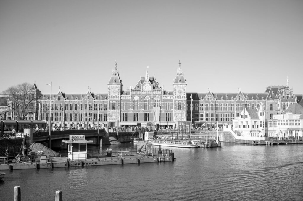
Amsterdam’s public transport combines trams, buses, metro and ferries. The tram is the most recognisable and useful mode for visitors: it connects the centre with neighbourhoods such as Oud-Zuid, De Pijp and Oost, and its stops are well signposted. The metro, faster over longer distances, is practical for reaching peripheral areas or the north of the city from the central station.
The key is to understand the network as an integrated system. A single ticket or card allows combinations within the chosen zone, and the ferries crossing the IJ also serve as a free link between the centre and Noord. Planning with an official app or the network map prevents improvisation and saves time.
The Dutch network rewards those who study it: a few minutes of planning saves detours and unnecessary waiting.
The IJ ferry: crossing for free
The ferries linking central Amsterdam with the northern bank of the IJ are one of the city’s best-kept mobility secrets. They run frequently and carry pedestrians and cyclists at no cost. For visitors, they offer a simple way to extend a route towards Noord, an area in transformation with cultural venues and open spaces.

Using them requires little preparation: identify the right pier and board. With a bicycle, position yourself in the indicated area and wait your turn. It is a brief but revealing experience of how the city integrates water into daily life.
Walking with judgement: distances, weather and footwear
Amsterdam is a walkable city, but not a uniform one. The Atlantic climate brings frequent rain and wind, especially in autumn and winter. Comfortable, waterproof footwear and a light outer layer make a difference. It is also worth calculating distances carefully: what looks close on a map can stretch out because of canal crossings and one-way streets.
Walking reveals the city at your own pace, but demands attention to your surroundings. Cycle lanes are off-limits, trams have priority and pavements can narrow. Respecting these rules is not only a matter of safety: it is how you integrate into a city that works thanks to coexistence between modes.
Planning before you leave: tickets, cards and apps
Planning starts before the trip. Knowing the ticket options — by time or by zone — and deciding whether a tourist card or a public transport pass makes sense helps avoid impulsive purchases. Official transport apps offer route planners, maps and service alerts, though it is wise to cross-check information with stop displays.
For short stays, many visits cluster in the centre and require little more than walking and the occasional tram ride. For longer stays or for exploring distant neighbourhoods, public transport becomes essential. In both cases, carrying a downloaded map and a little backup battery is a sensible precaution.
- Check the validity of your card before boarding.
- Validate your ticket at every entry, including ferries where required.
- Keep a copy of the network map on your phone.
- Consider walking alternatives for short journeys.
Accessible mobility: plan ahead to avoid improvisation
Amsterdam has worked for years to improve transport accessibility, but not every point in the city offers the same conditions. Stations with lifts, low-floor trams and adapted stops make movement easier for people with reduced mobility, pushchairs or luggage. However, canals, cobblestones and some narrow streets remain a challenge.
The recommendation is to plan ahead: check which stations have full accessibility, avoid unnecessary transfers and, where possible, choose routes with fewer obstacles. For cycling, adapted bikes and tandems exist, though availability varies by provider.
What to avoid and what to prioritise
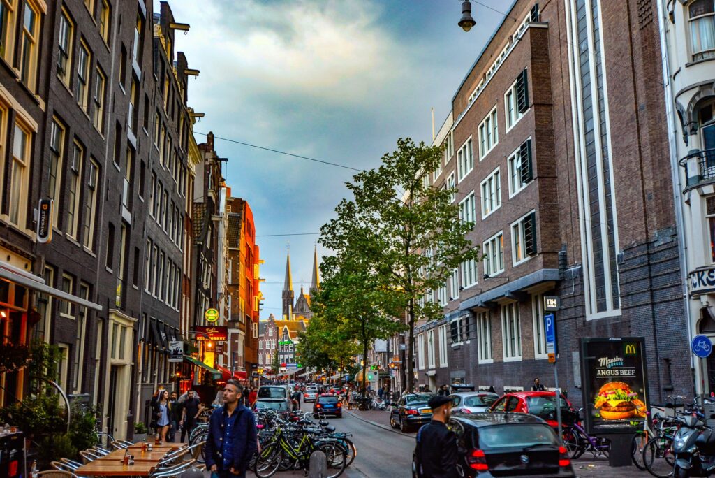
Avoiding the car is almost an unwritten rule in the centre. Parking is limited, expensive and subject to restrictions, and many areas are pedestrianised or access-controlled. Taxis can be useful in specific cases but are not the most efficient option for urban journeys. Prioritising public transport, bicycles and walking makes better use of time and budget.
It is also worth avoiding peak hours on trams and buses if travelling with luggage or seeking calm. And above all, avoid improvisation: in a city with a dense network, knowing which mode to use and when simplifies any day.
Practical guide
When to travel: spring and autumn offer mild temperatures and fewer crowds. Summer draws more visitors; winter requires warm clothing and waterproof footwear.
How to pay for transport: there are time-based tickets and rechargeable cards. Check machines or service points before boarding and always validate your ticket.
What to bring: comfortable shoes, a light rain jacket, a power bank and a downloaded copy of the network map. On a bicycle, lights and a lock are essential.
Safety: respect cycle lanes, do not walk in them and cross only at marked points. On trams and buses, keep belongings in sight.

Accessibility: check in advance which stations have lifts and which lines use adapted vehicles. Planning simple transfers reduces surprises.
Language: Dutch is the local language, but English is widely used in signage and customer service.
A closing thought: seeing the city differently
At the end of the day, when traffic quietens and the canals reflect the lights, Amsterdam reveals its true scale. Mobility stops being a sum of journeys and becomes a way of understanding the city: the bicycle crossing paths with the tram, the ferry linking two banks, the pedestrian waiting their turn. Planning ahead does not remove spontaneity; on the contrary, it frees time to look, pause and let the city set its own pace.