Cartagena de Indias, on Colombia’s Caribbean coast, is a city that explains itself through its walls. The fortification system surrounding its historic centre is the most extensive in South America, a work of military architecture built between the 16th and 18th centuries to protect one of the most coveted ports in the Caribbean. Today, those walls no longer separate enemies: they frame neighbourhoods where daily life unfolds among bastions, plazas and balconies.
To walk through Cartagena is to read a city in layers. In 1984, UNESCO inscribed its port, fortresses and group of monuments as a World Heritage site, recognising its value as an eminent example of military architecture from the 16th, 17th and 18th centuries and its role as an essential link in Caribbean trade routes. But beyond dates and criteria, a living question persists: how do people inhabit a landscape built for war?
Three neighbourhoods, three ways of being in the city
Within the walled enclosure, the historic centre is divided into three sectors that UNESCO describes with precision: San Pedro, where the cathedral and numerous Andalusian-style palaces stand; San Diego, the former quarter of merchants and middle-class artisans; and Getsemaní, the popular suburb where artisans and enslaved people who sustained much of the city’s economic activity lived.
That division is not merely administrative. Walking from San Pedro to Getsemaní means crossing social strata that time has gradually blended. The streets of San Pedro retain the solemnity of palaces and inner courtyards; those of San Diego, an air of workshop and commerce; those of Getsemaní, a more earthly energy, made of small plazas, music and neighbours who know each other by name.

The wall was not only a defence against the sea: it was also a way of ordering the lives of those who lived inside and outside it.
The landscape as constructed memory
Cartagena’s fortifications are not an isolated monument. They form a system that took advantage of the bay’s natural defences: channels, passes and coves that Spanish engineers knew how to read. The Castillo San Felipe de Barajas, on a rocky hill to the east, protected access to the Cabrero isthmus; other fortresses dominated the passes of Bocachica and Bocagrande.
That relationship between geography and construction is key to understanding the city. The landscape was not an obstacle but an ally. The walls adapted to the terrain, and the terrain, in turn, shaped the city’s form. Today, that symbiosis is felt on the waterfront, in the views from the bastions and in the way the sea still sets the rhythm of daily life.
Life among bastions
For those who live in the historic centre, the walls are part of the daily landscape. They are not visited as a relic: they are crossed on the way to the market, used as an improvised viewpoint at sunset, turned into a stage for conversations and domino games. The walled city is not a museum, even though its heritage value is unquestionable.
That coexistence has tensions. Growing tourism, real estate pressure and infrastructure projects, such as the Transcaribe transport system or the dredging of the Bocachica channel, pose challenges to the site’s authenticity. UNESCO has noted that these changes may threaten the property’s outstanding universal value, and that a management plan balancing conservation and urban life is needed.
Getsemaní: the neighbourhood that resists
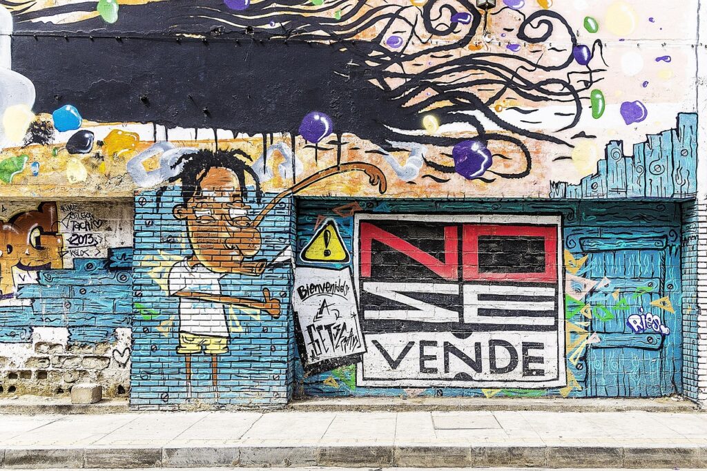
Getsemaní is perhaps the sector where that tension is most visible. Formerly the popular suburb, today it is a neighbourhood in transformation, with hostels, galleries and cafés coexisting with homes of lifelong residents. Its narrow streets, plazas and murals tell a story of resistance and adaptation.
Cartagena’s urban memory is not only in its monuments. It is in painted façades, wooden balconies, inner courtyards that cool the Caribbean heat. It is in the way neighbours have learned to share their quarter with visitors without entirely losing their identity.
Architecture that breathes
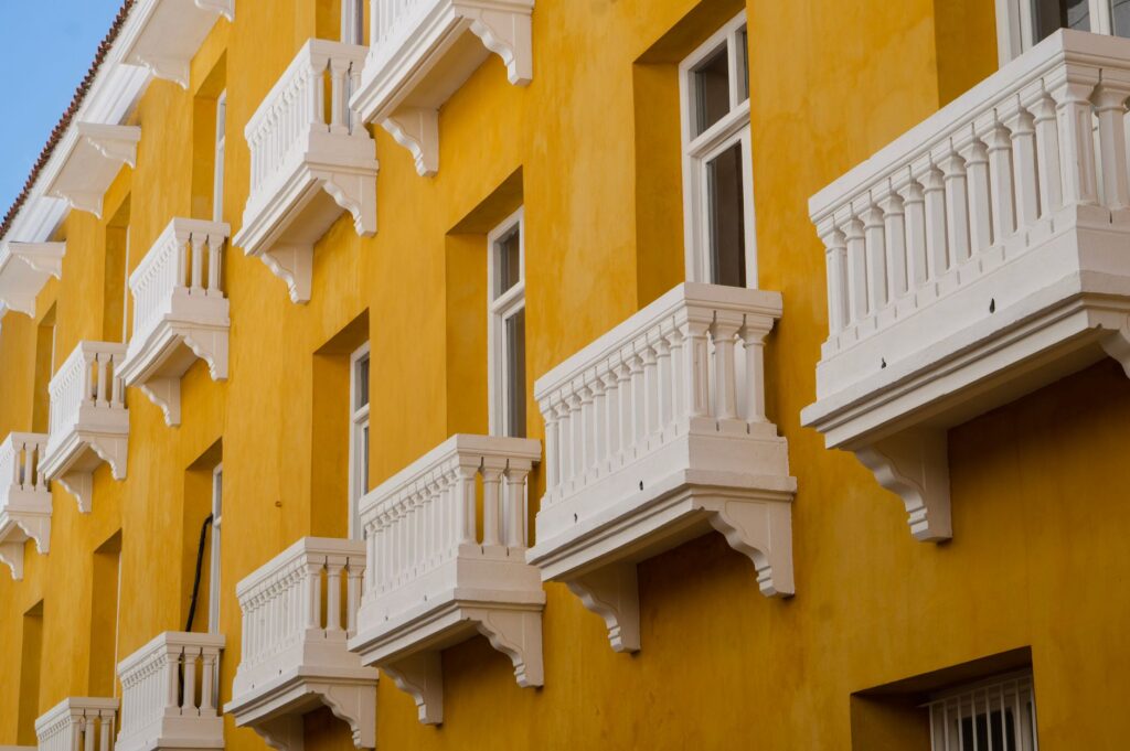
Cartagena’s architecture combines Andalusian, Caribbean and colonial influences. Overhanging balconies, latticework, courtyards with fountains and wooden doors are elements that respond to climate and social life. They are not mere ornaments: they are practical solutions for ventilation, shade and coexistence.

That domestic architecture is as important as the fortresses. UNESCO highlights the beauty and relevance of the civil, religious and residential monuments of the historic centre. But it is the houses, workshops and plazas that bring that ensemble to life. The city cannot be understood without the people who inhabit it.
Cartagena is not just a fortified port: it is a city that has learned to live with its own history, without ceasing to write it every day.
The sea as a daily horizon
The Caribbean Sea is not a backdrop: it is a constant presence. It shapes the climate, the light, the rhythm of the tides and the economy. Fishermen, fruit vendors, children playing on the waterfront: all coexist with the water as part of their daily lives.
That relationship with the sea has also marked the city’s history. Cartagena was one of the most important ports on Caribbean trade routes, alongside Havana and San Juan, Puerto Rico. Today, that heritage is reflected in the diversity of its people and the openness of its culture.
A heritage cared for with laws and hands
Cartagena’s protection does not depend on laws alone. Since 1959, the historic centre has been declared a National Monument, and various regulations have governed its conservation. But it is the artisans, restorers, residents and local institutions who sustain that heritage day by day.
The Territorial Management Plan and the Special Protection and Management Plan for the Historic Centre are key instruments for balancing development and conservation. The task is not simple: it involves coordinating public and private actors, and ensuring that interventions do not compromise the site’s value.
Practical guide
To visit Cartagena de Indias with respect and purpose, consider the following:
- Best time: the dry season, from December to April, offers less rain and more pleasant temperatures. The rainy season, from May to November, is more humid but also less crowded.
- Suggested route: start at the Plaza de la Aduana and the Cathedral, continue to San Diego and finish in Getsemaní. The walls can be walked, especially at sunset.
- What to bring: light clothing, sunscreen, a hat and comfortable shoes. Heat and humidity are constant.
- Heritage respect: avoid touching the walls of the fortifications, do not leave waste and respect residential areas.
- Getting around: the historic centre is walkable. For longer distances, there are taxis and the Transcaribe system, although the latter operates mainly outside the walled city.
The city invites you to walk it without haste, to observe details and to listen to the stories told in its plazas. It is not about consuming a destination, but about understanding a place.
A city still writing its history
Cartagena de Indias is many things at once: port, fortress, historic centre, popular neighbourhood, tourist destination. Its value lies not only in its walls or monuments, but in the way its people have learned to inhabit them. Cartagena’s urban memory is a living memory, made of stone and everyday life.
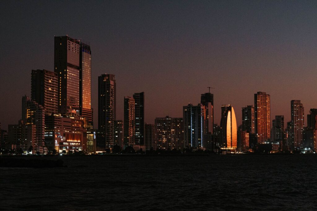
At the end of the day, when the sun sets over the Caribbean and lights come on in the balconies, the city shows its most human face. It is not an immobile stage: it is a place where history and life remain intertwined, reminding us that heritage is not only what is preserved, but what is shared.