
The Geography of Isolation and the Sovereignty of Distances
In the vast blue chessboard of the South Pacific, where lines of longitude seem to lose their geometric rigor against the boundlessness of the ocean, the Cook Islands represent one of the most complex exercises in territorial sovereignty and logistics on the planet. Scattered across more than two million square miles of open sea, this fifteen-island archipelago divides naturally into two distinct worlds: the southern group, of volcanic origin, fertile soils, and rugged relief; and the northern group, composed of low-lying coral atolls that barely emerge a few meters above the marine surface. For travelers and residents inhabiting this outpost, movement is not merely a functional act, but a millimetric choreography dictated by tidal whims, trade winds, and the reliability of an inter-island transport network that balances Polynesian seafaring tradition with contemporary aviation and navigation standards.
Understanding the dynamics of mobility in the Cook Islands requires abandoning any terrestrial analogy. Here, roads do not connect neighboring towns; instead, oceanic channels and compacted coral airstrips act as the sole umbilical cords preventing disorientation and supply shortages. Through this report, we examine how connections operate between Rarotonga—the administrative and economic beating heart of the country—and the most remote northern enclaves, such as Penrhyn and Pukapuka, unveiling the human and technical effort behind every maritime voyage and every flight approach to atolls lost in the equatorial mist.
Rarotonga as Central Node and International Connectivity
The mandatory starting point for any journey through the archipelago is Rarotonga International Airport (RAR), a facility inaugurated in the early 1970s that radically transformed the nation’s historical isolation. Located on the northern coast of the main island, this airfield operates as the sole major logistical lung connecting the Cook Islands with the nerve centers of the Pacific and the Northern Hemisphere, principally Auckland, Sydney, Papeete, and Los Angeles. The arrival of a long-haul flight is, in itself, a social and economic event that mobilizes cargo operators, customs services, and entire families gathering to welcome relatives or urgent medical supplies.
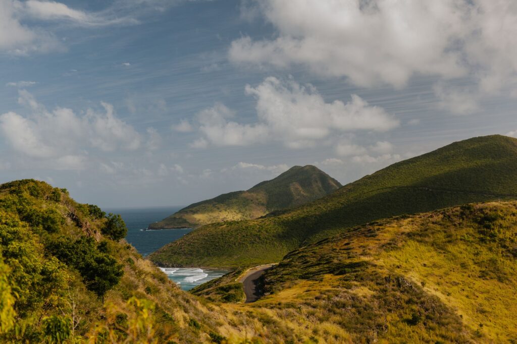
Managing air traffic in Rarotonga presents unique operational challenges due to its geographical location and the changing meteorology of the tropical belt. Airlines operating regular routes must contend with sudden wind shear caused by the imposing volcanic silhouette of Mount Te Manga, which rises over six hundred meters in the island’s center. Instrumental and visual approach protocols require highly skilled flight crews capable of precise responses to seasonal storm warnings. This international flow not only sustains the main island’s tourism industry but constitutes the first link in a logistical chain tasked with redistributing perishable goods, mechanical spare parts, and mail to the rest of the archipelago.
The Coastal Fleet and Southern Merchant Routes
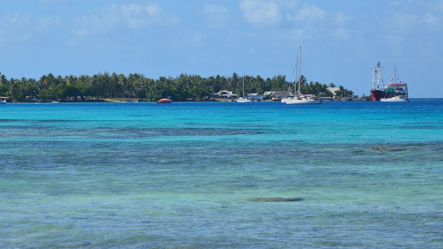
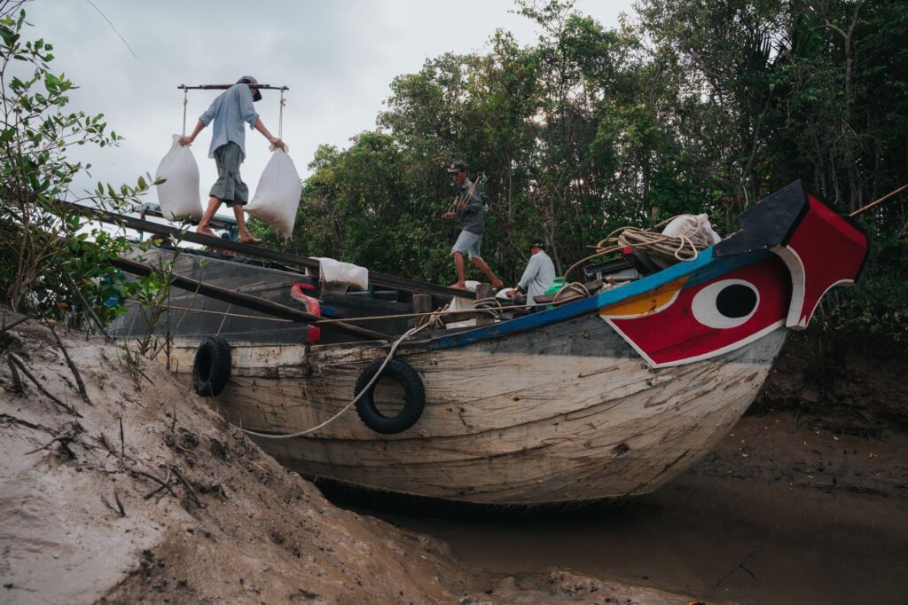
If commercial aviation sustains the external pulse of the Cook Islands, coastal navigation is the true backbone vertebrating economic and human exchange within the southern group. Aging multipurpose freighters, designed specifically to withstand heavy southern swells and equipped with high-capacity cranes to operate in open roadsteads without deep-water piers, regularly set sail from Avatiu Harbor in Rarotonga bound for atolls like Aitutaki, Atiu, Mitiaro, and Mangaia.
These cargo vessels transport everything from heavy machinery and construction materials to fuel drums and packaged foodstuffs. Port operations at destinations are a masterclass in maritime synchronization. In many southern group islands, ships cannot dock due to the shallow depth of the barrier reefs. Goods must be unloaded onto landing barges or robust motor launches that negotiate breaking waves with pinpoint accuracy, guided by local skippers familiar with every live coral head and rip current. This system, seemingly archaic, demonstrates astonishing resilience in the face of conventional port infrastructure limitations.
The Northern Atolls: Coral Runways and Boreal Isolation
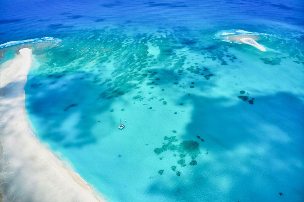
As routes push further north—surpassing a thousand miles of oceanic distance from Rarotonga—logistical complexity multiplies exponentially. The islands of the northern group—Rakahanga, Manihiki, Penrhyn, Pukapuka, and Palmerston—are coral rings enclosing deep turquoise lagoons. In these confines, where dry land is scarce and elevation above sea level is measured in centimeters, maritime transport is markedly infrequent; cargo ships can take months to complete a rotation cycle due to immense distances and high fuel operational costs.
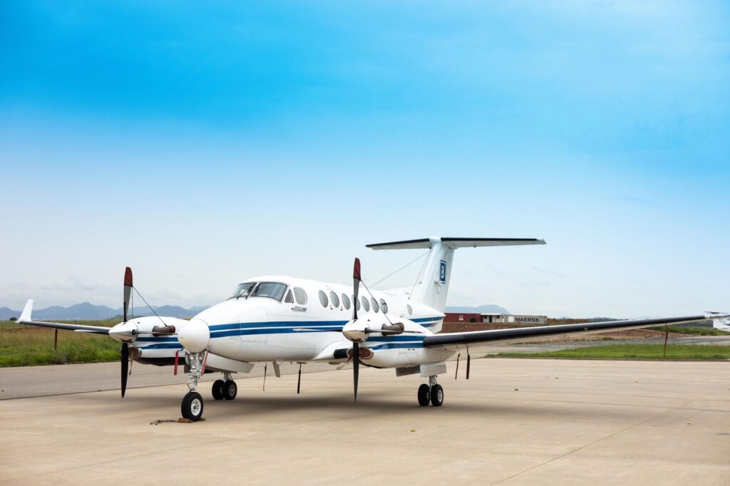
Facing this reality, domestic light aviation has become a vital alternative, though not without structural risks. Airstrips formed by crushed and compacted coral plates—frequently unpaved—serve to receive small twin-engine aircraft. Maintaining these strips is a monumental and ongoing task for local communities, who must repair potholes caused by spring tides and torrential rains using manual tools. The absence of night lighting systems on the vast majority of these airfields strictly limits operations to daylight hours, turning every takeoff and landing into a maneuver dependent on meteorological visibility and firm coral conditions.
The Logistics of Pearl Farming and Local Export
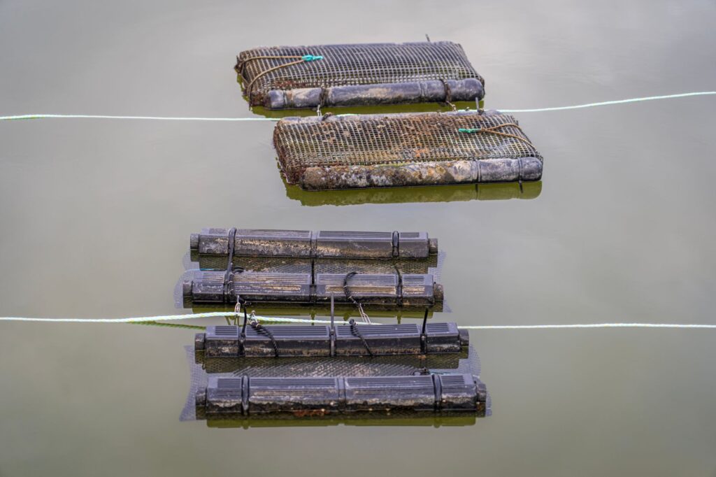
The economic engine of several northern and central atolls, particularly Manihiki, rests upon the aquaculture of the Polynesian black pearl (Pinctada margaritifera). The viability of this highly specialized industry depends entirely on an unforgiving inter-island supply chain. Technicians, farming substrates, laboratory tools, and chemicals necessary for nucleus insertion must travel thousands of nautical miles from Rarotonga or international sourcing centers.
Once harvested, pearls begin the reverse journey under strict security and thermal control protocols. They travel in pressurized cargo compartments on light aircraft or inside the secure vaults of liner ships to Rarotonga, from where they are exported to jewelry markets in Geneva, Tokyo, or New York. This contrast between the fragility of a wind-whipped remote atoll and the global circuits of luxury underscores the logistical paradox of the Cook Islands: an insular economy deeply integrated into international trade yet dependent on fragile transport threads that can snap under the slightest weather inclemency.
The true measure of distance in the Pacific is not calculated in nautical miles, but in the patience with which island communities await the arrival of the ship bearing news and sustenance.
Climate Challenges and the Transition Toward Sustainable Mobility
Over the past decade, transport planning in the Cook Islands has had to redefine its priorities to confront the acceleration of climate change. Increased intensity in tropical cyclones, galloping coastal erosion, and gradual sea-level rise threaten the physical integrity of airstrips and port infrastructure. Transport authorities, in close collaboration with regional Pacific agencies, have promoted an ambitious plan to fortify Avatiu piers and modernize beacon systems in peripheral atolls.
Likewise, the island transport sector faces the imperative of decarbonization. Given absolute dependence on imported fossil fuels—which arrive via tanker ships at a staggering economic and environmental cost—pilot projects are being implemented for port electrification via solar energy and the design of hybrid coastal vessels combining wind-assisted propulsion with low-emission electric motors. These efforts seek to ensure island mobility remains viable in coming decades without compromising the delicate marine ecosystems sustaining residents’ lives and culture.
Practical guide
- Documentation and Entry: Citizens of the European Union, the United States, Australia, and New Zealand do not require a visa for tourist stays under 31 days, provided they hold a valid passport with at least six months’ validity, a confirmed return ticket, and proof of sufficient funds.
- International Air Connectivity: Rarotonga International Airport (RAR) receives regular direct flights operated primarily by Air New Zealand from Auckland and Jetstar from Sydney, alongside connections with French Polynesia operated by Air Rarotonga.
- Inter-island Flights: Air Rarotonga operates the domestic flight network to Aitutaki, Atiu, Mitiaro, Mangaia, and Mauke. Bookings must be made well in advance due to limited aircraft capacity and high seasonal demand.
- Commercial Maritime Navigation: Cargo ship travel to the northern group is not conceived as conventional tourist cruising; conditions on board are austere and schedules are subject to constant modification depending on sea states and port workloads.
- Climate and Seasonality: The best period to plan inter-island travel spans from May to October, during the dry season, when trade winds blow more regularly and the frequency of tropical cyclones drops drastically.
- Currency and Payments: The official currency is the Cook Islands dollar (circulating alongside the New Zealand dollar). Credit cards are widely accepted in Rarotonga and Aitutaki, but cash is essential in northern atolls where automated teller machines are scarce.
- Digital Connectivity: Internet access across the islands is managed by local provider Vodafone Cook Islands. eSIMs or physical SIM cards can be purchased at Rarotonga airport, although signals in outer islands can be intermittent.
The Blue Horizon and the Memory of Wakes
As the sun dips below the South Pacific horizon, dyeing Aitutaki’s lagoon waters in hues ranging from deep ochre to the purest violet, the Cook archipelago reclaims the ancestral quietude that preceded mechanical modernity. In the docks of Avatiu and along Penrhyn’s coral beaches, life continues to beat to the leisurely rhythm of tides and the sway of waves breaking against the outer reef. The transport routes traversed in this analysis—from modern commercial airliners landing in Rarotonga to fragile skiffs defying surf breaks in the atolls—are not mere technical infrastructures, but the invisible threads holding together a dispersed community against oceanic boundlessness.
For travelers managing to penetrate this insular labyrinth, the reward stretches far beyond scenic contemplation; it lies in the profound understanding of a lifestyle model where distance does not isolate, but defines a collective identity rooted in seafaring solidarity and absolute respect for natural elements. At journey’s end, beneath the southern hemisphere’s starry sky, remains the certainty that the Cook Islands will endure as a beacon of cultural resistance and human connectivity at the very heart of the great blue ocean.