
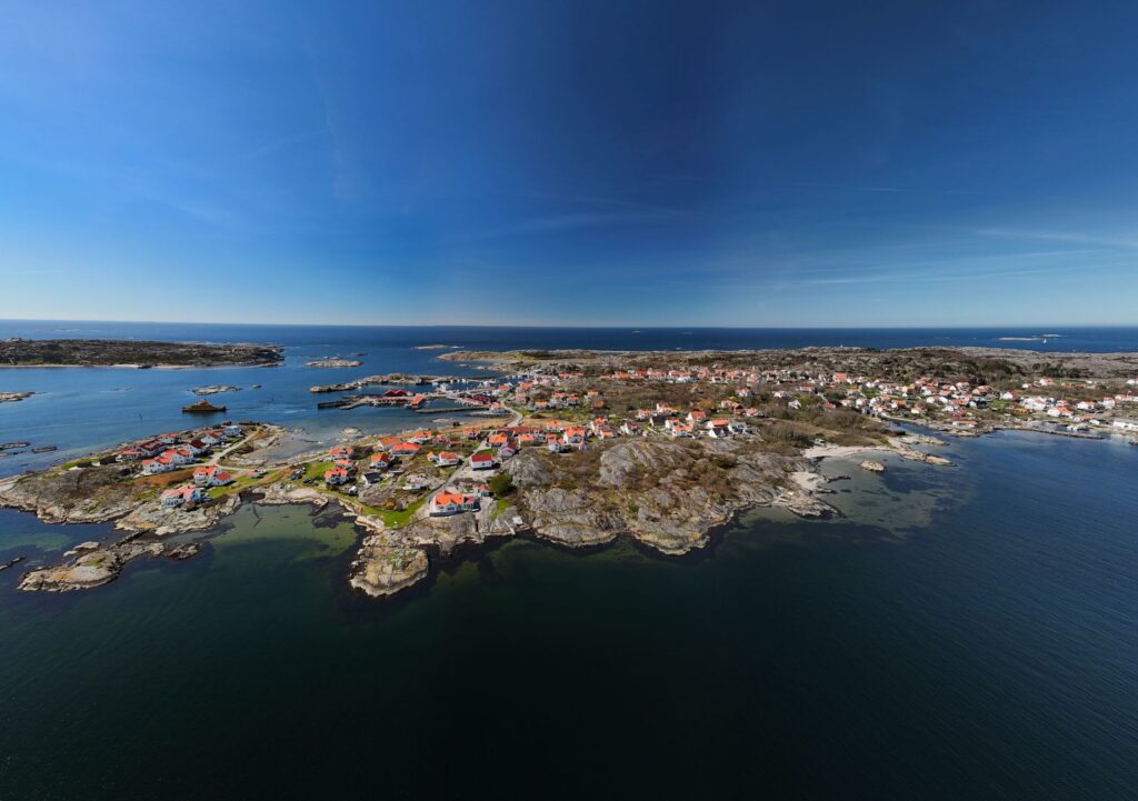
At the northern extremity of the Baltic Sea, where the waters of the Gulf of Bothnia merge with the Finnish archipelago, lies a geological mosaic composed of over six thousand islands and islets known as Åland. This Swedish-speaking autonomous region represents one of the most complex logistical challenges in Northern Europe. Its fragmented geography not only demands a continuous response from civil engineering but subjects its residents and visitors to an intermodal transport network where the synchronization between international ferries, local passenger vessels, and floating ice roads defines daily survival and contemporary travel viability.
Understanding mobility in this territory requires abandoning the continental logic of continuous asphalt. Here, the territory is not a static support upon which routes are traced, but an archipelago in constant climatic mutation. Each journey demands the meticulous articulation of deep-sea ships, local ferries known as skärgårdsfärjor, and a network of bridges and embankments stitching together terrestrial fragments. The analysis of this infrastructure reveals a system where fragility is not synonymous with weakness, but rather a sophisticated adaptation to an unforgiving natural environment.
The Maritime Backbone: The Baltic Ferry System
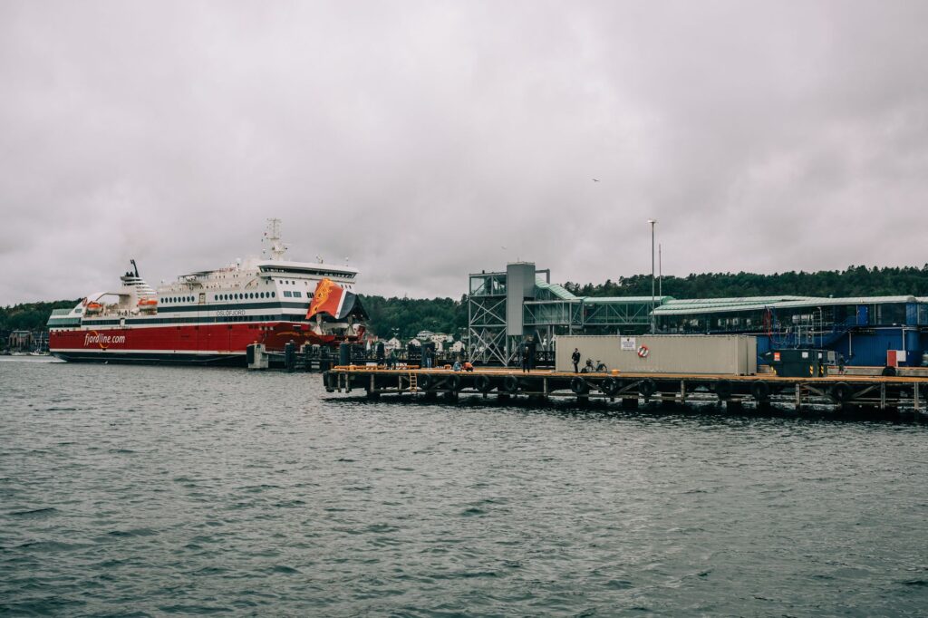
The first link in Åland’s connectivity chain consists of the large ferries operating international routes between Sweden (Kapellskär and Stockholm) and Finland (Turku and Helsinki), with mandatory stops in Mariehamn and Långnäs. These deep-draft vessels are far more than mere passenger carriers; they operate as true mother ships supplying goods, fuel, and sanitary services to the entire archipelago. Their structural design includes reinforced hulls capable of cutting through seasonal ice sheets covering the Baltic during the harshest winter months.
Aboard these ferries, life unfolds with near-surgical precision. Schedules are calculated to the minute, accounting for marine currents and the effects of fierce northwesterly gales. Managing berths in ports like Mariehamn requires automated docking systems that absorb the impact of vessels against reinforced concrete piers, protecting both port infrastructure and metal hull integrity. This maritime machinery guarantees that, even under the most adverse weather conditions, the umbilical cord with Scandinavia and the European mainland remains intact.
Link Architecture: Causeways, Bridges, and Sea Embankments
Once travelers leave the main island of Fasta Åland to venture into the lesser archipelagos, such as Brändö, Kumlinge, or Sottunga, the scale of transport shifts dramatically. Terrestrial routes depend on a fascinating network of road engineering known locally as landsvägar and landskapsvägar, which rely on a series of artificial stone embankments and prestressed concrete bridges leaping from rock to rock.
The construction of these causeways over the sea has transformed the region’s economic geography. Rather than depending exclusively on watercraft for every insular hop, civil engineers have leveraged rocky shallows to erect riprap dikes supporting single-lane asphalt roads with intermittent passing bays. However, this terrestrial solution carries a latent vulnerability: storm surges driven by low atmospheric pressures can flood lower-lying causeways, isolating entire communities within hours and forcing maintenance crews to mobilize heavy machinery permanently.
Åland’s infrastructure does not seek to dominate Baltic nature, but rather to permanently negotiate a fragile balance of passage.
The Interior Archipelago Routes: Local Skärgårdsfärjor Ferries
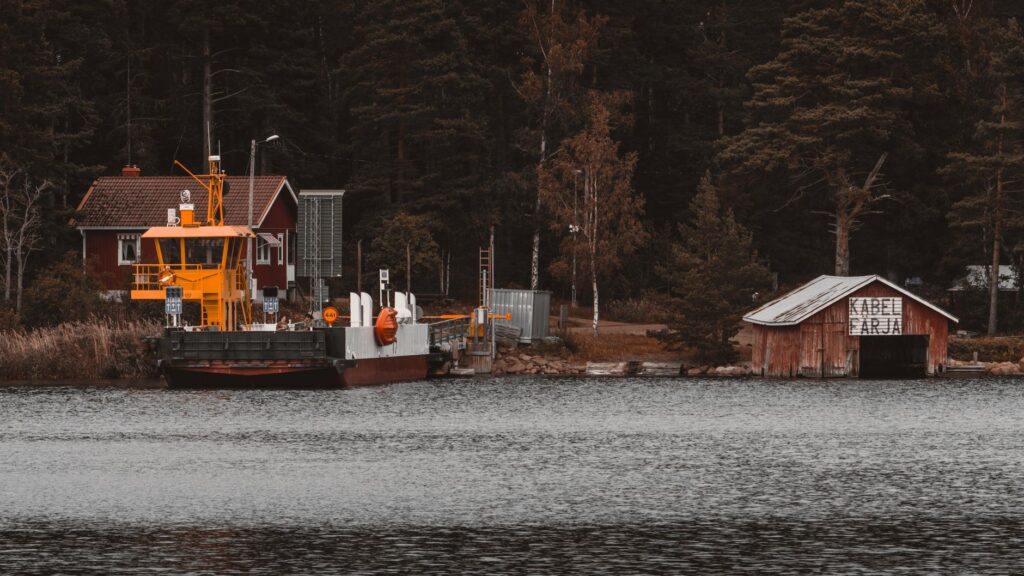
When fragmented geography prevents the construction of bridges or causeways, transport responsibility falls upon the local ferry fleet managed by the autonomous government of Åland. These bright red vessels connect outer islands through routes structured into two primary circuits: the Northern Ring and the Southern Ring. Unlike large international ferries, these units prioritize agility and mixed cargo capacity, allowing the simultaneous transit of cars, delivery trucks, and foot passengers.
The operation of these vessels is governed by strict public service contracts. Fares are subsidized to ensure that residents of peripheral islands maintain the same quality of life and access to basic services as those living in Mariehamn. However, transport planners face a growing budgetary and ecological challenge: fleet energy transition. Local authorities have begun incorporating hybrid and electric propulsion systems into new designs to reduce carbon emissions within a marine ecosystem highly sensitive and protected by international regulations.
Engineering Against the Cold: The Logistics of Ice Roads
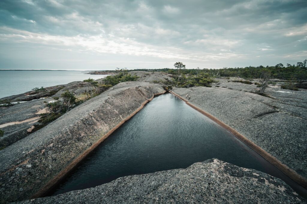
During rigorous winters, when temperatures drop well below freezing for continuous weeks, the Baltic Sea undergoes a transformative phenomenon: the marine surface solidifies. Rather than representing an insurmountable obstacle, this compact ice layer opens a unique logistical opportunity for the regional transport network: the official opening of so-called isvägar (ice roads).
These temporary roads are rigorously surveyed, measured, and supervised by ground transport engineers. Before authorizing vehicle traffic, systematic core drillings are conducted to measure ice thickness, which must exceed a strict minimum of twenty-five to thirty centimeters to support cars and light vehicles. Signaling these routes involves fir branches and reflective markers delineating the safe lane over the frozen abyss. Transit across these paths demands strict rules: absolute prohibition of stopping, speed limits, and a prudent safety distance between vehicles to prevent resonance on the frozen surface.
Airport Infrastructure and Regional Air Connectivity
Although maritime transport dominates Åland’s narrative, civil aviation plays an irreplaceable strategic and emergency role. Mariehamn Airport (MHQ), located a few kilometers from the urban center, features a paved runway over two thousand meters long, capable of receiving mid-sized commercial aircraft. Regular air connections operate primarily with Stockholm and Helsinki, guaranteeing a steady flow of professionals, tourists, and emergency medical services.
Managing this airfield in an exposed insular environment requires high-precision meteorological systems, especially due to persistent marine fog banks and heavy snowfalls. The infrastructure features advanced lighting systems and state-of-the-art de-icing equipment. In situations where winter storms block both ports and roads, the air link becomes the sole sanitary lifeline for the urgent transfer of patients to mainland university hospitals.
Trip Planning: The Challenge of Seamless Intermodality
For contemporary travelers deciding to explore the Åland archipelago, logistical planning demands an analytical rigor superior to that of a conventional European destination. The reliance on multiple transport operators—private shipping lines, the local public ferry service, and regional buses—requires synchronizing every movement with wide safety margins against potential weather-induced delays.
Ticket acquisition has been digitized via unified platforms, but advance booking for vehicle space on local ferries is essential during the summer season, when hold capacities saturate rapidly. Information desks at Mariehamn and Långnäs ports offer real-time panels on route status, weight restrictions on secondary bridges, and the operational availability of insular connections.
Travelers traversing Åland discover that the true luxury of the journey is not speed, but absolute harmony with the rhythms of sea and land.
Practical guide
How to get there: Main access is via international ferries operated by companies such as Viking Line and Tallink Silja from Stockholm, Kapellskär, Turku, or Helsinki. Regular flights operated by NyxAir also connect Helsinki and Estocolmo to Mariehamn Airport.

When to travel: The months from June to August offer prolonged daylight and stable weather conditions for cycling and sailing. Winter (January to March) offers the unique experience of ice roads, albeit with severe limitations on tourist services.
Internal transport: To tour the outer islands, the local ferry system (Ålandstrafiken) is essential. Consulting updated schedules and booking weeks in advance when traveling with a motor vehicle during summer months is mandatory.
Accommodation and services: Mariehamn concentrates the largest hotel offering. Outer islands are dominated by traditional wooden cabins (stugor) and small family guesthouses requiring direct booking.
Environmental regulations: Åland rigorously protects its fragile marine ecosystem. Dumping waste into the sea is strictly prohibited, and protected seabird nesting areas must be respected during spring.
Digital connectivity: Mobile phone networks and 5G coverage are excellent across the main archipelago, though coverage may drop in remote islets and during extended sea crossings.
Road safety: Speed limits are strict (generally 70 to 90 km/h on secondary roads). Extra caution is required due to the frequent presence of wildlife (deer and moose) on peripheral roadways.
At dusk, when the golden light of the Baltic reflects upon the steel hulls of ferries moored at Långnäs pier and the silence of granitic rocks envelops the insular landscape, the magnitude of this collective effort becomes clear. Stone causeways, narrow bridges, and the white wakes of ice vessels are not mere transit tools; they represent the living architecture of a community that has transformed insularity and geographical fragility into a masterpiece of engineering and human endurance.