
The Persistence of Open Water at the Southern Edge
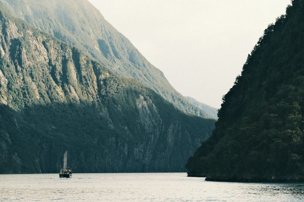
At the southeastern extremity of the planet, where the Indian Ocean and the Southern Pacific merge into an endless liquid mass, Tasmania’s geography ceases to be a continuous line, fragmenting instead into an archipelago of basaltic cliffs, wind-battered inlets, and narrow channels where tidal currents dictate the law. Here, navigation is neither a casual summer pastime nor a secondary logistical option; it forms the sole umbilical cord connecting isolated settlements with the primary ports of Hobart and Huonville. Far from the standardization of global trade routes, the southern coast and the islands of the d’Entrecasteaux Channel operate under an amphibious self-sufficiency regime where local skippers safeguard knowledge passed down through generations.
The question running through this insular strip is as old as navigation itself: how to maintain living community and economic connectivity in a territory where weather patterns shift within minutes and land infrastructure is practically nonexistent? To answer it, one must embark on the wooden fishing vessels still plying these cold waters, observing firsthand the symbiosis between human skill and the demands of an implacable environment. The regional economy depends critically on this small-scale cabotage, transporting everything from medical supplies to cold-water aquaculture gear.
Naval Architecture of the Southern Channels
Boatbuilding in Tasmania has historically been conditioned by the scarcity of sheltered artificial harbors and an abundance of exceptional native timbers, such as Huon pine (Lagarostrobos franklinii). This material, characterized by extremely slow growth and natural oils rendering it virtually immune to marine rot, enabled shipwrights in Hobart and the small shipyards of Franklin to design hulls capable of withstanding the constant pounding of sub-Antarctic and southern seas. Traditional hulls do not chase raw speed, but rather directional stability and the capacity to absorb torsional stress generated by crossed seas.
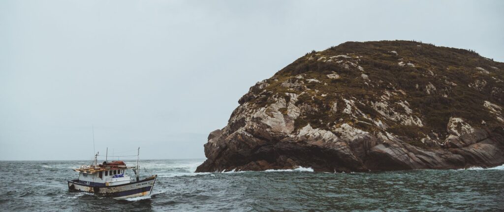
In the riverside workshops surviving along the Huon River basin, contemporary artisans combine traditional steam-bending techniques with precision digital tools to keep afloat fleets often exceeding half a century of service. The longevity of these vessels stands as direct testimony to a constructive philosophy where every frame and bronze fastening answers to an engineering logic of extreme structural endurance. Unlike industrialized fiberglass watercraft, a Huon pine boat possesses a unique elastic flexibility allowing it to dissipate the energy of oceanic strikes without fracturing.
The Tide Logistics of d’Entrecasteaux Channel
Navigating the d’Entrecasteaux Channel, separating Bruny Island from the Tasmanian mainland, demands absolute mastery of local hydrodynamics. Semidiurnal tides generate currents exceeding four knots in narrower passages like the D’Entrecasteaux Narrows, turning each morning crossing into an exercise in millimetric calculation. Skippers of vehicle ferries and minor cargo launches must anticipate water behavior based on barometric readings and empirical observation of sandbanks and bedrock outcrops.
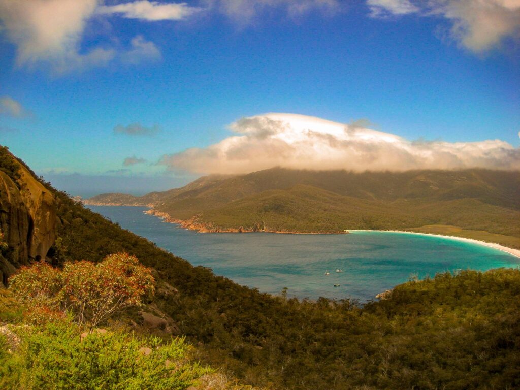
Nautical knowledge is measured not in digital sea charts, but in the ability to read the subtle shift in wind murmurs across wave crests before the sky closes in entirely.
This reliance on environmental physical conditions has prevented uncontrolled mass tourism, preserving an ecosystem of small logistical lifelines. Perishable goods, postal mail, and mechanical spare parts reach insular communities via an open-deck barge network operating with punctuality subject to the elements’ whims. The lack of deep-water docks in many coves forces unloading maneuvers through auxiliary dinghies and manual pulley systems, serving as a constant reminder of human vulnerability before southern immensity.
The Human Pulse of Insular Communities
In the small settlements of the southern coast and Bruny Island, daily life is dictated by tidal rhythms and the arrival of scheduled supply vessels. Permanent residents—a mixture of shellfishers, artisans, leatherwood honey apiarists, and oceanography researchers—have developed community resilience rarely found in contemporary Western society. Insular solidarity manifests through the shared management of backup electricity generators, rainwater harvesting systems, and VHF radio networks acting as the true nervous system of the region.

Geographic isolation, far from being perceived as a sentence, is defended by many as the final bastion of contemplative life connected to natural cycles. Rural schools operate with reduced enrollments where students learn mathematics alongside basic marine meteorology and coastal piloting. This radical integration between the educational curriculum and the physical environment ensures younger generations understand the incalculable value of preserving their fragile amphibious autonomy.
Cabotage Routes and Historical Anchorages
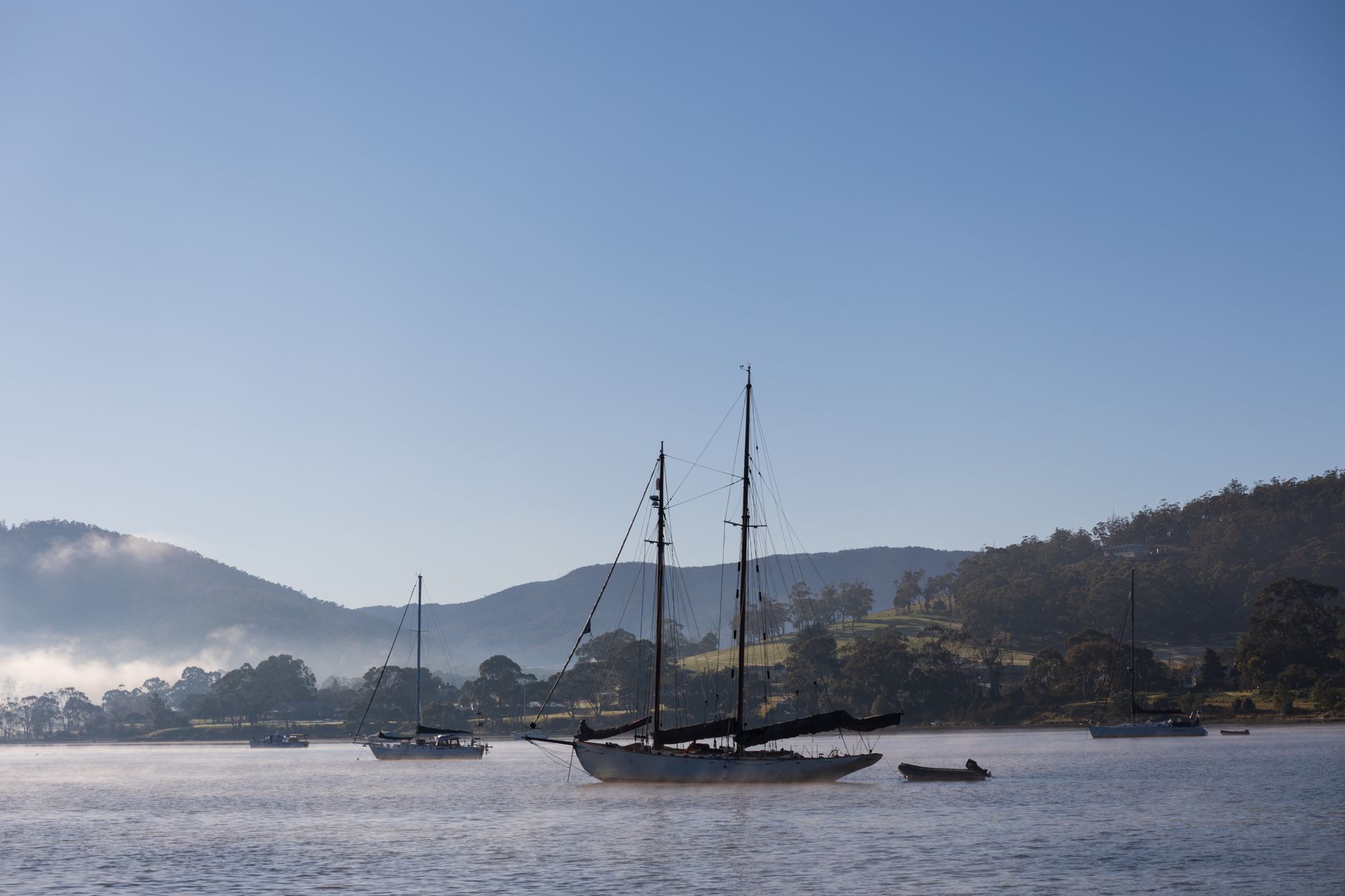
Throughout the 19th and 20th centuries, Tasmania’s southern coast was traversed by paddle steamers and whaling schooners establishing strategic anchorages in sheltered coves like Recherche Bay and Port Esperance. Today, these bays act as temporary havens for offshore yacht fleets participating in the legendary Sydney-Hobart race, as well as for coastal fishers seeking shelter from westerly gales. Infrastructure across these anchorages remains deliberately austere: heavy-duty mooring buoys, solar beacons, and the absolute absence of commercialized marinas.

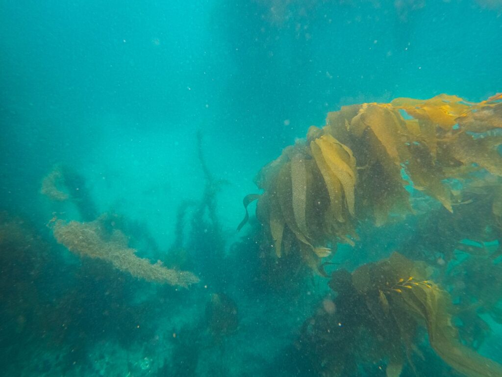
Approaching these havens requires rigorous attention to bathymetric charts, since giant kelp beds (Macrocystis pyrifera) can tangle propellers and rudders if due precautions are ignored. Experienced skippers know anchoring on Tasmania’s coast requires assuming anchors must bite into smooth rock or dense mud, where holding power depends equally upon chain weight and seamanship in deploying proper scope.
Marine Ecology and Climate Change Impacts
The marine ecosystem sustaining life in these southern channels undergoes accelerated transformations driven by warming waters in the Tasman Sea, which heat up at rates exceeding global averages. The gradual loss of giant kelp underwater forests and the arrival of invasive species from temperate northern waters threaten the biological equilibrium upon which abalone fisheries, southern rock lobster, and mussel farming depend.
Local artisanal fishers and marine biologists collaborate on participatory monitoring programs, utilizing their own vessels as scientific sampling platforms in zones where large oceanographic research ships cannot operate due to draft limitations or inaccessible approaches. This joint effort underlines how the economic survival of artisanal fishing remains inextricably linked to the long-term health of regional benthic habitats.
Practical guide
Planning a rigorous trip or immersion into southern Tasmania’s maritime reality requires discarding conventional tourism expectations and adopting strict respect for weather patterns and local communities.
- How to get there: Hobart serves as the obligatory starting point. Access to the d’Entrecasteaux Channel region and Bruny Island involves rental vehicles and mandatory use of the vehicular ferry operating between Kettering and Roberts Point.
- Local maritime transport: Massive cruise lines do not service this coastline. Exploration of interior channels and minor islets occurs via authorized rigid-hulled inflatable boat operators departing from Southport and Kettering, or by chartering services with certified local skippers.
- Best time for navigation: The southern summer (December through February) offers the most stable wind conditions, though Antarctic cold fronts can cross the area year-round. High-performance waterproof technical clothing is required regardless of season.
- Accommodation and services: Lodging is restricted to independent cabins, resident-managed country homes, and small rural accommodations on Bruny Island and the Huon basin. Advance booking months ahead is essential due to low tourist carrying capacities.
- Ethical and environmental rules: Altering historical anchorages, collecting protected marine flora, or interfering with local aquaculture farm operations is strictly prohibited. Waste management must remain completely self-sufficient.
The Silenced Southern Horizon
As evening falls, when the Roaring Forties winds ease and the d’Entrecasteaux Channel surface turns into a dark mirror reflecting distant snow-capped Mount Wellington peaks, Tasmania’s coastline regains its atavistic silence. Fishing vessel lights anchored in lonely coves blink like fallen stars upon the water, marking the presence of humanity having learned to coexist with the fury of the southern ocean. At this edge of the world, travel ceases to be fleeting landscape consumption and transforms into a profound lesson in humility, where every voyage confirms that true connection among peoples is only possible when respecting the unbribable sovereignty of the sea.