
Origins and Course of an Ancestral Artery
The Senegal River is far more than a mere line traced on cartographic maps of West Africa; it constitutes the historical backbone that has irrigated entire civilizations from medieval times to the present day. With over a thousand kilometers of navigable water in its main stretch, this waterway has historically functioned as a premier migratory, commercial, and cultural corridor bridging the Sahel and the Atlantic Ocean. Navigation upon these waters has traditionally depended on the whims of a hydrological regime defined by an unrelenting dry season and an intense summer monsoon flood that spills across the alluvial plains.
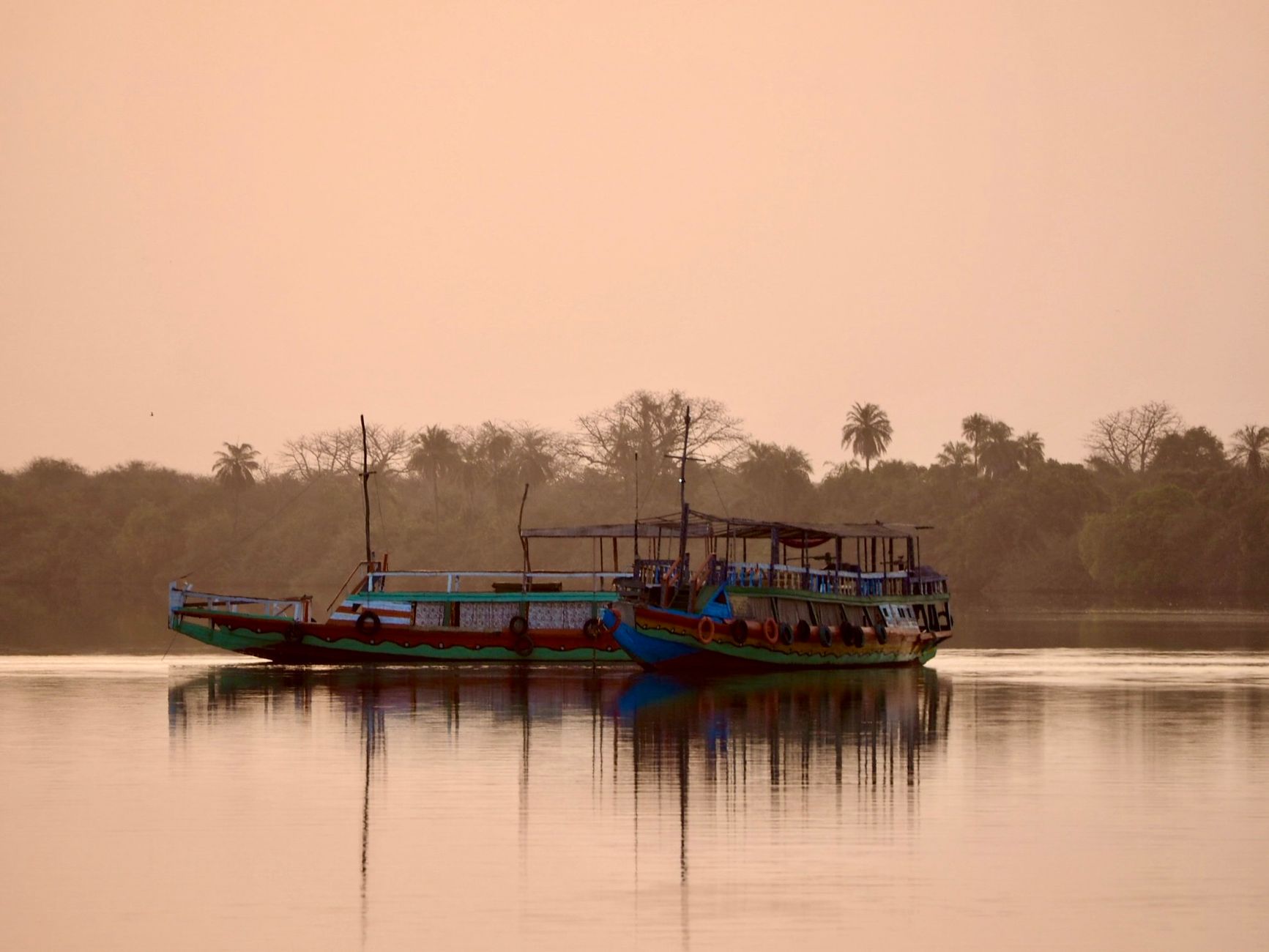
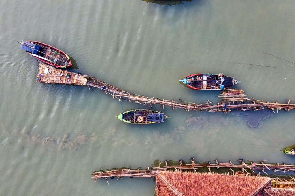
From the river mouth at Saint-Louis to interior trading outposts such as Podor and Matam, local communities have relied on a seamless symbiosis with the current. Hand-carved wooden pirogues—shallow-draft river craft with sharp prows and dynamic buoyancy—represent the most resilient indigenous technology for traversing the sandy shallows and shifting mudbanks characterizing the riverbed. Propelled by long wooden poles or adapted outboard motors, these vessels act as the true circulatory system connecting isolated settlements where terrestrial road infrastructure remains virtually nonexistent during the rainy season.
The arrival of the French colonial administration in the late nineteenth century radically transformed transport morphology along the corridor. Systematic dredging projects were engineered, and customs checkpoints were erected to channel flows of gum arabic, peanuts, and cotton toward Atlantic export ports. However, the subsequent independence of the riparian nations and the construction of major hydroelectric infrastructure, such as the Diama and Manantali dams near the Malian headwaters, irreversibly altered the ecological and hydrodynamic pulse of the river, imposing new challenges on traditional connectivity.
Colonial Engineering and the Challenge of Locks
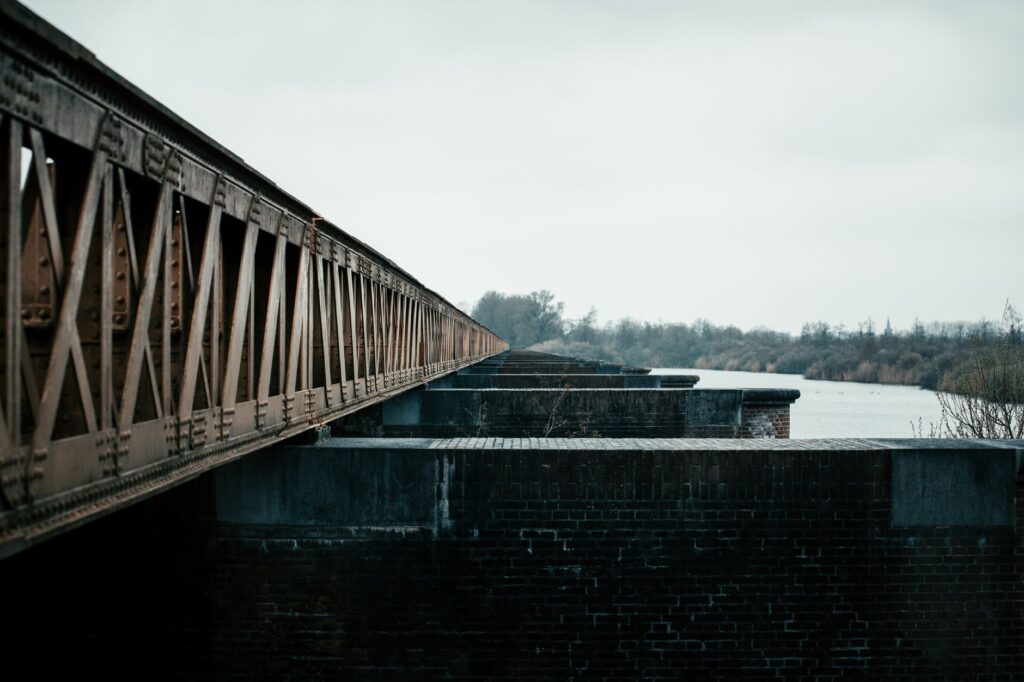
The technical transformation of the Senegal River reached its most ambitious milestone with the design of lock systems and dikes intended to regulate low water levels and permit the passage of deep-draft merchant steamers into the continental interior. Monumental masonry and wrought-iron structures, conceived in Parisian engineering bureaus during the Third Republic, still stand as silent witnesses to a golden age of steam navigation that today survives only in the memories of riverside elders.
These hydraulic works, although designed to boost regional commerce, introduced profound ecological disruptions directly impacting local fishers and recessional farmers. Artificial flood control hindered the natural soil fertilization provided by annual silt deposits, forcing a rethinking of transport and agricultural production models. Today, the maintenance of these historical locks and secondary channels constitutes a titanic logistical challenge managed by the Organization for the Development of the Senegal River (OMVS), an interstate body striving to balance commercial navigation, hydroelectric generation, and environmental preservation.
Despite the modernization of specific stretches and the establishment of cross-border agreements between Senegal, Mauritania, and Mali, large-scale commercial river transport has lost ground to road freight. Nevertheless, in remoter zones where asphalt has failed to take root, historical locks and river docks continue to fulfill an irreplaceable social function, enabling the transit of essential goods and passengers aboard smaller coastal cabotage vessels.
Port Architecture and Merchant Scales in Saint-Louis
At the Atlantic mouth, the island city of Saint-Louis preserves the urban and port layout that made it the undisputed capital of French West Africa during the nineteenth century. Exposed stone docks, flanked by commercial warehouses with ochre facades and wrought-iron balconies, narrate the history of an emporium where trans-Saharan caravan routes and transatlantic merchant fleets converged. The Faidherbe Bridge, a rotating metal structure inaugurated in 1897 and popularly misattributed to Gustave Eiffel’s workshops, remains the umbilical cord linking the historic island to the Barbary Spit and the mainland.
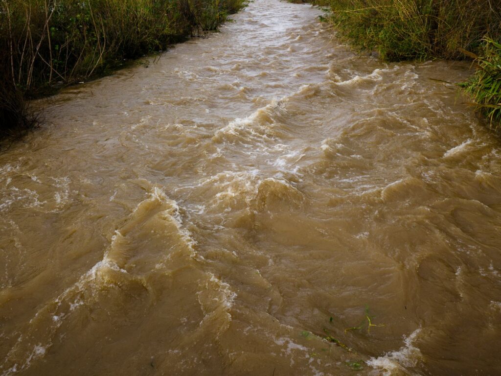
Activity along these historical docks maintains a measured yet steady rhythm. Minor transport barges offload dried fish from the north, sacks of millet harvested in the middle valley, and imported construction materials. This port dynamic reflects a constant transition between subsistence economies and interregional commerce, where pirogue captains act as both transporters and independent economic agents negotiating directly with local market wholesalers.
Saint-Louis’s relative decline as a deep-water port due to the silting of the river bar has not diminished its relevance as a symbolic logistical node. Local port authorities and private operators collaborate on quay revitalization projects to boost cultural tourism and ensure that cabotage navigation retains its vital space against urban pressure and coastal environmental degradation.
Barge Logistics and Coastal Cabotage Trade
Beyond major urban centers, heavy freight transport along the Senegal corridor relies on a heterogeneous fleet of metal barges and large, planked pirogues locally known as cargo chalupas. Capable of transporting several tons of cement, fuel, rice, and manufactured goods, these vessels operate through a complex network of fluvial cabotage supplying weekly markets in Podor, Matam, and Bakel.
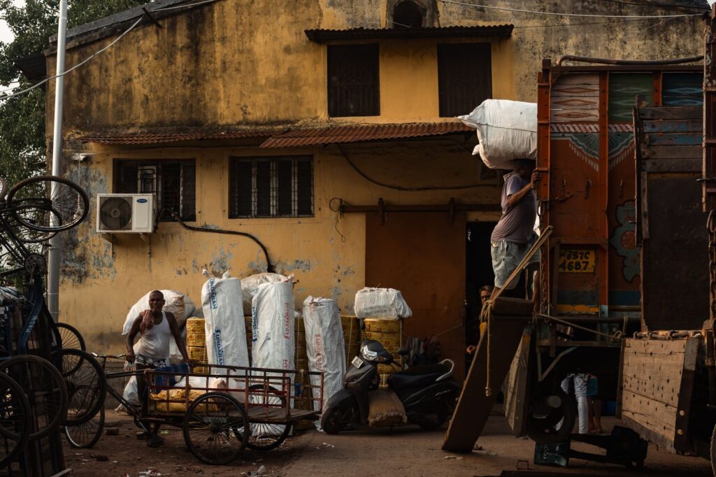
Logistical operations along these river routes are dictated by seasonal water levels and the expertise of captains who know by heart every shifting sandbar, submerged rock outcrop, and secondary current. Unlike terrestrial logistics networks—subject to severe wear on dirt tracks caused by torrential rains and the temporary isolation of vast regions—river transport offers an economical, high-capacity alternative essential for guaranteeing food security in the most arid zones of the valley.
Improvised docking points along the banks act as dynamic exchange hubs. Female porters, itinerant traders, and young dockworkers converge there in a precise choreography of manual offloading. This cabotage trade system not only sustains the monetary economy of riverside villages but preserves cross-border family and commercial ties among the Wolof, Pulaar, and Soninke communities inhabiting both banks of the international waterway.
Climatic Challenges and Riverbed Sustainability
The future of the Senegal River corridor is profoundly threatened by climate change and anthropogenic pressure on water resources. The progressive decline in precipitation within the upper basin, combined with accelerated evaporation in reservoirs and the overexploitation of subterranean aquifers, has drastically reduced minimum flows during the dry season, seriously compromising the navigability of deeper-draft vessels.
Likewise, the proliferation of invasive aquatic plants, particularly water hyacinth (Eichhornia crassipes), forms dense green carpets that block traditional navigation routes, suffocate fish populations, and multiply operational costs for fishers and river transporters. Mechanical and biological eradication campaigns promoted by the OMVS prove insufficient against the rapid spread of this species in waters eutrophied by heavy agricultural fertilizer runoff along the banks.
Faced with this critical juncture, environmental engineers and community leaders advocate for an integrated water resource management model prioritizing the ecological restoration of wetlands, coordinated cleaning of navigation channels, and the adoption of low-impact propulsion technologies for commercial vessels. The survival of the corridor depends not only on investment in heavy infrastructure, but on recovering the natural balance between the river and its floodplains.
Practical guide
How to get there: The primary access to the river corridor is through Blaise Diagne International Airport (DSS) in Dakar. From the capital, travelers can connect to Saint-Louis via shared taxi services (sept-places) or intercity buses in an approximate four- to five-hour road journey.
Best time to visit: November to February offers the mildest temperatures and optimal water levels following the summer flood, allowing smooth navigation along the middle course. The rainy season (July to September) should be avoided due to local flooding and disruptions in terrestrial access routes.
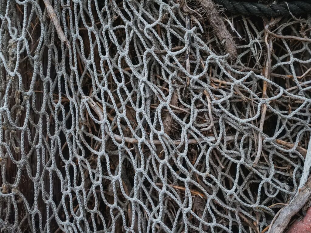
Fluvial transit: Excursions and cabotage trips aboard traditional pirogues should be arranged directly at the docks in Saint-Louis, Podor, or Bakel, agreeing on fares in advance with accredited local captains. Having one’s own life jacket and verifying meteorological conditions before setting sail is essential.
Health requirements: An international certificate of vaccination against yellow fever is mandatory. Malaria prophylaxis is strongly recommended, alongside strict precautions regarding bottled water consumption and cooked foods at riverside stalls.
Fluvial Epilogue: The Whisper of Water in the Sahelian Dusk
As the sun begins to dip over the immensity of the Sahel, staining the waters of the Senegal River with golden and copper reflections, activity along the banks assumes an almost liturgical cadence. The outlines of wooden pirogues cut sharply against the dusty horizon as fishers pull in their nets and the final passengers disembark at the clay docks. In that fleeting moment of pause between twilight and night, the river reveals its true essence: not merely as a transport route or an exploitable hydraulic resource, but as a patient witness to human memory that, for centuries, has linked the interior savanna with the vastness of the Atlantic Ocean in a perpetual embrace.