
Introduction to Southern Isolation
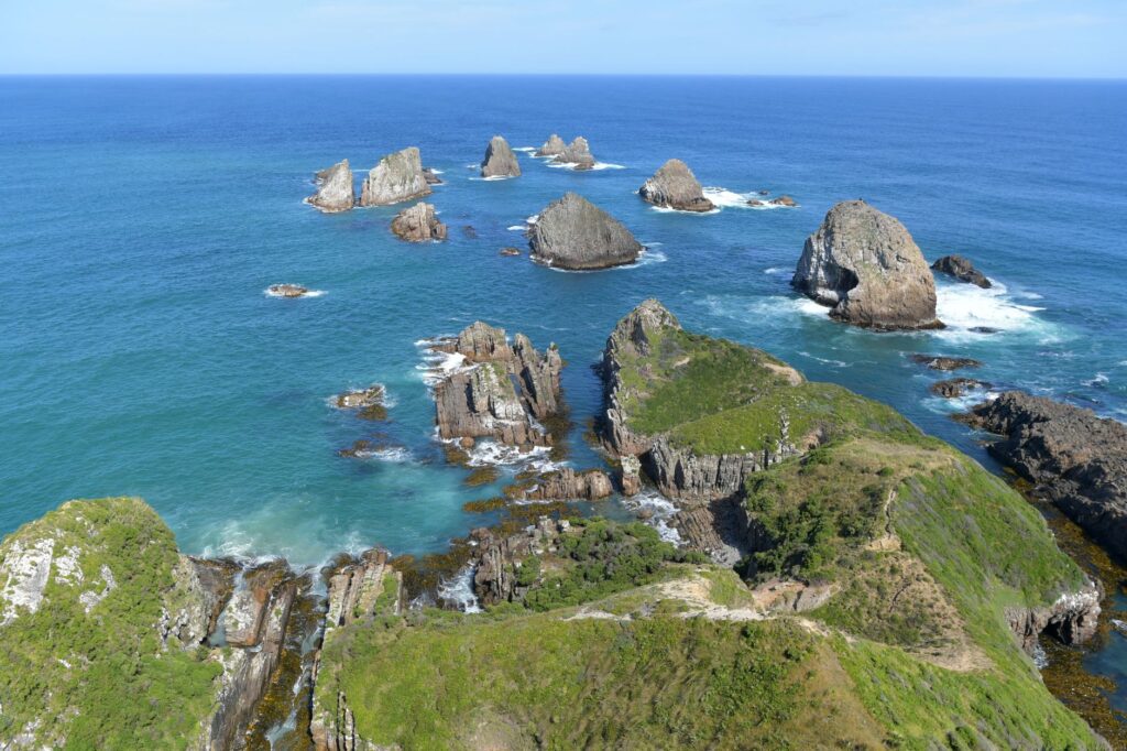
Eight hundred kilometers east of the continental coast of New Zealand, amid the grey expanse of the South Pacific Ocean, the Chatham Archipelago emerges as a bastion of geographical isolation and human resilience. Comprising primarily two inhabited islands, Chatham (Rekohu in the Moriori language) and Pitt (Rangiauria), this territory endures relentless gale-force winds and an unforgiving tidal regime. The economic and social survival of its communities depends entirely on a fragile intermodal fabric where transport is not a mere service, but the umbilical cord connecting the sparsely populated insular tundra with the rest of the world.
Analyzing mobility in this oceanic outpost requires understanding the severe constraints imposed by nature. Lacking deep-water ports capable of accommodating large container ships, logistical operations rely on a delicate balance between multipurpose cargo vessels, air connections conditioned by dirt runways, and an inter-island maritime flow that permanently defies the laws of minor navigation. Transport infrastructure here is redesigned daily according to the capricious tyranny of polar fronts and the marine currents of the deep south.
The Deep-Sea Maritime Route and the Challenge of Waitangi Wharf
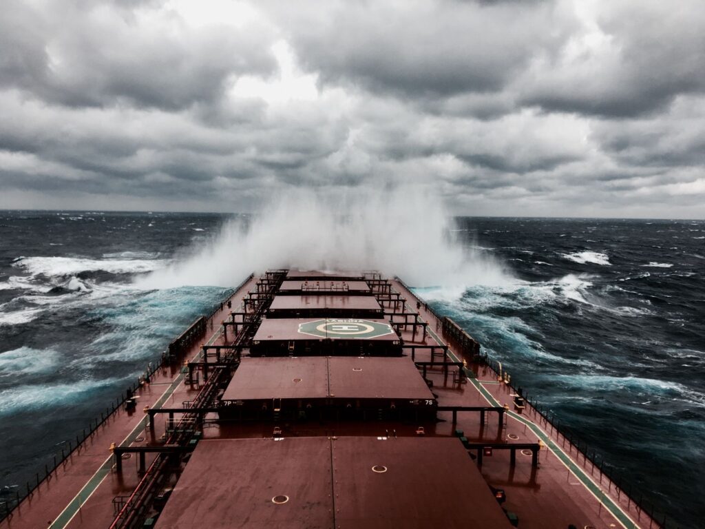
The supply of provisions, heavy machinery, and fuel for the approximately seven hundred residents of the islands falls upon reinforced cargo vessels that periodically depart from the New Zealand port of Timaru. This journey of more than forty hours of navigation crosses some of the most turbulent waters on the planet, where waves break with staggering force against the hulls of the supply ships. Arrival at Waitangi Wharf on Chatham Island represents a true technical and seamanship feat due to the absence of basins protected from westerly and southerly gales.
Unloading operations in Waitangi are carried out using mobile port cranes and a fleet of auxiliary launches that must operate with millimetric precision, taking advantage of tidal windows. Any miscalculation can result in the loss of valuable cargo or severe structural damage to the docks. This reliance on a single primary docking point turns the port into the Achilles’ heel of the local economy, especially when winter storms block the basin for weeks, delaying the export of coveted seafood and Chatham lamb.
The Loess Runways and Regional Aviation Links
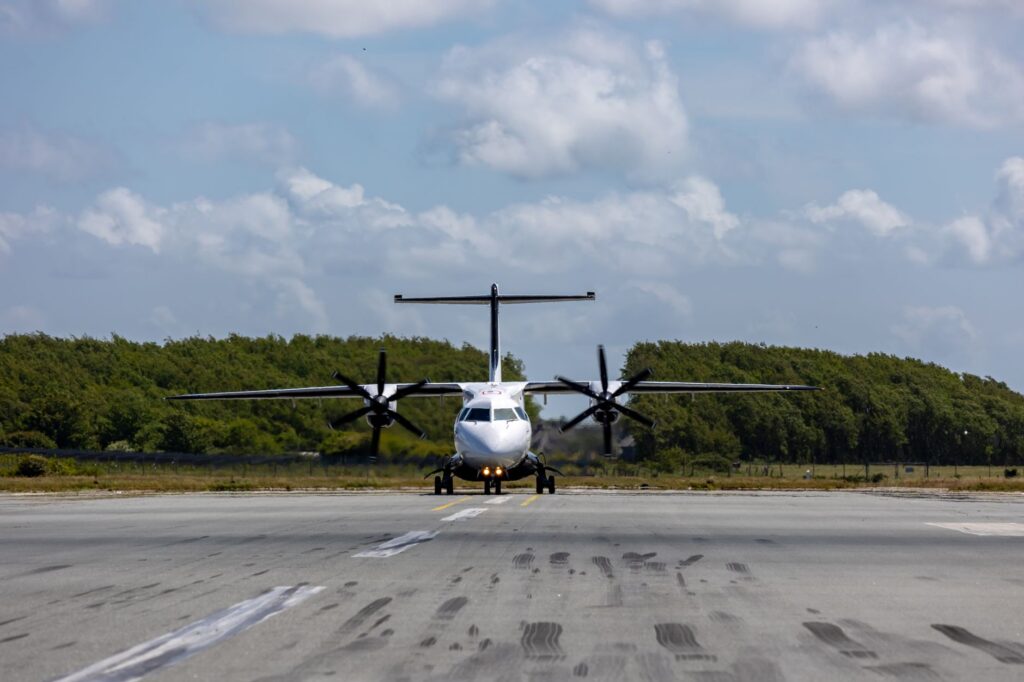
If the sea imposes a measured rhythm conditioned by wave action, air transport represents the fast track for passengers and urgent mail, albeit with its own geological and meteorological servitudes. The main airport of Tuuta, located on Chatham Island, features a paved runway that allows regular operation of commercial turboprops coming from Christchurch, Wellington, and Napier. However, crosswinds and persistent low cloud layers frequently force the cancellation or diversion of flights at the last moment, leaving travelers stranded in the terminals.
Even more complex is the internal connectivity toward neighboring Pitt Island, where commercial aircraft cannot land due to rugged topography. Instead, small utility planes operate on improvised landing strips set atop loess plateaus and natural grass meadows. These rustic airfields lack conventional control towers and rely on the visual expertise of pilots, who must assess the damp state of the terrain before each touchdown, proving that bush aviation remains very much alive well into the twenty-first century.
Inter-Island Navigation and Fiber-Reinforced Vessels
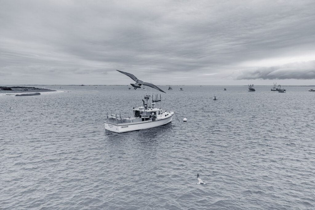
The transit of people and light goods between Chatham Island and Pitt Island is carried out using converted fishing boats and high-speed fiberglass launches capable of navigating the treacherous tidal channels separating both territories. This short-distance maritime journey, locally known as Pitt Strait, is famous for its cross currents and sudden changes in sea state, where short-period waves make navigation difficult even for the most experienced skippers.
These smaller vessels act as the true public transport of the archipelago, transferring farmers, teachers, scientists, and residents who need to handle administrative matters or visit family members. The safety of these crossings is underpinned by the accumulated experience of generations of local sailors, who read the water signals and seabird behavior to anticipate the sudden storms that sweep across the channel from one island to another.
Primary Sector Logistics and the Cold Chain
The economic viability of the archipelago rests on the export of high-value-added products, primarily rock lobster (Jasus edwardsii) and fresh fish, alongside exceptionally high-quality sheep and cattle meat. Maintaining the cold chain from the moment of offshore catch to arrival in international markets requires an integrated and highly synchronized logistics system. Refrigerated trucks must navigate secondary roads that are frequently muddy to connect processing centers with airport or port facilities.

Congestion or unforeseen delays in transport connections can spoil tons of fresh seafood, which has driven local cooperatives to invest in autonomous storage systems and backup generators at transfer points. This logistical vulnerability underscores the urgency of maintaining a versatile transport fleet adapted to extreme insularity, where every link in the cold chain is permanently threatened by weather conditions.
Road Maintenance Against Peat Erosion
The terrestrial road network of the Chatham Islands spans several hundred kilometers, divided between main paved roads and an extensive network of dirt, gravel, and compacted peat tracks. The clayey and organic nature of the insular soil makes the roadways extremely sensitive to persistent rainfall, causing deep potholes, sinkholes, and muddy areas impassable for conventional vehicles.
The local public works department deploys heavy machinery constantly to grade and stabilize roadbeds using local volcanic materials and crushed shells. The conservation of these communication routes is vital not only for freight transport, but for ensuring emergency service access to the most isolated rural holdings, proving that civil engineering in this environment is an endless maintenance labor against natural erosion.
Practical guide
How to get there: Regular air connections to Tuuta Airport are operated by Air Chathams from the New Zealand airports of Christchurch, Wellington, and Napier. Booking months in advance is essential due to the limited capacity of the aircraft and high seasonal demand.
Internal transport: Traveling around Chatham Island requires renting four-wheel-drive (4×4) all-terrain vehicles, as many accommodations and points of interest are only accessible via dirt and peat tracks. Transfers to Pitt Island must be coordinated in advance with authorized local marine operators and are subject to weather conditions.
Accommodation and services: Lodging availability is limited and concentrated in small guesthouses, rural lodges, and self-catered accommodations in and around Waitangi. There are no large hotel chains; advance booking typically includes full board or equipped kitchens.
When to travel: The austral summer (December to February) offers the most stable weather conditions, milder temperatures, and higher probabilities of flights and ferries operating without prolonged interruptions. Winter (June to August) is characterized by frequent storms and gale-force winds.
Logistical recommendations: Securing travel insurance covering medical evacuation and extended delays is strongly advised, as storms can trap visitors on the islands for several days beyond their scheduled itinerary. Respect for strict insular biosecurity regulations is mandatory.
Epilogue: The Human Pulse Against the Immensity
The Chatham Archipelago is not merely a remote destination on navigation charts; it is a living reminder that human connectivity is an act of daily willpower against the oblivion of the ocean.
When the afternoon’s last flight takes off toward the New Zealand Alpine range and the lights of Waitangi Wharf fade beneath the salty mist, the islands reclaim their ancestral silence. In that moment of stillness, the true value of the insular transport system is revealed in all its dimension: it is not merely about moving cargo or passengers, but about keeping alive the spark of community life in the most untameable outpost of the South Pacific.