The Caribbean Sea is not a monolithic sheet of blue, but rather a discontinuous canvas where coral geography dictates its own laws to those who dare traverse it with no motor other than the wind. Off Panama’s northeastern coast, the Guna Yala archipelago—traditionally known as San Blas—unfolds as a collection of over three hundred cays, atolls, and mangrove islands that defy conventional navigation. This labyrinth of turquoise waters, partially sheltered by an outer barrier reef, represents one of Central America’s most unique nautical challenges, where seamanship must be paired with absolute respect for the sociopolitical structure of the Guna people.
Approaching this aquatic territory on a fixed-keel sailboat requires understanding that commercial electronic cartography often falls short here. Shallow shoals, patch reefs, and sudden shifts in trade wind regimes demand meticulous planning. Far from functioning merely as a static postcard destination, San Blas operates as a living, self-sufficient ecosystem regulated by a general congress that jealously administers vessel traffic, artisanal fishing, and overnight anchoring. Analyzing approach routes, navigable channels, and entry protocols is not just a matter of nautical safety, but the foundational step to comprehending one of the western hemisphere’s most fascinating maritime experiences.
The Geopolitics of the Sea: Navigating Under Guna Autonomy
Entering the waters of Guna Yala means crossing an invisible border perfectly demarcated by history and Panamanian law. The indigenous comarca enjoys a political autonomy unique in Latin America, meaning the management of marine resources, collection of anchoring fees, and regulation of tourism rest entirely in the hands of local authorities known as comarca congresses and traditional leaders or sailas. For the navigator, this translates into inescapable administrative obligations that begin long before hoisting the sails.

Vessels coming from Colón or neighboring Colombia must check in at authorized control points, such as Porvenir or Cartí, to register the crew, pay per-person entry taxes, and acquire the corresponding navigation and photography permits. Ignoring these protocols not only invites severe penalties from the indigenous guard and the Panamanian National Aeronaval Service, but breaches the basic principle of reciprocity governing relationships within the archipelago. Guna sovereignty is not a bureaucratic abstraction; it is the protective shield that has warded off the mass tourism and environmental degradation plaguing other Caribbean enclaves.
Coral Cartography and Visual Water Reading
The greatest threat to any sailboat in San Blas is not seasonal tropical storms, but the silent trap of its coral reefs. The seabed shifts abruptly, dropping from oceanic depths of hundreds of meters to coral plateaus with barely a meter of clearance in a matter of seconds. Under these conditions, GPS and commercial chartplotters lose accuracy when compared to a resource as ancient as it is infallible: visual water reading from the height of the spreader or the bow deck.
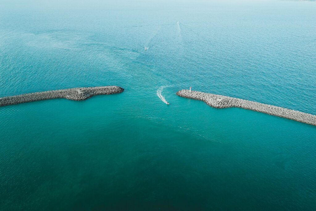
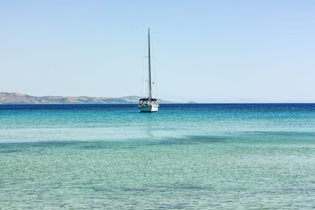
Sea color becomes the most reliable navigation instrument. Deep navy blue waters signal safety and depth; bright turquoise and light green tones warn of scattered coral heads or sandbars; while translucent ochre or brown indicates an imminent grounding hazard in the shoals. Navigation must take place strictly under zenithal sunlight, between nine in the morning and three in the afternoon, keeping the sun at the helmsman’s back to prevent glare. Entering an anchorage facing the sun is tantamount to navigating blind.
Trade Wind Logistics and Navigation Windows
The wind regime in the Panamanian Caribbean is dominated by northeast trade winds, blowing with peak intensity between December and April. During these months, sailing to windward can test the rig and crew to their limits, requiring numerous tacks through narrow channels flanked by reefs. Squalls channeled between islands can easily exceed twenty-five knots, kicking up short, steep chop that tests a vessel’s stability.
Conversely, the transitional season between May and November brings doldrums, sudden tropical downpours, and local thunderstorms associated with the Intertropical Convergence Zone. Although sea conditions tend to flatten, horizontal visibility drops dramatically during squalls, forcing the skipper to keep radar active or seek preventive anchorage at the nearest sheltered atoll until the front passes. Choosing the temporal window entirely defines the character of the journey: raw strength and technical challenge in winter; introspection and humid calm in summer.
Strategic Anchorages and Natural Refuges
Selecting a secure overnight spot in San Blas requires evaluating not only wave protection, but also seabed composition to ensure anchor holding. Among the standout anchorages is the Holandeses Cays (Narganá), a semicircle of outer reefs offering a magnificent barrier against northern swells, though demanding a highly technical entrance through a narrow coral gap.

Another enclave of immense logistical value is the Lemon Cays group further west, characterized by white sand and seagrass bottoms that ensure excellent holding. Nevertheless, tidal currents here can set up uncomfortable rolls during cycle shifts. Experienced mariners avoid anchoring too close to windward reefs, even when the water surface appears glass-flat, as underlying swells can break unexpectedly over the reef crest during spring tides. Constant consultation of local tide tables and satellite weather monitoring are non-negotiable routines.
Sustenance and Commerce in Floating Communities
Life in the archipelago revolves around densely populated island communities like Aguja, Chichime, and El Porvenir, where traditional cane-and-thatch architecture coexists with chronic scarcity of fresh water and standard electricity. For sailboat crews, these communities offer much more than geographical waypoints: they serve as replenishment hubs for fresh produce and a window into Guna material culture, highlighted by the creation of the famous molas—hand-sewn geometric textiles of astonishing chromatic precision.
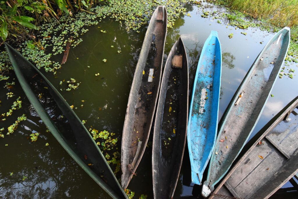
Commercial exchange follows strict cultural codes. Dugout canoes propelled by paddles or small outboard motors routinely approach sailboats offering lobsters, spider crabs, plantains, and freshly harvested coconuts. Using damaged low-denomination currency is strongly discouraged, and fair payment in cash or pre-agreed barter of non-perishable goods is encouraged. Cultural norms strictly forbid photographing residents—especially elderly women in traditional attire—without seeking explicit prior consent, an elementary sign of respect that distinguishes the good traveler from the intrusive tourist.
The sea is not a paved highway connecting two points; it is a complex organism that tolerates human presence solely under the strict condition of respecting its rhythms, its abysses, and its fragile living architecture.
Practical guide
Planning a sailboat expedition through the San Blas archipelago demands rigorous logistical preparation spanning legal documentation to technical provisioning on board.
Documentation and Access
Entering with a private or chartered vessel requires presenting the official port clearance from the previous port, valid passports for all crew members, manifest lists, and payment of comarca entry fees—roughly 20 USD per person and between 50 and 100 USD for the vessel depending on length, payable directly to Guna authorities ashore.
Provisions and Water
The archipelago lacks marine fuel supply facilities or large-scale desalinated drinking water stations. It is imperative to set sail from the mainland—typically Puerto Lindo, Linton Bay, or Shelter Bay Marina in Colón—with water and diesel tanks completely full, alongside fresh provisions for at least two weeks.
Safety and Communications
Cellular mobile coverage is intermittent and restricted to primary islands. Carrying a satellite phone or emergency messaging device (such as inReach or SPOT) is highly advisable, alongside an operational VHF marine radio tuned to channels 16 and 68 for inter-vessel communication and contact with local authorities.
The final glance at San Blas from the ship’s deck reveals a horizon where the emerald green of coconut palms merges with the cobalt blue of the continental shelf. There are no marinas with concrete docks or massive hotel developments; only the rhythmic sway of the anchor, the steady whisper of trade winds in the shrouds, and the certainty of having sailed through one of the last marine redoubts where nature and local culture preserve their sovereignty intact.