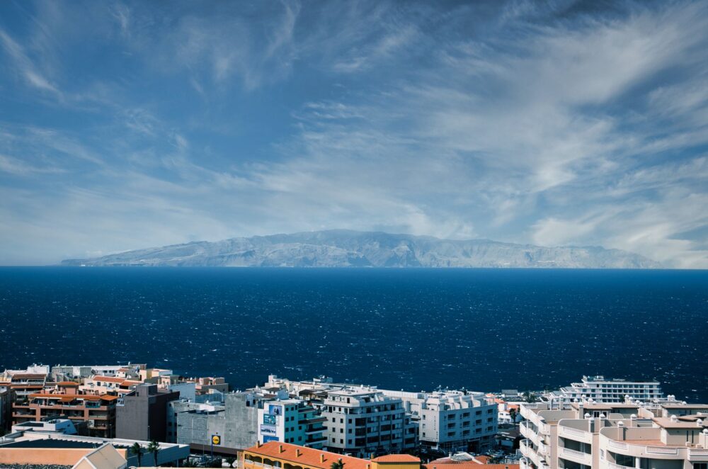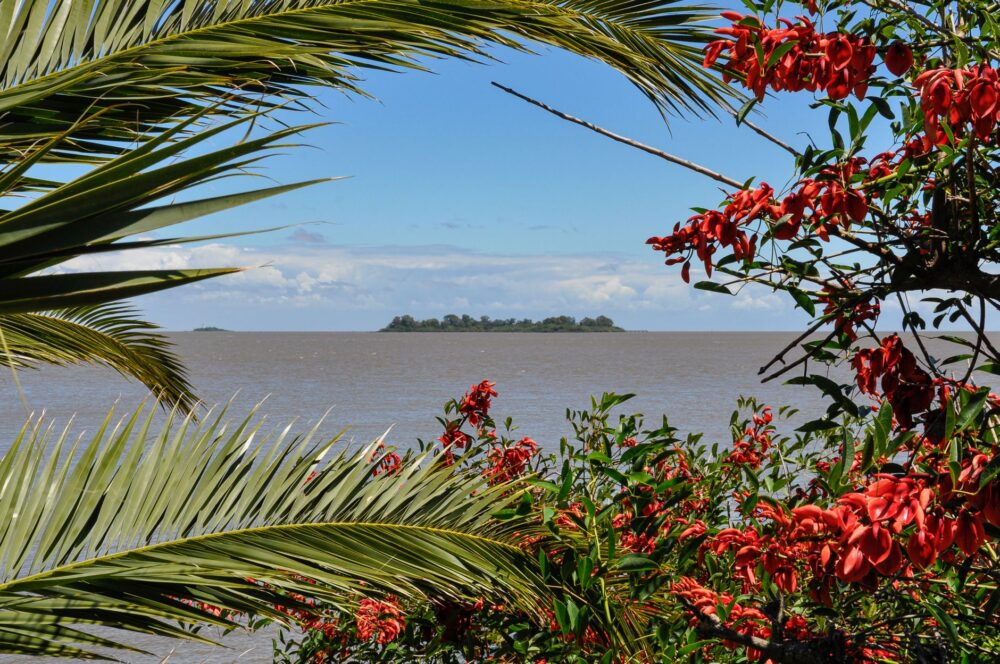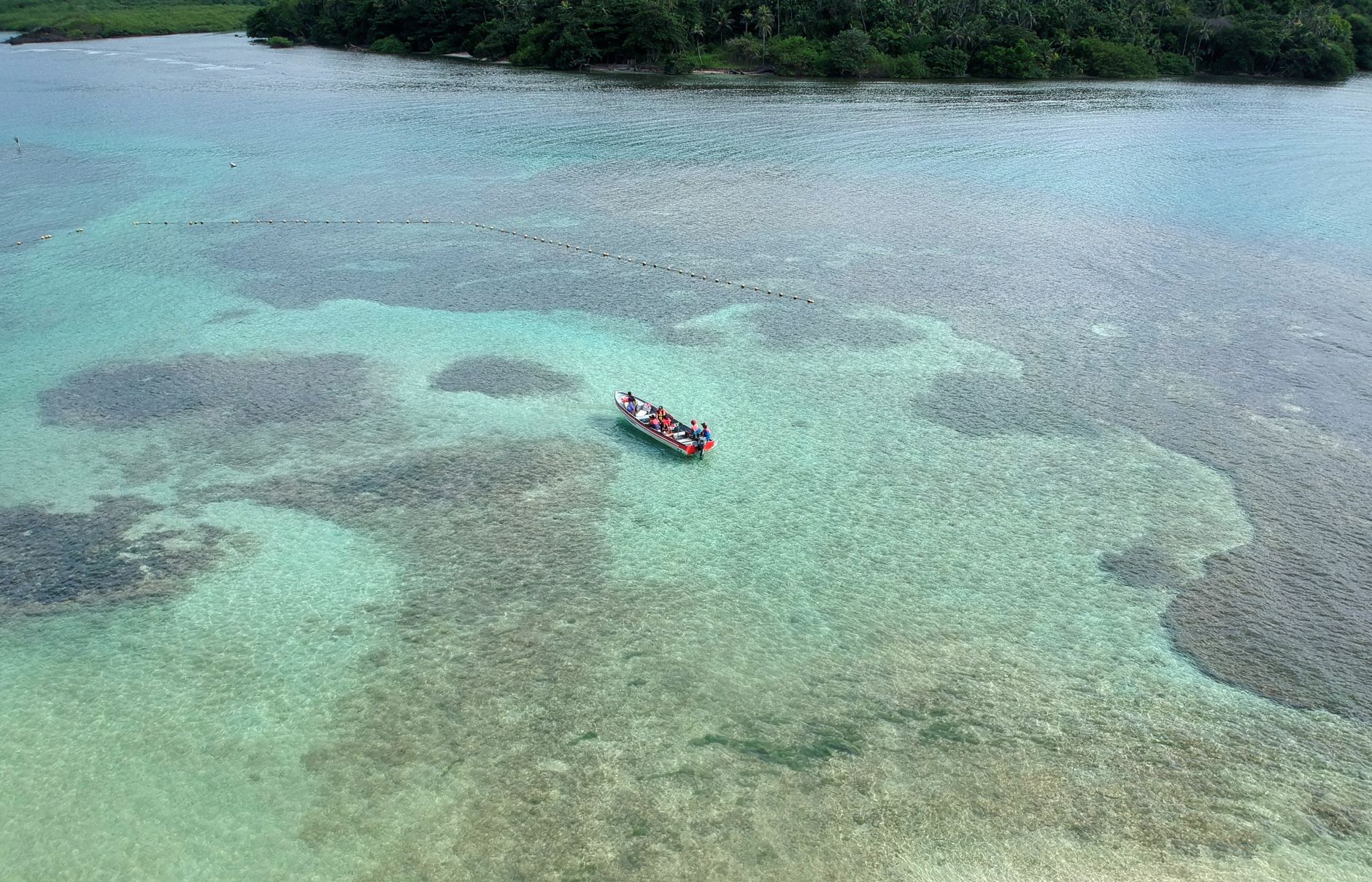

In the northeastern extremes of Panama, where the waters of the Caribbean Sea adopt impossible turquoise hues and break softly against a constellation of over three hundred coral cays, geography imposes its own rules of mobility. The San Blas Archipelago, officially known as the indigenous comarca of Guna Yala, is not a territory designed for the conventional standards of global transport. Here, asphalted highways, high-speed trains, and large airport terminals do not exist; the connectivity of this marine labyrinth relies on a delicate balance between the ancestral nautical expertise of the Guna people, the resilience of hand-carved canoes, and a network of short-haul aircraft defying packed-earth airstrips.
Understanding how the inhabitants of these islands and the few travelers venturing into their waters move daily requires abandoning the logic of urban immediacy. Every journey in this region of the Panamanian Caribbean serves as a reminder that distance is not measured in kilometers, but rather in meteorological conditions, tidal states, and the capacity to adapt to an insular environment as fragile as it is fascinating. This report examines the invisible arteries sustaining life across the comarca, stretching from continental ports in the San Blas mountain range to the floating docks of the most remote cays.
The Geography of Isolation and the Continental Challenge
The primary link in the transport chain toward Guna Yala lies on the mainland, crossing the San Blas mountain range. For decades, this densely forested mountain wall represented an almost insurmountable barrier between Panama City and the Caribbean coastline. The opening of the rough road descending from the mainland territory to embarkation ports—such as Cartí or Barsukun—radically transformed the region’s logistics, though it still demands four-wheel-drive vehicles due to steep slopes and recurrent damage caused by the tropical rainy season.
This terrestrial route, autonomously managed by traditional Guna authorities, acts as a vital funnel through which basic supplies, fuel, and food products not produced on the cays enter the region. Nevertheless, transit along this road is subject to strict local regulations and opening schedules designed to protect the ecosystem and regulate visitor flow. Local transporters must meticulously coordinate cargo transshipment from trucks and jeeps to the boats waiting on the coast.

The Nautical Architecture of Wooden Canoes
Once on the Caribbean coast, absolute dominance over mobility shifts to the water. The quintessential vessel in San Blas is the canoe, known locally as the ulu. Traditionally carved from a single mahogany or espavé tree trunk, these craft represent a masterpiece of empirical naval engineering. Guna artisans select timber specimens with profound respect for the tropical forest, calculating the buoyancy, length, and beam necessary to withstand both the tranquil reef waters and the open swells of the Caribbean Sea.
In recent decades, oar and sail propulsion have largely yielded ground to the arrival of high-power outboard motors. This motorization has drastically reduced navigation times between cays, allowing communities separated by several nautical miles to connect in a matter of minutes. Nonetheless, the use of these engines has increased dependence on fossil fuels, obliging local cooperatives to establish complex fuel supply routes arriving in metal drums via the same coastal transport barges.
The Evolution Toward Fiberglass Speedboats
Alongside traditional wooden canoes, the nautical landscape of San Blas has incorporated fiberglass speedboats, commercially known as modern piraguas. These vessels, equipped with higher gunwales and greater cargo capacity, have become the preferred public transport for moving passengers and heavy merchandise between the mainland and more distant cays such as Aguja, Perro, or El Porvenir.
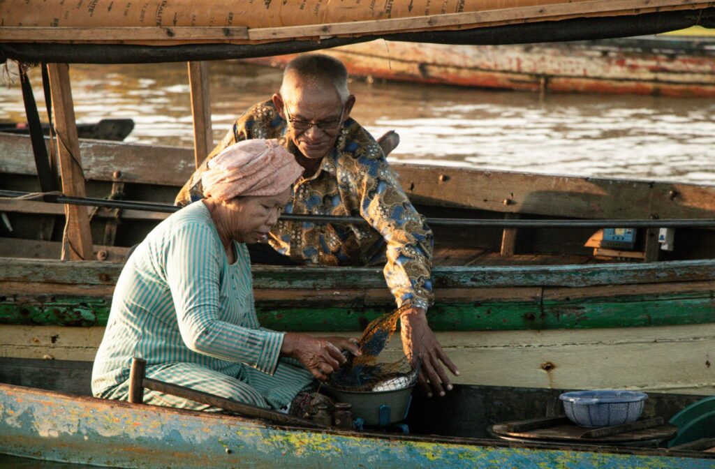
The coexistence of both boat types reflects the comarca’s duality: while wooden canoes remain irreplaceable for artisanal fishing and navigation in shallow waters among coral reefs, fiberglass speedboats guarantee the speed and transport volume required to sustain tourist flows and daily commercial communications.
The Aerial Pulse: Bush Planes, Coral Runways, and Logistical Nodes
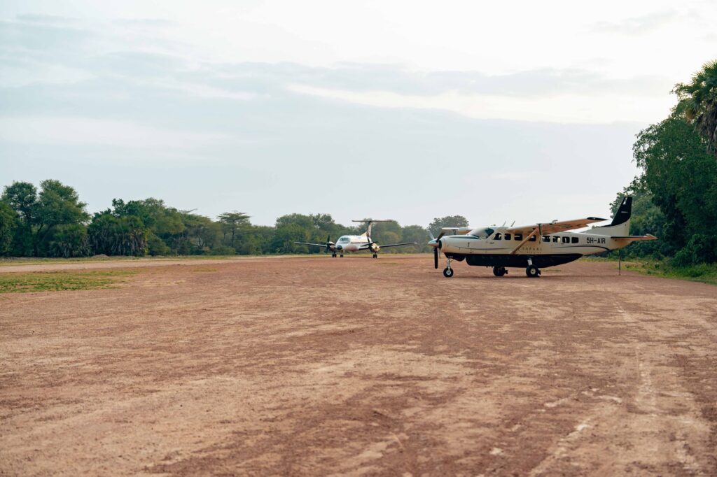
If maritime routes form the backbone of the archipelago, light aviation represents its fastest connection to the outside world. Small twin-engine and single-engine high-wing aircraft operate regularly from rudimentary airfields located on strategic islands such as El Porvenir, Corazón de Jesús, or Achutupu. These runways, often meager strips of tamped earth or crushed coral bordered by the sea, demand extraordinary skill from pilots.
Aerial operations in San Blas are permanently conditioned by meteorology. Intense trade winds, sudden tropical storms, and reduced visibility during the rainy season force frequent cancellations. For residents requiring urgent medical attention or for the transport of official samples and documents, these bush planes act as an indispensable umbilical cord against geographical remoteness.
The sea is not merely the landscape surrounding the Guna people; it is the highway, the source of sustenance, and the living archive of a culture that has turned the journey into its daily form of resistance.
Coordination between charter airlines taking off from Albrook Airport in Panama City and boat captains on the cays is an exercise in logistical precision operating without large IT systems, relying instead on VHF radio communication and decades of accumulated experience.
Dock Infrastructure and Coastal Vulnerability
The connectivity of a coral archipelago depends not only on the vehicles traversing it, but also on the points of contact with firm ground. In San Blas, port infrastructure is modest and, in many cases, precarious. Docks typically consist of wooden or concrete pile structures extending a few tens of meters into the sea to allow boat docking without damaging the fragile coral reefs near the shore.
However, rising sea levels and intensifying storm surges are testing the resilience of these artisanal piers. Several traditional jetties have suffered severe structural damage in recent years, forcing communities to rethink the location of landing points and seek more resistant materials, such as galvanized metal profiles, capable of withstanding marine corrosion and wave force.
The Impact of Tourism and Pressure on Traditional Routes
The surge in international tourism has profoundly transformed the transport system of San Blas. What were once exclusive routes for commercial exchange between Guna communities and coastal traders have become corridors frequented by travelers eager for pristine beaches. This tourist influx has generated a constant demand for express boats, altering local economic authorities and forcing regional authorities to strictly regulate fares and authorized routes.
The saturation of certain cays during peak season has demonstrated that the archipelago’s carrying capacity has strict physical limits. Fuel consumption, waste management generated by motorized transport, and erosion caused by the constant docking of heavy vessels are ecological challenges addressed by the comarca through community assemblies and the rigorous application of customary law.
Practical guide
Planning a trip or an exploratory journey to the Guna Yala comarca requires understanding that conventional transport rules do not apply in this autonomous territory.
Land Access: Entry by vehicle is carried out exclusively via 4×4 jeeps hired in Panama City. Conventional vehicles are neither authorized nor equipped to navigate the roads of the San Blas mountain range.
Transit Schedules: The main highway features checkpoints regulating traffic direction during specific time windows to prevent congestion in the jungle; departing before 5:00 AM is essential.
Maritime Navigation: Collective and private boats are hired directly at the ports of Cartí. Verifying life jackets and agreeing in advance whether the price includes cay island-hopping or only basic transfer is strongly recommended.
Regional Fees: Upon entering the territory, entry fees destined for the General Guna Congress and local facility maintenance must be paid in cash.
Digital Connectivity: Mobile phone signal is extremely limited or nonexistent across most outer cays; carrying downloaded offline maps and sufficient cash is advisable.
The Nautical Horizon of an Amphibious People
As the advancing century presents new environmental and economic challenges, the San Blas Archipelago keeps alive one of the most resilient amphibious cultures on the planet. The survival of its transport network lies not in the mass adoption of external technologies, but in the Guna’s capacity to negotiate with modernity without losing control of their marine territory. Every canoe crossing the reef, every flight landing on the coral airstrip, and every pier withstanding wave after wave testifies to the validity of a mobility system where autonomy and respect for the sea remain the fundamental compass.