Introduction to the Geological Fault Corridor
The Great Rift Valley in Kenya is not merely a tectonic scar visible from space; it is a dynamic corridor where geology dictates its own rules for transport engineering. From the highlands of Nairobi to the alkaline lakes at the bottom of the trench, connectivity has historically depended on titanic alignments that defy impossible slopes and extreme thermal variations. Naivasha stands as the central node of this logistical machinery, a point where the Trans-African highway, cargo railway branches, and the red-earth rural roads feeding regional horticultural markets converge.
Understanding mobility in this region requires shedding a purely tourist gaze to examine the steady flow of goods and people sustaining the local economy. Transport infrastructures here are not just thoroughfares, but vital arteries balancing rural isolation with the urgency of metropolitan commerce. Throughout this feature, we will analyze how these networks operate, the challenges faced by logistics operators, and the ways local populations navigate this fractured landscape on a daily basis.
The Imprint of the Historic Railway and Its Modern Evolution
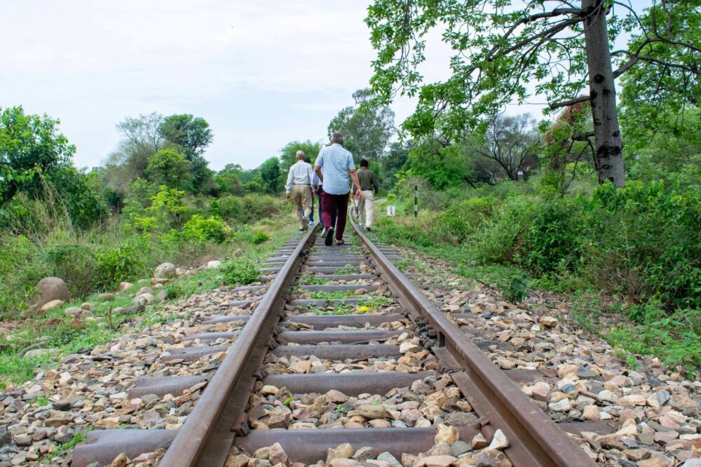
The history of modern transport in the Kenyan Rift is inextricably linked to the meter-gauge railway built in the late 19th century, popularly known as the Lunatic Express. That monumental British engineering feat opened the African interior to global commerce, transforming ephemeral settlements into consolidated urban hubs such as Naivasha and Nakuru. Today, railway infrastructure is undergoing a radical metamorphosis with the incorporation of the standard gauge railway, running parallel to old colonial alignments but with vastly superior cargo capacity and speed.
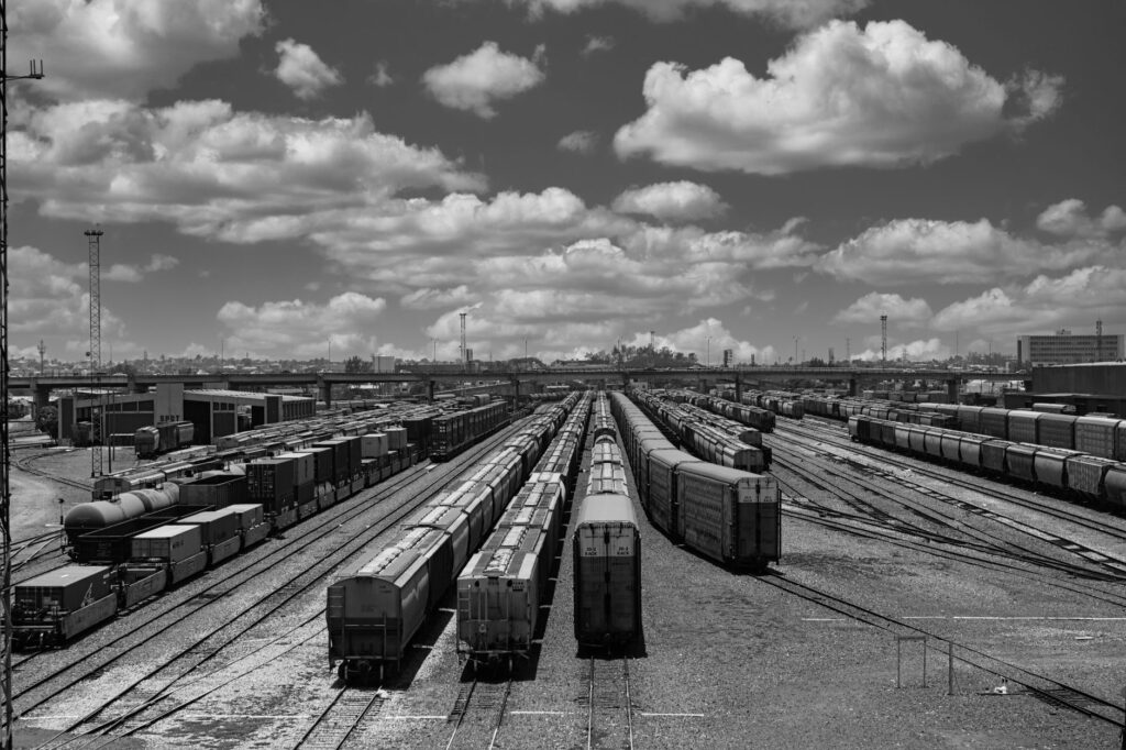
However, track modernization has not entirely erased the presence of the past. In many sections, old riveted steel bridges coexist with the prestressed concrete viaducts of the new line, creating a visual and functional dialogue between two eras of engineering. Local engineers and railway operators face the constant challenge of keeping both systems operational, dealing with unstable volcanic soils and erosion caused by the intense seasonal rains battering the valley floor.
Heavy Freight Logistics on the Trans-African Highway
The backbone of freight transport in the Naivasha corridor remains the A104 highway, an integral part of the Trans-African highway network connecting the Port of Mombasa with the interior of the continent. This asphalt artery daily bears the weight of thousands of heavy-duty trucks carrying containers, fuel, and agricultural produce toward Uganda, Rwanda, and the Democratic Republic of the Congo. Congestion at geographical bottlenecks, especially along the steep ascents and descents of the Kikuyu escarpment, turns logistics into a test of endurance for both drivers and vehicles.
Roadside service stations and truck stops in Naivasha act as floating cities where truckers from across East Africa converge. These enclaves are not merely refueling points, but complex economic hubs where spare parts are negotiated, customs permits are managed, and crew reliefs are organized. The digitalization of logistics processes and the implementation of satellite tracking systems have transformed fleet management, reducing transit times while intensifying pressure on drivers to meet deadlines along routes where mechanical and weather surprises are constant.

Lake Transport and Insular Connectivity on Lake Naivasha
While road and rail traffic roar along the slopes, the waters of Lake Naivasha harbor a fluvial transport system that is eminently local and specialized. Unlike major African lakes such as Victoria, Naivasha lacks large commercial ferries, but it features an active fleet of small craft, motorboats, and fisherman skiffs ensuring mobility between shores, lakeside flower farms, and Crescent Island. This cabotage navigation plays an irreplaceable role for workers residing in areas difficult to access by land due to periodic rising water levels.
The skippers of these vessels must possess deep knowledge of the lake’s shifting bathymetry, marked by proliferating floating water hyacinths and mobile sandbanks varying with each rainy season. Furthermore, sharing water routes with stable populations of hippos demands cautious and respectful navigation, where transport schedules adapt to local wildlife behavior. This synchronization between human needs and ecological rhythms defines the uniqueness of lake transport within this protected ecosystem.
Rural Mobility and Intermodal Transport in Regional Markets
Beyond major national infrastructure, the true stress test for connectivity in the Rift takes place on rural tracks and at intermodal transfer points. Local buses, popularly known as matatus, and rented motorcycles adapted as rural taxis form a capillary network connecting the most remote agricultural villages with the central markets of Naivasha and Gilgil. These vehicles travel along red-earth tracks turning into suffocating dust clouds during the dry season and impassable mudslides during the rains.
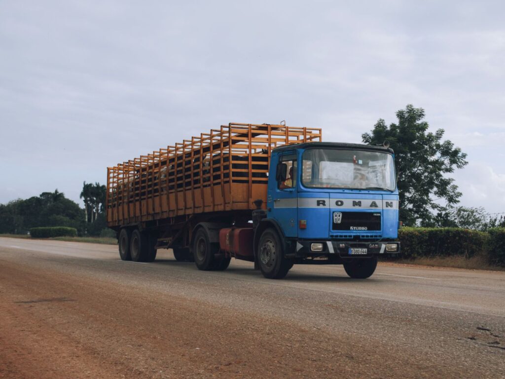
The efficiency of this last-mile transport relies on robust community organization and the operational flexibility of drivers, who adapt routes when bridges wash out or landslides occur. On market days, urban bus stations transform into human hives where sacks of potatoes, maize, and fresh vegetables are loaded onto regional distribution trucks. This constant flow demonstrates that connectivity in the Rift is sustained not solely by large capital investments, but by the daily resilience of local transport operators.
Environmental Challenges and Infrastructure Resilience Against Climate Change
Climate change has introduced an unpredictable variable into the planning and maintenance of transport infrastructure in the Rift Valley. Over the past decade, drastic fluctuations in lake levels have submerged entire stretches of secondary roads and historic rail tracks, forcing authorities to redesign alignments toward higher elevations. Civil engineers and geologists work around the clock to stabilize clay slopes prone to catastrophic landslides when precipitation exceeds historical averages.

Likewise, preserving wildlife corridors crossing transport routes represents an ecological challenge of the highest order. Vehicle collisions with large mammals and the fragmentation of natural habitats have driven the construction of elevated wildlife overpasses and the installation of smart signage along critical sections of the A104 highway. These efforts show that 2D transport development can no longer be conceived apart from environmental integrity and the protection of the unique ecosystems characterizing this sector of the continent.
Practical guide
How to get there: The main access to the Naivasha corridor is through Jomo Kenyatta International Airport in Nairobi, located approximately 90 kilometers away by road via the A104 highway.
Internal transport options: Exploring the region involves combining medium-distance intercity bus services, renting four-wheel-drive vehicles with a local driver, or using commuter rail networks when regular passenger schedules operate.

Documentation and requirements: It is essential to carry a valid passport with at least six months’ validity, an electronic travel authorization (eTA) for Kenya processed in advance, and a yellow fever vaccination certificate if arriving from endemic areas.
Best time to visit: The months from January to March and July to October offer more stable weather conditions, with reduced rainfall facilitating transit along rural dirt tracks and secondary roads.
Visual and Human Epilogue on the Escarpment Horizon
As the sun begins to dip behind the abrupt contours of the Rift’s western escarpment, casting long shadows over the acacia plain and metallic flashes from the train tracks, the day’s logistical frenzy gives way to a silent truce. By the highway shoulders, the last freight trucks secure their tarps while drivers share hot tea at small makeshift stalls beside the asphalt. This moment of pause reveals the true human face of a transport corridor that never fully sleeps. The iron tracks, worn asphalt, and water routes are not mere technical artifacts devoid of soul, but the living fabric uniting the aspirations of entire communities with the vast pulse of Africa, reminding us that traveling and connecting are, in essence, ways of staying anchored to the earth we walk upon.