
The Untamed Geography of the White Cliffs
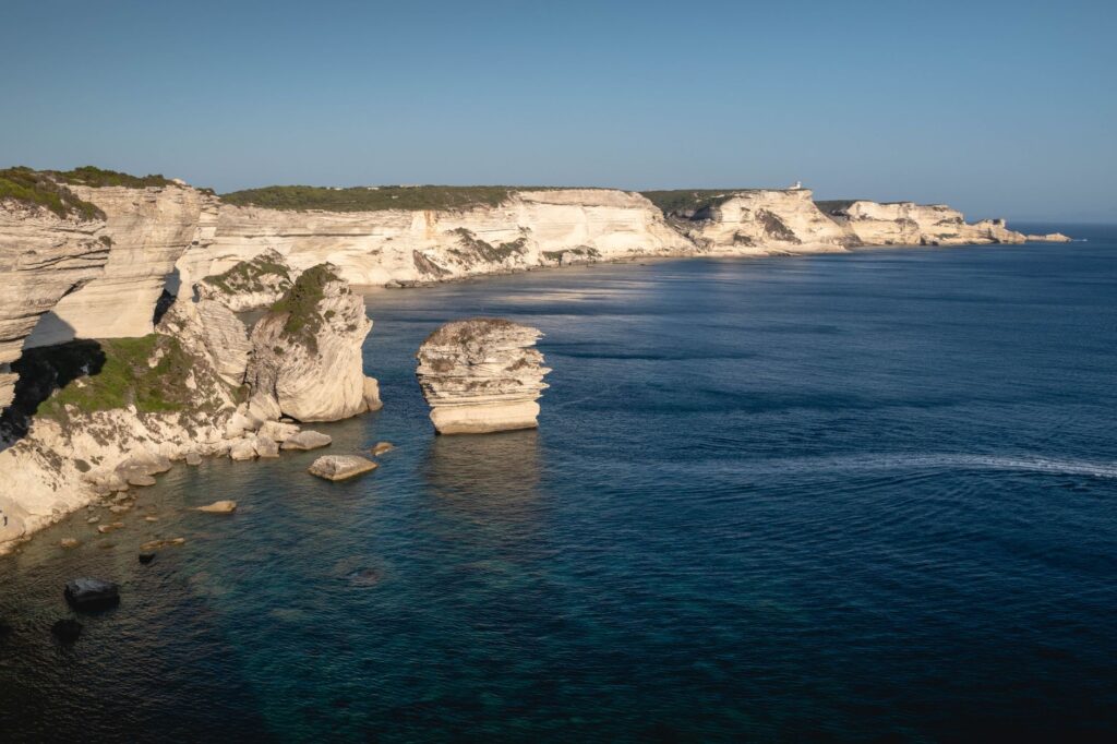
The Strait of Bonifacio is not merely a strip of water separating two sister islands; it is a geological abyss where westerly and easterly winds collide with ancient violence, carving limestone rock into capricious shapes that defy balance. In this southern confine of Corsica, human survival has historically depended on mastery of cabotage navigation. The marine currents sweeping through these waters reach speeds capable of diverting the trajectory of any minor vessel, turning daily transit into a millimetric choreography where the expertise of local sailors remains indispensable to keeping coastal communities alive.
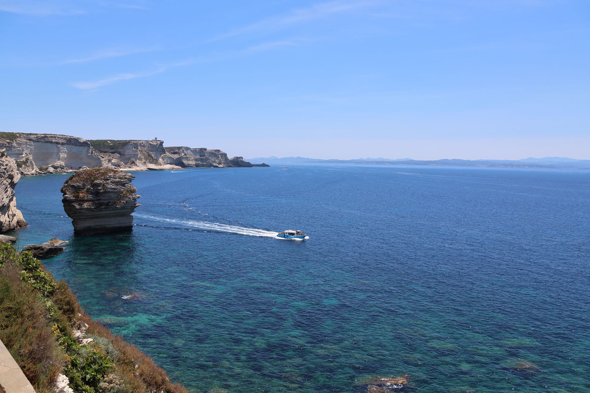
From the imposing citadel of Bonifacio, hanging precariously over a sheer white limestone cliff sculpted by salt spray, the perspective of the sea acquires a tactical dimension. The inhabitants of this stronghold have watched for centuries as commerce, food provisioning, and cultural exchange depend entirely on the state of the sea. Today, amphibious connectivity continues to dictate the daily pulse of the region, intertwining the lives of artisanal fishermen with the captains of large ferries connecting the French port of Bonifacio with the Sardinian town of Santa Teresa di Gallura.
The Shelter Harbor and Basin Architecture
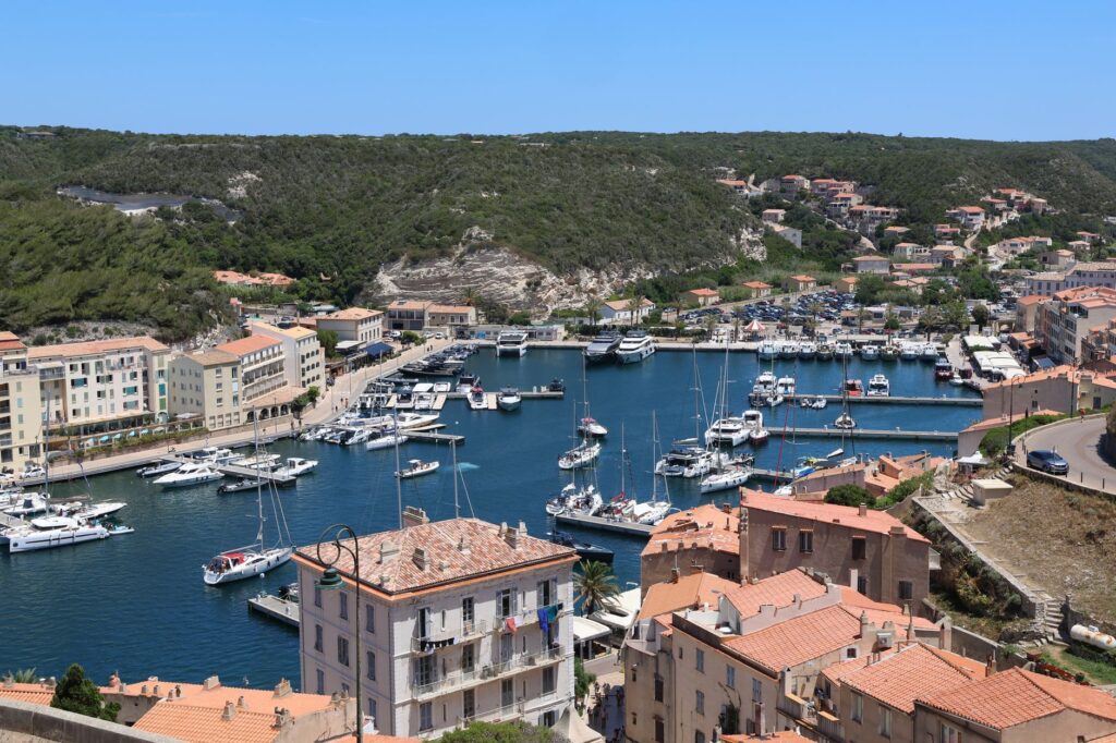
Immersing oneself in the basin of Bonifacio is stepping into a natural fjord deeply carved into limestone rock, a millenary refuge that has shielded entire fleets from the most relentless storms of the Tyrrhenian Sea. This sheltered harbor, invisible from the open ocean until the narrow mouth is crossed, acts as the true beating heart of the southern insular economy. Port infrastructure combines historical ashlar stone docks with modern floating pontoons, specifically engineered to withstand the impact of spring tides and the sudden summer gales that lash the channel.
Along the docks, routine begins before dawn with the arrival of fishing boats returning from anchoring off the Lavezzi islets. Fishermen unload their catches under the watchful eye of local restaurateurs, in a ritual where product freshness dictates the rhythm of Corsican gastronomy. Simultaneously, port operators prepare the docking ramps to receive the first ferry from Sardinia, a steel giant maneuvering with extreme precision in the constrained basin space thanks to the constant assistance of harbor pilots and powerful tugboats.
The Logistics of High-Seas Ferries
The regular shipping line linking Corsica with northern Sardinia represents the indispensable umbilical cord for heavy cargo, vehicles, and continuous passenger transit. During the summer months, the frequency of these journeys doubles to absorb tourist demand, forcing port authorities to optimize every minute of loading and unloading operations ashore. Synchronization between the captaincies of both ports prevents logistical collapses in a channel where weather conditions can force the temporary suspension of service without prior notice, proving that nature continues to set the rules in this international maritime corridor.
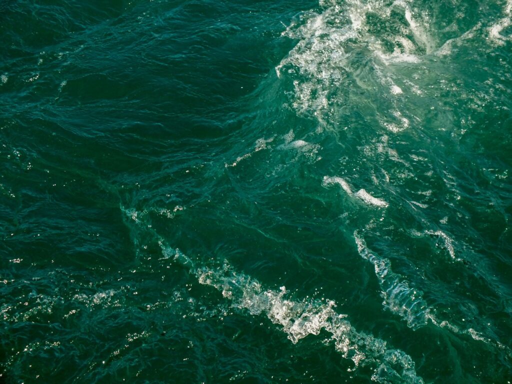
Aboard these vessels, the atmosphere combines commercial urgency with the calm of travelers gazing at the silhouetted cliffs. Naval engineers operating this route must contend with complex bathymetry characterized by treacherous shallows, such as the Lavezzi reefs, where countless wrecks lie as silent witnesses to historical disasters. Dynamic positioning technology and state-of-the-art radar have become everyday tools for navigating an aquatic labyrinth that tolerates neither calculation errors nor overconfidence.
Amphibious Life on the Lavezzi Islets
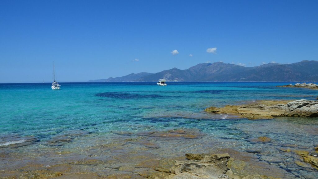
Beyond the main coast, the Lavezzi archipelago constitutes a natural sanctuary where amphibious connectivity acquires a purely ecological and seasonal nuance. These granite islands, devoid of permanent freshwater sources, are inhabited only temporarily by marine park rangers and sailors seeking momentary shelter in their turquoise coves. Light boats and authorized rubber dinghies are the sole means capable of bypassing the maze of submerged rocks surrounding this fragile ecosystem protected against human overpopulation.
The provisioning of lighthouses and reserve wardens is carried out via specially adapted cabotage launches capable of anchoring in shallow waters. This maritime umbilical cord operates under strict environmental regulations to preserve endemic flora and the Posidonia oceanica meadows carpeting the seabed. Life on Lavezzi teaches a lesson of humility and direct dependence on the elements: every liter of fuel, every ration of food, and every mechanical spare part arrives exclusively when sea state and wind direction permit.
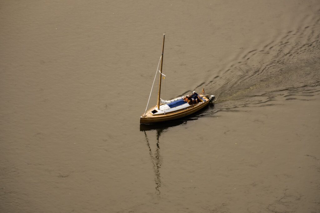
The sea of Bonifacio is not crossed; one negotiates with it every morning through absolute respect for its currents and the patience of old sea dogs.
This vital dependence shapes the character of crews operating in southern Corsica. Far from the breakneck speed of modern air transport, the rhythm of navigation in this strait is dictated by the slow hands of tide clocks and the intuitive reading of changing western Mediterranean skies. Veteran captains pass down the secrets of every shoal and the exact approach to port mouths when westerly winds blow with hurricane force.
Submerged Heritage and the Memory of Shipwrecks
The seabed of the Bonifacio Strait holds a tragic and fascinating memory composed of hundreds of wrecks from all eras, ranging from Roman triremes to twentieth-century battleships. The most famous case is the sinking of the French frigate *Sémillante* in 1855, when a severe storm drove the vessel against the Lavezzi reefs, claiming the lives of over seven hundred souls. This traumatic episode spurred the radical modernization of maritime buoyage across the entire archipelago, transforming the coast into one of the best-monitored and signaled areas in the western Mediterranean.
Today, specialized divers and underwater archaeologists collaborate with local institutions to document and protect this submerged heritage, stretching across the deepest underwater corridors of the strait. Diving on these wrecks requires rigorous technical preparation due to crosscurrents constantly sweeping rock walls. Each recovered artifact cataloged in Bonifacio’s maritime museums adds a new chapter to the history of a passage that has witnessed European naval history unfold across its turbulent waters.
Practical guide
Planning a journey focused on the maritime exploration and amphibious connectivity of southern Corsica requires understanding its logistical and seasonal particularities. Below are the fundamental keys to exploring this territory with rigor and safety.
How to Get There and Maritime Connections
Primary maritime access is achieved through the port of Bonifacio or via Figari-Sud Corse airport, located just twenty kilometers from the citadel. The ferry route operated by companies such as Moby Lines or Corsica Línea connects Bonifacio with Santa Teresa di Gallura in Sardinia in approximately fifty minutes, though departures remain subject to daily weather reports. It is essential to book vehicle tickets in advance when traveling during the summer season, and checking maritime traffic status on official port authority screens before heading to the docks is always advised.
When to Travel and Seasonality
The optimal window for exploring the strait spans the months of May, June, September, and October, when tourist influx drops noticeably and navigation conditions stabilize. July and August concentrate peak recreational and commercial nautical traffic, increasing congestion in the main basin. During winter, westerly winds and easterly gales can interrupt cabotage navigation for several consecutive days, making itinerary flexibility highly recommended.
- Recommended documentation: Valid national ID or passport and European Health Insurance Card.
- Essential luggage: Technical windbreaker clothing, deck shoes with slip-resistant soles, and waterproof dry bags for electronic devices.
- Safety advice: Never underestimate wind warnings issued by Meteo-France in the strait sector.
- Local transport: Rental of rigid-hulled inflatable boats with a local skipper to access protected Lavezzi coves.
- Official currency: Euro (€), with widespread acceptance of electronic payments in local ports and shops.
Traveling by sea in Corsica means understanding that the destination is never a fixed point on a map, but the delicate balance between human will and the infinite immensity of the ocean.
At the end of the journey, when the sun begins to dye Bonifacio’s cliffs in fiery hues and the lights of cabotage vessels trace silver wakes across the dark water surface, the visitor grasps the true essence of this insular confine. Here, amphibious mobility is not merely a matter of engineering or commercial logistics, but a way of life forged through oars, engines, and salt, where every crossing perpetuates the indissoluble bond between two worlds separated and united by the same sea.