
Introduction to Isolation and Connectivity in the Mid-Atlantic
The Azores archipelago, located more than fifteen hundred kilometers off the continental European coast, represents one of the most unique and challenging insular environments in the North Atlantic Ocean. Composed of nine volcanic islands divided into three main groups—eastern, central, and western—life, commerce, and tourism in this territory depend critically on a maritime transport network as complex as it is fascinating. Far from concrete highways and high-speed trains, the traveler who chooses to cross Azorean waters aboard scheduled ferries steps into a navigation system dictated by the relentless force of the open sea, changing subtropical weather, and a seafaring tradition forged over centuries.
Understanding the dynamics of island navigation in the Azores requires abandoning any expectation of British punctuality or continental predictability. The routes, operated primarily by the regional shipping company Atlânticoline, connect volcanic island ports in a ballet of steel, salt spray, and respect for the elements. This report rigorously examines the logistics, technical challenges, and experience of journeying across this Atlantic frontier through its regular maritime transport system, offering an indispensable perspective for those seeking an authentic approach to Portuguese insularity.
The Maritime Geography of the Azores: Distances and Open-Sea Currents
The Azorean maritime territory covers a colossal oceanic surface. Distances between the eastern group—formed by São Miguel and Santa Maria—and the central group—including Terceira, Graciosa, São Jorge, Pico, and Faial—far exceed short-haul crossings, while the leap to the western group, comprising Flores and Corvo, constitutes a true oceanic voyage lasting several hours depending on sea states.

The Gulf Stream and atmospheric fronts from the North Atlantic converge in these latitudes, generating heavy groundswells that test both vessels and passenger resilience. Modern line ferries, equipped with advanced stabilization systems, have significantly reduced the motion sickness common in the past, but the unpredictable nature of the Atlantic continues to dictate timetables. Understanding the peculiarities of each maritime channel, such as the channel between Pico and Faial locally known as O Canal, is essential for evaluating the feasibility of any itinerary.
Vessel Typology and Regular Cabotage Services
The fleet operating regular lines in the Azores combines high-speed passenger catamarans with ro-pax vessels capable of simultaneously transporting passengers, rental vehicles, and general cargo. During the summer season, running typically from June to September, frequencies multiply to absorb the influx of travelers and residents, whereas in winter months service is drastically reduced, remaining dependent entirely on favorable weather windows.
On board, infrastructure is designed for journeys ranging from thirty minutes to four hours. Numbered seating lounges coexist with outer decks where spotting cetaceans is commonplace, as the Azores constitute one of the world’s premier whale and dolphin sanctuaries. Ticket management, advance booking for vehicle slots, and understanding cancellation policies due to adverse weather are basic pillars every traveler must master before boarding.
Port Infrastructure: Breakwaters and Volcanic Landfalls
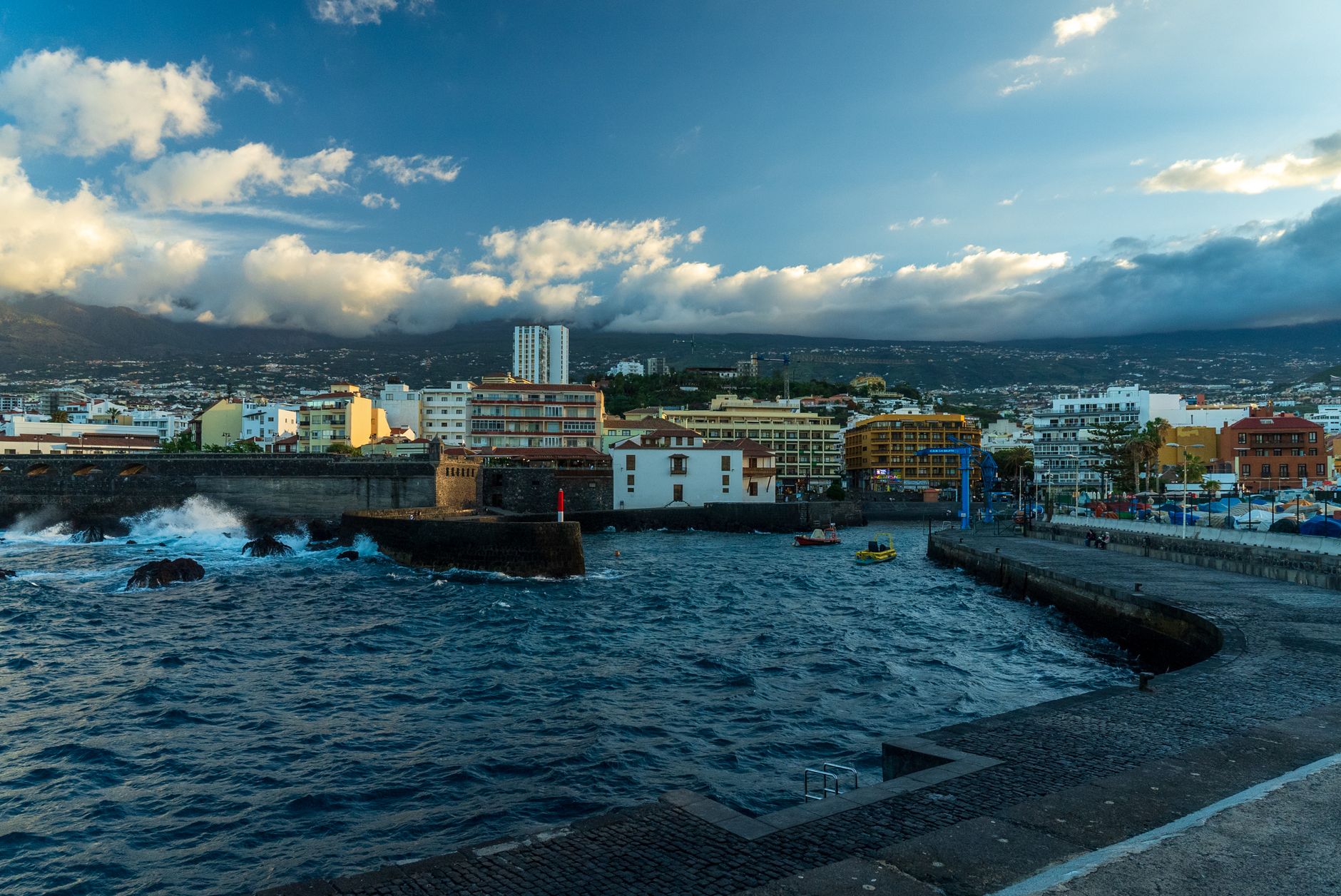
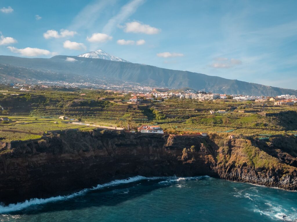
Azorean ports are not sprawling industrial basins, but rather shelters carved with complex engineering into basaltic cliffs and cooled lava flows. From the port of Velas in São Jorge to the dock at Santa Cruz das Flores, each port of call presents unique morphological features. Expansion and modernization projects undertaken in recent decades have improved docking safety, but maneuverability still demands mastery from captains when gusty winds blow fiercely from the western quadrant.
The sea in the Azores is not merely a scenic backdrop; it is the vital artery connecting isolated island communities and the inexorable measure of island time.
Arriving by sea at islands like Corvo—the archipelago’s smallest—or the dizzying slopes of Flores offers an incomparable visual perspective of island volcanic architecture. Passengers disembark directly into the heart of seafaring villages, where port activity dictates the community’s daily rhythm, from the arrival of fresh catches to the supply of essential goods originating from continental Europe.
Seasonal Planning and Management of Weather Contingencies
One of the biggest mistakes made by inexperienced travelers is designing an Azores itinerary with the chronological rigidity typical of a Central European train journey. The cancellation of crossings due to heavy swell weather warnings—locally known as temporais—is a frequent occurrence, especially outside the core summer months. Therefore, flexibility in accommodation bookings and securing internal flight connections as a contingency plan are absolutely mandatory.
Regional meteorological services issue daily updated bulletins that shipping companies scrutinize meticulously before authorizing vessel departures. Knowing how to interpret these forecasts, as well as understanding refund and rescheduling protocols in case of service suspension, ensures that a disrupted maritime route does not turn into a logistic crisis, but rather an opportunity to calmly explore whatever island one happens to be stranded on.

Key Central Group Connections: The Insular Triangle
The beating heart of the Azorean maritime transport network is the so-called «triangle,» formed by the islands of Faial, Pico, and São Jorge. Separated by relatively narrow channels of abyssal depth, these three islands maintain a high-frequency ferry system enabling even same-day round-trip excursions. The town of Horta in Faial, with its historic harbor and celebrated Peter Café Sport, acts as the nerve center of this nautical network.
The crossing between Madalena (Pico) and Horta (Faial) is arguably the archipelago’s busiest maritime route, with journeys barely exceeding half an hour beneath the imposing silhouette of Mount Pico, Portugal’s highest peak. This high frequency facilitates seamless intermodality, allowing travelers to combine hiking across volcanic ridges with exploring UNESCO-protected vineyards without permanently relying on private vehicles on every island.
Socioeconomic Impact of Maritime Transport on Local Communities
Beyond its tourist appeal, scheduled ferries are the umbilical cord guaranteeing the social and economic cohesion of the Azores. The supply of fuel, pharmaceuticals, fresh food, and construction materials relies almost exclusively on the merchant fleet and ro-pax ferries. Without this infrastructure, life on peripheral islands like Graciosa or Santa Maria would be unviable under modern standards of well-being.

Maritime transport in the Azores does not respond to strict commercial profitability criteria, but rather to a public service obligation indispensable for guaranteeing equal opportunities for its inhabitants.
This public service commitment is reflected in state subsidies regulating resident fares and ensuring affordable pricing for non-resident passengers, fostering sustainable tourism respectful of the fragile carrying capacity of these Atlantic island ecosystems.
Practical guide
How to get there: Primary access to the archipelago is via international flights connecting São Miguel (PDL) and Terceira (TER) airports with Lisbon, Porto, and various North American and European cities. Once in the archipelago, Atlânticoline’s ferry network and SATA Air Açores inter-island flights enable travel among the nine islands.
When to travel: The optimal season for regular maritime navigation runs from June to September, when sea conditions are most stable and ferry frequencies peak. Outside this period, services are drastically reduced due to winter gales.
Ticket booking: It is imperative to purchase ferry tickets months in advance when traveling in summer, especially if transporting a rental vehicle, as ferry holds have very limited slots. Checking shipping company official websites daily for potential schedule adjustments is strongly recommended.
Luggage and seasickness: Although modern vessels are stable, carrying motion sickness medication is advised if prone to seasickness, particularly on longer journeys between the central and western groups. Onboard luggage handling is generally similar to regional rail transport, permitting carry-on bags and checked luggage depending on vessel typology.
The Atlantic Pulse: Final Reflections on Insular Navigation
Traveling through the Azores via its maritime transport network radically transforms the territorial experience. It is not merely a means to get from point A to point B, but a direct immersion into the oceanic reality defining Azorean identity. Feeling the vibration of the engines as you cast off from port, watching the mist dissipate over volcanic cliffs, and sharing the deck with locals returning home restores a leisurely temporal dimension to the traveler, where the ocean’s rhythm supersedes modern haste and every crossing serves as a humbling reminder of our small place before the vastness of the sea.