
Introduction to Equatorial Guinea’s Atlantic Frontier
At the northeastern tip of the Gulf of Guinea, where the African continental shelf yields its dominion to the Atlantic abyss, rises the island of Bioko. This volcanic stronghold, formerly known as Fernando Poo, represents one of the most unique and geologically impressive geographies in Central Africa. Its relief, marked by steep peaks exceeding three thousand meters in altitude and deep valleys sculpted by torrential rains, has historically conditioned how its inhabitants travel, trade, and communicate with the outside world. Connectivity on Bioko is not merely a matter of road infrastructure; it is a delicate balance between the force of the ocean, the capricious basaltic topography, and the persistence of a population that has learned to read the signals of the sea for centuries.
The relative isolation of the island, separated from the continental territory by more than one hundred and sixty kilometers of open water, has turned its ports and anchorages into true lifelines. From small fishing boats defying the currents of the strait to large cargo ships and high-seas ferries docking in the capital basins, the economic and social pulse of Bioko beats to the rhythm of the tides. Understanding this territory requires delving into its port architecture, the cabotage routes linking the northern coast with the steepest southern enclaves, and the complex engineering required to overcome the impenetrable barrier of the equatorial jungle.
Volcanic Geography as a Determinant of Transit
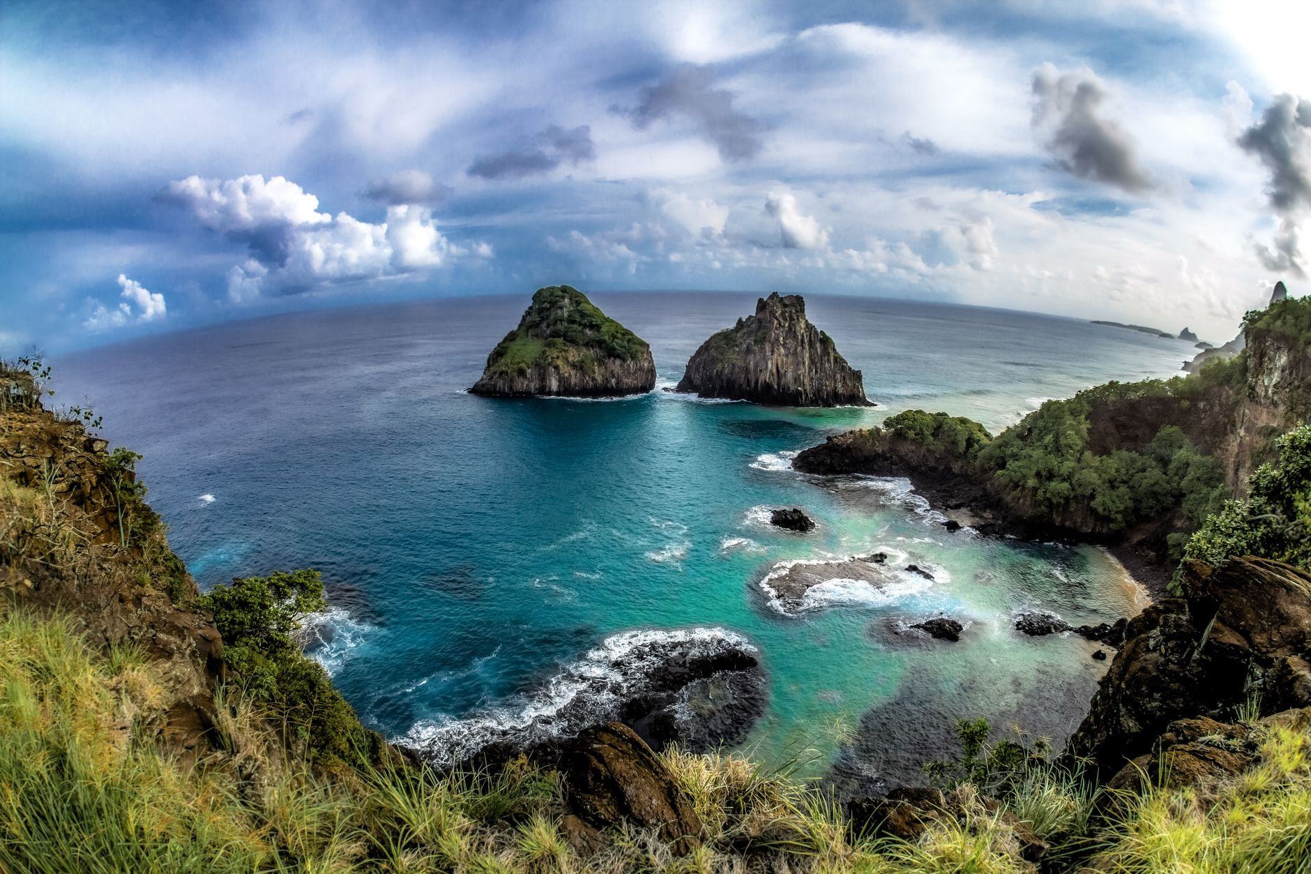
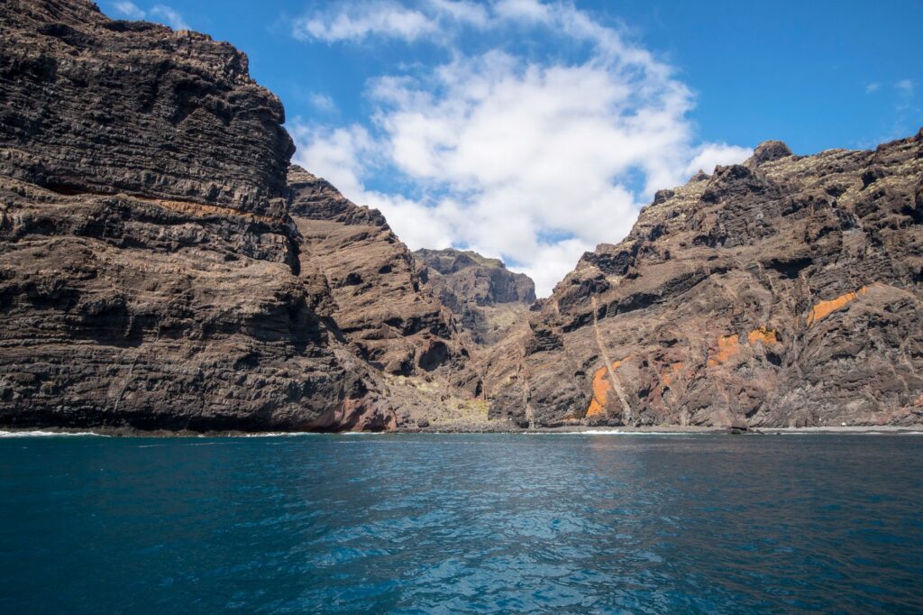
The backbone of Bioko is composed of extinct calderas, craters draped in exuberant vegetation, and basalt cliffs plunging sheer into the sea. This geological conformation has traditionally limited the opening of transversal land routes. While the northern coastal strip enjoys relatively accessible corridors, the southern interior is characterized by inscrutable cliffs and ravines where perpetual fog and humidity turn any attempt at road building into a titanic engineering endeavor. Annual precipitation, exceeding ten thousand millimeters in some areas, constantly erodes roadsides, demanding continuous and specialized maintenance.
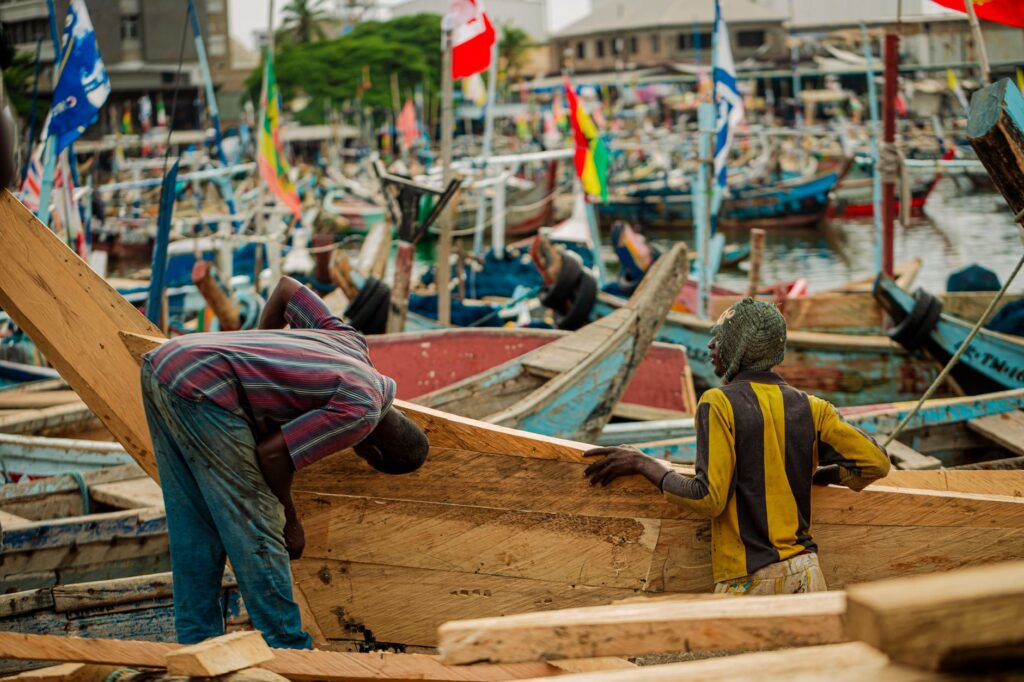
Given the material impossibility of laying out a road network connecting every corner of the coast quickly and directly, maritime cabotage has historically emerged as the natural response of local settlers. Motorized launches and traditional dugout canoes, evolved into higher-powered semi-rigid vessels, operate as the true circulatory system of the island. They connect coves inaccessible by land, transport agricultural products from cocoa farms in hanging valleys to consumption markets, and ensure that the most remote communities are not disconnected from progress and basic health care.
The sea is not a frontier separating Bioko from the world, but rather the liquid highway upon which the true history of its resilience and daily mobility is written.
This amphibious transport system requires deep empirical knowledge of local winds, known regionally, and the abrupt tidal shifts characterizing the Gulf of Guinea. Boat skippers, true local pilots lacking official nautical charts but possessing generational memory, interpret water color and wave murmurs against basalt reefs to chart safe routes where modern technology often encounters operational limitations.
Malabo and the Commercial Port: The Logistical Heart of the Northern Facade
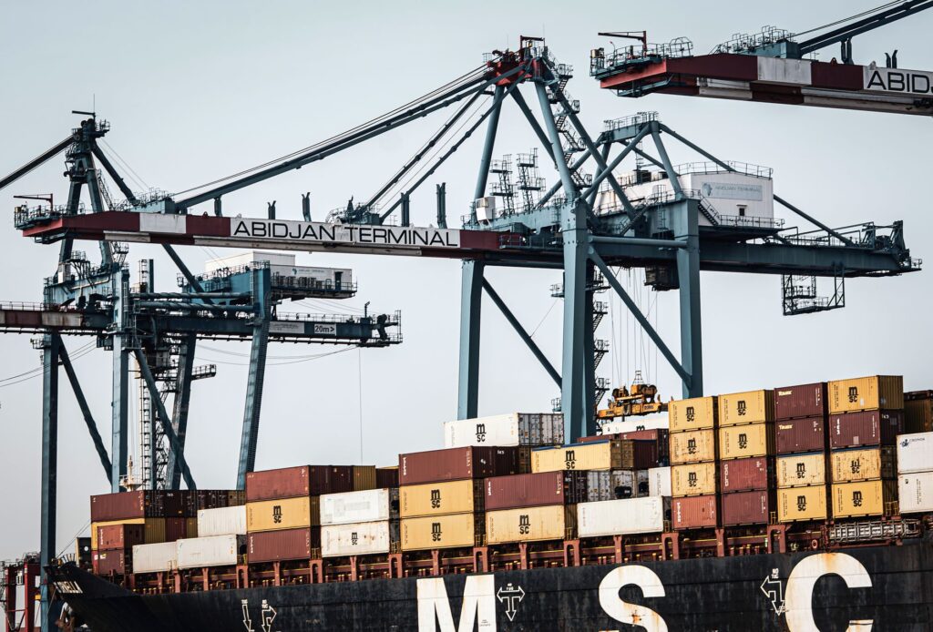
The port of Malabo, situated in the shelter of a wide natural bay on the northern coast, constitutes the nerve center of the island economy. Its main basin has undergone notable transformations over recent decades, evolving from a modest colonial anchorage used for timber and tropical fruit export into a modern logistical platform capable of servicing container ships, offshore supply vessels, and large passenger ferries.
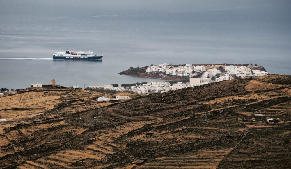
Activity in Malabo docks begins before dawn. Dockworkers unload perishable goods arriving from both the African continent and international routes, while passengers queue in an orderly fashion to board regular connections linking the island with Bata, in the continental region of Río Muni. This navigation line is much more than a transport service; it represents the umbilical cord uniting the two halves of the Equatoguinean state, facilitating the transit of families, students, and merchants who energize the internal market.
The port infrastructure is completed with refrigerated warehouses, high-capacity cranes, and customs inspection areas ensuring product traceability. However, managing this port faces constant challenges derived from marine siltation and wear caused by high salinity and tropical temperatures. Periodic dredging works are indispensable to maintain necessary drafts, evidencing that the permanence of human activity in these Atlantic confines demands constant and costly technological effort.
The Secondary Network of Coves: Tidal Ports and Traditional Anchorages
Beyond the major commercial port of the capital, the true essence of Bioko’s coastal navigation unfolds in the small coves of the western and eastern littorals. Locations such as Riaba or Luba house smaller-scale port facilities playing a fundamental role in goods redistribution. In Luba, for instance, its deep-water natural harbor has been partially adapted to serve both artisanal fishing fleets and supply vessels for the western energy industry, creating a peculiar symbiosis between maritime tradition and twenty-first-century cutting-edge technology.
Tides at this latitude relentlessly dictate activity schedules. During low tide, many of these coves remain partially sheltered by sandbars or volcanic reefs preventing deep-keel ships from entering. That is when shallow-draft barges and the skill of local fishers come into play, performing offshore transshipment duties and bringing goods in small launches right up to the shoreline under the watchful eye of gulls and fishers mending nets under secular palm trees.
Malabo Dock: Main logistical center specializing in container traffic, high-seas passengers, and general provisioning.
Luba Port: Strategic support basin combining artisanal fishing with advanced services for the western maritime industry.
Southern Coves and Anchorages: Coastal landing points conditioned by tidal regimes and the absence of practicable land roads.
This secondary network of berths lacks the grandeur of major international ports, but its anthropological and economic value is incalculable. They represent contact points where subsistence economy converges with global supply chains, allowing entire communities to sustain traditional livelihoods without remaining on the margins of monetary transactions and cultural exchange.
Air Connectivity and Its Symbiosis with Maritime Routes
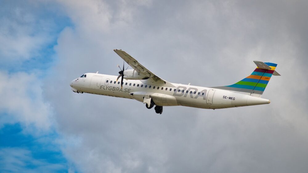
No analysis of mobility on Bioko would be complete without examining the complementary role played by air transport. Malabo International Airport (Malabo-Saint Isabel) acts as the primary gateway for passenger traffic and urgent cargo, connecting the island with major Central and West African capitals and several European metropolises. The relationship between commercial flights and maritime navigation is one of profound interdependence: while aviation absorbs business traveler flows and time-sensitive passengers, ships and ferries guarantee the mass transfer of heavy goods and foodstuffs at costs affordable to the local economy.

Air operations on Bioko are marked by extreme weather conditions, especially during the rainy season, when electrical storms and fog banks drastically reduce runway visibility. At these critical moments, the reliability of maritime routes becomes the sole guarantee of operational continuity for the island’s general supply. This modal duality—air and sea working in synchronization—demonstrates the resilience of a transport system adapted to such a demanding insular geography.
Contemporary Challenges and Sustainability in the Gulf of Guinea
Malabo’s demographic growth and the expansion of industrial activities across Bioko’s coastline raise new questions regarding the sustainability of its transport infrastructures. Increasing maritime traffic generates growing environmental pressure on the marine ecosystems of the Gulf of Guinea, the natural habitat of diverse cetacean species, sea turtles, and biologically vital mangrove forests. Port authorities and local environmental institutions face the pressing challenge of balancing dock modernization with the rigorous protection of the fragile coastal environment.
Likewise, the digitalization of logistical processes and the implementation of Vessel Traffic Services (VTS) emerge as priority investments to optimize operations in Malabo and Luba ports. Reducing waiting times at berths, minimizing accidental spill risks, and improving safety conditions for cabotage crews are inescapable objectives on Equatorial Guinea’s development agenda for coming years.
The true modernization of an insular territory is measured not solely by the tonnage its ports can move, but by its capacity to preserve the fragile balance between human development and environmental health.
Practical guide
Documentation and Visas: To travel to Bioko Island and enter Equatorial Guinea, it is mandatory to hold a passport valid for at least six months and the corresponding visa issued by the country’s consular representations prior to departure. An international certificate of vaccination against yellow fever is also required.
How to Get There: Main air access is through Malabo International Airport, connected via regular flights with Western European airports and major Central African hubs. For internal transport between Malabo and Bata (continental region), both local cabotage airlines and regular passenger ferry services operate.
Currency and Payments: The official currency is the Central African CFA franc (XAF). Carrying sufficient cash is recommended, as international credit cards have very limited acceptance outside major hotels and commercial establishments in the capital.
Best Time to Visit: From December to February registers the less rainy season, ideal for maritime journeys and excursions through the mountainous interior, although ambient humidity remains high year-round due to the island’s equatorial location.
Epilogue: The Eternal Murmur of Volcanic Waves
At dusk, when the final sunbeams set fire to the slopes of Luba caldera and the dark silhouette of merchant vessels cuts against the violet Atlantic horizon, Bioko recovers its ancestral mystery. The lights of Malabo docks begin to flicker, guiding cabotage launches with millimetric precision as they return from completing their routes along southern coves. In that instant of apparent stillness, the island reveals its true nature: an oceanic refuge where port engineering, the tenacity of its people, and the indomable force of volcanic geography converse in a perfect balance that has defied the passage of centuries and continues to beat with the intensity of the world’s great destinations.