
Introduction to the Great Northern Trail
The Kungsleden, or the King’s Trail, stands as one of Europe’s most imposing and respected long-distance hiking routes. Spanning well over four hundred kilometers across Swedish Lapland, this itinerary runs almost entirely above the Arctic Circle. It is far more than a simple stroll through Scandinavian wilderness; it is a profound immersion into one of the continent’s last truly untamed sanctuaries, where human infrastructure shrinks to scattered timber cabins and suspension bridges thrown over roaring rivers.
Emarking on the Kungsleden demands an absolute grasp of high-latitude autonomy. Unlike the alpine paths of Central Europe, the trekker here confronts the vastness of the tundra, weather conditions that can shift from radiant sunshine to freezing gales in a matter of hours, and the vital necessity of meticulously managing every gram of gear carried in the pack. This feature breaks down the technical, logistical, and geographical components required to successfully plan and execute a traverse through this remote territory.
Geography and Dynamics of the Arctic Terrain
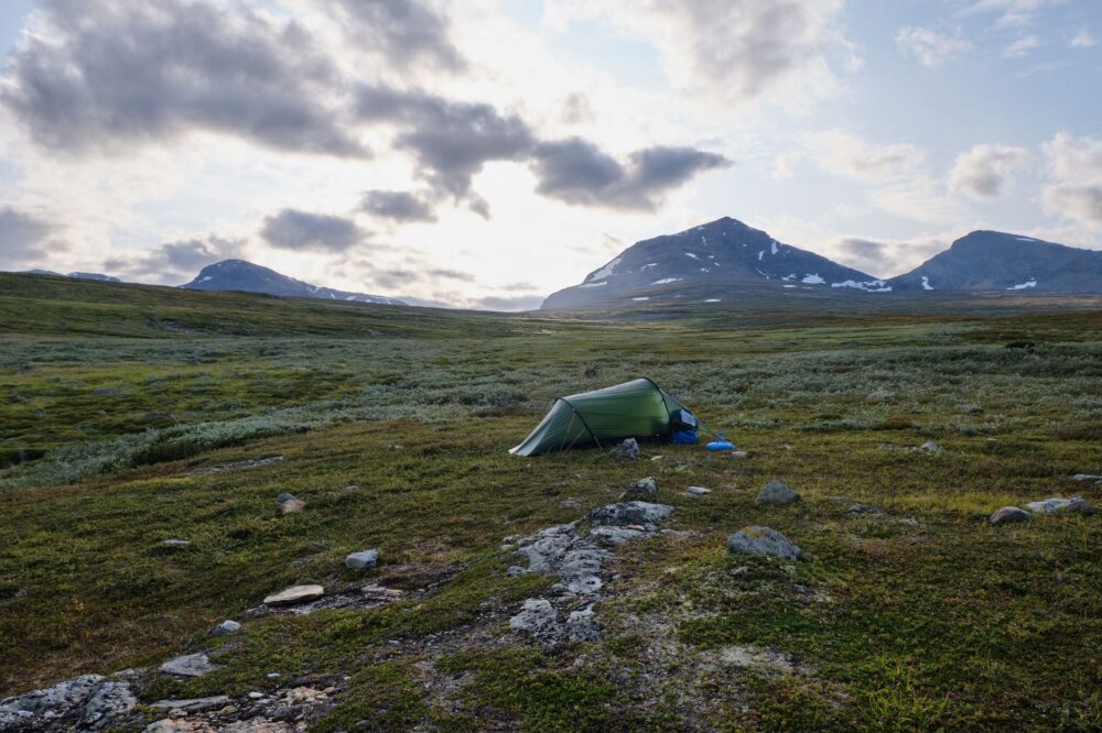
The classic alignment of the Kungsleden links Abisko in the north with Hemavan in the south, traditionally divided into four primary segments. The northern section, connecting Abisko to Nikkaluokta past the foothills of Kebnekaise—Sweden’s highest mountain at 2,096 meters—is by far the most heavily traveled and photogenic. Here, the landscape is dominated by U-shaped valleys carved by ancient glaciers, crystal-clear lakes mirroring snow-dusted peaks, and vast dwarf-birch plateaus that burst into golden hues during the fleeting boreal autumn.
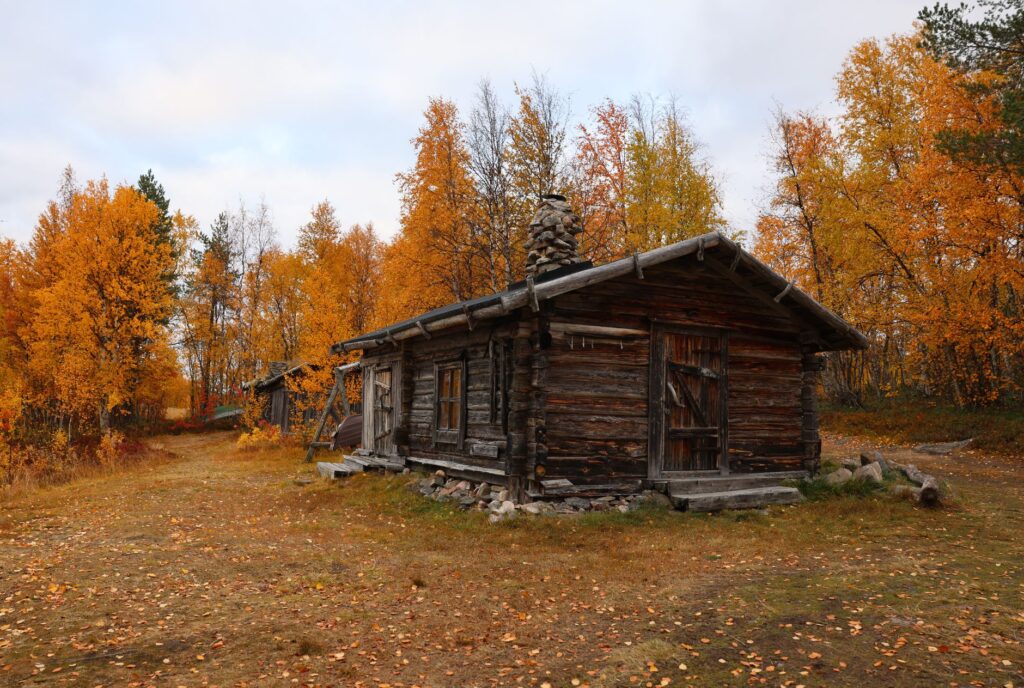
The region’s geology is defined by metamorphic rocks and schists which, combined with the constant action of permafrost and summer thumping thaws, generate a characteristically damp terrain. Bogs and fens (myrar) are a persistent feature, forcing walkers to navigate long stretches of elevated timber boardwalks (spänger). Although these structures significantly ease forward progress, they can become slick under rain or morning frost, turning every step into an exercise of balance and technical focus.
Hydrology and the River Crossing System
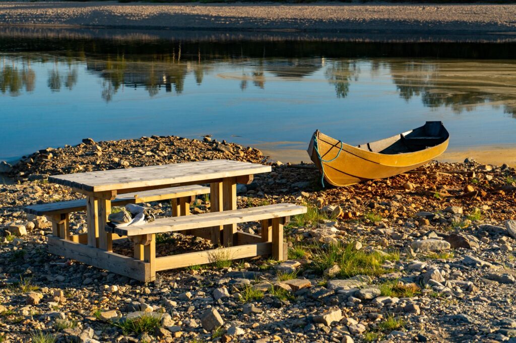
One of the primary physical challenges of the Kungsleden lies in managing its watercourses. While many major rivers feature stable suspension bridges maintained by the Svenska Turistföreningen (STF), certain stretches require crossing from bank to bank using paired rowing boats chained across the current. This system dictates that a user rows across and, if necessary on the far side, leaves a boat ready for the following traveler, ensuring a transport vessel remains available on both shores.
The true measure of an arctic expedition is not calculated by the kilometers recorded on a map, but by the capacity for adaptation to the unpredictable fury of the elements and absolute respect for the fragility of the surrounding ecosystem.
Similarly, in areas devoid of boats or bridges, wading across streams fed by glacial meltwater becomes a delicate operation. Water temperatures hovering near freezing and the force of the current mandate the use of trekking poles to ensure three continuous points of contact, alongside specific water footwear to prevent injuries from submerged boulders obscured by glacial silt.
Meteorology and Expedition Weather Windows
The subarctic climate of the Kungsleden imposes strict constraints on marching calendars. The official summer season, driven by the midnight sun phenomenon, typically stretches from late June to early September. During this window, daylight is practically uninterrupted, granting immense schedule flexibility to complete stages, though it also exposes the trekker to ultraviolet radiation reflected off lingering snowfields.
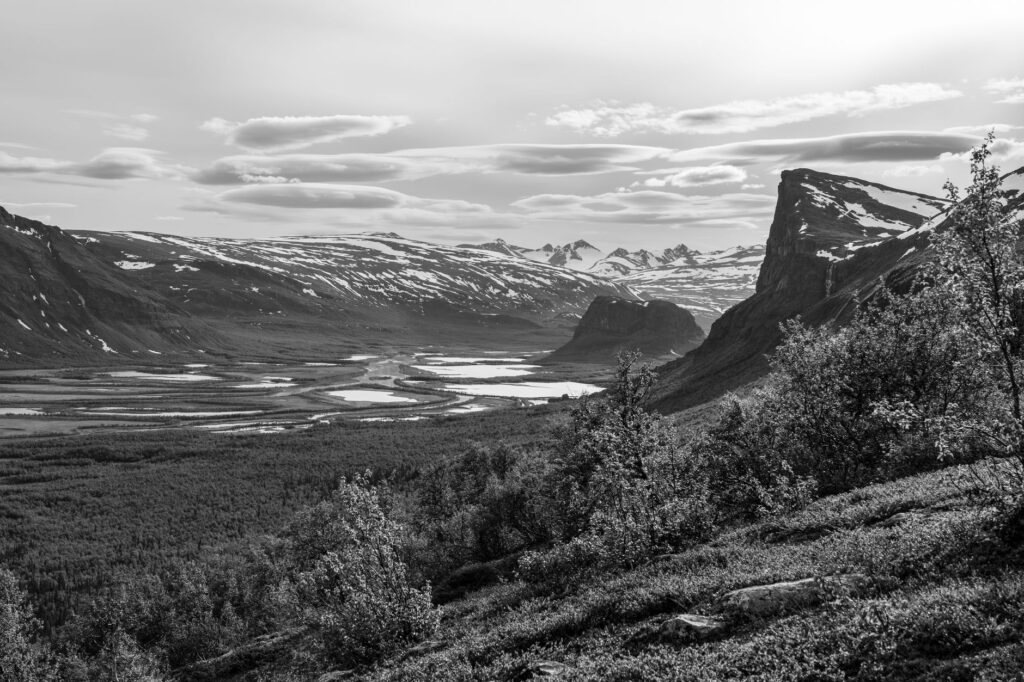
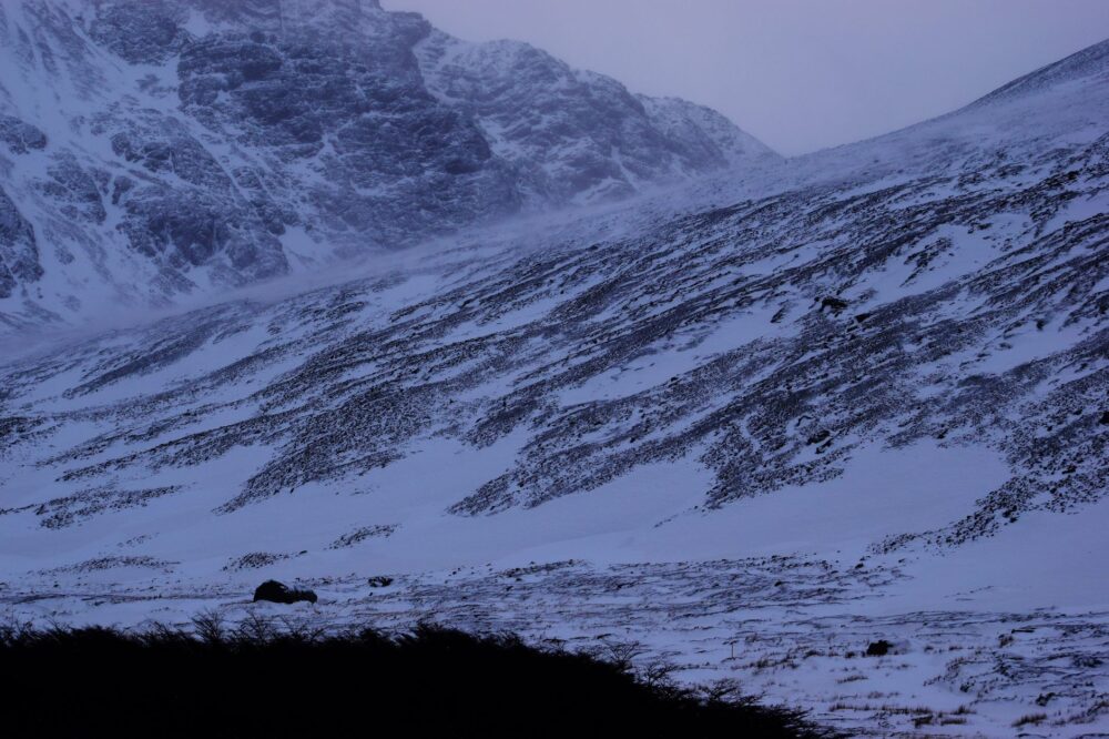
Nevertheless, the arctic summer is far from a guarantee of balmy warmth. Daytime temperatures generally hover between 10 °C and 18 °C, but wind gusts rolling off the Atlantic or polar fronts can plunge the windchill factor below freezing, particularly above the tree line. Sudden storms are commonplace, and dense fog (dimma) can drop visibility to mere meters within minutes, turning map-and-compass navigation into a critical survival skill.
The Insect Factor and Camp Preparation
An aspect frequently underestimated by novices is the massive swarms of mosquitoes and midges (knott) active during July and early August. The combination of moisture, windless days, and moderate temperatures triggers the hatching of billions of these insects in the lower valleys. Wearing head nets, permethrin-treated long-sleeve shirts, and high-concentration DEET repellents is non-negotiable for preserving physical and mental well-being during campsites.
Logistics, Accommodation, and the STF Hut Network
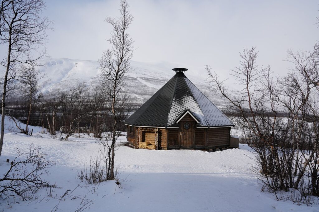
The infrastructure maintained by the Swedish Tourist Association (STF) along the Kungsleden serves as a masterclass in wilderness efficiency. Mountain cabins (stugor) are spaced at intervals ranging from 10 to 20 kilometers, allowing hikers to structure highly manageable stages or combine them based on physical conditioning. These timber shelters are equipped with bunks, wood-burning stoves, cooking gas, basic cookware, and, in most cases, provisions shops stocked with dry pasta, rice, crispbread, and canned goods.
Unlike the alpine huts of Southern Europe, Kungsleden cabins do not offer hot prepared meals or full-service hospitality, save for specialized hubs like Abisko Turiststation or the complexes at Kvikkjokk and Ammarnäs. Travelers must carry their own fuel and primary rations for the whole trek, although partial resupply points significantly trim initial pack weights.
Wild Camping Regulations and Sustainability
Sweden’s right of public access to nature, known as Allemansrätten, enshrines the right of any individual to roam freely and camp in natural areas. Nonetheless, along the Kungsleden, these regulations feature specific geographic restrictions designed to safeguard the fragile arctic environment. Within the Abisko and Pieljekaise National Parks, wild camping is strictly forbidden outside designated zones and the immediate vicinities of the huts.
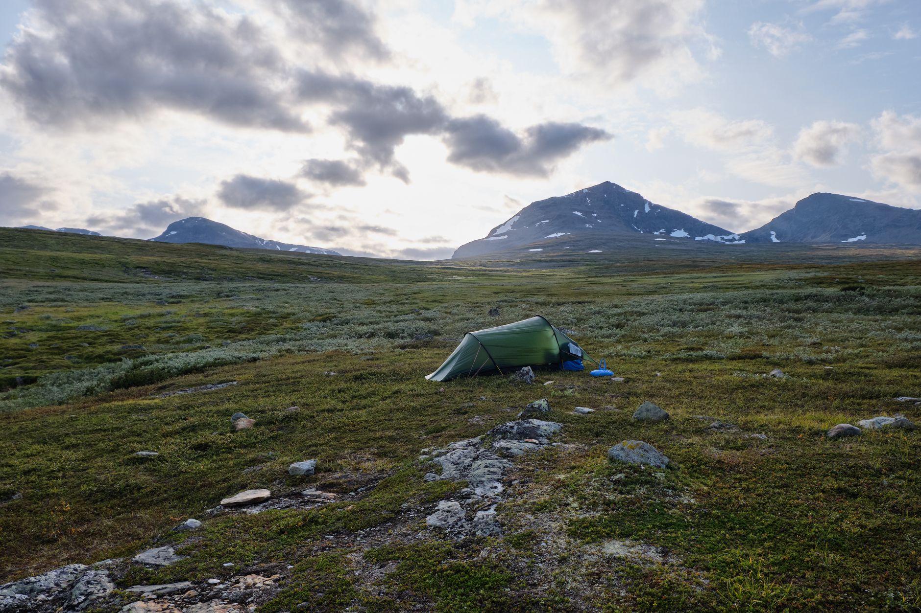
Outside these reserves, camping is fully permitted provided zero-trace principles are strictly observed: avoiding damage to lichen and moss carpets that take decades to regenerate, sourcing wash water far away from main streams, and responsibly packing out all organic and inorganic waste to the next authorized disposal point.
Nutrition, Self-Sufficiency, and Technical Gear
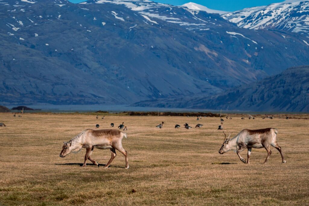
Planning provisions for a multi-day trek inside the Arctic Circle demands a strict equilibrium between caloric density and load weight. High-energy freeze-dried rations, nuts, chocolate, and quick-cooking carbohydrates designed to minimize gas consumption are strongly advised. The availability of potable water in streams and lakes along the trail is exceptionally high due to minimal human presence upstream, yet local guidelines and health precautions recommend boiling or membrane filtering water in lower sections close to reindeer grazing grounds.
Regarding technical gear, apparel must follow the classic layering system: a merino wool thermal base layer, an insulating mid-layer of synthetic fleece or water-resistant down, and a high-performance waterproof, windproof shell (Gore-Tex or reliable three-layer equivalents). Mountain boots must feature high ankles, complete waterproof membranes, and be thoroughly broken in prior to departure to prevent blister formation across damp sectors.
Practical guide
Getting there: The northern trailhead at Abisko features a railway station directly linked to Stockholm via overnight services operated by SJ, facilitating eco-friendly access without private vehicles. The southern terminus at Hemavan includes a regional airport with connections to Stockholm via Stockholm-Arlanda involving technical layovers.
When to go: The optimal weather window runs from July 1 to August 20. Outside these dates, cabins close down without wardens, boat services are suspended, and harsh winter conditions require ski-touring gear and self-rescue expertise.
Permits and fees: No entry permits are required to hike the Kungsleden, but overnight stays inside STF cabins incur a nightly fee. Becoming an STF member is strongly encouraged to secure significant lodging discounts and priority booking options during peak season.
Mandatory equipment: Alongside standard camping gear and technical apparel, hikers must carry a printed topographical map (1:100,000 Fjällkartan scale), a calibrated magnetic compass, an advanced first-aid kit, a multi-tool, a water purification system, and a satellite communication device (such as an inReach or PLB) due to the complete absence of mobile network coverage across the vast majority of the route.
The Silent Immensity of the North
Completing the Kungsleden is far more than an exercise in physical endurance; it is an internal transformation kindled by isolation and the pristine nature of the arctic landscape. When the midnight sun washes the bare slopes of Sarek in gold and the absolute silence is broken only by the distant murmur of a glacial torrent, the traveler grasps the true magnitude of wilderness. In this northern outpost, where time seems to stand still and modernity fades behind every mountain ridge, adventure achieves its purest and most enduring meaning.