
Introduction to the Arteries of Fresh and Salt Water
The territory of The Gambia is defined, even before its terrestrial borders, by the enormous liquid scar that bisects it from east to west. The Gambia River is not merely a waterway; it acts as the economic, social, and logistical backbone of a nation geographically enclaved within Senegal. In this ecosystem of dense mangroves, unpredictable tides, and muddy banks, intermodal transport acquires a singular dimension. Far from the railway networks or high-capacity highways that structure other African territories, mobility here depends on a meticulous choreography between motorized dugout canoes, heavy freight barges, and vehicular ferries challenging the limits of daily mechanical wear and tear.
Understanding the Gambian transport network requires abandoning the conventional standards of Western logistics. The country’s narrow, elongated geography, flanked by both banks of the main channel, turns every river crossing into an act of balance between artisanal tradition and modern commercial urgency. The rural communities inhabiting the bolongs—the intricate tributaries and tidal channels penetrating the mainland—depend entirely on this amphibious infrastructure. However, the seams of this system face growing tensions due to fleet aging, channel siltation, and demographic pressure on critical crossing points.
Estuarine Geography and the Challenge of Fluvial Division
The territorial uniqueness of The Gambia lies in its natural division into two physically disconnected banks along its lower stretch. For decades, crossing between the northern and southern shores has represented a logistical bottleneck of monumental proportions. The main artery of road traffic converges in Banjul, the capital located at the mouth, and the port town of Barra directly opposite. This neuralgic axis concentrates an unceasing flow of passengers, commercial cargo trucks coming from transatlantic ports, and commercial vehicles attempting to connect northern Senegal with the southern region of Casamance.
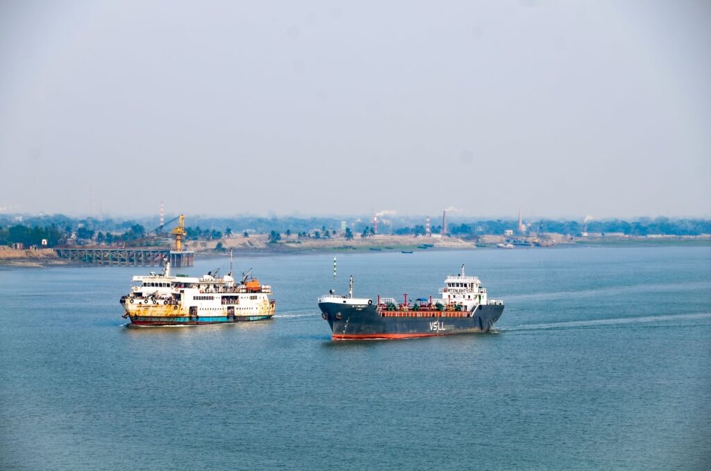
Operations at this strategic point rely on deep-draft ferries whose management has historically been a technical and financial challenge. Atlantic tides, penetrating dozens of kilometers inland with considerable force, alter docking times and demand a constant draft that silty sediments stubbornly try to obstruct. Port authorities face continuous maintenance of docks, where salt corrosion and a scarcity of specific spare parts turn every sailing into a test of endurance for crews and machinery.
The Essential Role of Cabotage Canoes in the Bolongs
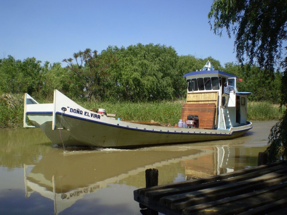
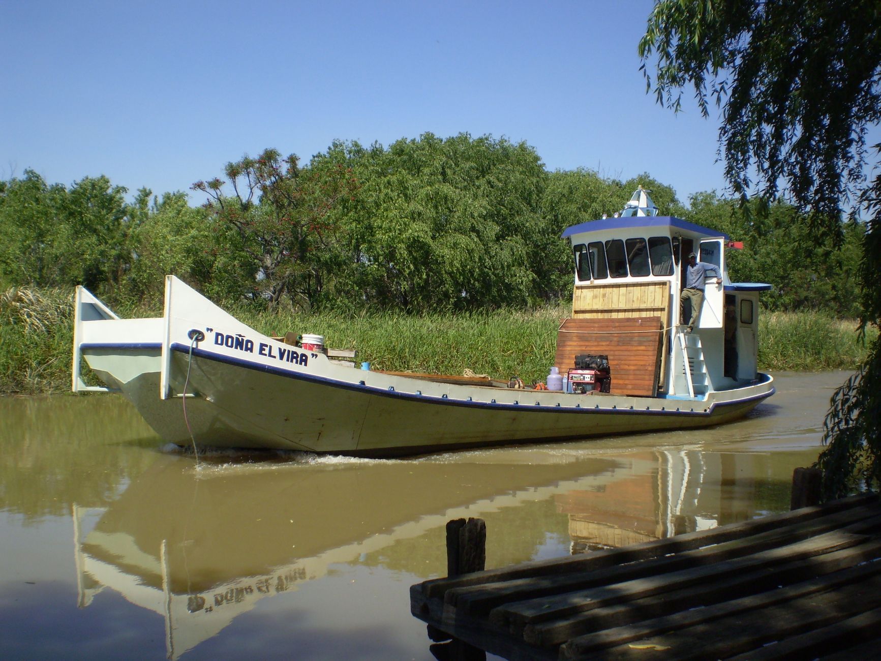
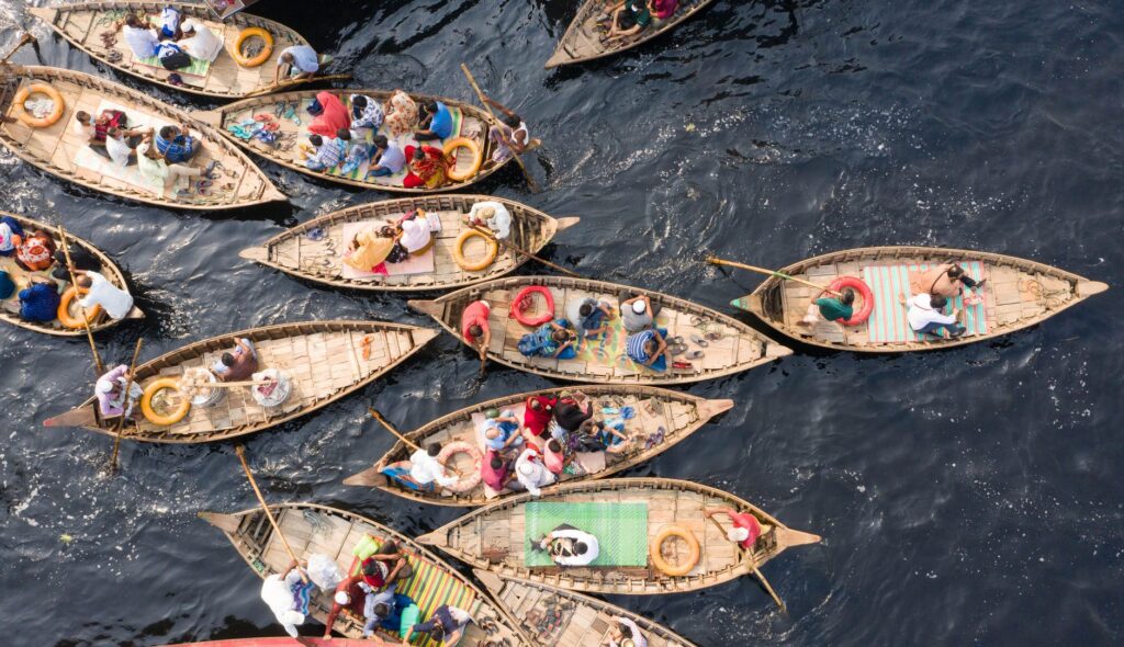
If large ferries manage heavy interstate traffic, the micro-connectivity of interior villages falls upon the shoulders of smaller vessels. Carved wooden canoes, usually equipped with second-hand outboard engines, act as the local buses of the estuary. In the bolongs, where dirt roads become impassable during the rainy season or remain buried under high-tide mud, these craft are the sole means to transport peanut harvests, smoked fish, and essential medical supplies.
The architecture of these boats has evolved little in its exterior form, prioritizing flexibility over standardization. Built from local humidity-resistant woods, they frequently carry loads exceeding recommended safety margins, reflecting the economic urgency of riparian communities. Local captains, true empirical cartographers of the muddy bottom, read currents and sandbanks through visual cues imperceptible to the occasional traveler. This reliance on individual expertise exposes the system to latent vulnerability against any unforeseen alteration in flow or fuel prices.
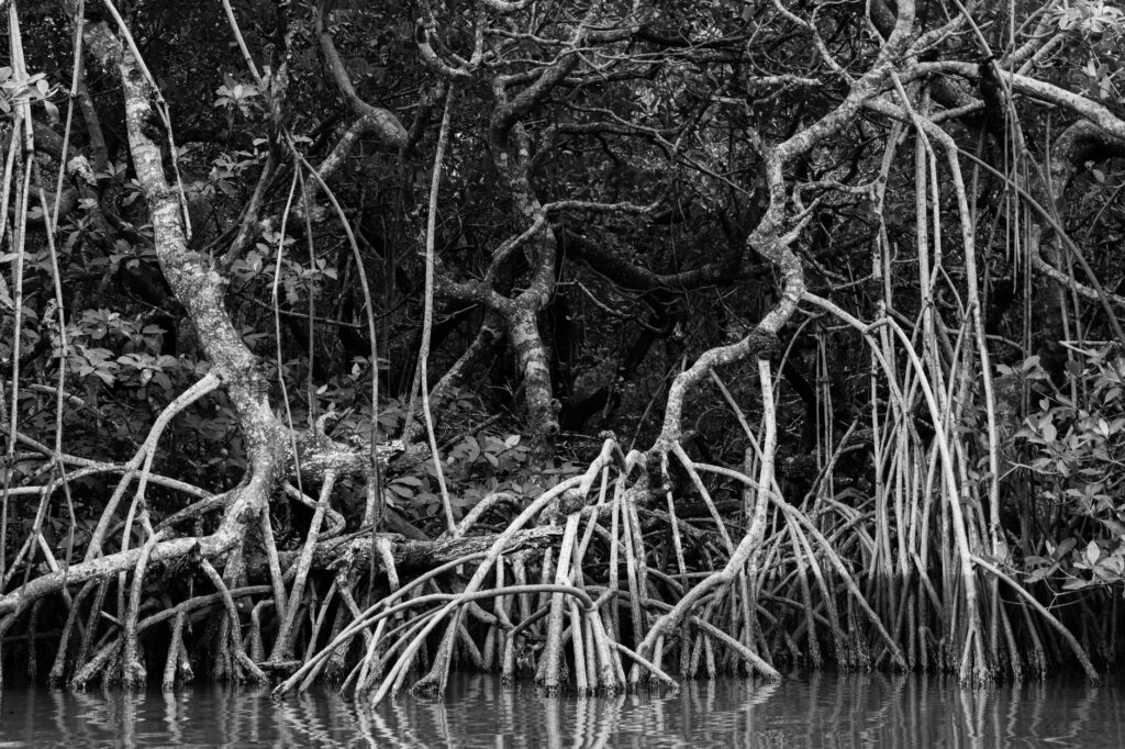
The river is not a barrier separating the territory, but the only possible path where wood, engine, and tide write the daily history of African mobility.
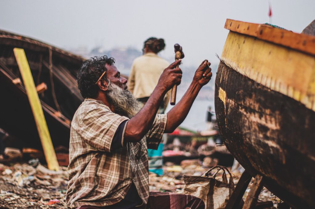
Maintenance of these minor fleets lacks systematic state subsidies, relying instead on artisanal workshops situated along the banks. Improvised welders and boat carpenters repair cracked hulls with available resources, demonstrating admirable technical resilience. Nevertheless, the scarcity of quality fuel and rising prices of lubricants frequently strangle the profitability of routes, causing sudden interruptions that isolate entire hamlets for days.
Terrestrial Infrastructure and Intermodal Friction Points
The transition between the aquatic and terrestrial environments constitutes the most fragile point of the Gambian logistics chain. Jetties, mostly built of aging concrete or metal structures subjected to extreme fatigue, suffer accelerated deterioration. In key interior locations such as Farafenni, where the inauguration of the bridge over the Gambia River marked a historic milestone for trans-Saharan route connectivity, heavy traffic found a long-awaited alternative to the collapse of traditional ferries.
However, the existence of the bridge has not eliminated the need for ferries in the lower course, but rather reconfigured goods flows. Heavy freight trucks transporting agricultural produce from Guinea or southern Senegal toward Banjul markets now alternate paved land routes with traditional river crossings, depending on customs congestion and the condition of secondary roads. This coexistence of modern infrastructure and time-honored methods generates bureaucratic and logistical frictions that slow down the average speed of regional transport.
The Invisible Economy of Perishable Goods Transport
The impact of the fluvial transport system on food security and the local economy is direct. Horticultural products cultivated in the fertile river valleys must reach urban markets before tropical heat and wharf delays accelerate their decomposition. Market barges operate under schedules strictly dictated by lunar phases and currents, forcing merchants to coordinate their harvests with millimeter precision.
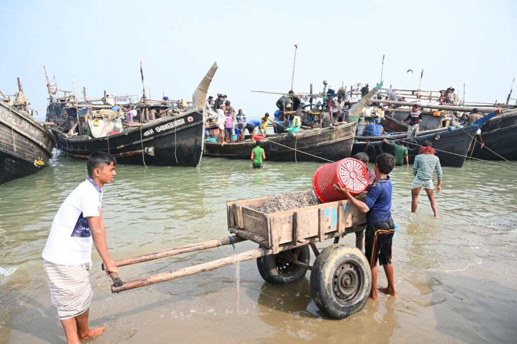
Women play a leading role in this logistics chain as wholesale and retail traders, managing the manual transshipment of fish baskets and grain sacks from canoes to land-based bush taxis. This informal logistics, based on networks of community trust, compensates for the shortcomings of formal state planning. Yet, it lacks cold storage or intermediate warehousing systems, generating considerable losses during peak agricultural production seasons.
Environmental Sustainability and the Wear of Aquatic Ecosystems
The increase in demographic pressure and the constant transit of motorized watercraft across the estuary raise pressing questions about the sustainability of the natural environment. Accidental spills of oils and fuels, combined with erosion caused by speedboat wakes in narrow mangrove channels, threaten the biodiversity of natural reserves such as the River Gambia National Park.
Public river transport policies are torn between the need to modernize the fleet with cleaner, more efficient four-stroke engines and the harsh budgetary reality preventing local operators from renewing their equipment. Protecting the habitats of manatees and migratory birds demands stricter regulation of nautical traffic, a complex task in a territory where the immediate priority of the population is economic survival and daily market access.
Practical guide
How to get there: Banjul International Airport receives regular flights from major European and African capitals. From there, official taxis connect to the capital and main river transshipment points.
When to visit: The dry season, from November to May, offers the most stable conditions for river navigation and road travel, avoiding monsoon rains that hinder access to the bolongs.
Internal transport: To cross the main estuary, the ferry between Banjul and Barra operates daily, though vehicle booking in advance is strongly recommended. Crossings through minor tributaries are made via local canoes by negotiating fares directly at the docks.
Accommodation: Small eco-lodges managed by local communities exist on the northern bank and near national parks, ideal for understanding river dynamics up close.
Health requirements: Yellow fever vaccination is mandatory to enter the country. Malaria prophylaxis is advised, and precautions with bottled water consumption are essential.
The Liquid Horizon: Memories and Persistence on the Bank
At dusk, when the surface of the Gambia River acquires a metallic tone under the final rays of the sun, the estuary regains an apparent stillness that contrasts with the daytime frenzy of the docks. Fishermen haul in their nets in silence, beaching their canoes on the damp mud until the next tide. In this territory where water imposes its own rhythm, connectivity is not merely a matter of engineering or transport statistics, but a form of cultural survival rooted in patience. Ferries continue crossing the darkness with their blinking navigation lights, reminding the observer that, in the liquid veins of West Africa, the community’s future remains inextricably linked to the unalterable pulse of the current.