
The Oceanic Fracture Dividing a Nation
New Zealand’s territory rests upon a geographical paradox as fascinating as it is implacable. Two vast landmasses, the North Island and the South Island, converge in an archipelagic nation of deep oceanic vocation yet remain stubbornly separated by a tectonic and maritime gap known as the Cook Strait. This corridor, barely twenty-two kilometers wide at its narrowest point, is not merely a geographic feature; it represents one of the most challenging navigation routes in the Southern Hemisphere and the primary logistical bottleneck for freight and passenger transport nationwide. Connecting these two landmasses demands a deployment of naval engineering and intermodal synchronization that constantly tests the boundaries of nature.
The ocean currents converging in this channel generate a unique funnel phenomenon. Waters from the Tasman Sea and the Pacific Ocean crash violently against the cliffs of Marlborough and the bays of Wellington, sculpting a landscape of breathtaking beauty alongside a proverbial hazard for any ship captain. For decades, the nation’s economic and social survival has depended on the reliability of this floating lifeline. Far from a simple tourist cruise, the crossing between the ports of Wellington and Picton constitutes a transport ecosystem where freight rail, heavy-duty trucks, and travelers converge to understand the true insular dimension of the New Zealand territory.
The Anatomy of Ferries and Intermodal Docks
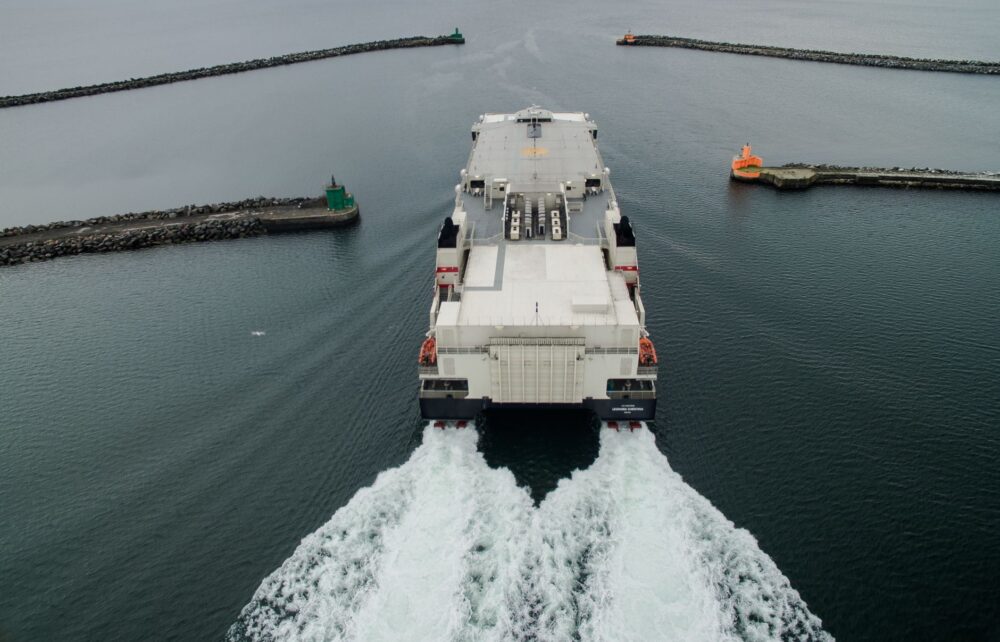
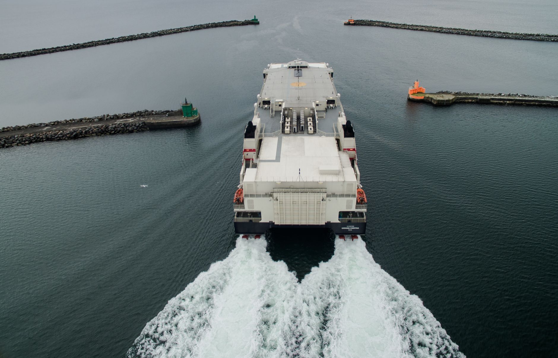
Operating in the Cook Strait requires vessels specifically engineered to withstand colossal forces. The large ferries plying the route function as true floating intermodal platforms, capable of swallowing entire freight train carriages, heavy transport convoys, and hundreds of private passenger vehicles in their bellies. These ships combine robust naval architecture with advanced stabilization systems to mitigate the impact of gale-force winds frequently descending from surrounding valleys. Boarding docks at both the northern and southern terminals undergo continuous structural retrofitting to adapt to tidal variations and the ever-growing demand for freight capacity.
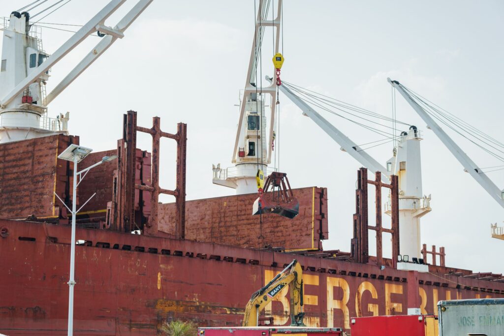
The integration between rail, road haulage, and maritime transit is executed with millimetric precision at the boarding terminals. In Wellington, freight trains originating from the North Island interior are uncoupled and driven directly into the lower decks of the ferries, a process requiring ironclad coordination between operating companies and port authorities. On the other side of the strait, in Picton, the convoys are reassembled to continue their southward journey toward Christchurch and the southern ports. This constant transfer makes the channel the most critical link in the national supply chain, where any weather disruption triggers an immediate domino effect across the entire country’s economy.
The Cook Strait is not a simple aquatic thoroughfare, but the floating backbone preventing the economic fragmentation of an indomitable insular territory.
The Fury of the Elements: Winds, Tides, and Adverse Weather
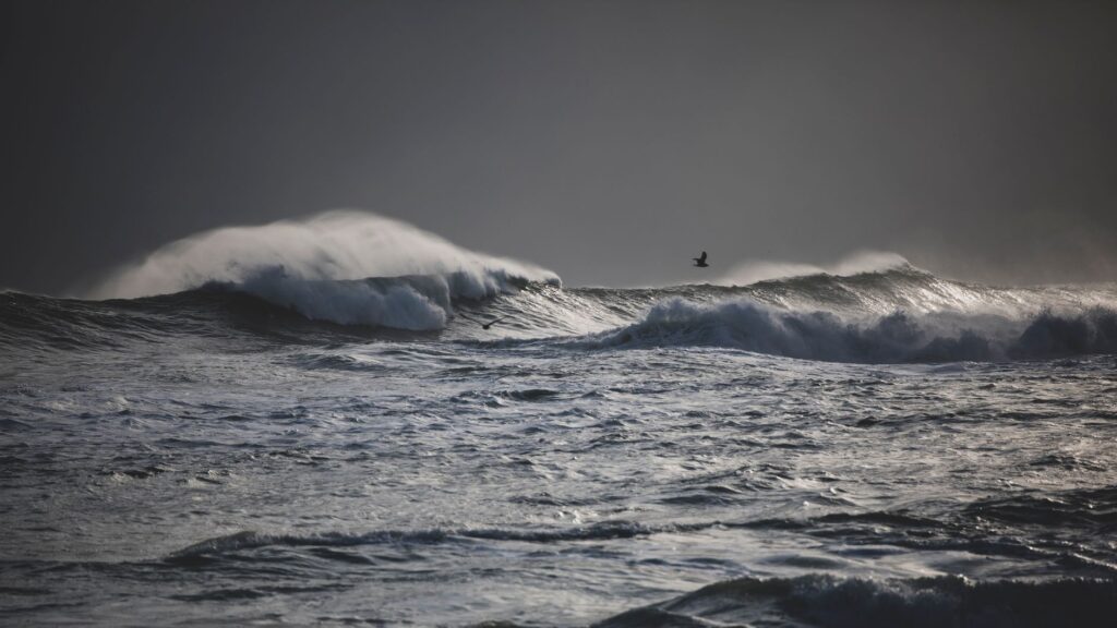
No analysis of transport across the Cook Strait can overlook the meteorological factor. Cataloged by historical navigators as one of the most unpredictable stretches of water on the planet, the strait acts as a natural aerodynamic funnel. Low-latitude westerly winds collide head-on with the Southern Alps mountain range, deflecting into the channel and generating hurricane-force gusts capable of paralyzing commercial navigation within hours. Waves, driven by deep currents and crosswinds, can reach staggering heights, testing the structural resilience of hulls and the stomach fortitude of passengers.
Maritime authorities and ship captains rely on hyper-local forecasting systems measuring atmospheric pressure, offshore wind speed, and wave heights seconds in advance. Despite advanced radar technology and global positioning systems, nature retains the final word here. Last-minute cancellations and cargo deck weight restrictions are routine during winter months when polar fronts sweep across the Tasman Sea. This climatic vulnerability has repeatedly reignited debates over the feasibility of building a fixed link—whether via an underwater tunnel or a monumental bridge—though enormous economic costs and the seismic risks of the geological fault line continue to tip the scale toward the traditional maritime route.
Rail Integration and the Pulse of Heavy Freight
Freight transport across the Cook Strait represents the true silent engine of New Zealand’s connectivity. The North Island rail network culminates at the Wellington docks, while the South Island system begins in Picton, establishing a virtual continuity across the water. Intermodal wagons, engineered for both terrestrial rolling and maritime anchoring, haul everything from dairy products and timber to heavy machinery and consumer goods. This logistics solution bypasses the manual transshipment of cargo, drastically reducing transit times and costs.
However, aging fleets and the need to modernize port infrastructure have placed the system under considerable strain in recent years. Multi-million-dollar investments aimed at acquiring new, more energy-efficient and environmentally friendly vessels reflect the urgency of upgrading a corridor operating at peak capacity. Road hauliers, meanwhile, depend on limited spaces aboard ferries, requiring meticulous planning of truck fleets to prevent bottlenecks that would paralyze the national distribution of food and raw materials.
The Traveler’s Experience: Between Vertigo and Landscape Contemplation
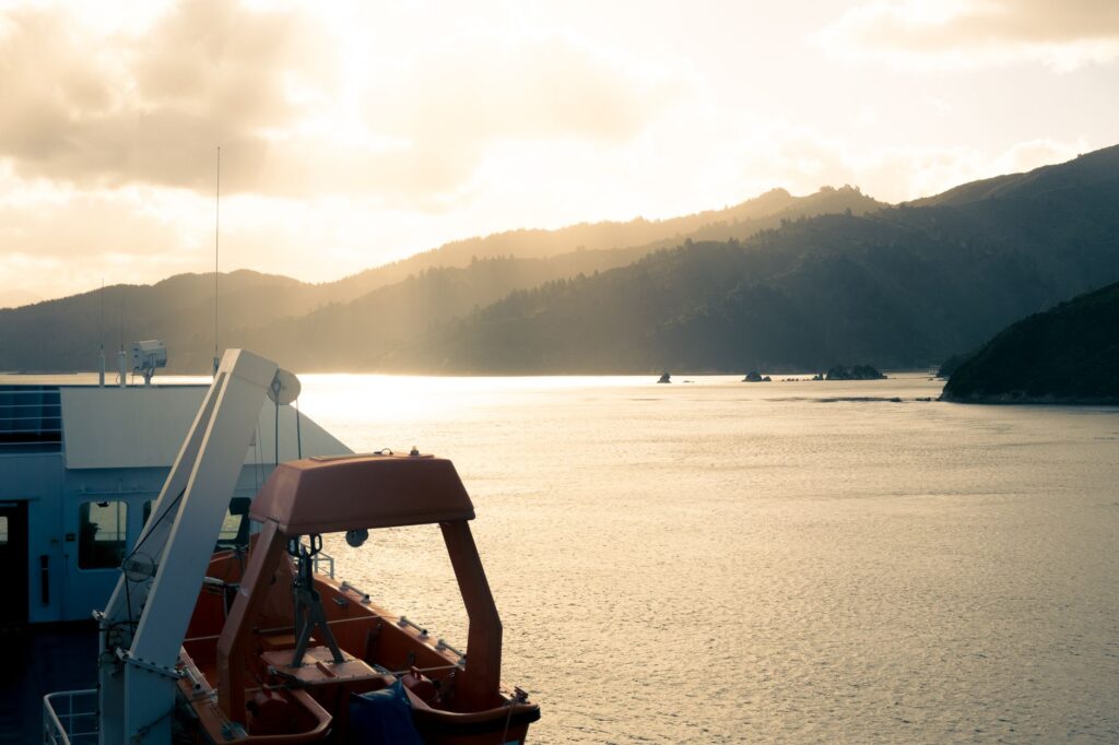
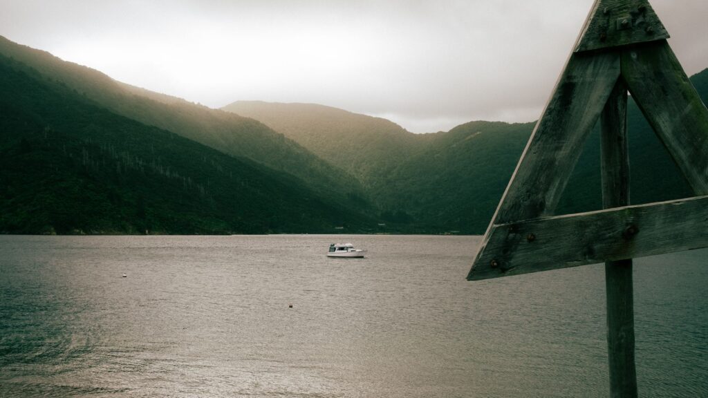
For travelers crossing the Cook Strait for pleasure, the voyage transforms into one of the most striking visual experiences in the world. As the ferry departs the bustling Wellington harbor, the urban landscape gives way to the rugged cliffs of the Miramar Peninsula and the open waters of the Tasman Sea. After a three-hour navigation, entering the fjord system of the Marlborough Sounds on the South Island offers a dramatic scenery shift. Native forest-covered hills plunge directly into turquoise waters, creating a maze of sheltered channels where open sea agitation gives way to near-absolute calm.
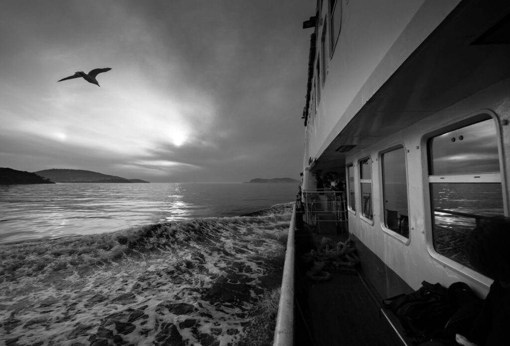
The upper decks of the ships become natural observatories where common dolphins, pilot whales, and numerous seabird species frequently accompany the vessel’s wake. This contrast between the harshness of the maritime passage and the subsequent serenity of the fjords encapsulates the duality of travel in New Zealand. Passengers are not mere users of a transport service, but privileged witnesses to a radical geographical transition marking the shift from northern urban civilization to the indomitable vastness of the south.
Logistical Challenges and the Transition Toward Sustainability
The future of transport in the Cook Strait is inextricably linked to environmental commitments and operational resilience. Shipping companies and port managers face the challenge of reducing carbon emissions along an energy-intensive route. The integration of hybrid propulsion systems and the use of alternative fuels in new ferry generations mark the beginning of a necessary ecological transition, driven equally by governmental regulation and a growing environmental awareness within tourism and logistics sectors.
Likewise, resilience against seismic events and extreme weather extremes remains an absolute priority in the design of new terminals. Docks must withstand high-magnitude earthquakes—frequent in this high tectonic activity zone—ensuring that the maritime passage can restore operations in the shortest possible time following any geological contingency. Cooperation between private operators, state agencies, and local communities is indispensable to keeping this fragile umbilical cord linking the country’s two halves open.
Upgrading transport infrastructure in such a volatile corridor demands balancing commercial urgency with deep respect for the channel’s fragile marine ecology.
Practical guide
Planning a crossing of the Cook Strait requires a precise understanding of logistical options and the meteorological variables conditioning the journey.
- Main Operators: Two primary companies operate the regular ferry route between Wellington and Picton: Interislander and Bluebridge, both accommodating passengers and vehicles.
- Crossing Duration: Standard maritime passage ranges between three and a half and four hours, depending on weather conditions and vessel type.
- Advance Booking: Booking weeks or months in advance is strictly mandatory when traveling with a private vehicle or campervan during peak summer months.
- Luggage and Cargo Restrictions: Strict regulations apply to the transport of fresh produce, biosecurity items, and flammable materials aboard vehicle decks.
- Air Alternatives: Should severe weather cause cancellations, regular commercial flights operate between Wellington airport and Blenheim or Nelson.
The Final Horizon of an Indomitable Route
At dusk, as the final daylight fades over the choppy waters of the Cook Strait, the rhythm of the port terminals never truly stops. Large cargo ships continue their silent labor, linking northern rails with southern roads under the watchful eye of meteorological lookouts. This fragile floating line, shaped by elemental forces and sustained by human engineering, continues to prove that the true essence of an insular territory lies in its capacity to keep its souls united across the sea. With every crossing, the invisible pact between the audacity of those who navigate and the indomitable immensity of the ocean is renewed.