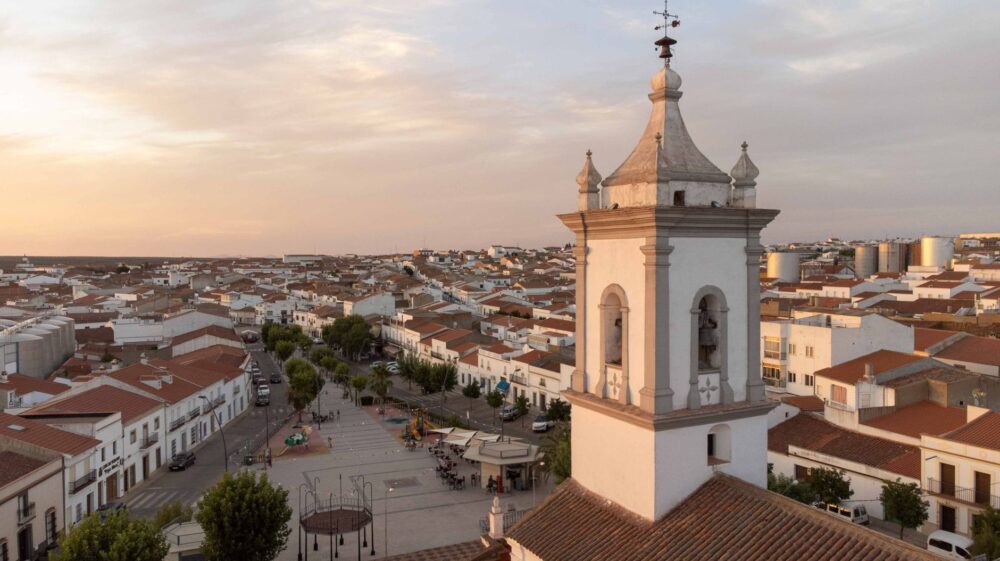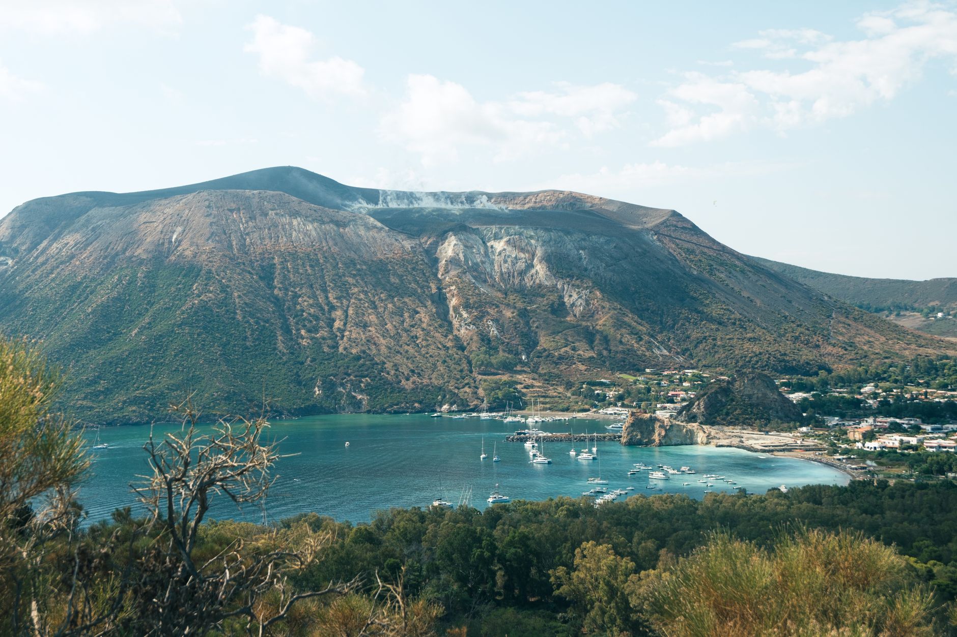

Introduction to the Tyrrhenian Volcanic Arteries
The Eolian archipelago emerges from the depths of the Tyrrhenian Sea as a constellation of basaltic summits where geological time and human navigation maintain an ancestral pact. Far from mass summer tourism, the daily life of these islands depends on a complex choreography of hydrofoils, cargo ferries, and docks carved into the living rock. Lipari, the largest of the volcanic sisters, acts as the logistical heart and focal point of a network that defies capricious sea currents and the occasional fury of northern winds. Understanding its connectivity requires delving into a system where every maritime journey is not a mere tourist transfer, but the main artery supplying provisions, fuel, and hope to communities sculpted in obsidian and tufa.
Lipari’s history is inextricably linked to the ability of its inhabitants to master the sea and extract wealth from its smoking slopes. From the ancient pumice deposits of Pomiciazzo to the modern berths of Sottomonasterio, port infrastructure has evolved to respond to the rigors of a rugged relief and the lack of natural shelter. This report examines the daily pulse of the Lipari docks, the irreplaceable role of the cabotage fleet, and the delicate engineering that keeps these islands alive, nestled on the threshold of the marine abyss.
The Port Topography of Sottomonasterio and Marina Corta
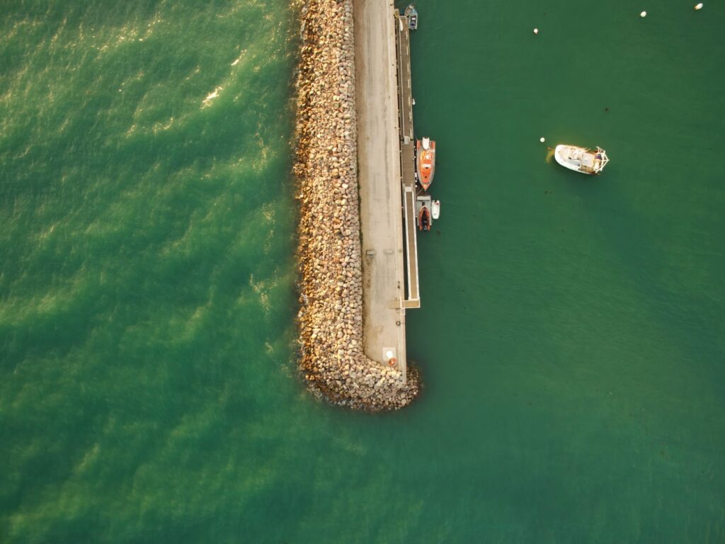
Lipari’s main port, known as Sottomonasterio, represents a prodigy of coastal adaptation where local fishing boats, hydrofoils arriving from Milazzo, and massive cargo ships unloading weekly provisions converge. Protected by breakwater dikes that have had to be expanded over successive decades, this port enclosure supports intense daily activity. Just a few meters away, Marina Corta acts as the traditional counterpoint, a more intimate refuge where fishermen’s boats coexist with small tourist vessels and maritime processions celebrating local devotion.
Traffic management in Sottomonasterio requires millimeter precision by harbor masters and ferry operators. Berthing maneuvers must contend with cross currents and surface space scarcity, given that the steep slope of Lipari’s castle drops abruptly into the water. This geographical limitation has forced the development of unique logistical solutions, where roll-on/roll-off cargo and freight containers must be unloaded with timed precision to avoid congestion in the single basin capable of receiving deep-draft vessels.
The Industrial Legacy of Pumice and Its Loading Docks
For over a century, Lipari’s economy revolved around the extraction and export of pumice, an activity that left an indelible mark on Canneto’s coastal landscape and Acquacalda’s beaches. The old pumice loading bays, iron and concrete structures cantilevered over the sea, are today industrial archaeology monuments bearing witness to the technical audacity of nineteenth-century engineers. These docks allowed mineral to be poured directly into the holds of sailing ships and steamers that distributed it throughout the Mediterranean and Northern Europe.
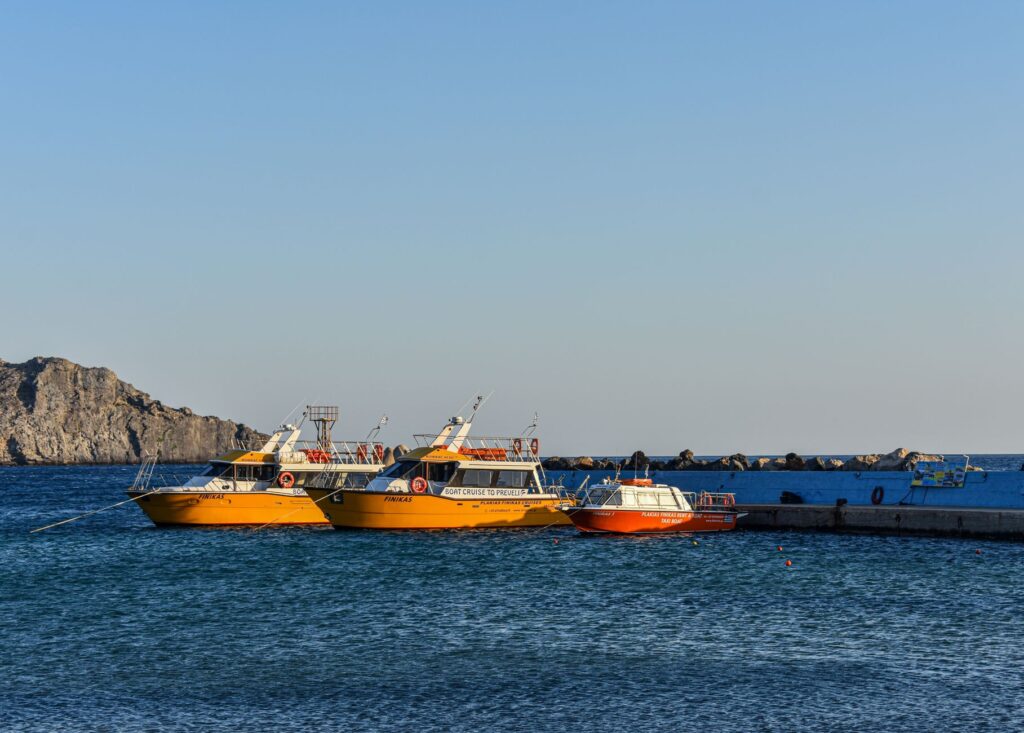
Although industrial exploitation formally ceased to protect the fragile ecosystem of the natural park, the imprint of these berths continues to define the island’s maritime identity. The rusty metal walkways stretching out into turquoise waters contrast with the ghostly whiteness of abandoned quarries, creating a setting where industrial heritage dialogues with sustainable geological tourism. Modern boats cruising the northern coast no longer load minerals, but they still anchor nearby to show travelers this monumental testimony of insular extractive engineering.
The Cabotage Fleet and Hydrofoils: The Umbilical Cord with Sicily
Lipari’s daily survival depends on a regular maritime transport service operating with British punctuality despite adverse weather conditions. The shipping companies Siremar and Liberty Lines operate a combined fleet of conventional ferries and fast hydrofoils that daily connect the archipelago with the Sicilian ports of Milazzo and Messina, as well as Neapolitan terminals during the summer season. This umbilical cord ensures resident mobility, student commuting, and the steady flow of perishable goods essential for local hospitality.
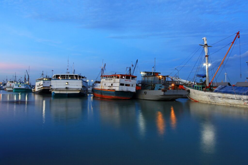
Maintaining these routes is not without operational challenges. On days of strong siroco or mistral winds, navigation restrictions can temporarily isolate the archipelago, reminding inhabitants of their insularity’s vulnerability. Therefore, port authorities and shipping companies coordinate strict safety protocols, monitoring tides and winds in real time. The modernization of vessels, featuring more efficient propulsion systems and hulls adapted to minimize wave impact, has substantially improved the reliability of connections that constitute the true backbone of the Eolian economy.
Interior Mobility: Cornice Roads and Regional Public Transport
Once on solid ground, Lipari’s connectivity unfolds through a network of cornice roads winding between caper terraces, Malvasia vineyards, and volcanic slopes. These narrow roads, marked by sharp curves, demand experienced drivers and compact public buses, popularly known as Urso microbuses. These vehicles connect the historical center with the peripheral hamlets of Canneto, Acquacalda, Pianoconte, and Quattropani, allowing residents and visitors to travel without the imperative necessity of a private vehicle.
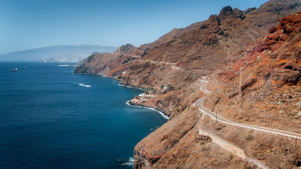
The island’s road design responds to the need to overcome steep gradients within short distances. Slopes frequently exceed ten percent, offering travelers extraordinary aerial perspectives over the intense blue of the Tyrrhenian Sea and the distant silhouettes of Vulcano and Salina. Vertical signage, adapted to landscape conservation guidelines, prioritizes safety without clashing with the rural environment. Likewise, the summer increase in motorcycle and small utility vehicle rentals has forced the implementation of traffic restrictions in the old town alleys, preserving pedestrianization and the tranquility of historic squares.
The Role of Lesser Ports and Sustainable Nautical Tourism
In addition to Sottomonasterio and Marina Corta, Lipari’s coast harbors small anchorages and secondary basins serving a vital function for recreational boating and artisanal fishermen. Canneto features a promenade protected by breakwaters facilitating the docking of inflatable motorboats and coastal skiffs, while on the western coast, sheltered coves such as the Perciato cliffs offer temporary refuge from dominant winds. These minor port-of-call points decongest the main harbor and foster a more balanced distribution of nautical tourism.
In recent years, the local administration has promoted strict regulations to govern the anchoring of large luxury yachts, protecting the Neptune grass meadows carpeting the surrounding seabed. The installation of ecological mooring buoys and the ban on dropping anchors in high ecological value zones demonstrate a growing environmental awareness. The current challenge is to harmonize the arrival of high-end recreational boating with the preservation of marine ecosystems and the tranquility of traditional fishing communities.
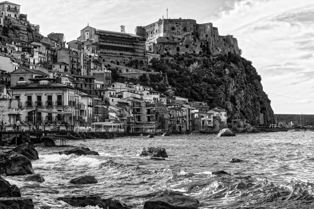
The sea is not a border that isolates Lipari, but rather the liquid public square where the destinies of sailors, farmers, and travelers seeking the essential truth of volcanic land converge.
Practical guide to understanding and exploring Lipari’s connectivity
Planning a trip to Lipari requires understanding the timings and rhythms imposed by maritime navigation. Below are the essential logistical keys for a rigorous and environmentally respectful visit to the island.
- How to get there: Access is primarily achieved via hydrofoils or ferries from the Sicilian port of Milazzo. Crossings take between fifty minutes and an hour and a half depending on the vessel type. Direct connections from Palermo and Naples are also available during summer months.
- Interior transport: The local bus network connects Sottomonasterio with Canneto, Acquacalda, and Quattropani at regular frequencies. To explore more secluded corners, renting scooters or small electric cars is the recommended option.
- Accommodation: Lipari’s historic center and the Marina Corta waterfront concentrate most hotel offerings, ranging from family-run guesthouses to restored palazzos. Canneto offers an alternative more oriented toward beach life.
- Recommended season: May, June, September, and October offer optimal temperatures, fewer crowds at the docks, and greater availability in regular maritime connections.
- Rules of conduct: Removing pieces of pumice or volcanic mineral from protected areas is strictly prohibited. Visitors are advised to respect neighborhood quiet in historic quarters and use the recycling bins located at the ports.
Visual and human epilogue on the island horizon
When the sun begins to set behind Salina’s volcanic ridges, casting copper reflections upon Marina Corta’s ochre facades, Lipari reveals its most intimate and enduring dimension. On the stone benches of the church square, elderly locals converse with the same leisurely cadence with which sailors tie up their boats at the end of the day. There is no stridency in this Tyrrhenian sunset, but rather the serene certainty of belonging to a territory that has learned to negotiate its survival with the fury of subterranean fire and the immensity of the open sea. The docks, now quieter, continue their nocturnal guard, prepared to welcome the first steamer of dawn that, once again, will keep the miracle of insular connectivity intact.