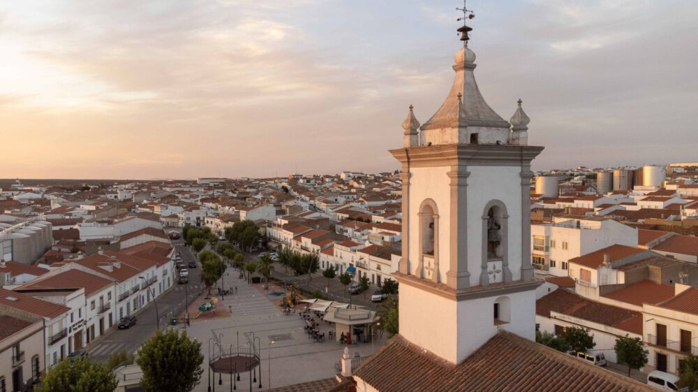
Introduction to the Atlantic Labyrinth of the Arousa Estuary
The Arousa Estuary is far more than a geographical indentation on the rugged map of northwestern Spain; it is a living organism where saltwater pushes deep inland to embrace sunken valleys, minor inlets, and an inner archipelago of granitic islets. In this remote corner of the Pontevedra province, maritime connectivity has evolved far beyond a basic subsistence tool into a sophisticated system of floating arteries. From the bustling port terminals of Vilagarcía de Arousa to the artisanal docks of Vilanova and Arousa Island, the territory unfolds through wooden walkways, traditional boatyards, and a dense network of vessels that challenge live tides every single dawn.
Understanding how this maritime space is structured requires looking far beyond the standard tourist postcard of white-sand beaches and protected dunes. The true essence of Arousa lies in its amphibious architecture, where the ebb tide reveals an eroded landscape of rocks and shellfish beds that locals harvest with millimeter precision. Cabotage routes, bivalve transport vessels, and local passenger ferries form an essential logistical framework designed to keep island and coastal economies thriving. In this report, we dissect the gears of this maritime connectivity, exploring how ancient seafaring traditions continuously engage with the demands of contemporary navigation.
The Floating Engineering of Mussel Rafts and the Timber Horizon
The most distinctive element of the maritime horizon across the Arousa Estuary is undeniably the mussel raft park. These eucalyptus-wood structures, suspended over high-tonnage plastic floats, form floating polygons where Galician mussels are cultivated under protected designation of origin standards. From a technical standpoint, each raft represents a masterclass in naval engineering adapted to the fury of Atlantic swells and the rhythmic currents of tidal flows. The heavy-duty steel cables anchoring these platforms to the seabed withstand colossal loads, allowing thousands of suspended ropes to filter nutrient-rich waters driven by deep oceanic upwellings.

Accessing these floating platforms requires a specialized fleet of auxiliary vessels commonly known as batea workboats or catamaran tenders. These craft are equipped with hydraulic cranes and winches capable of hoisting tons of product under often adverse weather conditions. Connectivity between base ports and cultivation polygons is governed by strict internal navigation lanes designed to avoid shallow shoals and respect buoyed channels. The sailors operating in this sector combine an ancestral knowledge of local winds—such as the dreaded nor’easter—with modern GPS positioning systems to optimize shellfish transport routes straight to the unloading fish markets.
The sea is not a barrier separating the land of Arousa, but rather the liquid bridge uniting every island, every dock, and every family in an unbroken pulse of tides and shared labor.
The distribution of these cultivation structures is far from accidental; it responds to historical oceanographic studies identifying the exact spots within the estuary where phytoplankton concentration peaks due to the freshwater inflow from the Ulla and Umia rivers. This freshwater discharge, mixing with salty oceanic masses, creates a unique ecosystem favoring accelerated shellfish growth. Thus, the rafts act as artificial islands that subtly modify local currents, generating a microenvironment where human activity and biological richness coexist in a delicate balance closely monitored by local fishermen’s guilds.
Auction Markets and the Daily Logistics of Shore and Boat Shellfishing
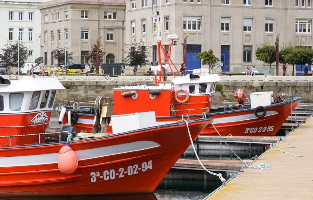
On solid ground, the heartbeat of the estuary concentrates within its fish markets and docks, serving as true nerve centers where commercial activity kicks off well before dawn. Ports such as Ribeira, Cambados, and the Tragove wharf operate as high-precision logistics terminals. Here, catches brought in by both artisanal inshore fleets and shore gatherers are sorted, weighed, and auctioned through automated systems connecting Galician markets with major European distribution hubs in real time. Efficiency at this link in the supply chain is critical: the product must travel from water to final consumer within a minimal window of hours to guarantee absolute freshness and market value.
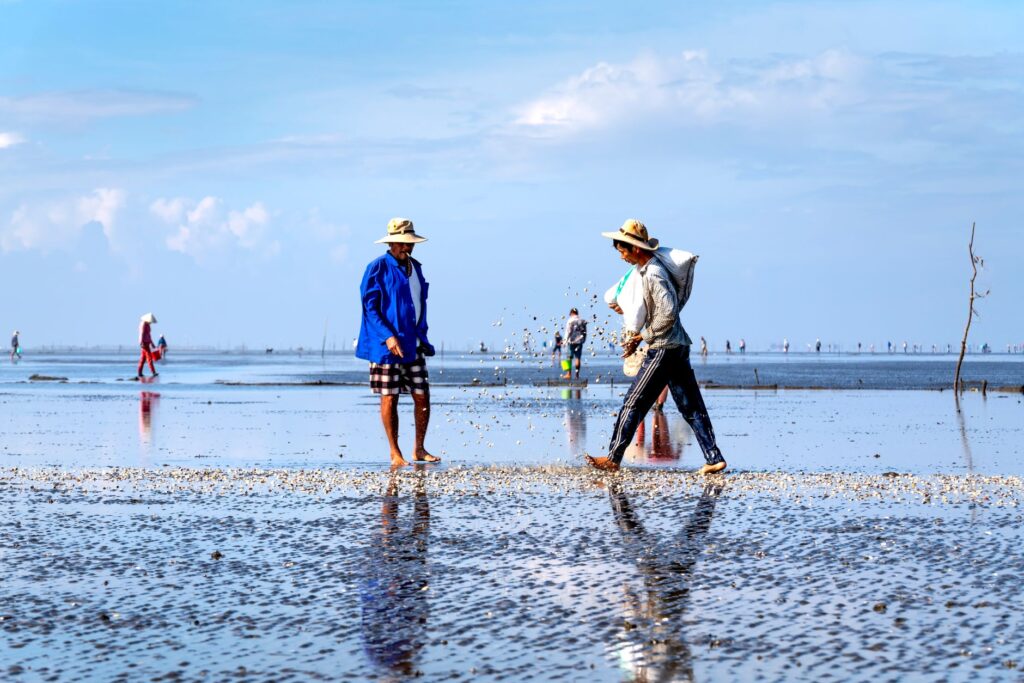
Women shellfish gatherers, organized into associations within the local guilds, represent the social heart of this system. Equipped with scrapers, wading stilts, and auxiliary boats when harvesting offshore, they take advantage of spring tides to harvest fine clams, grooved carpet shells, and cockles. Connectivity in this artisanal extraction mode relies on paved rural lanes descending right down to the shoreline, allowing rapid access for refrigerated vans directly to the harvest zones. This symbiosis between secondary roads and sandy beaches illustrates how terrestrial and maritime infrastructures merge into a single productive purpose.
The Arousa Bridge and the Road Transformation of Insularity
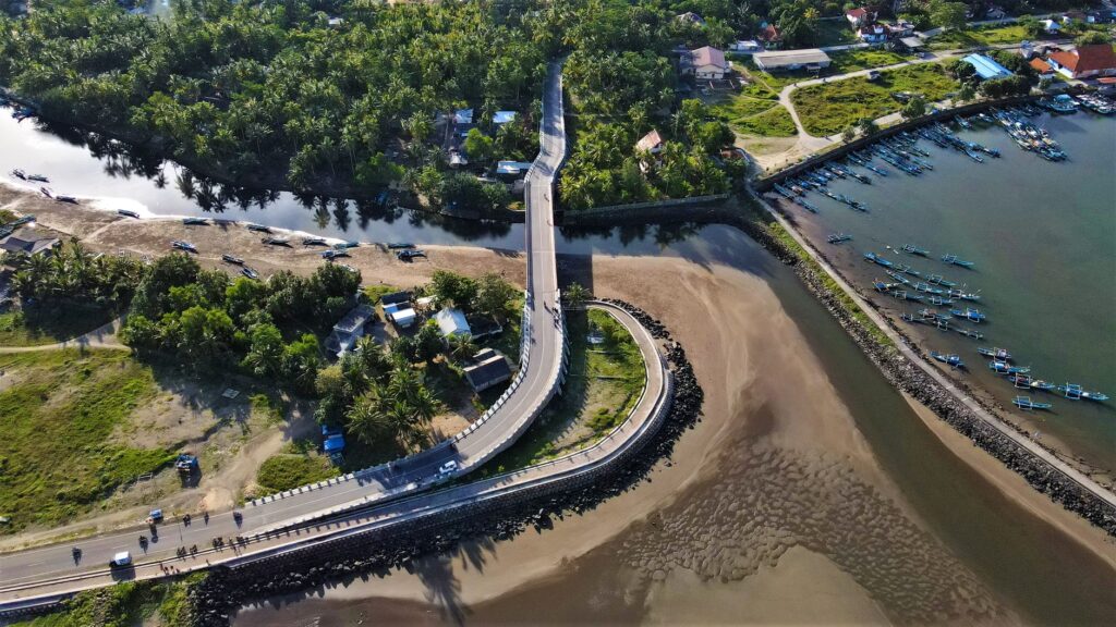
For centuries, the only way to reach Arousa Island—the quintessential insular municipality of the estuary—was via passenger boats and wooden rowing craft crossing the narrow channel from O Grove or Vilanova. However, this relative isolation changed dramatically in 1985 with the inauguration of the Arousa Bridge, a nearly two-kilometer road viaduct that marked a milestone in Galician civil engineering. This bridge drastically transformed the island’s connectivity, integrating its economy directly into the road network of the Salnés region and facilitating heavy freight transport without exclusive reliance on ferries.
The construction of the bridge sparked a profound sociological debate between advocates of economic modernization and those fearing the erosion of insular identity. Today, the balance shows a unique adaptation: although road traffic remains steady year-round, the island has successfully preserved its natural spaces, such as the O Carreirón Natural Park, by strictly limiting massive urban sprawl. Former ferry routes have yielded to public road transport fleets and heavy bicycle tourism traffic, with visitors crossing the panoramic viaduct while admiring sweeping views of sandbars and surrounding mussel platforms.
Despite road connectivity, the maritime umbilical cord remains vibrantly present in the daily lives of Arousa residents. Pleasure craft, traditional fishing skiffs, and pilot boats continue to use the channel beneath the bridge as a mandatory passage. The coexistence between private motor vehicles and wooden rowing boats reflects the daily rhythm of a smooth transition between two worlds: the asphalt highway and the tidal route.
Lighthouses and the Historical Signposting of Navigation Channels
Navigating the Arousa Estuary without profound bathymetric knowledge can prove extremely hazardous due to numerous rocky shallows, submerged ledges, and shifting sandbanks. To guarantee safety across this aquatic labyrinth, maritime authorities have deployed centuries-old networks of lighthouses, beacons, and illuminated buoys acting as silent guardians for commercial and artisanal navigation. Landmarks such as the Rúa Island lighthouse and minor islet beacons serve as essential landfall points for skippers heading back from open-sea fishing grounds into the sheltered waters of the inner estuary.
The Rúa Island lighthouse, standing tall upon a completely isolated, wave-lashed islet, exemplifies the solitude and ruggedness of the lighthouse keeper’s trade in bygone eras. Now fully automated via solar energy and remote telemetry, this geographical landmark continues guiding fishing vessels returning from the open ocean toward safe inner waters. Signage infrastructure is complemented by coastal radars and maritime traffic control stations located in major ports, ensuring that heavy cargo ships and minor craft coexist without collision risks within narrow navigation channels.
Minor Cabotage Routes and Passenger Transport Between Docks
Beyond commercial cargo and shellfishing, the Arousa Estuary maintains a lively network of regular passenger transport lines and minor cabotage routes linking major tourist ports. During the summer months, sightseeing catamarans and local ferry lines increase their frequencies, allowing travelers and residents alike to commute between Vilagarcía, Vilanova, A Illa de Arousa, and the historic town of Cambados via crossings offering privileged vistas of the mussel raft landscape.

These maritime routes fulfill more than a merely touristic function; they form part of the region’s sustainable mobility strategy, easing congestion on regional highways during peak summer visitor influxes. The captains steering these vessels know every nook and cranny of the coastline, reading surface currents and sea states with a dexterity no digital system can fully replicate. The ticket for these local ferries serves, in essence, as an all-access pass to the intimate seafaring soul of the estuary, inviting travelers to experience the unhurried pace of traditional water transport.
Practical guide
How to get there: The Arousa Estuary is exceptionally well-connected by road via the Salnés Expressway (AG-41), linking directly with the AP-9 highway. The closest international airports are Santiago de Compostela (SCQ) and Vigo (VGO), both situated approximately 45 to 50 minutes by car from the estuary’s main ports.
Local transport: To explore the coastline and ports, renting a car offers the greatest flexibility, but utilizing local catamarans and ferries is strongly recommended for crossing between islands and touring mussel farms. Bicycle rental is ideal for exploring Arousa Island thanks to its network of coastal paths.
When to visit: Spring and early autumn offer optimal weather conditions with fewer tourist crowds. Summer is ideal for enjoying regular maritime routes, though advance booking is recommended for guided raft excursions.
Gastronomy and markets: Visiting local fish markets during morning auctions and tasting PDO mussels at seaside restaurants in Cambados, Vilanova de Arousa, and O Grove is an absolute must.
Emotional Epilogue Facing the Sunset Over Mussel Rafts
As the sun begins to dip toward the Atlantic horizon, the Arousa Estuary transforms into a canvas of copper and violet hues where the silhouettes of mussel rafts carve out perfect geometric shapes against the blazing sky. In that moment of apparent stillness, the last inshore fishing boats glide slowly back to port, leaving frothy trails across the glassy water surface. Gulls wheel in lazy circles seeking refuge among rock formations, while the gentle murmur of the incoming tide laps against stone pier pilings. In this seafaring corner of Galicia, connectivity is never merely a matter of engineering or port logistics; it is an invisible, eternal bond between humanity and the sea—a slow pulse surviving the passage of time and the shifts of modernity.