
Origins of a Line Against Gravity and Abyss
In the northern Peloponnese, where the northern foothills of Mount Aroania plunge toward the Gulf of Corinth with an almost unappeasable geological violence, human hands decided to trace one of Europe’s most daring railway arteries. The Diakofto-to-Kalavryta rack railway was born neither as a touristic whim nor as a mere recreational route for contemporary travelers, but as an imperative necessity for territorial integration in the late nineteenth century. Under the supervision of French and Italian engineers hired by the Hellenic government of Dimítrios Rállis, the project took legal and constructive shape in 1889, framed within an ambitious national infrastructure modernization plan aimed at stitching together the orographic wounds of a country deeply fractured by its mountain ranges.
The choice of a metric track gauge—precisely 750 millimeters—responded to an equation where the scarcity of physical space within the Vouraikos River canyon and extremely tight curve radii demanded agile rolling stock capable of winding along impossible cornices. Through seven years of grueling labor, during which crews of local workers and foreign specialists blasted tunnels with pickaxes and dynamite under the constant threat of limestone rockfalls, the line advanced meter by meter. When the first smoking convoy completed its inaugural journey in 1896, it not only linked the coastal strip of the gulf with the historic plateau of Kalavryta, situated over seven hundred meters above sea level, but also established an ongoing dialogue between industrial technology and the fury of natural elements that endures intact to this day.
The Anatomy of the Ascent: When Steel Bites the Rock
The true marvel of the Vouraikos lies in its mixed traction system, a sophisticated combination of traditional adhesion and steel teeth that allows railway formations to overcome gradients that would render any conventional track unviable. On flat sections or moderate slopes, locomotives advance through the classic friction between steel wheel and rail; however, as soon as the slope exceeds the critical threshold—reaching gradients approaching fourteen percent in the most severe sectors—the Abt double central rack system comes into play. At these critical points, gears located beneath the chassis of carriages and locomotives mesh millimetrically with the toothed bars arranged between the rails, ensuring safe and steady progress without risk of slipping due to moisture or ice.
This display of mechanical engineering was closely tied to the evolution of its rolling stock fleet. From venerable nineteenth-century steam locomotives manufactured in the Swiss workshops of Winterthur to modern diesel railcars acquired in recent decades, the line has successfully updated its technical core without altering the silhouette of its historical layout. Maintenance workshops located at the lower station of Diakofto continue to operate as sanctuaries of artisanal mechanics, where turners and fitters restore discontinued parts with millimeter precision. Every component of the friction braking and rack retention system undergoes rigorous inspections before each departure, as operators remain acutely aware that safety in this alpine gorge depends as much on technical rigor as on absolute respect for the laws of applied physics.
The Vouraikos Gorge: Natural Corridor and Geological Sanctuary
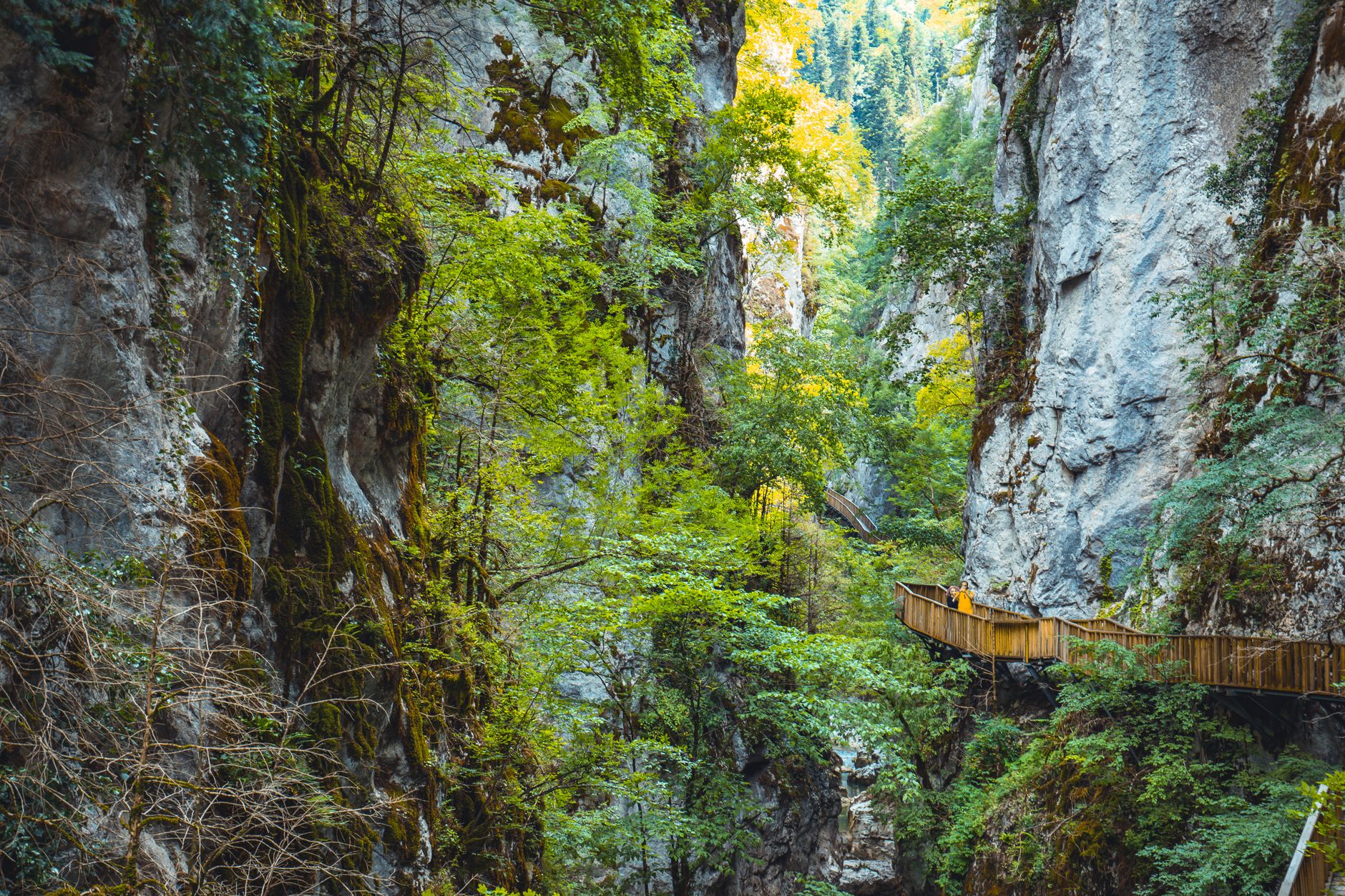
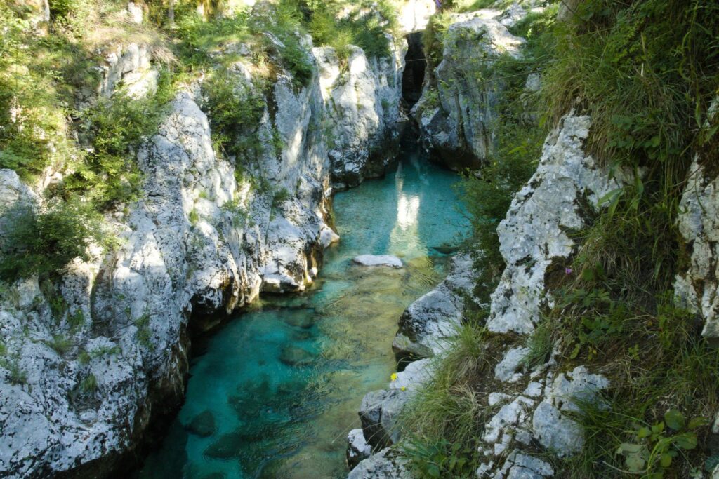
Flanking the Vouraikos canyon aboard the train means entering one of the most unique geological ecosystems in the Balkan Peninsula. The river, carving its bed for twenty-two kilometers between vertical limestone walls exceeding six hundred meters in height at certain points, has created a natural corridor where sunlight barely penetrates during the central hours of winter. Karstic formations harbor caves, potholes, and hollows where underground water emerges as crystal-clear springs feeding lush riparian vegetation composed of centuries-old oriental plane trees, wild oleanders, and Aleppo pines that defy gravity by rooting directly into rock ledges.
This geographic narrowness has turned railway infrastructure into something more than a simple transport route: it is the only practicable human penetration axis for miles around. The metal bridges leaping from riverbank to riverbank, tunnels excavated directly into living rock without concrete linings, and dry-stone masonry retaining walls built in the late nineteenth century form a cultural landscape where the industrial footprint merges with the canyon’s very morphology. For naturalists and hikers traversing the E4 European long-distance path—which runs parallel to the tracks, utilizing service walkways and bridges in many sections—the passing of the train represents an unmistakable sound milestone, a metallic echo bouncing off rock faces announcing human presence amidst absolute solitude.
The Vouraikos track is not merely a masterpiece of nineteenth-century mechanics; it is the backbone preventing the definitive isolation of high-mountain communities against relentless rural depopulation.
Life on Intermediate Platforms: Zachloro, Mega Spileo, and Triklona
Along the twenty-two kilometers separating the coast from the high plateau, the train makes strategic stops in small enclaves that for decades depended exclusively on this silver thread for their provisioning and communication with the outside world. Stations like Zachloro, nestled in a gorge so narrow that building rooftops seem to touch cliff walls, act as geographic and emotional hinges. From this exact point, a historic funicular and a steep bridle path ascend to the imposing monastery of Mega Spileo, hanging literally over a volcanic rock abyss and considered one of Greece’s oldest Christian cenobits.
These intermediate stops respond not to mass tourism criteria, but to a community subsistence network that has successfully resisted the onslaught of road modernization. Local farmers, beekeepers harvesting fir honey on forested slopes, and transhumant shepherds use the convoy’s adapted freight cars to transport goods to markets in Diakofto and Patras. The relationship between drivers and inhabitants of these hamlets is one of absolute daily complicity; messages, correspondence, and household goods are exchanged at each technical stop, perpetuating a public transport model where the human factor and local scale take precedence over depersonalized industrial speed.
Socioeconomic Impact and the Transition Toward Sustainable Tourism
During the second half of the twentieth century, the opening of asphalted roads connecting the coast to Kalavryta via winding mountain passes threatened to relegate the rack railway to economic obsolescence. However, far from disappearing, the line underwent a profound functional mutation, successfully reconverting into a standard-bearer for sustainable rail tourism at the European level. Local administrations and national operators understood that the true value of the Vouraikos lay precisely in its deliberate slowness, in its refusal to compete with automobiles in terms of speed, offering instead an immersive experience of disconnection and aesthetic contemplation.
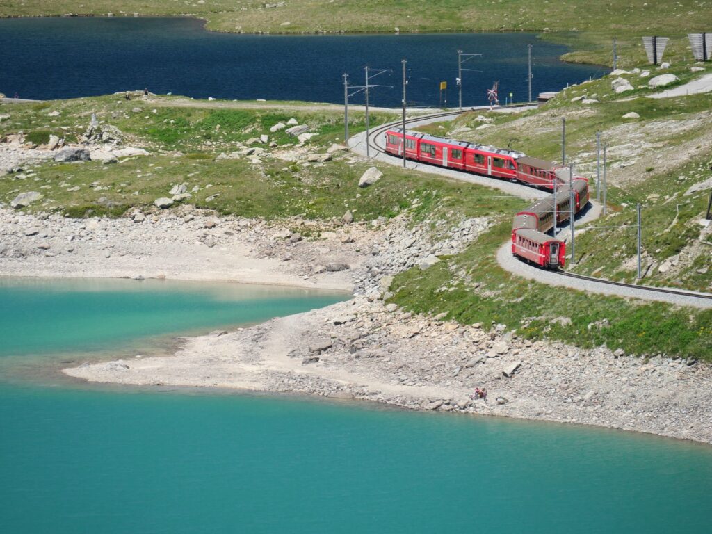
This transition has not been exempt from economic and logistical challenges. The infrastructure’s vulnerability to extreme weather events—such as flash floods triggered by winter storms or summer forest fires sweeping Mount Aroania’s slopes—demands constant investment in preventive maintenance. Clearing ditches, purging unstable rocks from slopes, and periodically replacing worn rack sections consume a substantial share of Hellenic Train’s operating budget. Nonetheless, the indirect economic return for the regional economy of the Achaea regional unit is incalculable, invigorating small rural hotels, traditional taverns, and craft shops in Kalavryta and its surroundings twelve months a year.
Conservation Challenges Amid Climate Vulnerability and Structural Wear
Maintaining centennial railway infrastructure in such an aggressive natural environment constitutes a permanent exercise in preventive engineering and risk management. Engineers in charge of the line face relentless hydraulic erosion each season caused by sudden floods of the Vouraikos River, whose waters, fed by spring snowmelt and intense Mediterranean rainfall, periodically undermine bridge abutments and masonry retaining walls. Added to this is the inherent geological instability of limestone slopes, subjected to continuous freeze-thaw processes during colder winter months, generating falling rock blocks that can invade the track clearance within seconds.
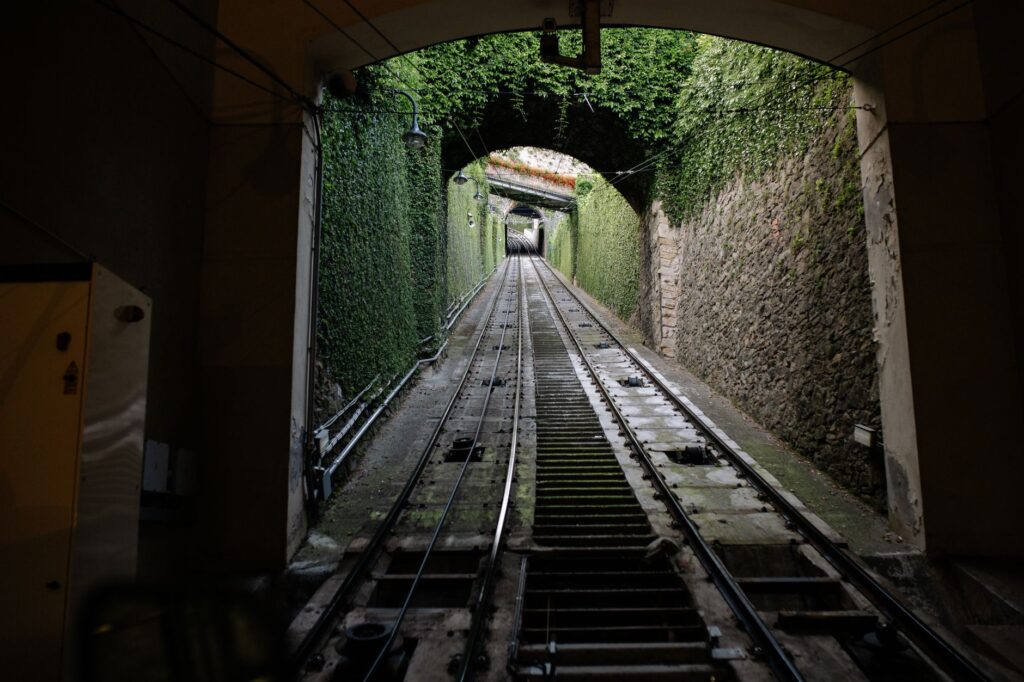
To mitigate these threats without altering the gorge’s heritage value, conservation teams combine traditional stone construction techniques with modern geotechnical monitoring systems. Movement sensors have been installed at critical slope points and high-resistance dynamic containment barriers capable of stopping heavy blocks before reaching the rails. Likewise, reforestation efforts with native species in degraded slope areas help stabilize soils naturally. This delicate balance between preserving industrial heritage and adapting to an increasingly volatile climate change scenario defines the railway’s operational roadmap for coming decades.
Preserving the Diakofto line does not mean mummifying a technical artifact in an open-air museum, but guaranteeing its daily operation as a living organism sustaining irreplaceable social and environmental ties.
Practical guide
How to get there: The starting point of the line is Diakofto station, accessible from Athens or Patras via regular national railway network (Hellenic Train) services or by private vehicle via the Olympia Odos highway (A8), taking the corresponding exit approximately two and a half hours from the capital.
When to travel: Although the line operates year-round, spring (April to June) offers the most photogenic river flow in the Vouraikos and an explosion of wildflowers in the gorge, while autumn brings golden hues to plane and chestnut forests at higher altitudes.
Tickets and reservations: Due to the limited capacity of railcars and high demand from domestic and foreign hikers, booking tickets weeks in advance through the official Hellenic Train online sales platform is strictly mandatory.
Logistics and equipment: Sturdy mountain footwear is recommended if combining the train journey with walking sections along the E4 path. Bringing light warm clothing is advisable even in summer, as temperatures drop noticeably inside the canyon and deep shadow areas.
The Final Echo of Rails on the High Plateau
When the railcar clears the final rack climbs and leaves the claustrophobic beauty of the gorge to enter the open grasslands of the Kalavryta plateau, the mechanical tension of the ascent gives way to a serene expanse of horizons. Station bells ring out to announce the convoy’s punctual arrival, a daily ritual repeating unperturbably for over a century under the indifferent gaze of surrounding mountains. At that precise moment, the traveler understands that the ultimate value of this journey lies not merely in the technical conquest of geography, but in human ingenuity’s capacity to weave lasting bonds of respect and harmonic dependence with the territory welcoming it, proving that slowness and human scale remain the best instruments to measure a landscape’s true magnitude.