
Introduction to the Great Free River
The Loire, the last great wild river in Western Europe, does not surrender easily to human control. Unlike other continental waterways straightened by concrete dikes and uninterrupted artificial channels, this river maintains a capricious dynamic of shifting sandbanks, unpredictable seasonal floods, and a flow rate that varies drastically between spring snowmelt and scorching summer drought. For centuries, this very natural resistance transformed the river into a premier commercial artery and, simultaneously, an impassable barrier. Today, venturing into its middle basin entails understanding a navigation system where historical engineering and ecological adaptation continue to converse daily under the watchful eye of châteaux that were once defensive strongholds and are now milestones of a cultural landscape protected by UNESCO.
For contemporary travelers seeking to decode the territory beyond the postcards of Orleans, Blois, or Tours, the key lies in following the wake of the ancient waterways. Commercial navigation on the Loire experienced its golden age between the 15th and 19th centuries, when heavy flat-bottomed barges, locally known as chalandes and toues cabannes, descended laden with Tuffeau limestone, wine, spices, and salt. This report examines how that logistical system operated, what remains of its lock infrastructure and secondary ports, and how current tour operators and municipal entities recover the memory of a river traffic that shaped the economy and architecture of an entire valley.

The Anatomy of Flat-Bottomed Barges
The design of traditional Loire watercraft responds strictly to the geomorphological demands of the riverbed. Lacking a constant depth and punctuated by shifting sandbars known as fouilles, the river made the use of deep-keeled hulls impossible. Ribbed shipwrights consequently developed boats with completely flat bottoms, wide planking, and shallow drafts, capable of floating on just a few centimeters of water. These vessels, originally built from local oak timber, moved with the current or ascended the course using the combined effort of trapezoidal sails and tracking from the bank, operated by men or teams of oxen known as halage.
The toues cabannes, characterized by their small wooden cabin designed to protect perishable goods and the boatman himself, became the undisputed symbol of river transport in the region. The maneuverability of these structures depended entirely on a long, removable rudder, the bâton de merlet, which allowed boatmen to skirt submerged obstacles without running aground. The expertise of Loire captains was passed down from generation to generation, an empirical knowledge essential on a route where the riverbed shifted position after every major seasonal flood, forcing crews to re-read the aquatic landscape continuously.
The Role of Port Waystations
Along the nearly one thousand kilometers of the river, small port villages such as Saint-Dyé-sur-Loire —which functioned as the official port for the nearby Château de Chambord— structured the economic life of the riverbank. In these enclaves, limestone docks received blocks extracted from the underground quarries of Bourré, ready to be loaded toward the royal palace construction workshops. Port logistics required perfect synchronization between land carters and river captains, turning the docks into bustling hubs of exchange where muleteers, Genoese merchants, Flemings, and crown administrators converged.
Hydraulic Engineering and Historical Locks
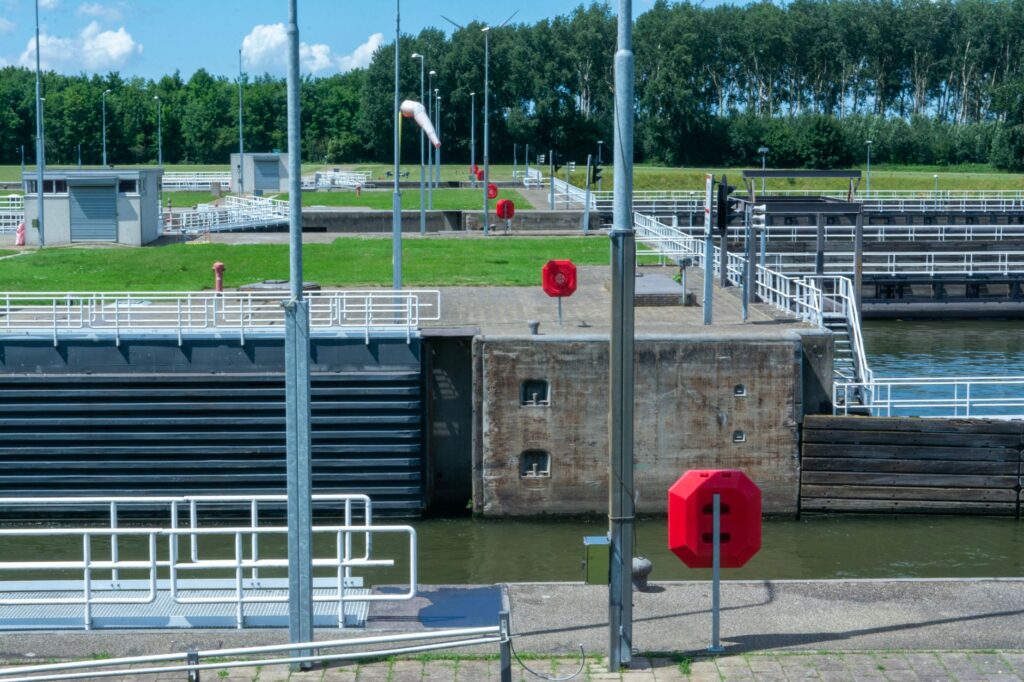
As transport demand grew during the 18th century, royal authorities and provincial states attempted to tame specific stretches by constructing lateral canals and lock systems designed to bypass the most dangerous rapids and shallows. The Briare Canal and the Lateral Canal to the Loire represent the most ambitious milestones of this hydraulic engineering policy. Conceived to connect the Seine basin with that of the Loire, these canals drastically reduced transport times and guaranteed a constant commercial flow even during severe low-water months, when the main river ran virtually dry.
The original locks, built with local ashlar masonry and hand-operated wooden gates driven by worm screws, demanded rigorous synchronization by lockkeepers known as éclusiers. These workers lived in characteristic cottages beside the gates, regulating the filling and emptying of the locks to raise or lower the barges with millimetric precision. The partial automation of certain gates in the 20th century has not erased the original layout of these waterways, which remain operational today primarily for recreational navigation and the heritage maintenance of the basin.
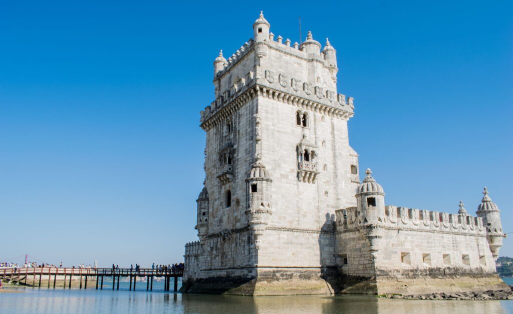
The Loire was never navigated against the current; it was negotiated through the patience of the wind and the communal strength of the riverbank.
The Challenges of Modern Maintenance
Managing a bicentennial hydraulic system within a protected natural environment poses colossal challenges to French authorities. Sediments swept along by floods tend to constantly silt up canal entrances and lock chambers, demanding periodic mechanical dredging operations that must strictly respect the nesting periods of protected birds and endemic riparian flora. Preserving these infrastructures aims not only to keep a tourist attraction alive, but to guarantee ecological connectivity and flood control in a densely populated valley.
Defensive Architecture and Territorial Control
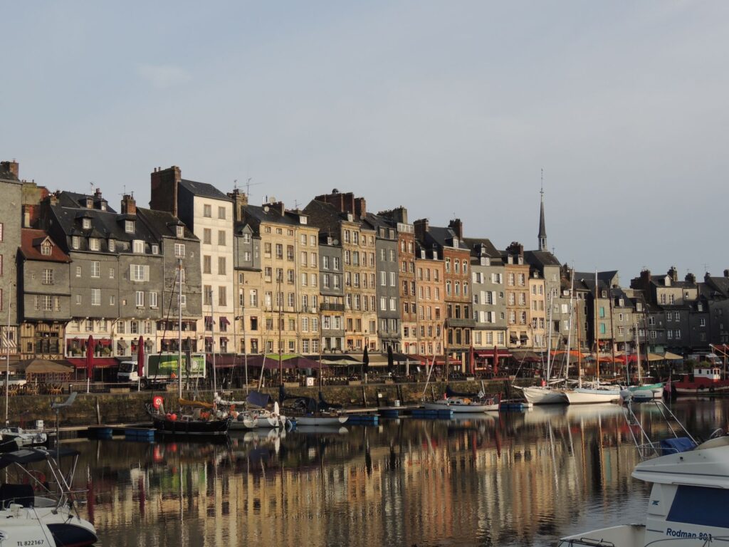
The strategic position of the river determined the proliferation of fortifications along its banks. Châteaux such as Chaumont, Amboise, and Langeais not only served residential or noble representative functions, but operated as toll stations and customs checkpoints over river traffic. Feudal lords and, later, the centralized monarchy levied taxes on every ton of cargo ascending or descending the channel, turning the river itself into a heavily policed fiscal highway controlled from fortified keeps.
This riparian military architecture reflects the technological evolution of medieval and Renaissance combat. Gunports adapted for early artillery, visible in numerous bastions of the middle Loire, demonstrate that controlling the water required as much firepower as logistical capacity. The fortress walls loomed directly over the docks, ensuring that no watercraft could evade the payment of royal tariffs or the inspection of its holds by salt-tax officials.
The Ecotourism Revival and Cycling Routes
In recent decades, the valley has undergone a profound transformation in its tourism connectivity model thanks to the development of La Loire à Vélo, a cycling route spanning over nine hundred kilometers running parallel to the river channel. This soft infrastructure has restored prominence to riverbank villages that had been marginalized following the arrival of the railway in the 19th century. Contemporary travelers can traverse the exact stretches once sailed by barges, alternating pedaling with journeys aboard traditional flat-bottomed boats managed by local heritage associations.
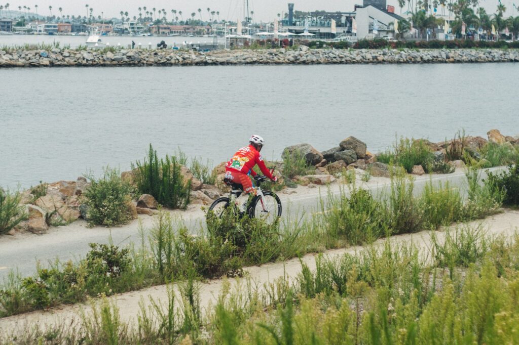
This sustainable river tourism fosters a respectful approach to the river ecosystem, designated a Biosphere Reserve by UNESCO. Local guides, experts in valley ornithology and geology, explain how ancient trade routes have given way to bird-watching itineraries —featuring species like the whiskered tern or the osprey— and the valorization of historic vineyards sprawling across alluvial terraces. The experience of navigating the Loire aboard a traditional toue allows visitors to grasp the human scale of the landscape, far removed from the rush of mass tourism.
Practical guide
- Getting There: The Loire Valley boasts excellent rail connections from Paris (Montparnasse or Austerlitz stations) via TGV and TER trains connecting in under an hour to key cities such as Orleans, Blois, Tours, and Angers.
- Best Time to Visit: Spring months (May to June) and early autumn (September to October) offer optimal temperatures for cycling and lower visitor density at major monuments.
- Traditional Navigation: Various local associations in towns like Chaumont-sur-Loire, Amboise, and Tours offer guided tours on traditional flat-bottomed barges. Advance booking is essential, as departures depend strictly on water levels and weather conditions.
- Accommodation and Dining: Former lockkeeper cottages and riverside villages host numerous independent rural lodgings. Local gastronomy features river fish (shad, mullet) prepared with Vouvray or Montlouis white wine sauces.
- Cycling Logistics: The La Loire à Vélo route is fully marked in both directions. The Train + Vélo service allows bicycles to be transported free of charge or at low cost on regional TER trains year-round.
Fluvian Epilogue Under Twilight Light
When the sun begins to set over the middle course of the Loire, the water acquires an amber hue that dissolves the borders between sky and sand. On the riverbank at Saint-Dyé, the wooden planks of a moored barge creak softly to the rhythm of a current flowing for millennia. The men and women who today mend sails or check mooring lines no longer seek to secure provisions for a Renaissance court, but rather to preserve an invisible thread of material memory. In that liquid silence, where the cry of herons occasionally breaks the calm, the river recovers its primordial sovereignty, reminding the contemporary traveler that the true great routes of human history are not measured by the speed of their asphalt, but by the silent persistence of their currents.