
In the heart of the North Atlantic, the island of São Miguel stands as a volcanic bastion where geography dictates its own rules of mobility. The secular isolation of this territory has demanded a constant adaptation of its infrastructure, transforming every mountain road and sheltered pier into a masterpiece of resistance against oceanic fury. Understanding this archipelago is not merely a matter of landscape contemplation, but an immersion into the complex network of arteries that keep its rural communities and historical ports alive.
The abrupt orography of São Miguel, shaped by extinct calderas and deep ravines, has historically dictated the layout of its pathways. From the black basalt cobblestone routes connecting northern tea plantations to the modern highways piercing mountain ridges, island transport reflects humanity’s permanent struggle to tame an indomitable territory. Every hairpin turn and tunnel carved into volcanic tuff tells a story of isolation overcome by the pressing need for communication.
Volcanic Genesis and the Layout of Ancient Paths
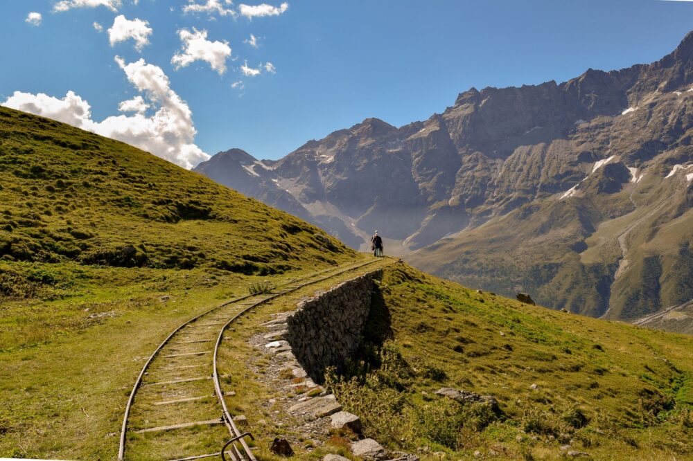
Before the advent of asphalt and heavy machinery, the early settlers of the 15th century relied on bridle paths sculpted over cooled lava flows. These primitive routes, locally known as cattle tracks, traversed the slopes of the seven cities and the foothills of the Fogo volcanic complex. Abundant and durable basalt became the foundational material for a road network prioritizing functionality over straight geometry.
The layout of these pathways strictly adhered to geological contour lines. Empirical engineers of the past had to cope with twenty percent gradients using nothing more than human muscle and animal traction. Today, many of these sections survive integrated into long-distance hiking trails, allowing contemporary travelers to feel the roughness of the original terrain. The durability of this porous basalt demonstrates an intuitive understanding of soil mechanics that still astonishes civil engineering experts today.

With modernization advancing through the twentieth century, these traditional routes underwent a radical transformation. Nevertheless, the volcanic topography continued to impose limits, forcing engineers to carve winding secondary roads crossing ridges wrapped in perpetual mists. The fog, known locally as nevoeiro, adds a layer of technical complexity requiring special signage and constant maintenance to prevent landslides on clay slopes.
Sheltered Harbors and the Architecture of Atlantic Cabotage
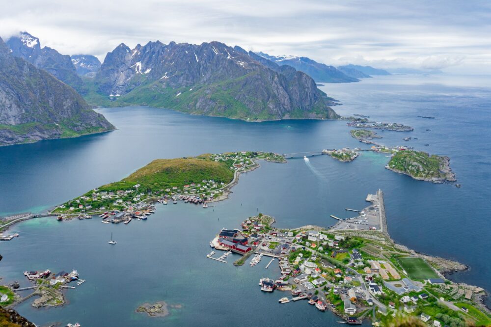
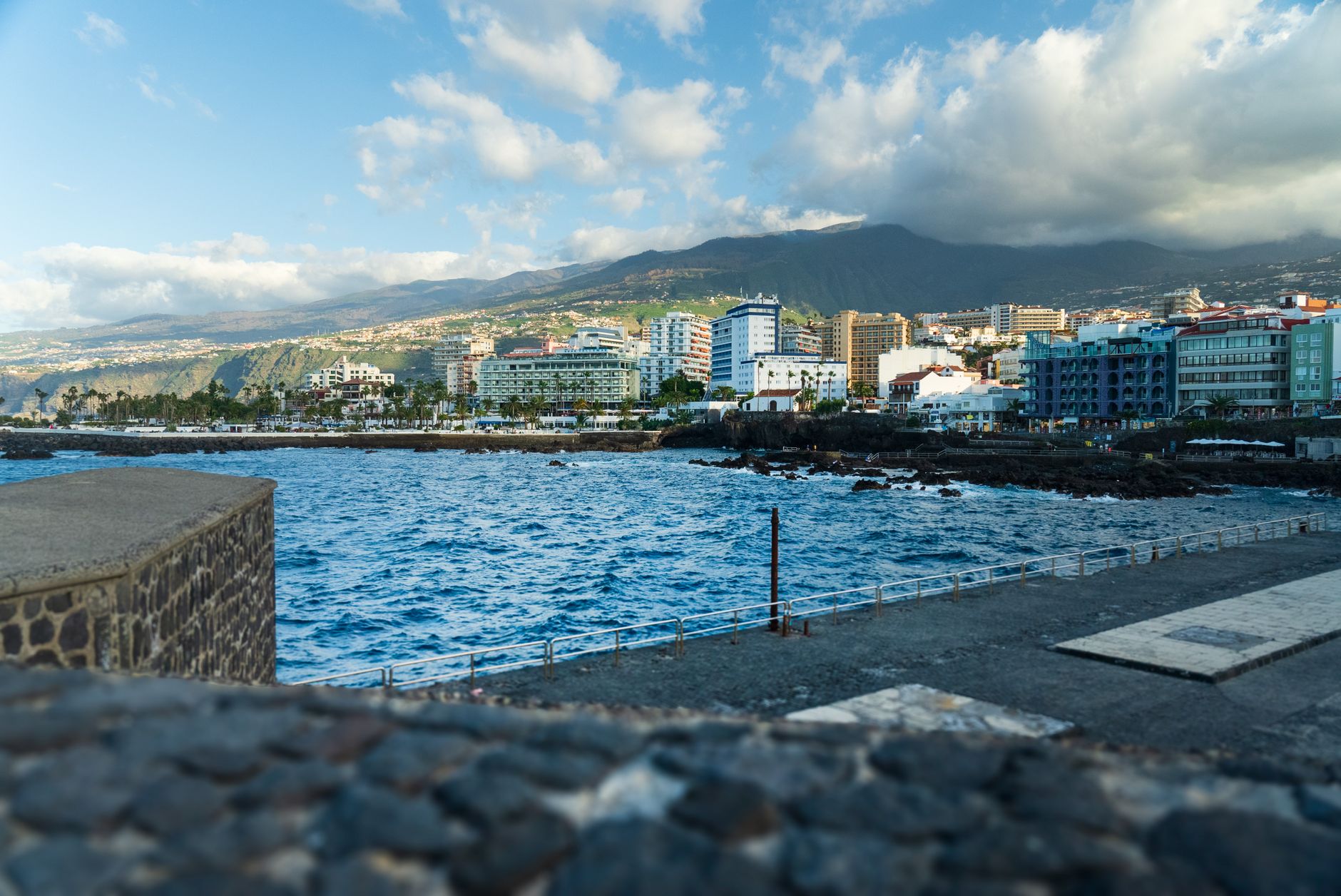
If the terrestrial road network defines São Miguel’s backbone, its sheltered ports act as the cardiac valves pumping the vital flow of cargo and passengers. The port of Ponta Delgada, the archipelago’s main harbor, has evolved from a natural anchorage protected by reefs into a deep-water dock capable of receiving transatlantic container ships and deep-sea fishing fleets.
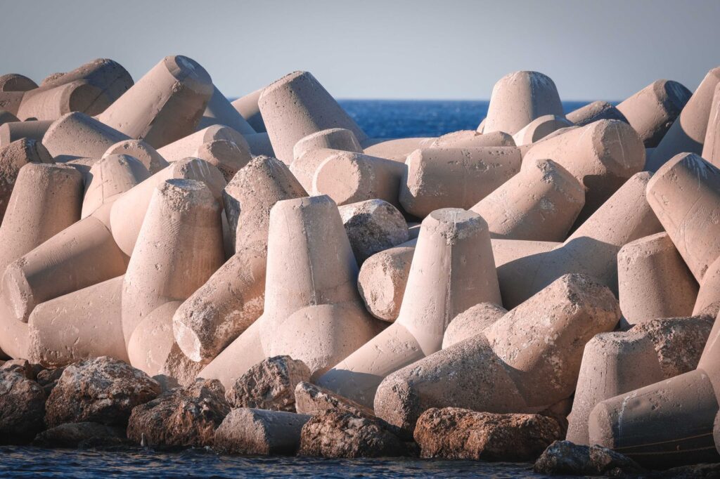
The construction and expansion of these port infrastructures have been marked by the constant threat of winter storms. Engineers have had to design breakwaters using massive blocks of interconnected concrete to dissipate the kinetic energy of waves rolling in from the Bay of Biscay. These massive structures contrast sharply with small artisanal ports scattered along the northern coast, such as Vila Franca do Campo or Ribeira Quente, where fishing boats rest on concrete ramps protected by traditional loose-stone breakwaters.
Insular cabotage, although subordinated today to high-speed air transport, maintains an irreplaceable strategic relevance for supplying heavy raw materials. Seasonal maritime connections allow the transfer of fuel, machinery, and agricultural products between the eastern islands and the European mainland. This umbilical dependence on the sea turns port authorities into critical guardians of island economic sovereignty.
Tunnel Engineering and Interior Connectivity
To break the secular isolation between the north and south of the island, the regional administration undertook an ambitious road-boring plan late last century. The most notable result of this effort is the tunnel piercing the Serra de Agua de Pau massif, an engineering feat that drastically reduced travel times between Ponta Delgada and the northern coast of Ribeira Grande.
Executing this infrastructure required advanced rock-support techniques due to the instability of pyroclastic materials and perched water tables inside the mountain. Complex drainage systems and triple-twist mesh ensure that constant water seepage does not compromise the structural stability of the tunnel. This work not only shortened physical distances but economically integrated communities that for centuries lived with their backs turned to one another.
Interior connectivity is complemented by a network of steel-girder and reinforced-concrete bridges spanning deep river ravines. These structures, designed to withstand hurricane-force winds and moderate seismicity, are tangible testimony to how contemporary technology dialogues with a geological environment under constant tectonic tension.
The Agrarian Pulse and Rural Mid-Altitude Roads
São Miguel’s mid-altitudes, situated between coastal pastures and forested summits, host a dense network of rural roads sustaining the island’s primary export industries: dairy farming and tea cultivation. These secondary roadways, bordered by dry-stone walls draped in hydrangeas, form a unique landscape mosaic where agricultural functionality and rural aesthetics merge.
The rural road in São Miguel is not merely a transit line, but a living archive where the memory of basalt and human endeavor remains unaltered by time.
The upkeep of these rural paths often falls to local parish councils, combining light machinery with traditional masonry techniques. Preserving dry-stone walls is vital to prevent the erosion of volcanic soils during torrential autumn rains. Without this capillary infrastructure, transporting fresh milk from dairy farms to cooperative processing plants would be physically unfeasible.

Likewise, paths winding through the Gorreana tea plantations—Europe’s oldest—demonstrate how hillside agriculture has shaped the landscape through terraced benches. Internal logistics for these operations require access roads adapted for low-profile agricultural vehicles capable of navigating steep slopes without damaging the delicate roots of Camellia sinensis plants.
Contemporary Challenges of Mobility and Island Sustainability
Over the past decade, the surge in international tourism has tested São Miguel’s infrastructural carrying capacity. Panoramic roads bordering the volcanic lagoons of Sete Cidades and Furnas experience congestion peaks during summer months, forcing authorities to rethink traditional mobility models and promote low-emission public transport.
The island transport strategic plan includes creating peripheral parking lots at major natural site entrances, complemented by electric shuttle bus services. This transition aims to mitigate the private vehicle’s environmental footprint in fragile ecological areas, where carbon footprints and shoulder erosion threaten the endemic biodiversity of laurisilva forests.
- Progressive deployment of electric bus fleets on high-density interurban routes.
- Road traffic restrictions at volcanic crater viewpoints during peak tourist season.
- Preventive slope maintenance via satellite remote sensing to anticipate landslides.
- Expansion of segregated bike lanes along coastal corridors connecting Ponta Delgada to Lagoa.
Integrating intelligent transport systems enables real-time monitoring of vehicular flow and optimizes emergency response times for geological accidents. This digital modernization is the new front in the millenary battle to keep an island connected that constantly defies oceanic boundaries.

Practical guide
Planning a journey through São Miguel’s transport infrastructure and landscapes requires understanding the meteorological and logistical particularities of the Atlantic archipelago.
How to get there: Ponta Delgada International Airport (PDL) receives direct regular flights from Lisbon, Porto, and major European and North American capitals, operated by both legacy and low-cost carriers.
Internal transport: Renting a private vehicle is the most flexible option for navigating the mid-altitude road network and high-altitude viewpoints. It is advisable to select compact vehicles with good engine power to cope with steep gradients and tight parking spots in historical centers.
Maritime connections: Passenger and vehicle ferries operate between the eastern group islands (São Miguel and Santa Maria) year-round, managed by Atlanticoline, though schedules are subject to sea weather conditions.

Best time to visit: Between May and September, weather conditions are more stable, offering better visibility on mountain roads and lower probability of port and airport cancellations.
Driving precautions: Sudden fog in high zones (such as Serra do Cume or Lagoa do Fogo) requires drastic speed reduction. Additionally, speed limits on secondary roads must be strictly respected due to occasional stray livestock and agricultural machinery.
The Echo of Basalt in the Atlantic Memory
At the end of the journey, when the lights of Ponta Delgada’s coast reflect upon the dark surface of the harbor and the distant murmur of the Atlantic rocks the stone piers, the certainty remains that São Miguel is much more than a postcard tourist destination. It is a living lesson in human engineering and incessant adaptation to the natural environment.
The dark stones paving its roads, the tunnels defying the volcanic core, and the breakwaters halting the fierce tide are the invisible threads of an island fabric that knows no resignation. Every traveler traversing these routes walks through a collective work built over centuries, where oceanic isolation paradoxically becomes a permanent bridge to the purest essence of human endurance.