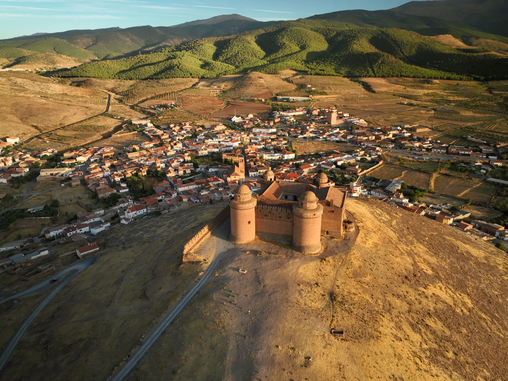

Peninsular high-mountain terrain conceals on its southern slopes a labyrinth of ridges, glacial cirques, and ravines where snowmelt sculpts limestone beneath a blinding sky. Traversing the buttresses of Sierra Nevada is no simple summer stroll; it constitutes a test of endurance and navigation in an environment where altitude, the scarcity of stable water sources, and extreme temperature fluctuations demand meticulous planning. Far from overcrowded trails, hikers venturing into this granite and limestone stronghold must understand alpine biomechanics and the complex meteorology sweeping Europe’s southernmost three-thousanders.
Approaching this landscape requires stripping the journey of naive romanticism and replacing it with technical rigor. From the brushwood vegetation line to the desert-like stone fields of the summits, each day of marching tests the traveler’s adaptability. Analyzing orography, understanding western wind patterns, and managing pack weight with absolute precision are the fundamental pillars supporting a safe expedition respectful of a fragile protected ecosystem.
The Geography of Cold and Stone: Anatomy of an Extreme Massif
Sierra Nevada’s relief impresses with its sudden verticality. Within just a few linear kilometers, the landscape shifts from the fertile valleys of Granada’s agricultural basin to peaks crowned by perennial snow patches. This topographic arrangement generates highly localized microclimates where midday’s scorching sun can transform within minutes into a dry electrical storm or hurricane-force gusts blowing from the Alboran Sea.
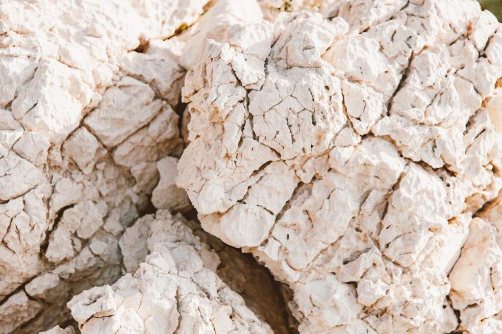
The geological substrate combines soft slate in lower zones with pure limestone massifs at higher elevations. This duality drastically conditions surface drainage: while meltwater streams flow swiftly in spring, summer slopes dry out completely, forcing the mountaineer to carry adequate water reserves or know the traditional catchment points still holding out at the bottom of glacial cirques.

Vegetation undergoes a radical mutation as elevation increases. Kermes oak and Mediterranean holm oak forests progressively give way to high-mountain scrub, a dense, spiny brush that carpets slopes up to two thousand five hundred meters. Above this threshold, the domain belongs exclusively to bare rock, crustose lichens, and botanical endemics adapted to extreme ultraviolet radiation and sub-zero winters.
Temporal Planning and Seasonality: When and How to Undertake the Trek
Choosing the right moment to begin the traverse determines expedition success or failure. Although summer temptation draws the majority of hikers, July and August impose severe environmental dryness and daytime temperatures exceeding thirty degrees on south-facing slopes, dropping sharply after sunset.
The ideal months for a technical traverse fall between the second half of June and the first weeks of July—when winter snowpacks still feed high-altitude streams and days are longest—or during September, once summer storms have cleared and the terrain has settled. Traveling in winter or advanced spring turns the route into a full winter mountaineering expedition, requiring systematic use of crampons, ice axes, and advanced self-arrest skills on frozen slopes.
Physical preparation must begin at least six months before departure. Daily cumulative elevation gains, frequently exceeding twelve hundred positive meters with gradients surpassing thirty percent, severely punish extensor muscles and joints. Training sessions must prioritize eccentric strength in quadriceps and relative hypoxic aerobic capacity.

Weight Management and Technical Gear for Self-Sufficiency
The classic dilemma of long-distance hikers—balancing lightness with safety—acquires a critical dimension in this massif. Given that guarded or open refuges are separated by full days of marching, backpacks must contain emergency bivouac gear, water filtration systems, a three-layer technical clothing system, and high-calorie rations calculated to the gram.
Footwear demands special attention. High-cut mountain boots with high-traction soles and waterproof yet breathable membranes are essential for protecting ankles in loose stone fields known locally as dry pastures or slate cliffs. Trail running shoes, though popular in other ranges, prove insufficient against the aggressiveness of limestone terrain and the need to carry packs exceeding fifteen kilograms.
Hydration systems must account for both carrying capacity—at least three liters per person—and chemical or mechanical purification methods. Natural springs located below high-altitude pastures may be contaminated by free-roaming equines and cattle grazing during the warm months.
Navigation, Cartography, and Terrain Reading Without GPS Signals
Technological dependence on mobile devices or smartwatches can prove fatal in an environment where mountain fog descends with blinding speed, erasing visual cues. The experienced mountaineer never dispenses with 1:25,000 scale printed cartography and a properly calibrated magnetic compass.
Stone cairns marking some traditional paths are useful on clear days, but often disappear beneath snowpacks or prove ambiguous on summit plateaus. Knowing how to triangulate position using prominent peaks as visual landmarks is a fundamental skill that must be mastered before stepping onto main ridges.

The mountain yields to neither haste nor arrogance; every step on the high summit is a silent negotiation between human will and the implacable architecture of stone.
The use of a barometric altimeter, constantly calibrated at known geodetic points, provides immediate control over vertical progression, allowing estimates of remaining time until the next shelter or protective col before daylight fades.
Progression Strategy and Biological Rhythm at Altitude
Exceeding three thousand meters of altitude without adequate prior acclimatization exposes the body to acute mountain sickness, whose initial symptoms—frontal headache, nausea, and disproportionate fatigue—compromise group safety. The golden rule is to ascend slowly, sleeping at progressively higher elevations during days prior if coming from sea level.
The marching pace must be strictly conversational during early morning hours. Pushing hard on initial ramps depletes glycogen stores before reaching key route waypoints. Technical stops should be brief, lasting no more than five minutes to prevent body cooling and muscle stiffness, saving the central hours of the day for major caloric intakes.
Conservation and the zero-impact ethic within protected areas are paramount; the Sierra Nevada National Park harbors a unique botanical heritage with dozens of exclusive plant species growing nowhere else on Earth. Stepping off marked trails destroys entire colonies of rupicolous flora that take decades to regenerate in such nutrient-poor soil.

Practical Guide
How to Get There: The main access to the massif is through Granada city. Alsa bus lines connect the station with strategic points like Güéjar Sierra or Capileira. By private vehicle, the A-395 highway ascends to the vicinity of Pradollano, gateway to ski lifts and high-altitude trails.
Permits and Regulations: Free camping is strictly regulated. Bivouacking (pitching a tent at sunset and dismantling at sunrise) is permitted above 2,000 meters in the peripheral zone and 2,500 meters in the core zone, provided no fixed structures are used and a prudent distance is maintained from guarded refuges and water springs.
Refuges and Overnight Stays: Guarded refuges like Poqueira offer bunks, blankets, meal services, and emergency radio equipment. Open refuges (such as La Caldera or Villaviciosa) are free of charge but lack amenities; occupancy is strictly on a first-come, first-served basis, and it is the mountaineer’s responsibility to carry a sleeping pad and appropriate sub-zero sleeping bag.
Recommended Season: From June 15 to July 15 and September 1 to September 30. Avoid winter months unless possessing specific winter mountaineering training and hard-snow progression gear.
Mandatory Equipment: High-cut mountain boots, 40-50 liter backpack, sleeping bag rated to at least zero degrees Celsius comfort, water purification system, first-aid kit, thermal blanket, headlamp with spare batteries, and printed topographic maps.
Connectivity and Safety: Mobile phone coverage is extremely irregular and non-existent in deep valleys and northern slopes. Carrying a satellite communication device or emergency beacon is strongly advised, alongside sharing the planned route with family before departure.
Estimated Budget: A self-sufficient five-day traverse has a very low cost when staying in open shelters and carrying one’s own food, limited to public transport expenses and minor supplies. Choosing guarded refuges for overnight stays and dinner requires a daily budget calculation between fifty and eighty euros per person.
The definitive silence of the summits is not granted to those who travel in haste, but to those who accept the slowness of stone and the measured rhythm of their own breathing. Upon reaching the final col, when the massif’s shadow projects across distant Mediterranean horizons, the traverse ceases to be a mere physical exercise and becomes an intimate transformation. Behind lie the hours of effort beneath the midday sun, the measured weight of every item in the pack, and the contained tension of steps on unstable rock. In that moment of absolute stillness, sustained by the vastness of the southern landscape, we understand that true conquest was never the peak, but the capacity to inhabit, if only for a few days, the austere and luminous eternity of the mountain.