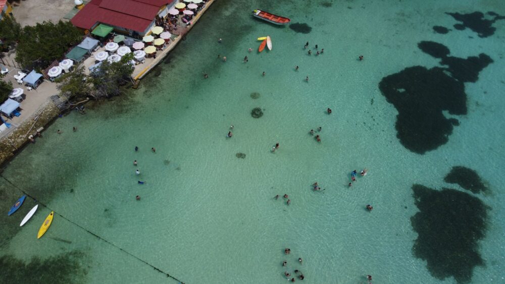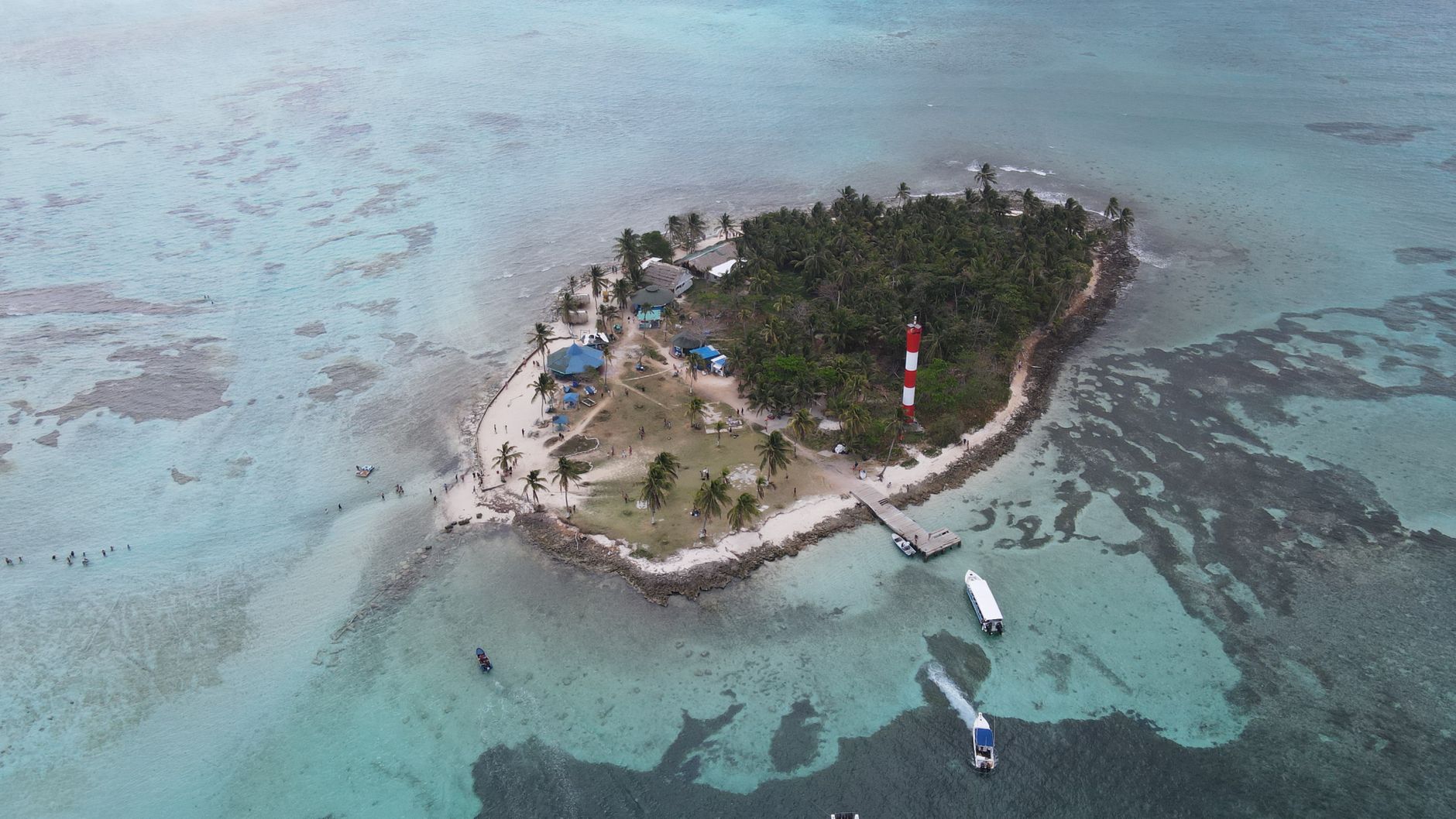

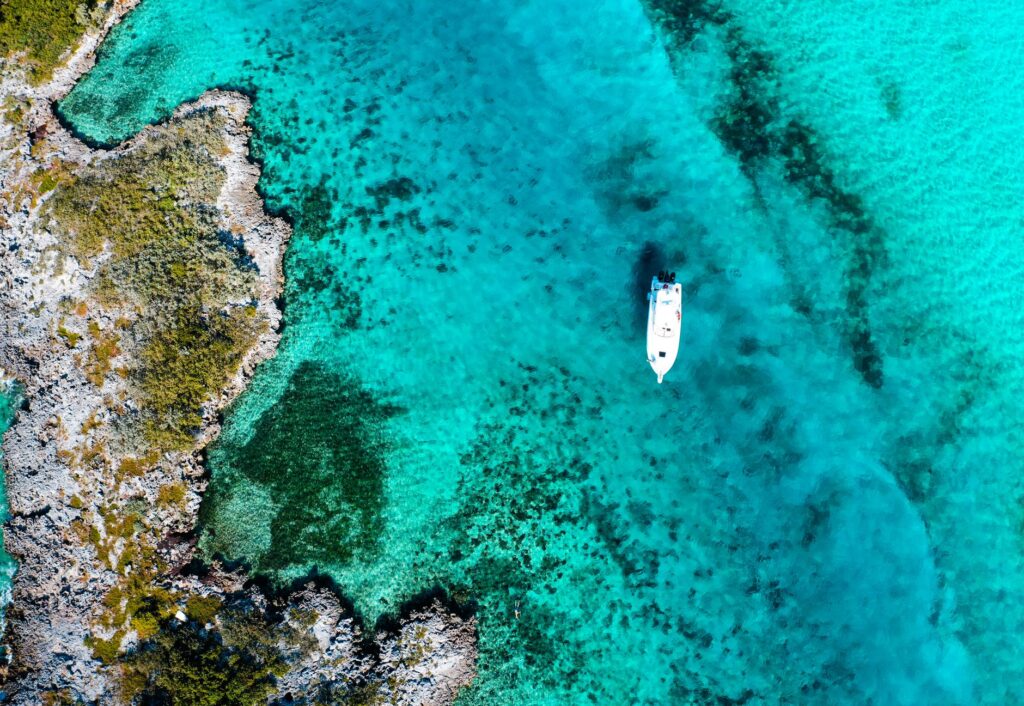
The San Blas Archipelago, officially known as the indigenous comarca of Guna Yala on the Panamanian Caribbean coast, represents one of the most unique and challenging sailing environments in the Americas. Comprising over three hundred and fifty coral cays scattered across a sea of turquoise and emerald hues, this marine labyrinth demands of the navigator not only technical skill in precision cartography, but also a deep respect for the sovereignty, culture, and strict regulations of the Guna people. Unlike other commercial Caribbean sailing routes, here the trade wind blows with unpredictable force through narrow channels, and the abundance of patch reefs transforms every passage into a constant exercise of visual reading of the sea floor.
Planning a sailing expedition through these waters requires understanding that autonomy is not an option, but an indispensable requirement. Technical support infrastructure is practically non-existent outside of small local settlements, forcing skippers to set sail with the entirety of the water, energy, and mechanical supplies necessary for weeks of self-sufficiency. Local currents, influenced by continental river discharges and winter cold fronts, can alter the anticipated drift, turning the digital nautical chart into a reference tool that must always remain subordinate to visual inspection from the masthead or the bow of the vessel.
Coral Geography and the Challenges of Modern Cartography
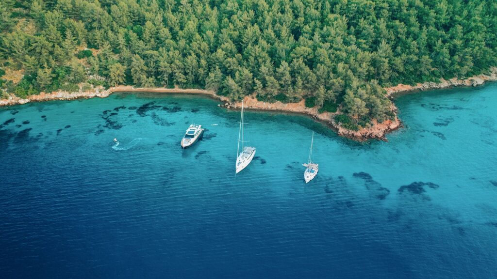
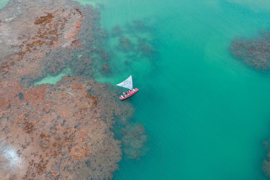
The primary technical hurdle when navigating Guna Yala lies in the nature of its geological substrate. Barrier reefs and emerged atolls are in a constant state of growth and modification, meaning many shallow coral formations do not appear with millimeter accuracy on electronic global positioning systems. Experienced skippers know that chartplotter usage must be compulsorily complemented by navigation under high sunlight, preferably between ten in the morning and two in the afternoon, the moment when the light incidence angle allows for the clear distinction of dark coral patches against the white sand.
Entering protected anchorage areas, known locally as placitas or coves bordered by mangrove cays, demands a drastic reduction in speed and the continuous use of a hand or digital depth sounder. A miscalculation of just a few meters can leave a vessel stranded upon heads of live coral, the ecological damage of which is as severe as the mechanical harm to the hull or rudder. The golden rule in San Blas is to always proceed at safe speed, with a lookout posted at the bow capable of communicating through pre-established hand gestures any change in water coloration denoting the presence of shoals.
Relations with the General Guna Congress and Territorial Governance
Navigating the waters of Guna Yala means entering an autonomous territory zealously administered by its own traditional and political authorities. The General Guna Congress strictly regulates the access of foreign vessels through the collection of anchoring fees, navigation permits, and specific authorizations to land on island communities. Ignoring these protocols constitutes not only a legal infraction under Panamanian law, but a direct affront to a people who have defended their territory and cultural identity against external pressures for centuries.
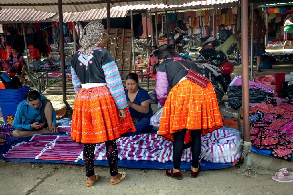
Before anchoring off inhabited islands such as El Porvenir, Chichime, or Aguja, visiting crews are legally and morally obligated to report to the Saila (traditional leader) or local secretary to pay community contributions and receive guidelines for coexistence. Respect for community privacy and regulations prohibiting the photography of certain individuals without prior consent is fundamental to maintaining harmony. Commercial exchanges must be conducted fairly, acquiring fresh fish, lobster, or handicrafts directly from local families, fostering a circular economy rooted in mutual cooperation.
Meteorology and Wind Regimes in the Caribbean Corridor
The climate of Guna Yala is dominated by northeast trade winds that blow with maximum intensity between December and April, frequently reaching gusts in excess of twenty-five knots in open channels between outer cays and the continental coast. During this period, sailing on a beat or broad reach can be physically demanding, generating a short, choppy sea state that tests standing rigging and deck attachment points. Carrying a robust sail inventory, preferably equipped with easy-to-reef systems manageable from the cockpit, is essential.
Conversely, the rainy season or calm period, extending from May to November, brings a decrease in wind strength alongside a notable rise in humidity, featuring afternoon thunderstorms accompanied by intense electrical activity. In these months, the primary hazard stems from squalls capable of shifting wind direction within minutes and unleashing violent gusts without prior warning. Anchorages sheltered from northern and western winds become vital during the seasonal transition of tropical weather systems.
The true measure of a mariner in the Caribbean is not demonstrated by the speed with which they cross the open ocean, but by the finesse with which they glide their keel over the fragile frontier of the coral without leaving a trace or a sound.
Water Logistics and Onboard Energy Self-Sufficiency
Obtaining fresh water in the San Blas archipelago stands as one of the greatest logistical challenges for long-duration crews. The islands lack natural sources of high-quality potable water, and the supply transported from the mainland via barges is scarce and costly. For this reason, installing a high-efficiency watermaker onboard becomes a priority investment, though its operation must be carefully scheduled to avoid depleting the vessel’s battery banks.
Solar and wind energy management is equally critical due to variable cloud cover during the wet season. Flexible or rigid solar panels must be washed daily to eliminate accumulated marine spray salinity, which drastically reduces photovoltaic efficiency. Similarly, preserving perishable foods without relying on frequent commercial ports demands rational use of refrigeration systems and a firm commitment to consuming local seafood and produce from coastal markets on the adjacent Panamanian mainland.
Preventive Maintenance and Repairs in Isolated Environments
The remoteness of shipyards equipped with cranes and heavy machinery in San Blas means any major mechanical failure must be resolved using resources available onboard or through the ingenious resourcefulness of local mechanics ashore. Critical spare parts for the diesel engine, fuel filters, raw water pump impellers, and basic standing rigging and electrical components must form part of the vessel’s permanent inventory before setting sail from ports like Colón or Portobelo.

Galvanic corrosion caused by high salinity and warm Caribbean water temperatures ruthlessly attacks sacrificial anodes and exposed electrical connections. Periodic underwater inspections via free-diving are strongly advised to verify the condition of the propeller, shaft, and thru-hull valves. Preventing a mechanical failure in an exposed anchorage with a rocky bottom is the difference between a memorable voyage and a maritime emergency of unpredictable consequences.
Practical guide
- Documentation and Permits: It is mandatory to register the vessel and crew at the migration and harbormaster offices in Panama before setting course for Guna Yala, in addition to paying applicable fees at the General Guna Congress.
- Best Time to Sail: The months between January and April offer the most consistent trade winds and clear skies, albeit with rougher seas. The calm season runs from June to November, carrying a higher risk of squalls.
- Anchoring and Safety: Preferably use Delta or Spade-type anchors with adequate chain. Anchor exclusively over white sand bottoms and avoid dropping anchor directly on live coral heads.
- Recommended Autonomy: Carry sufficient fuel for at least one hundred engine hours, full reserves of dry provisions, and a functioning water desalination system.
- Communication and Connectivity: Mobile phone cellular signal is intermittent and restricted to high elevations or the vicinity of populated islands; carrying a satellite phone or VHF radio on channel 16 for emergencies is strongly recommended.