
Introduction to Relief and High-Altitude Economy
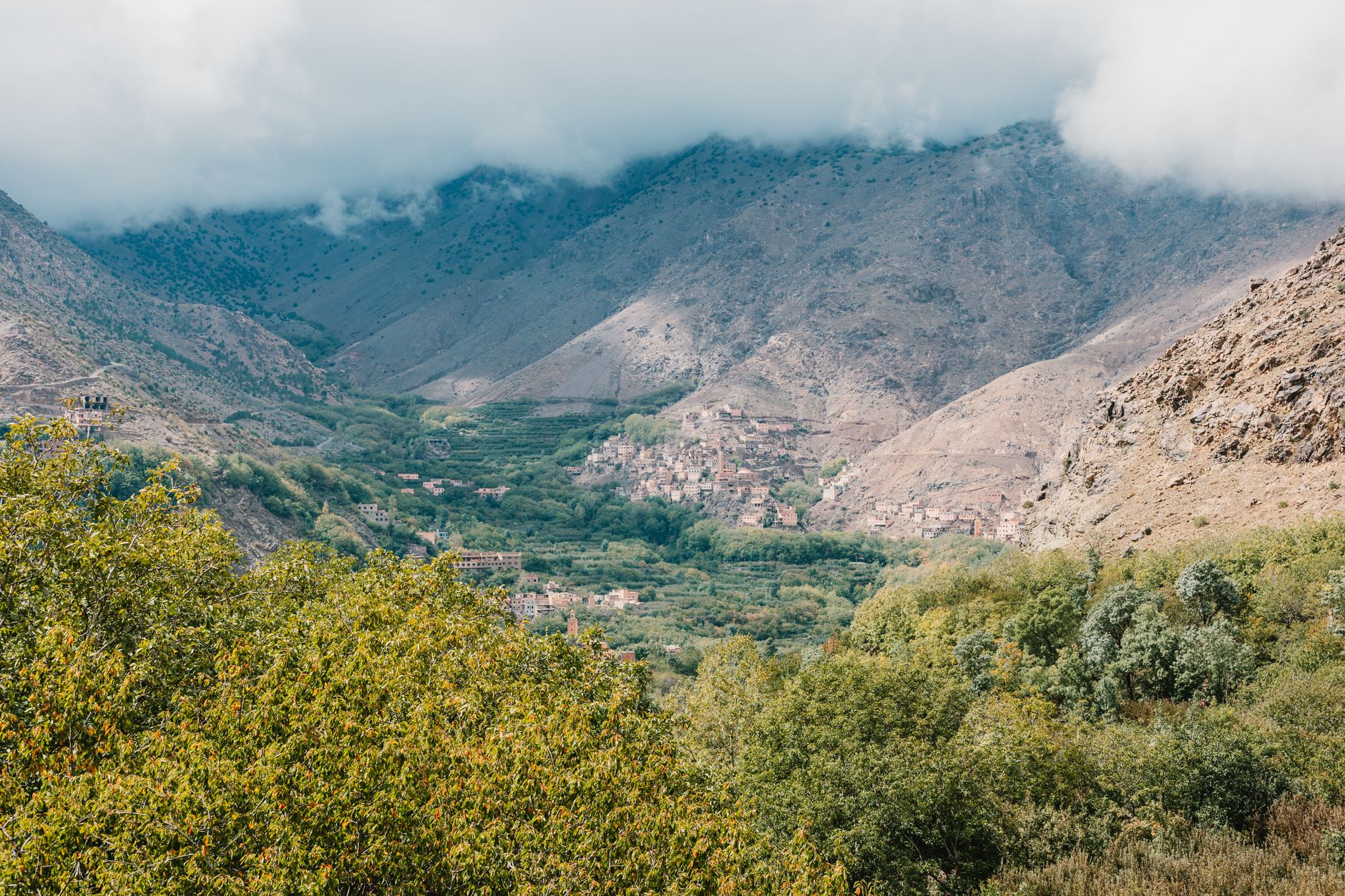
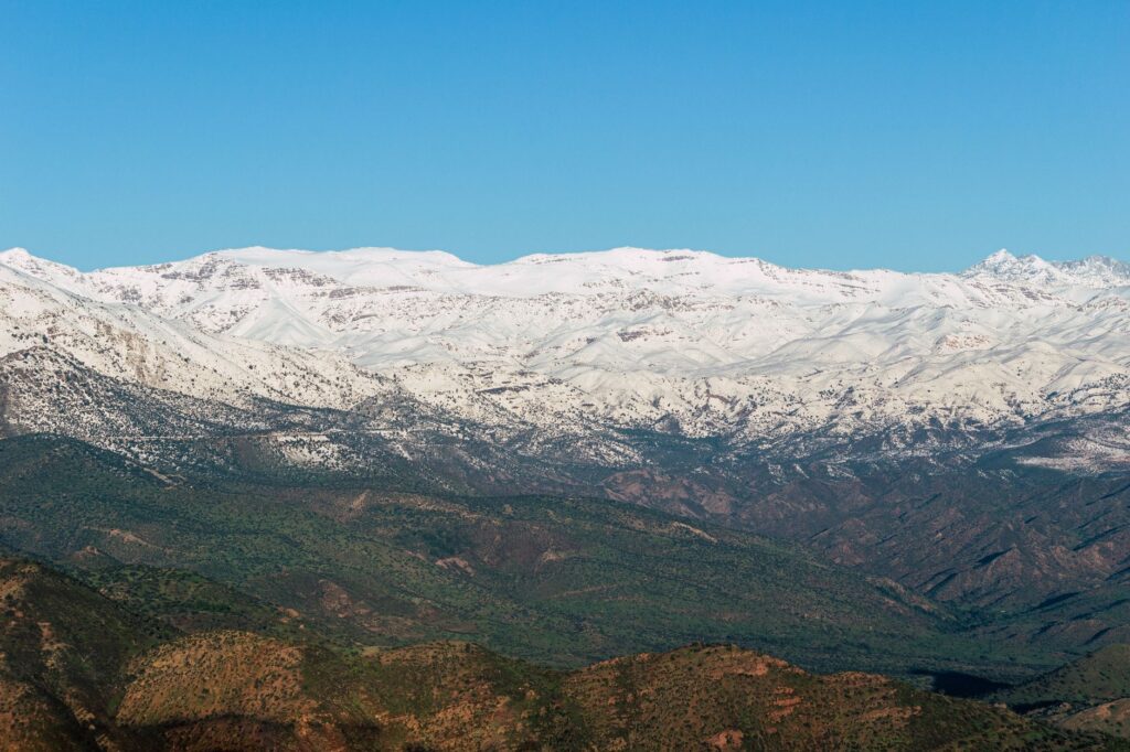
The Toubkal massif, the roof of the Atlas Mountains and all of North Africa, cannot be understood solely through its imposing geography of rugged rocks and peaks exceeding four thousand meters of altitude. Above the cultivated valleys of Imlil and Asni, daily life is sustained by an invisible yet relentless infrastructure: an ancient network of bridle paths, hand-hewn tracks, and a transport logistics system based entirely on animal traction and human footfall. In a territory where asphalt abruptly stops at village thresholds, connectivity relies not on mass combustion engines, but on a delicate balance between local Berber communities, muleteer cooperatives, and the complex supply dynamics required to sustain both permanent settlements and the growing influx of international expeditions.
This report rigorously examines how transport and mobility are organized in this mountainous enclave of Morocco, moving beyond the superficial tourist postcard to delve into the real economic and geographical gears. From traditional load-carrying methods to the gradual integration of minor road improvements in the lower valleys, the Atlas transport system is a living organism responding to the extreme demands of geology and seasonal isolation caused by winter snows and spring storms.
The Geography of Isolation and Road Access
To understand the logistics of Toubkal, one must first map the limits imposed by nature. The national highway R203 winds southward from Marrakech, crossing dusty plains before squeezing into the Moulay Brahim gorge and climbing serpentinely to Imlil, situated at roughly 1,740 meters above sea level. Imlil acts as the region’s great intermodal node: the exact point where motor vehicles—four-wheel-drive pickups, shared taxis, and local buses—hand over the baton obligatorily to mules and walking porters.
Beyond Imlil, wheeled infrastructure disappears entirely. The slopes of Mount Toubkal and its adjacent valleys, such as Azzaden or Imnane, are accessible only through a hierarchical network of bridle paths. These trails, eroded by centuries of constant footfall and periodically reshaped by rockfalls and seasonal flash floods, require continuous maintenance executed by the local communities themselves using traditional dry-stone masonry and manual slope leveling.
Animal Traction Transport and the Muleteers’ Guild
The true logistical engine of the Atlas heights is the Berber mule, an animal perfectly adapted to steep gradients, thin air, and harsh stony terrain. The transport of goods—ranging from butane gas cylinders and flour sacks to building materials for high-mountain refuges—falls almost entirely upon the local muleteers’ guild, organized informally yet effectively through grassroots cooperatives and community associations in Imlil and surrounding villages.
Every morning, muleteers load the animals’ backs with bundles perfectly balanced through traditional sailor knots, calculating weight with millimeter precision to prevent injury to the beasts during steep ascents toward the Netzer and Les Mouflons refuges, located over 3,200 meters high. This equine logistics not only supports the trekking industry but also ensures the self-sufficient survival of remote hamlets like Aït Souka or Tacheddirt, where basic supplies are scheduled weeks in advance based on weather forecasts and mountain pass conditions.
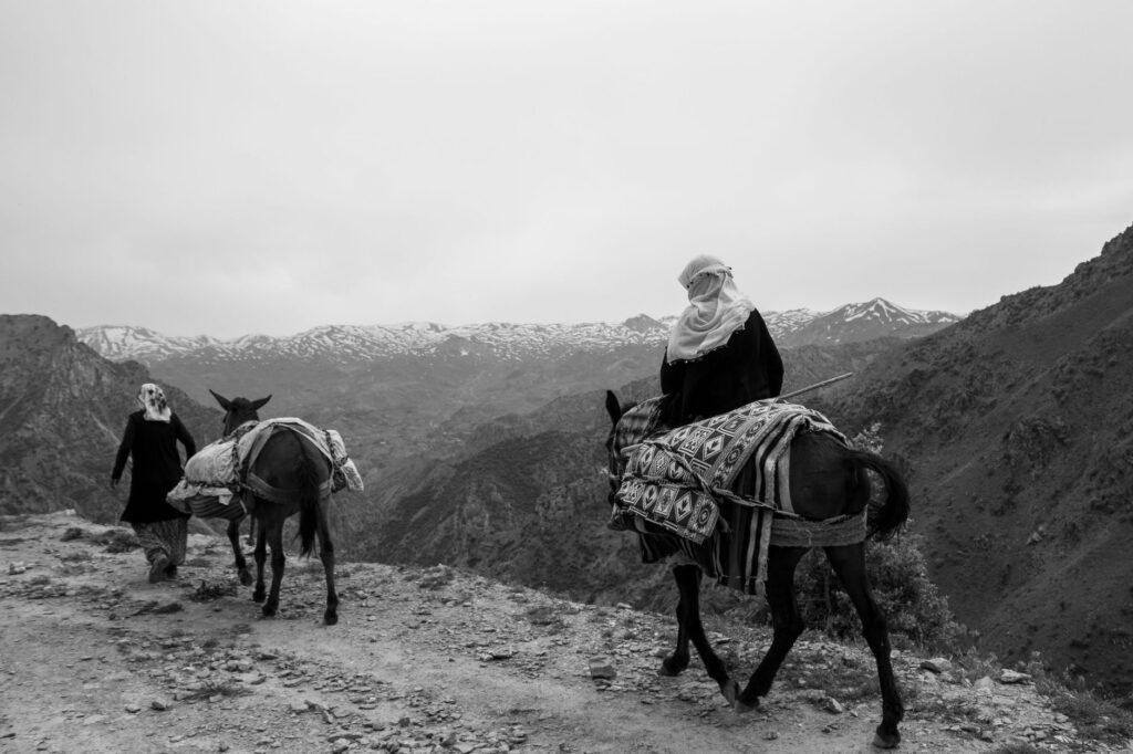
The high-altitude path in the Atlas is not merely a transit route; it is the backbone linking the valley’s subsistence economy with the commercial pulse of the Moroccan plains.
Architecture of Refuges and Vertical Provisioning
As altitude increases, logistical complexity multiplies exponentially. Refuges situated at the base of Toubkal’s summit cone function as self-sufficient logistical islands under high-mountain conditions. Lacking connections to conventional electricity or sewage networks, they depend on a daily and steady flow of supplies transported on muleback during snow-free months, and carried on porters’ backs when trails are covered in ice sheets and snowdrifts.
Water management, solar energy for basic lighting, and solid waste evacuation are daily challenges that force refuge managers to coordinate transport fleets with near-military discipline. Fuel, fresh food hauled up from the souks of Asni, and maintenance equipment ascend in rigorous morning convoys that take advantage of the coolest hours to protect both animals and heavy loads from thermal strain.
Historical Trade Routes and Generational Succession
Historically, the paths of the High Atlas were not forged for modern leisure, but rather as vital trade arteries connecting the plains of Marrakech with the pre-Saharan valleys of the Draa and Souss through high-altitude cols like Tizi n’Tichka or more southern pedestrian passes. Nomadic peoples and local merchants crossed these summits with caravans laden with dates, salt, handicrafts, and grain, defying an unforgiving geographical environment.
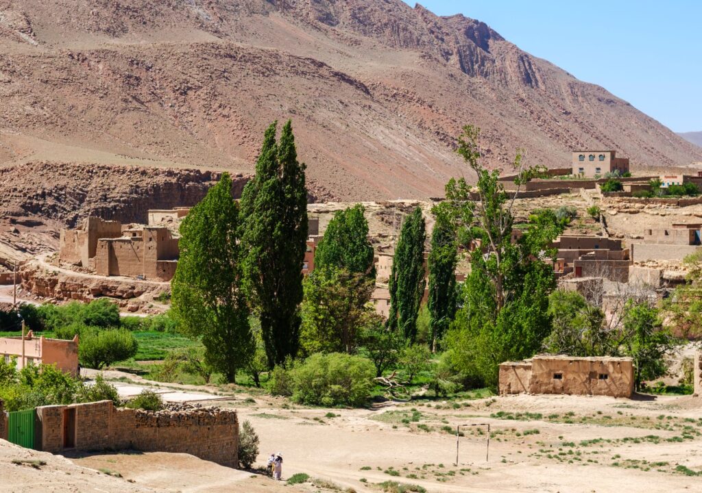
Today, although long-distance commercial function has been relegated to the paved highways flanking the massif along its eastern and western edges, deep knowledge of these itineraries continues to be passed down through generations among Berber families. However, generational succession faces a critical challenge: young people in the high valleys frequently seek new job opportunities in cities or the formal tourism sector, sparking an internal debate over the future sustainability of traditional muleteer and mountain guide professions.
Peripheral Road Infrastructure and Regional Connectivity
While the heart of the massif remains impassable to motor vehicles, regional and local authorities have in recent years promoted the paving and upgrading of peripheral tracks circling the protected area of Toubkal National Park. The road connecting Asni to Ouirgane and the Azzaden valley has undergone widening and partial asphalt surfacing to facilitate the flow of emergency vehicles, rural ambulances, and shared public transport vans (known as grand taxis).
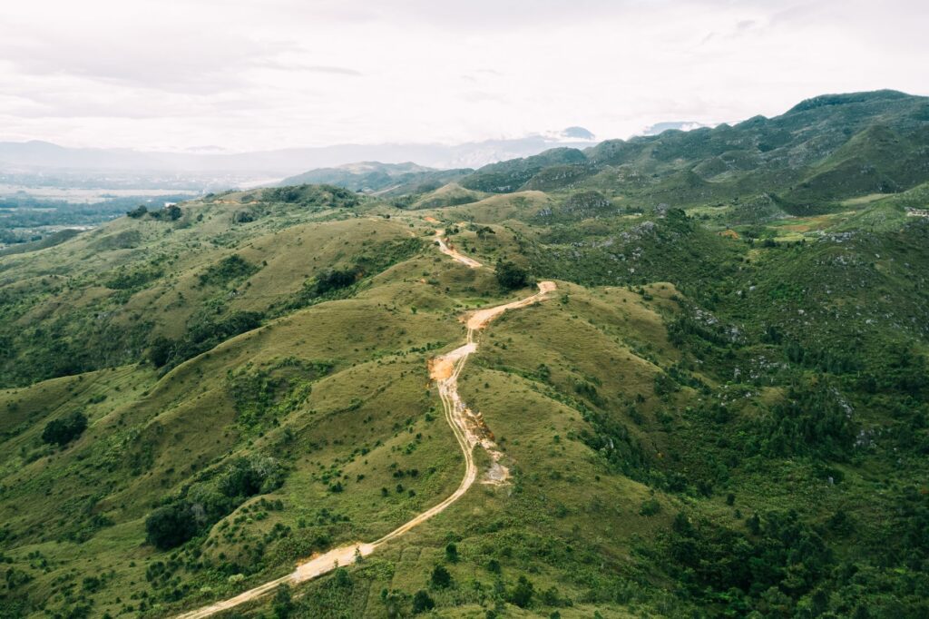
This peripheral modernization has significantly reduced travel times from the most remote villages to the administrative and health centers of the Al Haouz province, improving the quality of life for local residents. Nevertheless, a constant technical debate persists between road engineers and conservationists regarding the limit to which wheeled infrastructure should extend, balancing mountain communities’ right to development with the need to preserve the ecological and landscape isolation that defines the identity of the High Atlas.
Practical guide
How to get there: The mandatory logistical starting point is Marrakech. From the Bab Doukkala bus station or via shared taxis located near Sidi Mimoun, travelers can reach Asni and Imlil. The road journey takes approximately one and a half to two hours, depending on traffic conditions and weather.
When to travel: The optimal months to understand and traverse Toubkal’s trail and transport system run between May and October. During winter and early spring (November through April), heavy snowfall blocks high-altitude passes and demands specialized high-mountain equipment, drastically limiting the transit of mules and visitors.
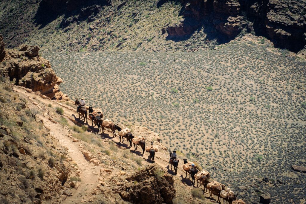
Local transport logistics: To hire muleteers, mules, or certified official guides, visitors are advised to visit the Imlil Guide Office or arrange services directly through legally constituted local cooperatives, ensuring fair wages and regulated working conditions for both animals and workers.
Accommodation and provisioning: Numerous traditional guesthouses (gîtes d’étape) run by local families operate in the valley villages. In the high altitudes, Toubkal refuges require mandatory advance bookings and offer basic overnight services alongside simple, nutritious meals.
The Final Echo of Stone and Path
In the silence of the deep dawn, before the first rays of sunlight illuminate Toubkal’s quartzite crests, the muffled sound of mule hooves against rock marks the unalterable pulse of a world where time seems measured by the rhythm of breath. In these deep valleys, where modernity barely manages to insinuate itself through mobile phone screens catching signals on the highest ridges, survival remains a daily exercise in geometry and endurance. The muleteers walking in the twilight are not merely transporting luggage; they carry on their shoulders the living memory of a civilization sculpted in stone, reminding us that in the most rugged corners of the planet, true connectivity is not a matter of digital speed, but of deep and symbiotic respect for the land one treads.