
Introduction to Oman’s Southern Corridor
The geography of the Sultanate of Oman continually challenges the limits of modern civil engineering. While the northern region concentrates the hubs of economic activity around Muscat and the Al Batinah plain, the southernmost territory in the Dhofar Governorate conceals a strikingly distinct climatic and topographic reality. During the summer months, this region experiences a unique meteorological phenomenon in the Arabian Peninsula known as the Khareef—a monsoon that transforms arid mountain slopes into a lush green carpet of dense coastal mists and vegetation. To guarantee territorial cohesion and uninterrupted supplies to this region, the Trans-Salalah Highway stands as an indispensable logistical artery.
This report examines the complex network of infrastructure connecting the provincial capital of Salalah with the interior desert and the strategic ports of the Arabian Sea. Through an alignment that negotiates formidable mountain passes and withstands the erosion caused by persistent humidity, the highway serves not merely as a communication route, but as the foundational axis supporting both international trade and the influx of millions of domestic and international visitors seeking refuge from the extreme heat of the Persian Gulf.
Extreme Topography and the Challenges of Road Alignment
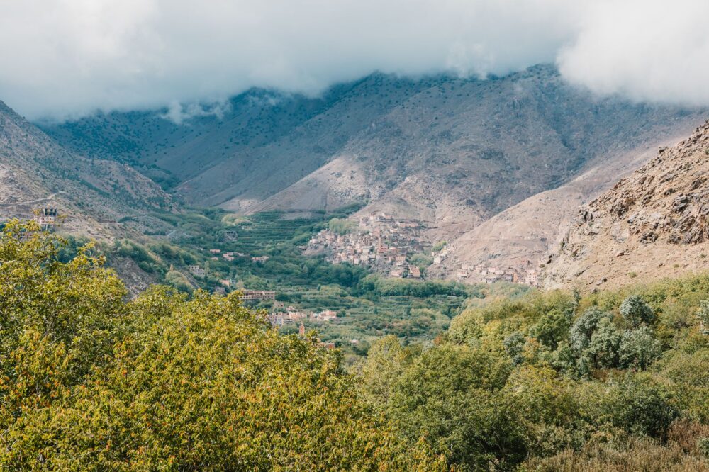
Designing the Trans-Salalah Highway required civil engineers to conquer a formidable natural barrier: the rugged foothills of the Al Qara mountain range. These mountains rise abruptly from the coastal plain, creating a severe elevation change over a short distance that historically isolated interior communities during seasonal floods and monsoonal storms. The construction of the roadway demanded massive excavations in limestone, the installation of complex subterranean drainage systems, and the stabilization of slopes prone to landslides due to water saturation.
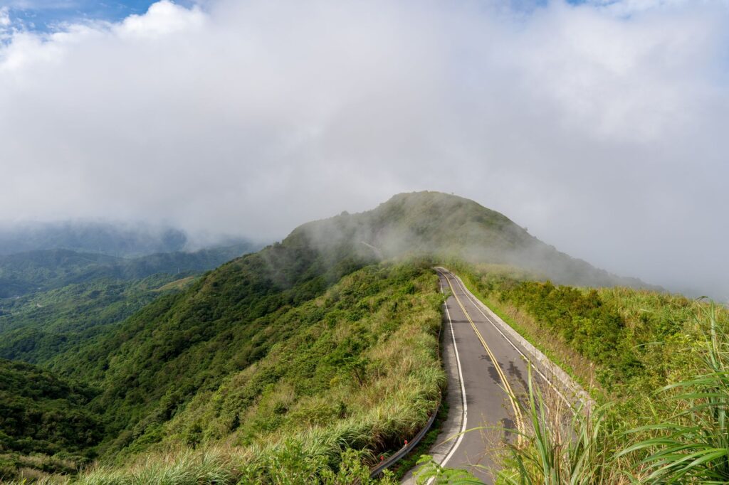
One of the greatest technical challenges involved managing visibility. During the peak of the Khareef, dense fog reduces horizontal visibility to mere metres across the summits, turning heavy traffic into a critical test of road safety. To mitigate this risk, highway authorities have implemented high-reflectivity intelligent signage, solar-powered adaptive lighting systems, and reinforced containment barriers that precisely outline the plateaus’ drop-offs. The civil engineering applied along this corridor demonstrates how cutting-edge technology can tame hostile geographic environments without compromising the environmental integrity of the protected surroundings.
Monsoon Logistics and Seasonal Supply Chains
Beyond its tourism appeal, the Trans-Salalah Highway operates as a vital logistical corridor for supplying consumer goods, fuel, and construction materials to southern Oman. During the monsoon, the population of Salalah and its surrounding areas experiences an exponential demographic surge driven by the massive arrival of holidaymakers. This demand spike requires a perfectly synchronized supply chain to prevent shortages in local markets—a monumental challenge that rests squarely on the freight capacity of the highway.
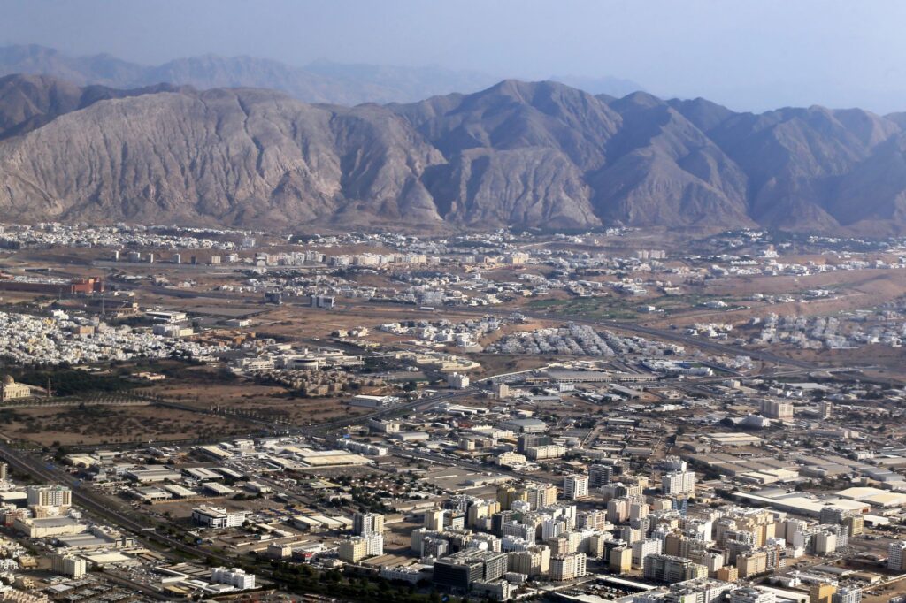
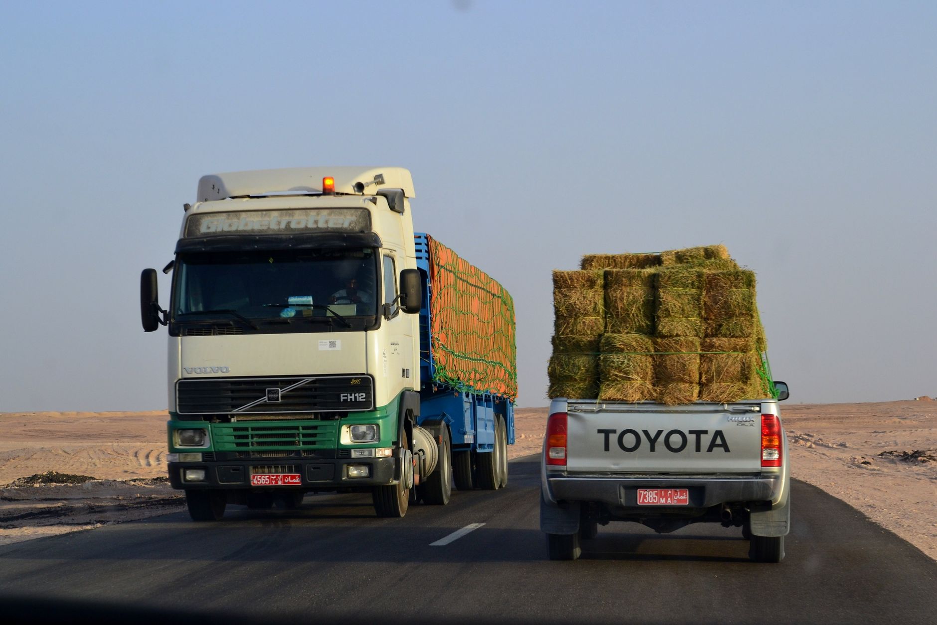
Heavy transport fleets daily traverse this roadway axis, connecting the free zone of the Port of Salalah—a key transoceanic node along trade routes between Asia and Africa—with interior distribution centers. Coordination among port authorities, trucking companies, and logistics operators intensifies during the summer months. Specific time slots are established for heavy-duty truck traffic, minimizing congestion on steep inclines and ensuring that perishable goods reach distribution shelves in optimal condition.
Modernizing communication routes in Dhofar not only shortens kilometer distances, but weaves an invisible bridge between the ancient tradition of nomadic pastoralism and the globalized economy of the twenty-first century.
Road Safety and Intelligent Traffic Management
The convergence of mass tourism, adverse weather conditions, and heavy freight traffic makes road safety management an absolute priority for Oman’s Ministry of Transport, Communications and Information Technology. Along the highway, a network of traffic control centers equipped with closed-circuit cameras, speed sensors, and automated weather stations monitors real-time road conditions.

Should any weather incident or accident occur, rapid response protocols are automatically triggered. Royal Oman Police patrols and mechanical assistance teams operate permanently at strategic points along the route, ready to clear the roadway and assist drivers. This constant supervision has significantly reduced accident rates on a route that, due to its orography, presents a high risk profile. Investment in applied traffic telematics solidifies this corridor as a model for intelligent infrastructure management in arid regions with complex microclimates.
Socioeconomic Impact on Local Communities
The evolution of the Trans-Salalah Highway has profoundly transformed the socioeconomic fabric of rural communities settled in the foothills of the mountain range and interior plateaus. Villages once isolated for much of the year now enjoy permanent access to health services, educational facilities, and regional markets. This connectivity has halted rural flight, allowing younger generations to pursue economic activities tied to ecotourism, mountain agriculture, and traditional crafts.

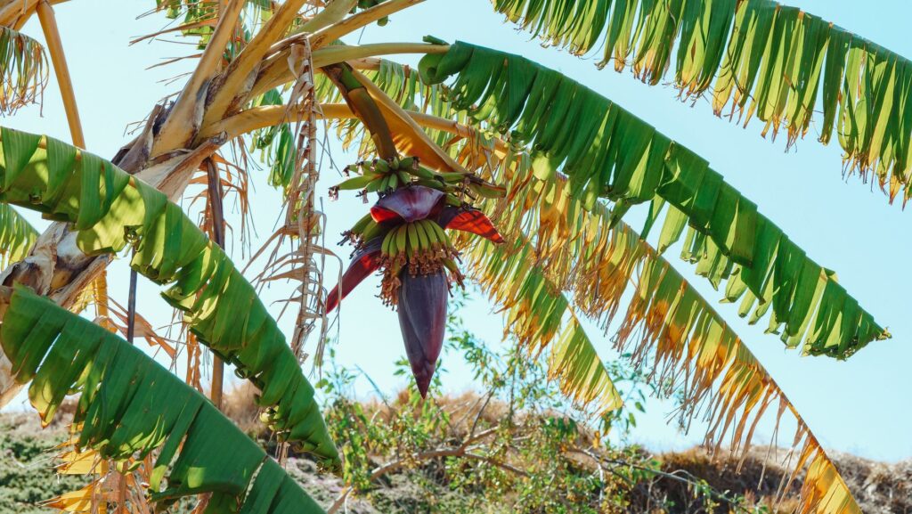
Likewise, local tropical fruit markets—where papayas, coconuts, and bananas are cultivated thanks to the fertility brought by the monsoon—benefit directly from expedited transport to northern urban centers. Local farmers have multiplied their commercialization capacity, efficiently integrating into the value chains of the national agri-food sector.
Environmental Sustainability Amid Growing Demand
Developing infrastructure in regions of high ecological value inevitably poses a dilemma between connectivity and conservation. The Dhofar region hosts protected natural reserves inhabited by endemic flora and fauna species, such as the Arabian leopard and various varieties of frankincense trees. Throughout the expansion and maintenance phases of the highway, environmental impact studies have necessitated the complete redesign of entire sections to prevent the fragmentation of natural habitats and protect fragile monsoonal savanna ecosystems.
Dedicated wildlife crossings have been constructed along the route to enable safe passage for wild animals, drastically reducing roadkill in areas of high ecological density. Furthermore, reforestation programs have been implemented on intervened slopes using native species, ensuring the landscape integration of the road and preventing erosive processes derived from seasonal runoff. Sustainability is thus conceived not as a brake on infrastructure development, but as an absolute prerequisite for its long-term viability.
Practical guide
Planning a journey along the Trans-Salalah Highway requires understanding the logistical and seasonal particularities of Oman’s southern region.
- Best time to visit: Between July and September, coinciding fully with the Khareef monsoon phenomenon, when vegetation reaches its peak vibrancy.
- Recommended vehicle: Although the highway is fully paved and in excellent condition, an SUV is advised for accessing secondary viewpoints and unpaved mountain tracks.
- Connectivity and navigation: It is advisable to download offline maps, as mobile phone coverage can experience temporary fluctuations in certain mountain gorges due to dense cloud cover.
- Driving rules: Strictly obey posted speed limits and exercise extreme caution in heavy fog sections, always using front and rear fog lights.
- Supplies: Well-equipped service stations exist along major transport nodes, but it is prudent to refuel before venturing into secondary interior desert routes.
Emotional Epilogue in the Heights of Dhofar
As evening mists slowly dissipate across the ridges of the Al Qara mountain range, revealing emerald-green valleys that descend timidly toward the boundless blue of the Arabian Sea, the Trans-Salalah Highway reveals its true poetic countenance. It is no longer perceived merely as a cold amalgam of asphalt, concrete, and traffic signs, but as the guiding thread of a sensory experience unique to the Arabian Peninsula. Stopping the vehicle at one of the viewpoints perched on the precipice allows one to hear the distant whisper of the monsoonal wind crashing against limestone rock faces—an eloquent reminder of nature’s unalterable power. In this borderland where the most rigorous desert engages in dialogue with the most unexpected tropical fertility, every kilometer traveled over Omani asphalt becomes a tangible testament to human ingenuity and its capacity to build bridges across the planet’s most challenging landscapes.