
At the northern limits of western Patagonia, where the continent fractures into an untamable labyrinth of channel-laced islands and shadowy fjords, human mobility ceases to be a routine daily errand and becomes a complex exercise in geographic survival and adaptation. The Guaytecas Archipelago, with its neuralgic center in Melinka, represents one of the most isolated and challenging enclaves in Chile’s southern macrozone. Here, the absence of paved roads or terrestrial transport networks turns the sea into the only viable highway—a liquid territory where meteorological harshness, scarce modern port infrastructure, and a visceral reliance on minor and major maritime connectivity converge.
The transport system sustaining this territory does not follow the logic of industrial efficiency; rather, it responds to the patient pulse of tides and the collaborative efforts of local shipowners, state-subsidized ferries, and versatile cargo vessels. Understanding this mechanism requires delving into a geography where every liter of fuel, every medical supply, and every resident needing to cross toward Puerto Cisnes or Quellón depends on a precise choreography that can be disrupted within hours by a southerly gale or a dense fog bank.

The Geography of Isolation: Channels, Tides, and Patagonian Gales
The morphology of Guaytecas is the direct result of ancient glaciers descending from the Patagonian Andes, plunging into the Pacific Ocean and leaving behind a labyrinth of islands, islets, deep channels, and secondary passages impassable for unspecialized navigation. In this setting, linear distance matters less than the nautical complexity of the routes. Dominant winds, known locally as southerly gales, whip up abrupt swells in open channels, forcing vessel captains to seek shelter in protected fjords or delay departures until weather conditions offer a safe passage window.
Unlike other regions of the world where insularity is bridged by suspension bridges or subsea tunnels, the staggering depth of Patagonian channels and the region’s high seismicity make any terrestrial connectivity project unviable. Water is simultaneously the barrier that isolates and the sole avenue of communication. This geographic reality dictates that the local economy—reliant on artisanal fishing, shellfish harvesting, and emerging special-interest tourism—remains entirely subject to the regularity and payload capacity of vessels docking at the area’s precarious piers.
The Fleet of Subsistence: Barges, Motor Launches, and Subsidized Connectivity
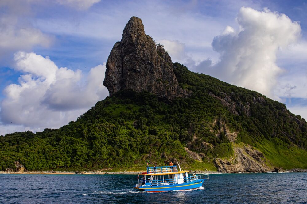
The transport system of Guaytecas relies on a hierarchy of vessels varying in draft and function. At the base are minor coastal motor launches—wooden and fiberglass boats connecting the most remote islets with the urban core of Melinka. Operated by local skippers intimately familiar with every submerged rock and tidal current, these vessels carry both passengers and light cargo under conditions requiring expert seamanship. They are the maritime equivalent of neighborhood buses, operating on flexible schedules tailored to community needs.
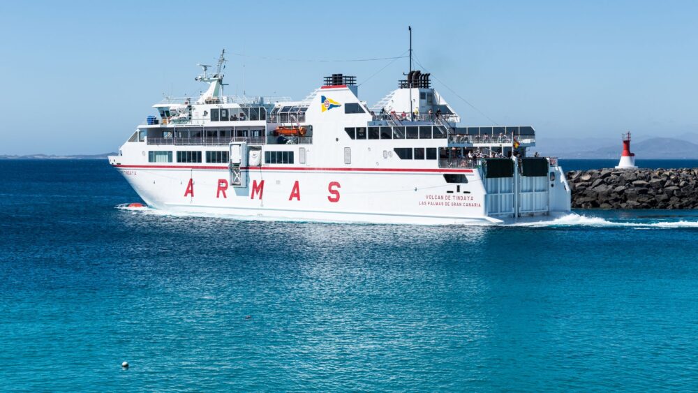
At the upper level operate roll-on/roll-off ferries and cargo barges, linking the archipelago with the continental ports of Chiloé and Aysén. These mixed vessels carry private vehicles, cargo trucks loaded with provisions, and passengers on voyages that can easily exceed ten or fifteen hours depending on weather conditions. State subsidies for these routes serve as the cornerstone preventing the archipelago’s economic collapse, guaranteeing affordable fares for residents and securing a steady flow of basic supplies that would otherwise become prohibitively expensive.
Port Infrastructure: The Bottleneck at Austral Piers
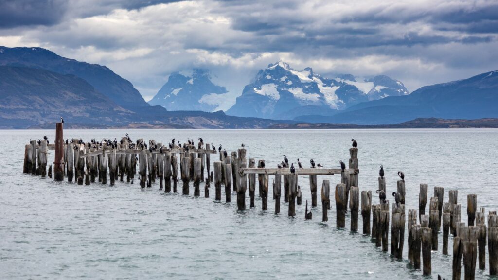
One of the greatest challenges facing the transport network in Guaytecas is the fragility and limitation of its port infrastructure. Most existing piers, constructed with wooden pilings or metal structures subjected to aggressive marine corrosion, suffer accelerated wear from the constant pounding of spring tides and currents. In Melinka, expanding and modernizing the fiscal pier has been a historic demand from residents, who frequently denounce that current facilities are inadequate for safely receiving larger ferries during stormy weather.
This logistical limitation creates significant operational bottlenecks. When the arrival of a heavy cargo barge coincides with a passenger vessel, the lack of maneuvering space and the absence of adequate cranes or platforms slow down unloading operations. Furthermore, the lack of automated tide control systems forces crews to execute complex docking maneuvers relying entirely on visual experience and empirical knowledge of the coastal zone.
The Human Factor: Captains, Sailors, and the Culture of Coastal Patience
Behind every successful journey through the Guaytecas channels lies a crew hardened by the roughness of the southern sea. Captains and sailors operating these routes share a culture marked by absolute respect for nature and proverbial resilience in the face of uncertainty. Unlike commercial aviation or metropolitan rail transport where punctuality is dogma, Guaytecas operates under the principle of maritime prudence: if a storm intensifies, the ship does not sail, and the community accepts the delay with stoic grace that defies the modern world’s accelerated pace.

This human component truly sustains the intermodal network. Local operators do not merely transport goods; they act as social support networks, delivering messages, transferring emergency patients when weather impedes medical flights, and preserving a sense of belonging in a territory where geographic solitude is a daily constant. The bond between passengers and crew is close, almost familial, reflecting an interdependence that extends far beyond a commercial transaction for passage and cargo.
The sovereignty of a southern nation is measured not solely in miles of borders mapped out on paper, but in its genuine capacity to ensure that its most isolated citizens are not left adrift against the relentless onslaught of weather and distance.
Logistical Challenges of Insular Supply and Energy
Securing the supply chain in an isolated archipelago requires meticulous logistical planning where any disruption in maritime transport immediately impacts the cost of living and the availability of essential goods. Liquefied gas, fuels for local power generation, construction materials, and perishable foods must spend hours aboard barges sharing space with private vehicles and heavy machinery.
Any prolonged interruption in shipping routes—whether due to mandatory vessel maintenance, mechanical breakdowns, or adverse weather—places public services and local commerce on alert. The heavy reliance on a predominantly monomodal transport model along its water stretch highlights the structural vulnerability of the archipelago, driving recurring debates over the need to diversify logistics options, including upgrades to local airstrips for emergency flights and strengthening onshore storage infrastructure.

Practical guide
Planning a trip or understanding transport logistics to the Guaytecas Islands requires rigor, flexibility, and deep respect for Patagonian natural rhythms. Below are the fundamental keys to understanding mobility within this territory:
- Main Access Routes: The most common maritime route departs from Quellón (at the southern tip of Chiloé Island) or from Puerto Cisnes (in the Aysén region), operated by subsidized ferries carrying passengers and vehicles.
- Frequency and Seasonality: Frequencies vary by time of year. During summer months (December to March), services increase slightly, whereas winter brings reduced schedules due to adverse weather conditions.
- Itinerary Flexibility: It is essential to build at least two or three days of buffer time into any travel plan, as frequent gales force the suspension or postponement of sailings without prior notice.
- Advance Booking: Vehicle slots on barges are extremely limited and must be reserved weeks or even months in advance, especially during the peak summer season.
- Luggage and Provisions: When traveling as a foot passenger, ensure you pack adequate waterproof gear, layered warm clothing, and basic provisions, as port terminals offer very basic services.
- Internal Connectivity: To travel from Melinka to smaller islets, transport must be coordinated with local coastal motor launches or authorized artisanal fishers.
- Meteorological Information: Always consult weather bulletins from the Port Captaincy before planning any movement across the archipelago, as they hold the authority to clear nautical departures.
Epilogue on the Open Sea: The Gray Horizon of Austral Insularity
As the barge slowly pulls away from the Melinka pier and the silhouette of wooden-shingled houses begins to merge with the leaden gray of evergreen-covered hills, the traveler grasps the true dimension of Patagonian isolation. This is not a mere deficit, but a distinct way of inhabiting the edge of the world, where mobility is not an automatically acquired right, but a fragile daily conquest sustained by the tireless efforts of those navigating the southern channels. In this maritime outpost, every successfully completed journey is a small victory of human perseverance over the implacable vastness of the Pacific Ocean.