
Introduction to Insular Isolation and Tasmania’s Geographical Challenges
At the southern extremity of Australia, where the Indian Ocean merges with the currents of the South Pacific under the relentless influence of the winds known as the roaring forties, lies Tasmania. This insular landmass of rugged topography and unforgiving climate represents one of the planet’s most complex natural laboratories in terms of human connectivity and transport logistics. Separated from the Australian mainland by Bass Strait, a marine stretch of approximately 240 kilometers characterized by rough seas and highly volatile weather conditions, the island has historically depended on a delicate balance between coastal maritime navigation and alpine road engineering.
Tasmania’s relief is dominated by a rugged central plateau, mountain ranges sculpted by glacial activity, and dense temperate rainforests covering much of the west and south. This geographical layout has dictated that the mobility of people and goods is not a mere matter of conventional infrastructure, but a permanent challenge against the elements. From early industrial and logging settlements to the contemporary ecotourism boom, the economic and social survival of local communities relies on a meticulously synchronized intermodal network connecting deep-water ports, gravel logging tracks, and fog-prone airfields.
The Maritime Backbone: Bass Strait and Ferry Logistics
The umbilical cord keeping Tasmania united with the state of Victoria on the Australian mainland is a strategic shipping route operated primarily by high-capacity vessels capable of withstanding the harshness of Bass Strait. The ferries linking the port of Melbourne with Devonport on Tasmania’s north coast are not simple passenger carriers, but essential logistical platforms transporting everything from perishable goods and heavy machinery to medical supplies indispensable for the island’s population.
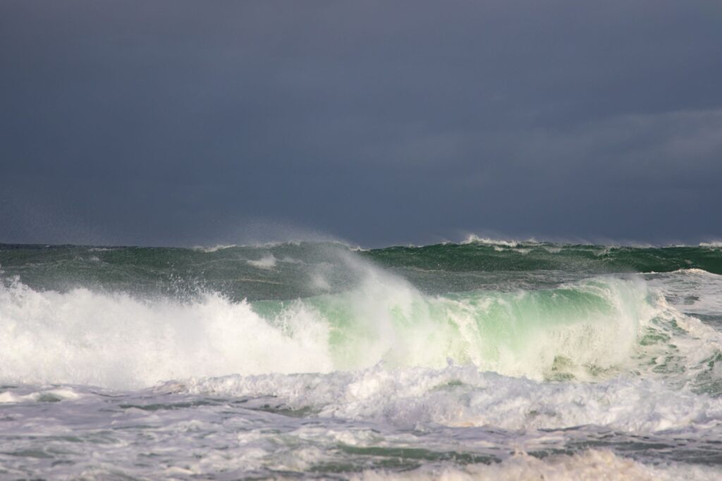
Port operations in Devonport and Burnie demand chronometric precision. Tides, crosswinds, and heavy swells at port entrances impose severe restrictions on commercial navigation. Shipping lines operating in this corridor must contend with a fleet of high-speed catamarans and conventional ro-ro vessels operating around the clock. This constant flow of roll-on/roll-off cargo sustains vital sectors such as dairy farming, the wine industry, and sustainable forestry, ensuring that geographical isolation does not translate into economic marginalization.
Road Networks in Extreme Terrain: Mountain Highways and Logging Tracks
Once on solid ground, the logistical challenge shifts toward the island’s mountainous interior. Tasmania’s road network, managed by state agencies under extreme weather conditions, includes iconic stretches such as the Lyell Highway, which snakes through the wild heart of the west coast, connecting Hobart with the isolated mining town of Queenstown. This route is a masterpiece of nineteenth- and modern-century engineering, built over unstable terrain of metamorphic rocks and highly water-saturated organic soils.
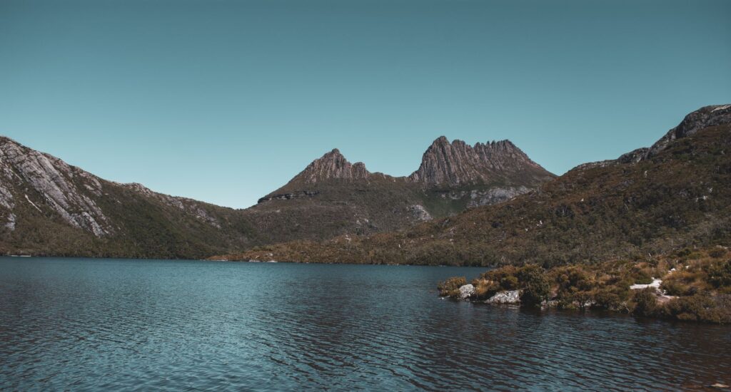
The maintenance of these arterial roads demands a constant deployment of technical and human resources. Sudden snowfall during the southern winter, landslides triggered by torrential rains, and fallen centuries-old trees in forested areas turn traffic management into a permanent emergency operation. Simultaneously, a secondary network of gravel logging tracks, originally built for the timber industry, now serves as access routes for hikers venturing into Cradle Mountain-Lake St Clair National Park and the Wilderness World Heritage Area.

Transport infrastructure in Tasmania does not conquer nature; it constantly negotiates with it under the supervision of an indomitable environment.
This coexistence between civil engineering and protected ecosystems drastically limits the expansion of new infrastructure. Instead, authorities prioritize preventive maintenance and the digitization of early warning systems for road closures, ensuring interior rural communities are not cut off for weeks due to severe storms.
Regional Aviation and Isolated Airstrips on the West Coast
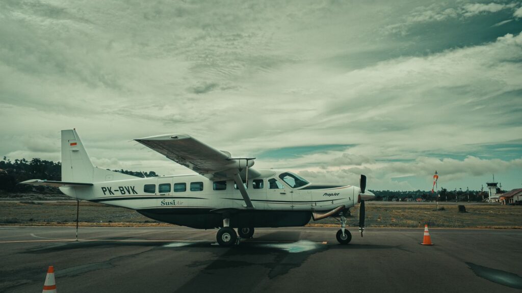
When land routes are blocked by snow or rockfalls, regional aviation becomes the sole lifeline for isolated populations and emergency medical services. Small airstrips such as those in Strahan, Smithton, or the remote runways of the Bass Strait islands operate under marginal weather conditions, where reduced visibility from morning fog banks and gusty winds demand a high level of specialization from local pilots.
These secondary airport facilities function as critical nodes in the island’s transport network. Short takeoff and landing turboprop aircraft connect western coastal settlements with Hobart International Airport, facilitating urgent patient transfers and spare parts delivery for the fishing and energy industries. The reliance on these flights underscores the logistical vulnerability of a region where weather dictates schedules and conditions the economic viability of communities furthest from urban centers.
Urban and Interurban Public Transport in Hobart and Launceston
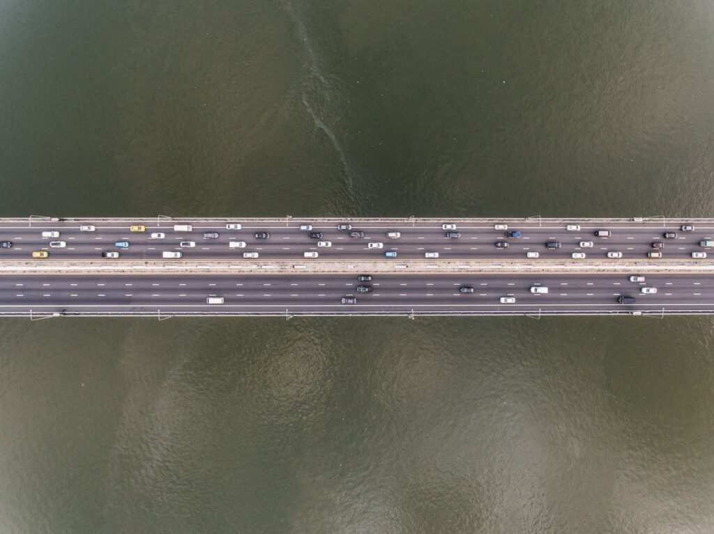
In the island’s two main urban centers, Hobart and Launceston, collective mobility is undergoing a transformation oriented toward sustainability and intermodal integration. Although bus-based public transit covers basic commuting needs, Hobart’s coastal geography, structured around the Derwent River estuary, poses unique urban mobility challenges. The iconic Tasman Bridge and Bowen Bridge act as daily bottlenecks for thousands of private vehicles and public transport lines.
To decongest these urban arteries, local authorities are evaluating river passenger transport projects using fast ferries connecting riverside suburbs to the central business district. This initiative seeks to replicate the success of water transport systems in other cities with similar geographies, reducing the carbon footprint of road traffic and optimizing daily commute times for a demographically growing population.
Technological Innovation and Energy Transition in the Insular Fleet
Faced with climate urgency and the need to reduce reliance on imported fossil fuels, Tasmania has begun implementing pilot projects to electrify both its public transport fleet and short-distance maritime services. The island’s abundant hydroelectric power generation provides a unique comparative advantage to drive the transition toward electric mobility, a process encompassing everything from the introduction of zero-emission buses in Launceston to the design of hybrid vessels for river tourism.
However, the mass adoption of electric vehicles for long-distance transport and heavy freight on mountain routes faces considerable hurdles. Sparse population density and a scarcity of fast-charging stations along the most remote stretches of the west coast necessitate the development of specific infrastructure adapted to the harsh climatic conditions of the Tasmanian winter, where low temperatures drastically reduce battery range.
Practical guide
How to get there
Primary access to Tasmania is via regular flights from major Australian cities (Melbourne, Sydney, Brisbane) to Hobart and Launceston. Alternatively, the Spirit of Tasmania ferry service connects Geelong (Victoria) with Devonport across Bass Strait daily.
Best time to visit
The southern summer months (December to February) offer the most stable weather conditions for driving and hiking. However, the weather can change drastically within hours at any time of year.
Car rental and driving
Driving is on the left. Secondary roads in the interior and west coast are winding and narrow; renting robust vehicles and planning travel times with ample margin is recommended due to speed restrictions and wandering livestock.
Connectivity and safety
Mobile phone coverage is limited outside urban centers. Downloading offline maps and checking road conditions on the official TasNetworks and Tasmania Police websites before embarking on any mountain route is essential.
Emotional Epilogue: The Silence of Roads Where Time Stands Still
As the last evening light glides over the ice-carved summits of Cradle Mountain National Park, the feverish pulse of modern logistics seems to dissolve into the absolute silence of the temperate rainforests. In these confines where the Indian Ocean sculpts dolerite cliffs and morning mists wrap around river valleys, travel ceases to be a mere transition between geographical points and becomes an immersion in the planet’s geological memory. Here, every stretch of road carved with effort out of bedrock and every sea crossing defying the rigor of Bass Strait remind us that Tasmania’s true essence lies in its silent resilience, a territory where distance is not an obstacle to overcome, but the exact measure of its indomitable freedom.