


The Bijagós Archipelago, comprising some eighty islands and islets off the coast of Guinea-Bissau, represents one of the last bastions of truly wild navigation in the tropical African Atlantic. This is not a conventional nautical destination equipped with high-performance marinas or infallible electronic charts; here, the navigator must contend with one of the most complex tidal regimes on the continent, where vertical ranges between high and low tide exceed six meters during certain times of the year. This hydrological dynamic radically reshapes the underwater geography every few hours, turning deep channels into mud and sand traps. Planning a sailing voyage through this insular labyrinth demands absolute mastery of traditional cartography, a deep understanding of tidal currents, and a vessel with a shallow draft or retractable keel capable of tolerating controlled grounding in the event of a miscalculation.
The nautical expedition officially begins in the port of Bissau, the neuralgic hub from which weather forecasts are evaluated and the port and customs clearances necessary to enter the Bijagós Archipelago Biosphere Reserve are managed. This territory, declared a UNESCO World Heritage site, is inhabited by the Bijagó people, a matrilineal society that has zealously preserved its spiritual traditions and its symbiotic relationship with the marine environment. Navigation in these waters is not merely an exercise in seamanship, but an act of respect toward a culture that views the sea and mangroves as living entities. Local authorities enforce strict compliance with anchoring protocols to protect coral reefs and seagrass meadows where the African manatee feeds and sea turtles nest.
The Dynamics of Atlantic Tides in Guinea-Bissau
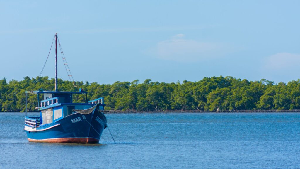
Understanding the behavior of the Atlantic Ocean at this equatorial latitude requires shedding habits acquired in enclosed seas like the Mediterranean or in regions with moderate tides in the Caribbean. In the Bijagós, the tide is not an accessory phenomenon; it is the conductor of the entire expedition. Tidal currents can reach speeds of up to four knots in the narrow channels separating islands such as Bubaque, Caravela, and Orango. Navigating against these flows amounts to an unnecessary drain on engine hours and fuel, requiring the skipper to synchronize every movement with the lunar cycle. Charts published by international hydrographic institutes provide a baseline, but the constant sedimentation caused by the Grande de Bubaá and Cacheu rivers continually alters sandbanks, making visual watchkeeping from the spreader and the constant use of the echo sounder indispensable.
The prevailing wind during the dry season, locally known as the harmattan period, blows from the northeast carrying fine particles of Saharan dust that reduce horizontal visibility. While this wind provides appreciable meteorological stability for sailing, it can also generate thermal surprises near the coast. During the rainy season, between June and October, the situation changes drastically with the arrival of monsoons and local thunderstorms known as tropical tornadoes. These phenomena develop with great speed, demanding an alert crew prepared to reef the mainsail and start the auxiliary engine within minutes. Choosing the time of year to set sail determines not only comfort on board, but the very viability of anchoring in exposed coves.
The tide in the Bijagós gives no warning; it simply redesigns the map beneath your keel in a matter of minutes, demanding absolute humility from the navigator before the force of the ocean.
Anchoring Logistics and Self-Sufficiency in Shallow Waters
The absence of marinas with docks and potable water supplies on most islands forces skippers to adopt a model of total self-sufficiency. Anchoring in the archipelago is typically done over soft mud or fine sand beds, where plow or Danforth-style anchors offer excellent holding power, provided enough chain is let out to absorb the traction generated by the reversal of the tidal current. Because the boat will rotate 180 degrees every six hours as the tide changes direction, it is vital to anchor with sufficient clearance from other obstacles or nearby shallows. Maneuvers must always be planned in daylight, since the turbidity of the water, laden with organic sediments from the mangroves, prevents seeing the bottom at depths greater than twenty centimeters.
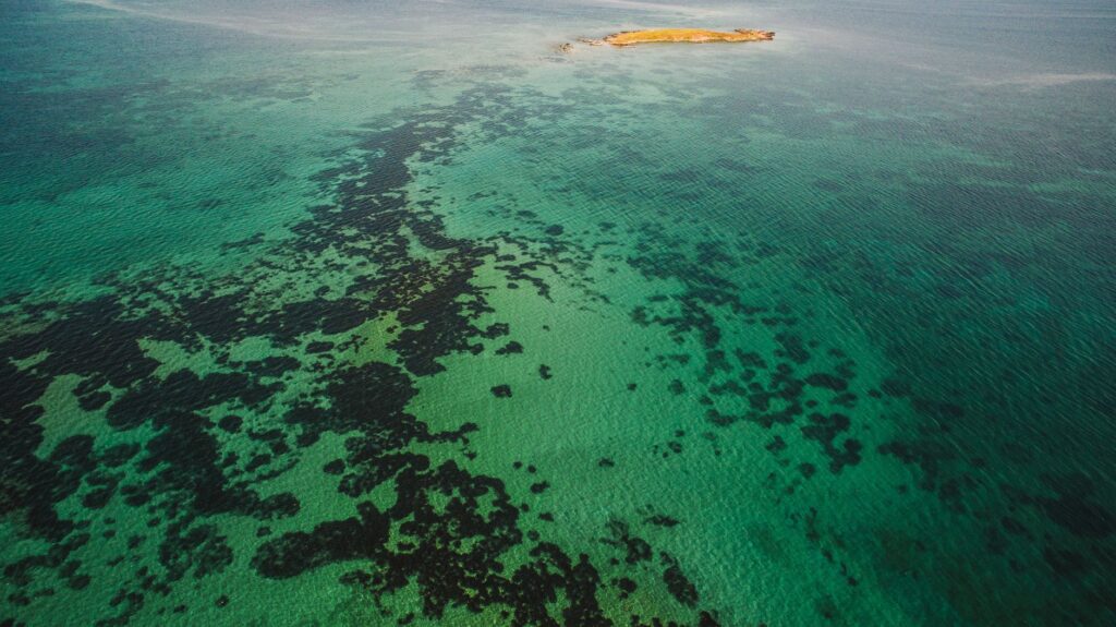
Freshwater management is another critical pillar of life on board. Island wells tend to be brackish or reserved strictly for local community consumption, meaning the vessel must be equipped with a high-efficiency watermaker or carry sufficient volume in jerrycans during the initial stopover in Bissau. Electrical energy is generated via flexible solar panels or portable wind generators, taking advantage of the constant sunshine of the tropical region. As for fresh provisions, local markets on islands like Bubaque provide fresh fish, papayas, mangoes, and rice, integrating the navigator into the subsistence economy of the riverside villages and reducing reliance on industrial supplies.
Nautical Architecture and Environmental Adaptation
The ideal vessels for cruising the Bijagós Archipelago are those combining efficient sail plans with low-draft hulls. Cruising catamarans or monohulls with swing keels allow sailors to approach pristine beaches and anchor in the shelter of the mangroves without fear of permanent grounding. Construction materials must withstand a highly corrosive environment, where the combination of tropical humidity, marine salinity, and the decomposing biomass of the estuaries tests stainless steels and electrical systems. It is advisable to carry a robust dinghy or tender equipped with a reliable outboard motor, as in many cases it will be the only means to overcome the low-tide zone and reach the shoreline.

Deck design also plays a fundamental role in safety. High coamings, securely fastened grab rails, and halyards and sheets led back to the cockpit allow for comfortable handling during sudden squalls. On-board electronics, while useful for GPS positioning through redundant systems, must be complemented by traditional magnetic compasses and a sextant, given that intense tropical storms can temporarily interfere with satellite signals. Mechanical simplicity is valued over home-automation complexity; in remote waters, being able to repair a bilge pump or a fuel filter with hand tools is the difference between an anecdote and a maritime emergency.
Community Relations and Cultural Protocols
Arriving at a Bijagós island aboard a sailboat is not merely a technical landfall; it is an intrusion into a cultural universe governed by strict customary norms. Before stepping ashore, compliance with the traditional protocol of respect for the elders and the *balanta* or spiritual leader of the community is mandatory. On many sacred islands, access is prohibited during certain times of the year or for certain individuals due to the presence of local sanctuaries known as sacred sites or *tabanka*. The navigator must approach in the tender unarmed, without visible photographic equipment at first, and request authorization from the local guide or interpreter accompanying the expedition.
Economic exchange must be conducted from the ethics of fair trade and regenerative tourism. Bijagós communities value reciprocity; gifting useful utensils, fishing gear, or assisting with small community needs often opens doors far better than cash. Recreational fishing on board must be practiced with extreme moderation, respecting minimum sizes and protected species, as poaching represents a real threat to the ecological balance of the archipelago. Understanding that the traveler is a guest in a sovereign territory guarantees peaceful and enriching coexistence, allowing access to oral histories about local maritime heritage that rarely appear in printed guidebooks.
Night Navigation and Safety in Remote Channels
The golden rule in the Bijagós Archipelago is to avoid night navigation in interior waters. Although the starry Southern Hemisphere sky offers an unforgettable visual spectacle, invisible hazards far outweigh the romance of nighttime travel. Shifting sandbanks, unmarked artisanal fishing nets, and floating timber washed down by continental river floods turn any movement in the dark into a lottery with unpredictable consequences for the rudder and propeller. Landfalls should be planned to conclude at least two hours before sunset, ensuring sufficient time to anchor, check land references, and verify the anchor’s holding grip.
In the event of an offshore emergency, VHF communications on international distress channels may be limited by the low topography of the islands and distance from Bissau coastal stations. Therefore, carrying Emergency Position-Indicating Radio Beacons (EPIRBs), operational satellite phones, and a medical evacuation plan pre-coordinated with travel insurance and consular authorities is imperative. The crew must conduct regular man-overboard and fire drills, assuming that professional maritime rescue services are many hours away in case of a serious mishap.

Practical guide
Best time to visit: From November to May, coinciding with the dry season and the stability of the harmattan wind, avoiding the monsoon months between June and October.
Entry requirements and visas: Valid passport with a minimum validity of six months and visa obtained in advance at Guinea-Bissau embassies or via authorized consular pre-registration.
Mandatory nautical permits: Navigation authorization issued by the Port Captaincy of Bissau and special access permit to the Biosphere Reserve managed by the local biodiversity institute.
Recommended boat equipment: High-sensitivity echo sounder, updated vector nautical charts, double-anchor setup with an oversized electric windlass.
Health and vaccinations: International certificate of vaccination against yellow fever mandatory, malaria prophylaxis, and advanced marine medical kit with broad-spectrum antibiotics.
The Silence of the Ocean and the Return to Nautical Essence
When the sailboat shuts down its engine after anchoring in the solitude of a bay surrounded by ancient mangrove forests on Canhabaque Island, the true meaning of the expedition reveals itself in its purest form. The sound of water gently slapping the fiberglass or steel hull blends with the distant murmur of seabirds returning to their nests at dusk. At this point, far from the bustle of commercial routes and constant digital connectivity, the voyage transforms into an exercise of nautical introspection. Every maneuver executed with precision, every tidal calculation verified in the logbook, and every sunrise contemplated from the deck return to the navigator the certainty that true adventure lies in the ability to read nature without intermediaries, respecting its rhythms and paying tribute to the immense and fragile Atlantic Ocean.


