Introduction to the Southern Labyrinth of Chiloé Channels
The Chiloé archipelago, located in southern Chile, represents one of South America’s most unique and demanding geographical enclaves for connectivity and transport. Separated from the mainland by the Chacao channel, this insular territory has historically depended on a fragile and intricate network of ferries, small boats, and rural roads that sustain the daily pulse of its inhabitants. As Pacific currents whip through the inner channels, mobility in Chiloé ceases to be a simple logistical displacement and becomes an exercise in resilience and adaptation to an unforgiving natural environment.
For decades, the relative isolation of Chiloé’s main island has molded an unmistakable cultural architecture, where stilt houses and churches designated as World Heritage sites coexist with the constant urgency of modernizing transport infrastructure. Today, the region experiences unprecedented pressure driven by the growth of the aquaculture sector, the tourism boom, and the pressing need to guarantee a steady flow of cargo and passengers without disrupting the delicate ecological balance of the Patagonian fjords.
The Gateway: The Permanent Challenge of the Chacao Channel
Crossing the Chacao channel is the nerve center of the entire Chilote transport system. Every day, a heterogeneous fleet of ferries connects the mainland town of Pargua with Chacao on the big island, in a crossing lasting approximately twenty minutes. However, this brief journey is conditioned by one of the most violent tidal regimes on the American continent, where marine currents can reach speeds that seriously complicate docking maneuvers.
Managing this waterway requires meticulous coordination between shipping companies, maritime authorities, and heavy cargo transporters. Sudden weather shifts, characteristic of northern Patagonia, force temporary suspensions that generate long lines of vehicles on both sides of the channel. This structural vulnerability has highlighted the limits of the current transport model based exclusively on ferries, sparking technical debates regarding the feasibility of mega-infrastructure projects in a highly seismic zone.
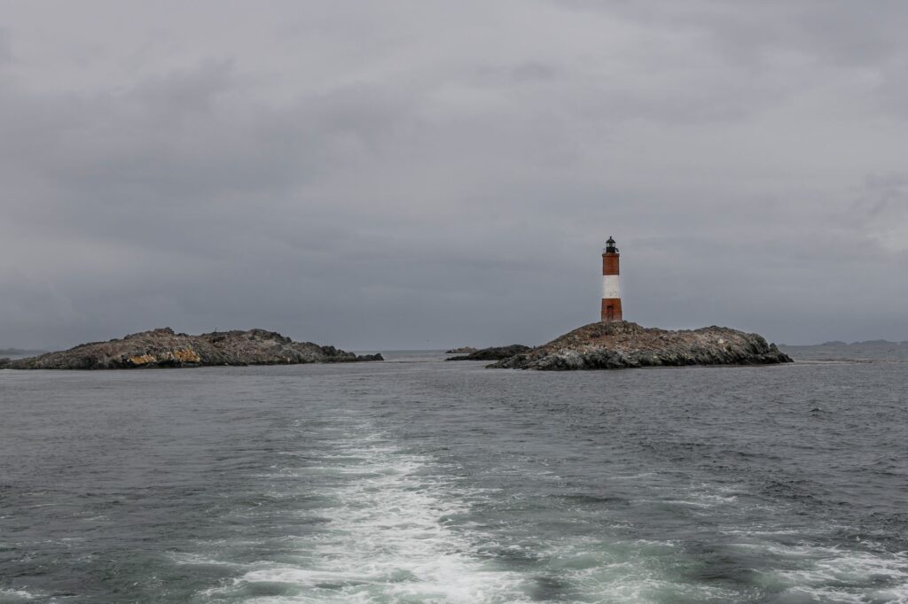
The geography of southern channels shows no mercy to improvisation; every maritime route is a daily pact with the tide and the wind.
Despite engineering projects planned for the future, the daily operation of ferries remains Chiloé’s true umbilical cord. Local captains and crews operate with deep empirical knowledge of the waters, navigating through dense fogbanks and southern storms that would test any seasoned mariner. This invisible effort ensures that the supply of fuel, food, and medical services never halts.
The Secondary Network: Rural Roads and Interior Connectivity
Once across the Chacao channel, the transport network branches out through a dense mesh of land routes connecting major communes such as Ancud, Castro, and Quellón, alongside dozens of rural and coastal settlements. Route 5 South, in its insular section, functions as the backbone of this network, although its maintenance faces titanic challenges due to soil instability, frequent rainfall, and the constant passage of heavy trucks linked to the salmon industry.
Outside secondary paved axes, gravel and dirt roads demand four-wheel-drive vehicles and exceptionally cautious driving. During winter months, persistent rains transform entire stretches into muddy bogs, temporarily isolating remote hamlets and forcing rural bus services to constantly adjust their itineraries. Digital connectivity and real-time information regarding road conditions remain pending issues in several areas of the insular interior.

The Irreplaceable Role of Minor Ferries to Adjacent Islands
Beyond the main island, the archipelago comprises dozens of smaller islands such as Quinchao, Lemuy, Caguach, and the Chauques Islands, whose sole connection to the administrative center is maritime passenger and minor cargo transport. These vessels, known locally as connectivity boats, operate under state subsidies that guarantee affordable rates for residents, though trip frequency is often limited and highly dependent on local weather conditions.
- Routes subsidized by the Ministry of Transport to ensure basic supply chains.
- Passenger vessels adapted for the simultaneous transport of light cargo and livestock.
- Artisanal docks requiring constant dredging and preventive maintenance.
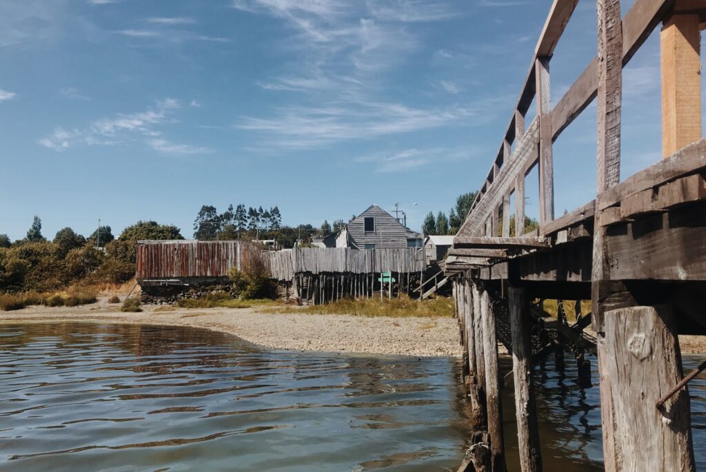
For inhabitants of these smaller islands, the ferry is not a recreational vehicle, but an indispensable lifeline to access secondary education, complex hospital care, and banking services on the main island. Any interruption in this service immediately disrupts community dynamics, underscoring the fragility of the insular transport network in the face of technical mishaps or severe storms.
The Impact of Tourism and Industry on Road Infrastructure
Over the past two decades, Chiloé has transitioned from a well-kept secret to one of Chile’s most coveted tourist destinations. This massive influx of visitors during the summer season exerts extraordinary pressure on road and port infrastructure originally designed for a stable population with lower mobility. Congestion at urban access points and the saturation of parking lots at heritage sites are clear symptoms of a transport model pushed to its operational limit.
Simultaneously, the mussel and salmon farming industries generate constant heavy traffic that directly competes with tourism and local transit. Tankers and refrigerated cargo trucks travel daily along routes never designed to support such dynamic loads, accelerating pavement wear and generating tensions between permanent residents, transport guilds, and local authorities responsible for territorial planning.
The balance between preserving natural heritage and the rush of industrial development defines the future of Chilote mobility.
Faced with this scenario, traffic management strategies and the promotion of intermodal public transport emerge as essential tools to mitigate environmental impact and improve quality of life across the archipelago. However, implementing these measures requires complex agreements among insular municipalities, the central government, and private corporations operating in the region.

Practical guide
Planning a trip or transit across the Chiloé archipelago requires understanding the logistical particularities of its intermodal transport system. Below are fundamental guidelines for moving effectively and safely through the insular territory.
How to Get to the Main Island of Chiloé
The primary access route for vehicles and buses is via Route 5 South to the town of Pargua, located about 50 kilometers southwest of Puerto Montt. From there, boarding one of the ferries crossing the Chacao channel is mandatory. Advance reservations for private vehicles are generally unnecessary with most shipping lines, though during the summer months (January and February) traveling with extra time is strongly advised due to high tourist demand.
Maritime Transport to Smaller Islands
To visit islands such as Quinchao (connected via frequent ferry service from Dalcahue) or Lemuy (from Huicha), checking updated timetables at local tourism offices or minor port terminals is recommended. Schedules vary according to tides and weather conditions, and on many routes, fare payment is made in cash directly on board.

Vehicle Rental and Local Driving
Rent a car in Puerto Montt or Ancud as the most flexible option to tour the archipelago. Driving cautiously on secondary gravel roads is essential, respecting speed limits and watching out for loose livestock and cyclists. Renting an SUV or a vehicle with high ground clearance is advised, particularly when exploring rural areas far from Route 5.
Connectivity and Digital Services
Mobile phone and internet signals are stable in major cities like Castro, Ancud, and Quellón, but tend to vanish or weaken considerably in rural zones, isolated coastal areas, and during ferry crossings. Downloading offline maps and carrying cash is strongly recommended, as ATMs may be scarce on smaller islands and many small shops and transport operators do not accept credit cards.
The Human Pulse Behind the Ferries’ Wake
As evening falls, when fog begins to enshroud temperate rainforests and ferry lights flicker in the darkness of the Chacao channel, the true dimension of this territory becomes palpable. Mobility in Chiloé is measured not only in kilometers traveled or minutes spent crossing, but in the patience of its people, the skill of its crews, and the unwavering willpower to keep communities connected across sea and wind.
Every journey across these channels holds a story of rootedness and survival. Far from global superhighways, the archipelago demonstrates that transport is, above all, a human bond. In the sway of its vessels and the respectful silence of its southern routes, Chiloé continues writing its own chronicle of insular resistance, reminding us that the shortest distance between two points is frequently the one traveled with respect for nature.