
Crossing the heart of Norway is not a simple exercise in travel, but an act of resilience against geography. When the first train completed the journey between Oslo and Bergen in 1909, it didn’t just open a transport route; it sealed the union of two worlds that, until then, lived back-to-back, separated by a wall of granite and eternal ice. The Bergensbanen, or Bergen Line, remains today the highest railway artery in Northern Europe, a technical marvel that lifts the traveler to 1,222 meters above sea level in an environment where nature dictates the rules and man only asks permission to pass.
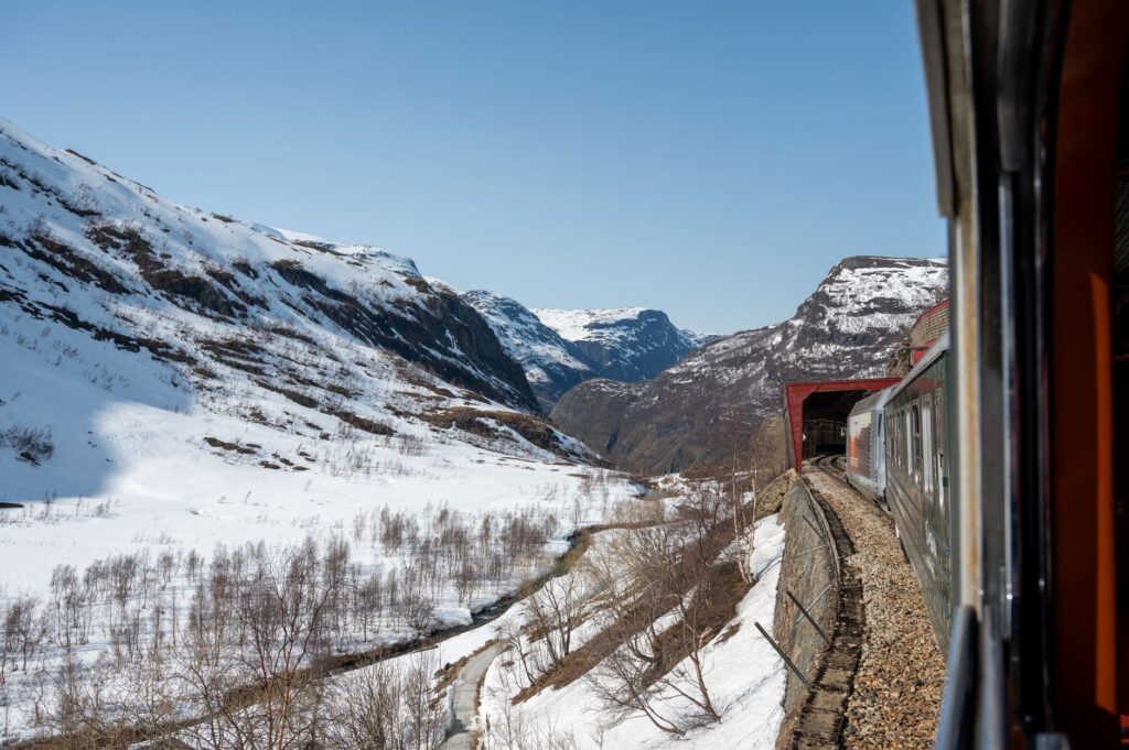
The journey begins in the functional sobriety of Oslo Central Station, but the true character of the route reveals itself as the forested valleys of Hallingdal are left behind. As the rails ascend, the vegetation retreats, giving way to a magnetic desolation. The air grows thinner, and the landscape strips away artifice to show the skeleton of the continent: the Hardangervidda plateau. Here, railway logistics become a daily battle against blizzards and snow accumulation that, in the harshest winters, can bury entire sections of the track within hours.
The Epic of Engineering in the Permafrost
Building a railway line through the central mountains of Norway in the late 19th century was a decision many labeled as madness. Engineers of the era faced terrain that was not only rugged but lacked access roads for transporting materials. It is estimated that over 15,000 men worked on its construction, hand-excavating 182 tunnels through solid rock. The challenge was not just the gradient, but the composition of the ground; in the highest areas, the soil remains frozen for much of the year, forcing the design of foundations capable of withstanding freeze-thaw cycles without compromising rail stability.
One of the most significant technical milestones is the Gravahalsen tunnel, which at 5.3 kilometers long was once one of the most complex drilling projects in the world. Without modern machinery, workers advanced barely a few meters a month, facing temperatures that regularly dropped below -30 degrees Celsius. This infrastructure allowed the journey, which previously required days of coastal navigation or dangerous mountain passes by horse, to be reduced to a trip of just seven hours, forever transforming Norway’s economy and national identity.
«The Bergensbanen is not just a train; it is the backbone that allowed Norway to recognize itself as a unified nation, overcoming the tyranny of its own mountains.»
Finse: The Arctic Laboratory by the Tracks
No point on the route summarizes the uniqueness of this journey better than Finse. Located at 1,222 meters above sea level, it is the highest station on the network and lacks road access. Everything that reaches Finse—food, fuel, construction materials, and people—arrives by train. This isolation has turned the place into a historic training center for polar expeditions; figures like Fridtjof Nansen and Ernest Shackleton used this environment to test their equipment before departing for the poles.
- Maximum Altitude: 1,222 meters at Finse station.
- Total Length: 496 kilometers between the two main cities.
- Critical Point: The 10.3 km Finse Tunnel protects the tracks from the worst snowstorms.
- Rolling Stock: High-power electric locomotives capable of pulling rotary snowplows.
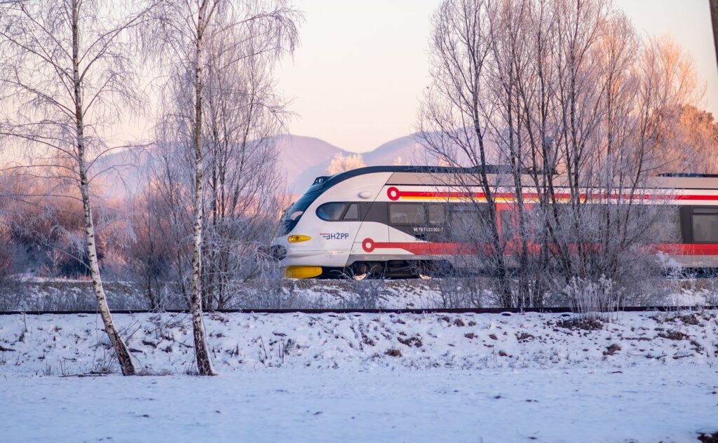
The architecture of Finse station, with its thick stone walls and reinforced roofs, is a testament to the architecture of survival. In winter months, the station is surrounded by an absolute white desert, where the only sign of civilization is the double thread of steel disappearing into the horizon. It is here that one perceives the fragility of human transport against the magnitude of the plateau, a space where logistics must be millimetric to prevent the system from collapsing under the weight of the Nordic winter.
Climate Transition: From Forest to Fjord
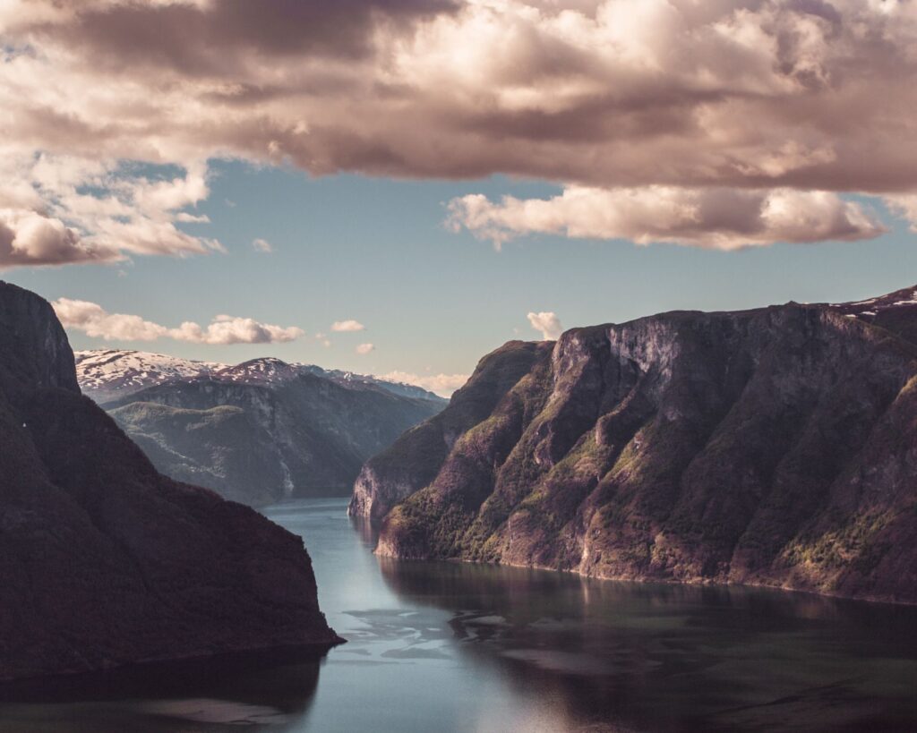
The beauty of the Bergensbanen lies in its ability to condense several ecosystems into a single day. After overcoming the aridity of the high mountains, the descent towards the west is vertiginous. The train snakes along the course of rivers that transform into thundering waterfalls. The landscape changes drastically: the white of the ice is replaced by the electric green of the valleys announcing the proximity of the Atlantic. This western slope is much more humid and mild, thanks to the influence of the Gulf Stream, creating an almost surreal sensory contrast for the traveler who has just left behind the Arctic climate of the plateau.
At Myrdal station, the main line intersects with the famous Flåmsbana, a branch line that descends towards the Aurlandsfjord with a 5.5% gradient. While the Flåmsbana captures tourist attention for its visual spectacularity, it is the Bergensbanen that ensures the viability of this link, functioning as the dry port that feeds supplies and passengers to the fjord region. The coordination between both lines is an example of logistical synchronization in an environment of high orographic complexity.
Sustainability and the Future of Nordic Transport
In a world seeking alternatives to air travel, the Bergensbanen positions itself as a model of sustainable mobility. The entire line is electrified, powered largely by Norway’s abundant hydroelectric energy. This makes the train the cleanest option for traveling between the country’s two largest cities, emitting a fraction of the CO2 generated by the short-haul flights operating the same route. The Norwegian government has invested heavily in modernizing the oldest sections, installing digital signaling systems and improving avalanche protection.
The future challenge lies in climate change. Although it may seem contradictory, global warming is increasing the instability of the slopes on the western side, causing more rockfalls and landslides. Engineers from Bane NOR, the entity responsible for the infrastructure, are now working on reinforcing embankments and building new tunnels to avoid high-risk areas, ensuring the line remains operational for the next century.
«The Norwegian train is an exercise in patience and respect; here, one does not compete against time, one travels at the pace the mountain allows.»
The Human Factor: Life on the Rails
For the inhabitants of mountain villages like Ustaoset or Geilo, the train is not an attraction; it is a basic necessity. In winter, when mountain roads (such as the legendary RV7) close due to bad weather, the Bergensbanen becomes the only link to the outside world. It is common to see locals boarding the train with cross-country skis or supplies for their isolated cabins. This social dimension humanizes an infrastructure that might otherwise seem purely technical or tourist-oriented.
The staff operating these trains possess specific training for extreme conditions. Drivers must be prepared to deal with zero visibility and the presence of wildlife, such as reindeer, which often seek refuge on the snow-cleared tracks. There is a culture of railway pride in Norway, a realization that keeping this pass open is an essential public service that defines the country’s sovereignty over its most inhospitable territory.
Practical Guide
To successfully travel the Bergen Line, it is essential to understand that planning depends directly on the season. During winter (November to April), technical clothing is a must even if you don’t plan to get off the train, as stops at high-altitude stations demand immediate thermal protection. Reservations should be made in advance through the operator Vy, especially if you want a seat on the left side (heading to Bergen) for the best views of the Hardangervidda.
The full journey takes between 6 and 7 hours. A technical stop in Finse is recommended to visit the Railway Workers’ Museum (Rallarmuseet), which explains the history of the line’s construction. Regarding luggage logistics, the trains are equipped with large areas for suitcases and sports equipment, but remember that at small stations, the stopping time is brief. Wi-Fi connectivity is stable for most of the journey, though there may be micro-cuts in the deeper tunnels of the central section.
Finally, for those seeking the ultimate photographic experience, the section between Geilo and Myrdal offers the most dramatic compositions. The sunset light in winter, known as the Nordic «blue hour,» transforms the snow into a mirror of cobalt and violet tones, creating an atmosphere that no other railway route in Europe can replicate. It is the moment when engineering and poetry meet at the same point on the map.