
The horizon of the Outer Hebrides is defined by an unbroken line where the leaden gray of the Scottish sky merges its weight with the white crests of the Atlantic Ocean. In this geographical outpost situated at Europe’s western edge, mobility is not merely a technical exercise in displacement, but a choreography of daily endurance. Sustaining life, commerce, and passenger transit across an archipelago battered by gale-force winds and unforgiving tides requires an intermodal infrastructure of surgical precision. Every maritime crossing and regional flight depends on the truce that the elements choose to grant, turning the journey into a lesson in patience and respect for nature.
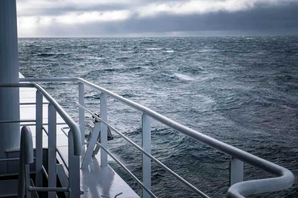
The backbone of this transport system rests on Caledonian MacBrayne, the public ferry operator commonly known as CalMac. Its fleet of large red-and-black vessels acts as a true floating bridge between the islands of Lewis, Harris, Uist, Benbecula, and Barra, and mainland ports such as Ullapool and Uig on the Isle of Skye. However, navigating the Minches—the narrow channels separating the archipelago from the Highlands—means facing weather conditions that frequently paralyze departures for days on end, disrupting the supply chain for fresh food and postal service.
The Anatomy of Exposed Piers: Engineering Against the Swell
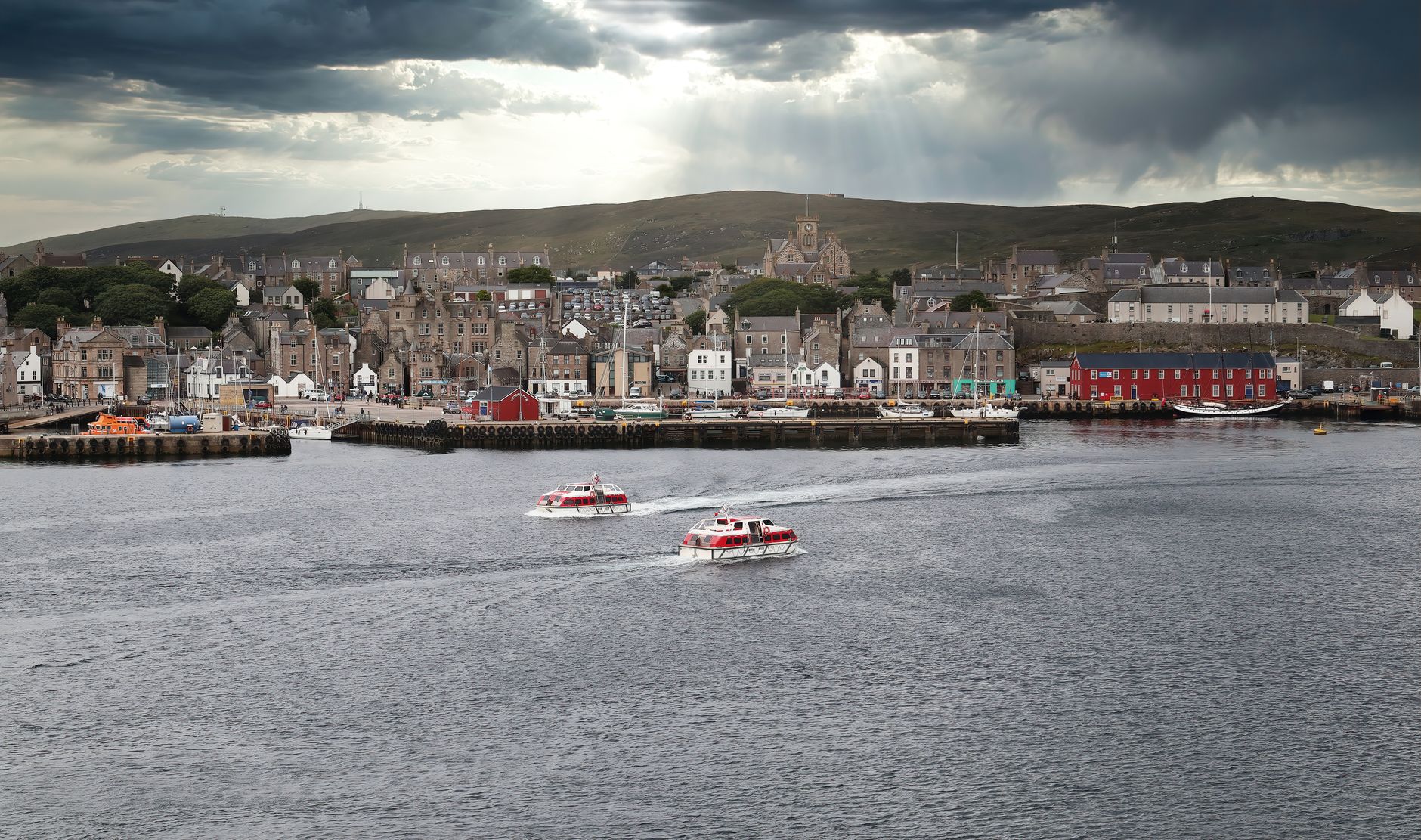
Building and maintaining port infrastructure in the Outer Hebrides represents a titanic challenge for British civil engineering. Harbors such as Tarbert in Harris or Lochmaddy in North Uist require monumental breakwaters capable of withstanding the pounding of colossal waves driven by Atlantic depressions without breaking down. Unlike the sheltered ports of the mainland, these docks operate under an extreme tidal regime that requires the installation of heavy-duty mobile hydraulic ramps, designed to adjust with millimeter precision to the freeboard of the ferries.
The modernization of the fleet has been marked by budgetary controversies and delays in local shipyards, highlighting the structural fragility of relying on aging vessels. When a main ferry enters dry dock for mandatory maintenance, the alternative often involves smaller-capacity craft or the total cancellation of key commercial routes. This operational vulnerability demonstrates that island connectivity is not just a matter of ships and concrete, but a delicate economic and social balance that directly affects the permanent inhabitants of Gaelic communities.
The stability of an island is measured not by the speed of its connections, but by its capacity to withstand isolation when the sea decides to close its doors.
In addition to the main fleet, smaller ferries connecting the smaller islands of the archipelago among themselves operate as indispensable community shuttles. Vessels such as those crossing the Sound of Harris between Leverburgh and Otternish must navigate a submarine labyrinth of Lewisian gneiss reefs and treacherous currents that shift direction with every tidal cycle. The captains of these ships rely equally on advanced nautical cartography and decades of accumulated knowledge regarding local wind behavior and hidden shallows.
The Aerial Leap on the Sand: The Uniqueness of Barra and Its Tidal Runways
While maritime transport absorbs the bulk of heavy cargo and road traffic, regional aviation offers a speed alternative with an aesthetic and technical component unique in the world. Barra Airport, located in the bay of Traigh Mhhor at the northern tip of the eponymous island, completely lacks asphalt. Its three runways are traced directly onto a vast expanse of fine calcareous sand, a geological phenomenon locally known as machair that only emerges when the tide recedes entirely.

Operating commercial Loganair turboprop flights with Twin Otter aircraft on a beach requires an inflexible operating protocol regulated by tide tables. No plane can land or take off during high tide, as the runway is completely submerged beneath Atlantic waters. Flight schedules, therefore, float to the rhythm of the moon and oceanic currents, forcing passengers and ground staff to maintain absolute flexibility. This model of low-tide aviation constitutes a living vestige of bush aviation adapted to the 21st century in northern latitudes.
In contrast to Barra’s ephemeral nature, Benbecula Aerodrome operates as the conventional aerial connectivity hub for the center of the archipelago. Featuring a paved runway resistant to gales, Benbecula guarantees the daily arrival of postal and medical flights from Glasgow and Inverness. This air link is vital for the urgent transfer of patients requiring specialized medical care in mainland hospitals, turning light aviation into a genuine lifeline of public health for island families.
The Road Network and the Transition Toward Sustainable Mobility
Once on solid ground, mobility in the Outer Hebrides is articulated through a network of single-track roads known as passing places. These winding routes cross landscapes of endless peatlands, ancient Lewisian hills, and white sand beaches that rival those of the Caribbean in beauty, if not in temperature. Driving in this environment demands courtesy at the wheel and absolute mastery of the designated shoulders to allow safe passing between local vehicles and visitors’ motorhomes.
In recent years, local authorities have promoted a terrestrial transport decarbonization plan focused on the gradual introduction of electric buses and rapid charging points powered by local wind energy. However, low winter temperatures and saline wear from sea spray drastically reduce battery autonomy, forcing a rethink of electrical infrastructure against the climatic demands of high-latitude island living.

Interior connections also benefit from a series of elevated causeways and emblematic bridges built late last century, such as those linking South Uist, Eriskay, and Benbecula. These monumental works transformed daily life by eliminating absolute dependence on small rowboats or human-powered ferries, allowing the smooth transit of livestock, goods, and emergency services in a matter of minutes.
Gaelic Culture and the Social Pulse of Travel
Traveling through the Outer Hebrides is also immersing oneself in one of Britain’s most unique linguistic and cultural reserves: Scottish Gaelic. Aboard the ferries and in dock waiting rooms, bilingual signs and everyday conversations reflect an identity deeply rooted in land and sea. The unhurried pace of island transport fosters a type of socialization where time is measured in human encounters, delayed conversations, and the exchange of local news regarding fishing and the weather.
Local transport cooperatives and small tour operators have successfully integrated cultural sustainability into their routes, promoting low-impact hiking along historic trails such as the Hebridean Way. This route of over two hundred and fifty kilometers crosses the archipelago combining walking, cycling, and public transport segments, proving that it is possible to explore remote territories without disrupting the delicate ecological balance of fragile dune ecosystems.

The true luxury in northern routes is not speed, but the capacity to tune into the unhurried rhythm of a world that refuses to accelerate.
The impact of mass tourism has been largely contained by the transport system’s own logistical limitations. The scarcity of ferry spaces during the summer months acts as a natural filter preserving landscape authenticity, preventing visitor saturation and allowing the local economy to maintain its traditional character based on sheep farming, artisanal fishing, and weaving the celebrated Harris Tweed cloth.
Practical guide
How to get there: The main maritime route departs from Ullapool to Stornoway (Lewis) taking approximately two and a half hours. Another key route connects Uig (Skye) with Tarbert (Harris) and Lochmaddy (North Uist). Ferry tickets must be booked months in advance due to high summer demand and limited vessel capacity.
When to travel: The months of May to June offer the best weather conditions, with longer daylight hours and lower incidence of Atlantic storms. Winter (November to February) exposes the traveler to frequent wind cancellations, but guarantees an experience of total isolation and dramatic landscapes.

Mobility requirements: If traveling by rental car, ensure the company permits boarding Caledonian MacBrayne ferries. It is mandatory to understand the use of passing places on single-track roads and respect the right-of-way of local residents.
Safety tips: Keep a weather-tracking and fleet-status application (such as CalMac Service Status) active on your mobile device. Always allow a margin of at least two days in your return itinerary to absorb potential port lockouts caused by sudden gales.
Dusk over the waters of the North Atlantic tinges the profiles of the islands with a golden and melancholic light, a visual reminder that every completed journey is a small victory against the vastness of the ocean. In the Outer Hebrides, the end of the trip is never a full stop, but the silent pause before the wind blows fiercely again and the tide dictates once more the destiny of the invisible paths uniting land with the world.