

Introduction to the Southern Andean Colossus
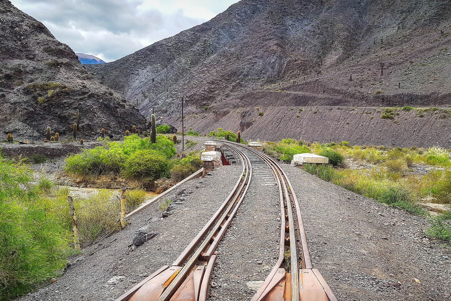
Peruvian territory has historically been conditioned by an unforgiving orography. The Andes Mountain Range, with its basaltic rock walls and snow-capped peaks soaring over four thousand meters above sea level, presented an almost insurmountable barrier to overland transport for centuries. Within this complex geographical context, the construction of the Southern Railway of Peru emerged not merely as a masterwork of nineteenth-century engineering, but as the vital artery that stitched together the abysses between the desert coast and the mystical Andean altiplano.
Understanding the scale of this rail corridor requires looking beyond its purely touristic appeal. The line operates today as a living testament to high-mountain logistical planning, where overcoming impossible gradients demanded pioneering technical solutions. From historical maintenance workshops to modern locomotives traversing high plateaus, this exploration examines how the rail line articulates economy, culture, and mobility in one of the planet’s most challenging regions.
Genesis and Alignment: Defying Gravity
The history of this railway dates back to the second half of the nineteenth century, a period when the Peruvian state boldly committed to territorial integration through steam and steel. Polish engineer Ernesto Malinowski and American entrepreneur Henry Meiggs were the guiding minds behind this monumental enterprise. Confronted with brutal elevation gains, the builders had to design an alignment that departed from the port of Mollendo, crossed coastal sandy deserts, ascended toward the White City of Arequipa, and continued its relentless climb to reach Crucero Alto pass, the culmination point of the route.
The selection of standard gauge and the implementation of continuous gradients required millimeter-accurate calculations. Every kilometer conquered from the mountain represented a triumph over physics. Iron bridges, imported from Europe and the United States, were assembled amid deep gorges where weather conditions tested human and material resilience. The track does not follow a straight line; instead, it meanders through impressive horseshoe curves and zigzags that allow formations to gain elevation in a controlled manner, a technical display that continues to fascinate railway infrastructure experts.
Arequipa: The Threshold of Volcanic Stone and Basalt
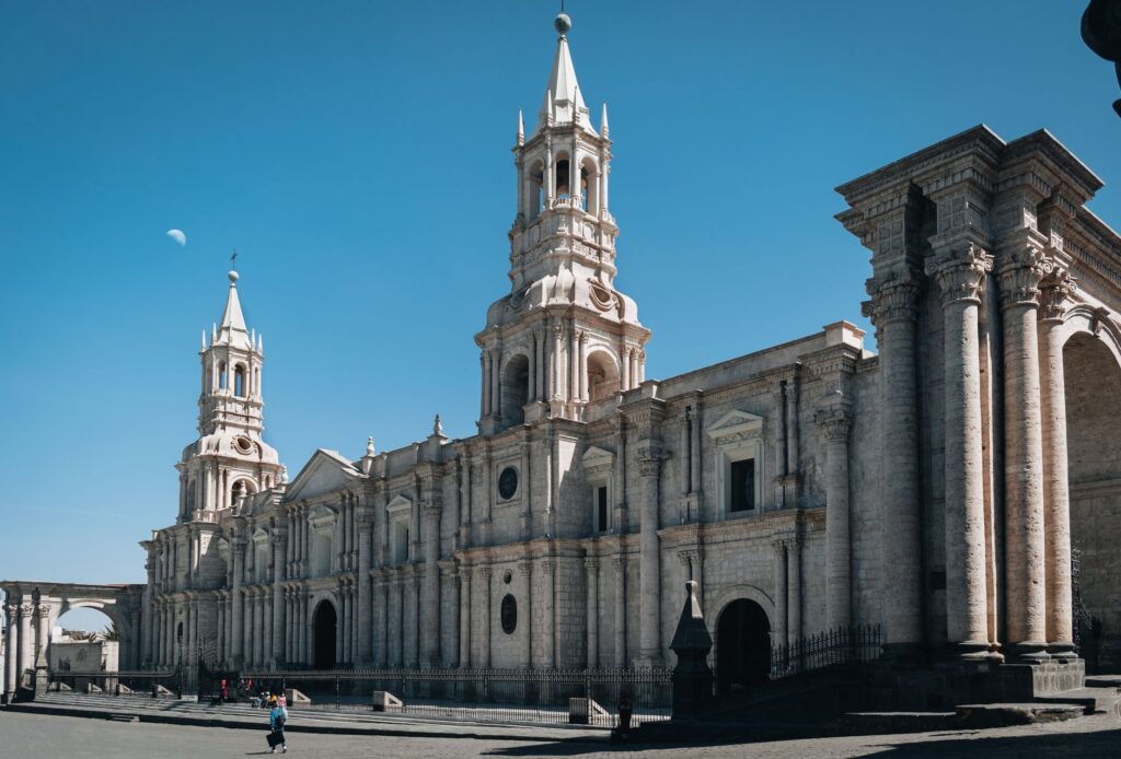
The journey toward the altiplano formally begins in Arequipa, the metropolis constructed almost entirely from sillar, a white volcanic stone quarried from the slopes of surrounding colossi like El Misti and Chachani. The railway station, located in the heart of the city, functions as a historical node where nineteenth-century British industrial architecture blends with viceregal tradition. Here, trains prepare for a journey that will test both the mechanics and the physiology of passengers and crew alike.
In this initial stretch, the convoys wind through fertile valleys that quickly give way to the arid Pampa de Cañahuas. Vegetation sharply declines, replaced by ichu grass and volcanic rocks eroded by Patagonian winds sweeping down from the cordillera. It is in this section that the engineering of the track becomes clearly evident: embankments supported by dry-stone retaining walls that have withstood earthquakes and avalanches for over a century of continuous operations.
The National Reserve and the Realm of South American Camelids
As the train gains altitude, plunging into the Salinas and Aguada Blanca National Reserve, the landscape transforms into a desolate yet breathtaking expanse. At over three, five hundred meters of elevation, the high-andean plains become the natural habitat of vicuñas, alpacas, and llamas. The rail line runs parallel to high-altitude bofedales and wetlands that act as natural hydrological sponges in an environment dominated by seasonal precipitation scarcity.
The coexistence between transport infrastructure and wildlife has required continuous monitoring. Machinists must operate with millimeter precision due to the occasional presence of herds crossing the tracks. This section stands out not only for its ecological value but for its practical demonstration of how heavy engineering infrastructure can coexist with fragile ecosystems when appropriate maintenance and environmental management protocols are implemented, preventing severe fragmentation of natural habitats.
Conquering the Summit: Crucero Alto
The point of maximum technical and physiological tension along the route is reached at Crucero Alto, situated at the imposing altitude of 4,477 meters above sea level. At this geographical milestone, machine and man experience the limits of Earth’s atmosphere. Barometric pressure drops markedly, and the internal combustion systems of locomotives require complex technical adjustments to operate with lower oxygen density, ensuring the train maintains necessary traction on the steepest ramps.
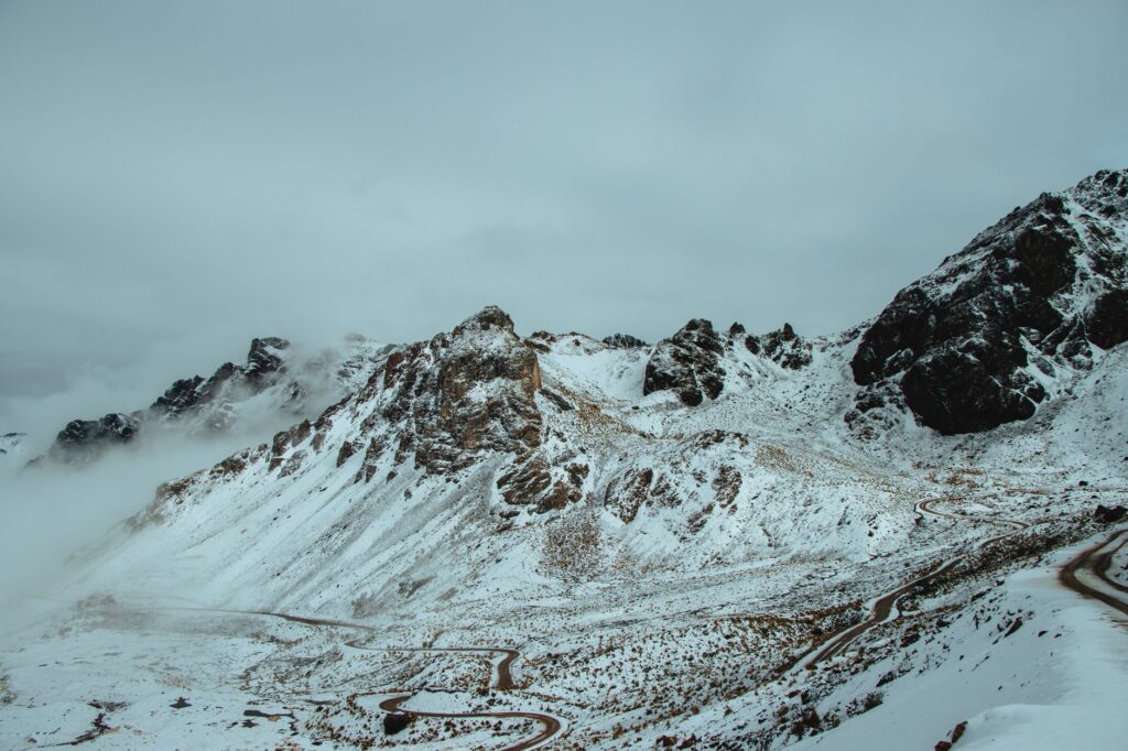
The Crucero Alto station serves as a solitary reminder of the altiplano’s harsh climate. Here, track maintenance crews operate, tasked with clearing the rails during sporadic yet intense southern snowstorms. The solidity of the infrastructure at this point is vital; any structural failure at this altitude would compromise the only heavy overland communication route directly connecting the interior of the southern Andes with the national logistics network.
Descent Toward Titicaca: The Endorheic Basin
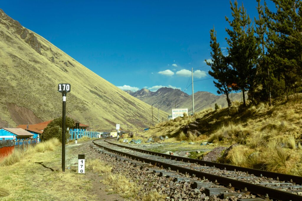
Having conquered the summit, the train initiates a smooth yet steady descent toward the Collao plateau, a vast endorheic basin dominated by the colossal presence of Lake Titicaca. The landscape changes radically: volcanic rocks give way to golden prairies where high-altitude agriculture and communal grazing have sustained local populations for millennia. The railway line acts here as a social backbone, connecting isolated rural communities with provincial urban centers.
The approach to Puno is marked by the presence of small adobe hamlets with corrugated iron roofs stretching toward the horizon. The arrival at the lakeside station symbolizes the culmination of a journey where railway engineering successfully united two geographically distant worlds. This final stretch highlights the historical economic importance of the railway in transporting minerals extracted from high-andean deposits to Pacific coast ports.
The Human Dimension and the Pulse of Communities
Beyond steel and wooden ties, the profound value of this rail corridor lies in its human fabric. Communities inhabiting areas along the track have established a symbiotic relationship with the passing train. For many residents of remote areas, the railway represents the safest and most economical means to transport agricultural and artisanal products to regional markets in Arequipa and Juliaca.
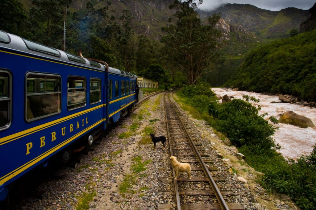
Intermediate stations, though many have lost their former commercial bustle, preserve the collective memory of generations who saw in the locomotive’s whistle the sole nexus with the outside world. Testimonies from veteran railway workers, who have dedicated decades to keeping the track operational under extreme weather conditions, reveal a deep sense of belonging and professional pride that transcends the simple execution of technical labor.
«The train in the Andes is not merely a mode of transport; it is the metallic pulse keeping communities alive across the abysses of high altitude.»
Practical guide
How to get there: The primary departure point for the rail journey is the city of Arequipa, connected via regular flights from Lima’s Jorge Chávez International Airport. Train services to Puno operate regularly under the management of specialized operators focusing on tourism and high-end transport.
When to travel: The dry season, spanning from May to November, offers the best meteorological conditions, featuring clear skies and lower probability of disruptions due to rains or snowfalls in the high cordillera. Between December and April, seasonal precipitation demands caution in itinerary planning.

Acclimatization and health: Because the route exceeds 4,000 meters of altitude at its peak (Crucero Alto), it is strictly necessary to spend at least two days in Arequipa (2,325 m a. s. l.) to achieve adequate acclimatization before boarding the train. Constant hydration is recommended, alongside consulting medical staff regarding altitude sickness prophylaxis.
Logistics and bookings: Tickets for tourist services must be booked several months in advance due to high international demand. It is essential to verify updated schedules directly with authorized operating companies certified by Peru’s Ministry of Transport and Communications.
Epilogue on the Sacred Shore
As the final glint of the setting sun reflects upon the motionless waters of Lake Titicaca, the rail journey finds its ultimate repose. In the dim light of the Andean evening, the silhouette of the locomotive rests alongside century-old docks, mute witnesses to an engineering feat that defied the limits of the possible. There is no stridency in this ending; only the whisper of the wind over the totora reeds and the certainty that, through human effort and the solidity of steel, the abyss between coast and summit has been enduringly overcome.


