
Introduction to the Wild Heart of Scotland
The Scottish Highlands conceal a geological and climatic secret that defies the latitude in which it lies. The Cairngorms National Park is not merely a succession of rounded mountains smoothed by millennia of erosion, but a unique arctic-alpine ecosystem within the British Isles. Here, the elevated plateau experiences meteorological conditions more typical of Norway or the Arctic Circle, turning this territory into a natural laboratory for understanding the resilience of life in the face of adversity.
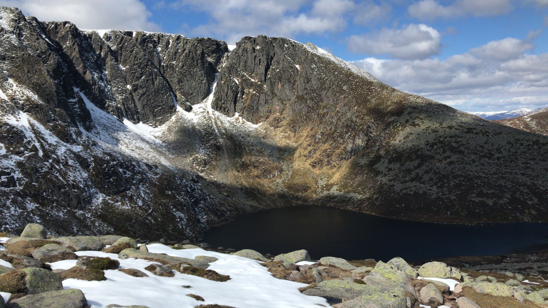
Traversing the schist and granite crests of the Cairngorms requires understanding the intimate relationship between the geological substrate and biological fragility. Unlike other European ranges where sharp peaks dominate the landscape, this Scottish corner is characterized by flat, wind-scoured upper plateaus where the soil constantly freezes and thaws, sculpting geometric patterns in the rock that fascinate geologists worldwide.
Geological Origins and Periglacial Modeling
The history of the Cairngorms began over four hundred million years ago during the Caledonian Orogeny, a tectonic cataclysm that collided ancient continents and gave rise to massive intrusions of pink granite. This magma cooled slowly deep within the Earth’s crust, creating the plutonic massifs that form the core of the mountain range today. Over successive eras, erosion stripped away the upper sedimentary layers, leaving this igneous rock exposed.
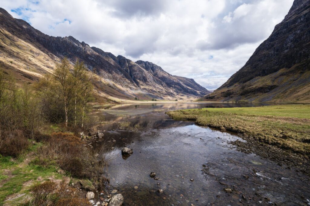
However, the current appearance of the landscape is profoundly shaped by Quaternary glaciations. During periods of maximum ice advance, enormous tongues of ice carved U-shaped valleys, such as the dramatic Lairig Ghru pass, and left scattered morainic deposits. On the upper plateaus, where ice was static or thin, periglacial weathering predominated. This cryofracturing process fragments the bedrock into boulder fields locally known as clachans, creating an arid, lunar terrain.
The British Tundra: Adaptation on the Roof of Scotland
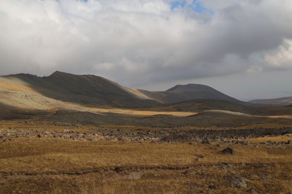
Above six hundred meters of altitude, the climate of the Cairngorms becomes inhospitable to most temperate flora. Here survives the only true tundra in the United Kingdom. Miniature plants such as dwarf azalea, alpine willow, and various species of mosses and lichens have developed extreme survival strategies. Their prostrate structures minimize the impact of hurricane-force winds that lash the plateau during the winter months.
This austere habitat is also the historical refuge of the capercaillie and the Eurasian dotterel, birds that find in these windswept slopes their only breeding stronghold in British territory. The survival of these species depends on the stability of a snow-pack layer that becomes increasingly unpredictable each year due to global warming. Conserving the alpine tundra not only protects local biodiversity but also preserves the carbon sinks accumulated deep within peat layers.
«The high Scottish summits do not measure their value in meters above sea level, but in the capacity of their fragile tundra to retain the planet’s climatic memory.»

Caledonian Woodlands: The Surviving Wild Past
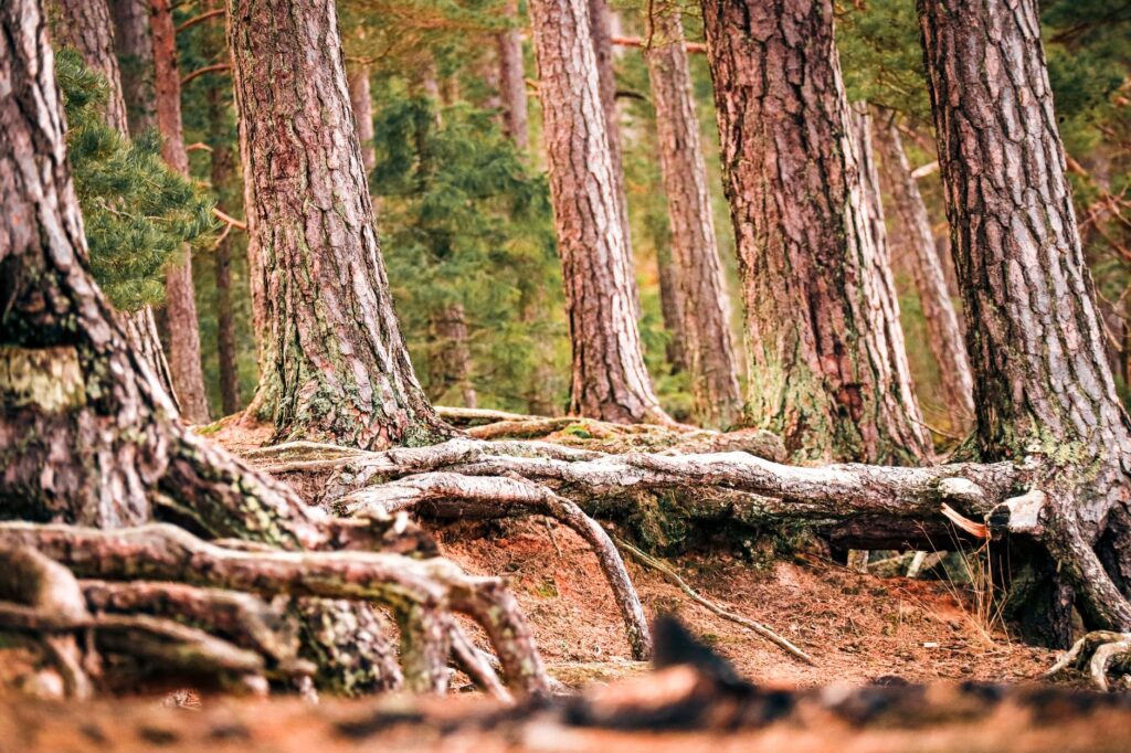
Descending from the wind-swept summits, the landscape yields to the remnants of the ancient Caledonian Forest. These native Scots pine woods represent what was once a vast woodland cover stretching across all of Scotland following the retreat of the glaciers. Gnarled, centuries-old trees, shaped by historical fires and the browsing of deer, create a complex understory inhabited by the Scottish wildcat and the red squirrel.
The restoration of these forests is one of western Europe’s most ambitious conservation projects. Public and private initiatives work on removing artificial barriers and controlling red deer populations, allowing native Scots pine and birch to regenerate naturally. This effort aims to recreate ecological corridors connecting river valleys with the high plateaus.
Hydrological Dynamics and the High Water Cycle
Water is the guiding thread shaping the ecology of the Cairngorms. The Rivers Dee, Spey, and Avon originate in perennial snows and high mountain springs, flowing with crystal-clear, cold waters that sustain vital populations of Atlantic salmon. Spring snowmelt triggers seasonal spates that scour riverbeds and transport essential nutrients to downstream valleys.
Mountain blanket bogs act as gigantic sponges, regulating the flow of these rivers and retaining massive volumes of rainwater and snowmelt. However, historical drainage carried out in some areas to favor livestock farming and game management has altered these natural cycles. Today, hydrological restoration focuses on blocking ditches and recovering original water tables to mitigate flood risks downstream.

High-Level Trails: The Cairngorms High Route Experience
For technical hiking enthusiasts, the Cairngorms High Route offers an unforgettable traverse across some of Europe’s most remote terrain. Historic trails such as the Lairig Ghru cross the massif from north to south, following deep tectonic faults flanked by vertical granite walls. These routes lack heavy tourist infrastructure; there are no staffed mountain huts or summit cable cars, which preserves the wild character of the experience.
Planning a traverse here demands absolute respect for local meteorology. Weather changes are proverbial: a sunny spring day can transform within minutes into an arctic blizzard with zero visibility. Walkers must carry complete navigation equipment, high-performance waterproof clothing, and advanced orienteering skills for open, unmarked terrain.
«Walking through the glens of the Cairngorms means accepting the sovereignty of nature, where self-sufficiency is not an option, but the sole guarantee of safety.»
Human Pressures and the Ecotourism Dilemma
The exponential increase in visitors over the past decade has tested the carrying capacity of the Cairngorms National Park. While nature tourism is an indispensable economic driver for rural communities like Aviemore and Braemar, overcrowding at key hotspots erodes fragile trails and disturbs wildlife during critical nesting periods.
Park authorities implement strategies based on environmental education and strict zoning. Awareness campaigns remind visitors of the importance of leaving no trace, camping responsibly, and keeping dogs on leashes during ground-nesting bird seasons. Balancing the public right of access to the natural environment with the strict protection of sensitive habitats remains an ongoing and complex debate.
Practical guide
How to get there: Inverness International Airport is located about fifty kilometers north of the park, offering regular connections with major British cities. From there, the rail and bus network connects directly to key towns such as Aviemore and Kingussie.
Best time to visit: The months of May and June offer the most stable weather conditions and fewer midges in the glens. September and October stand out for the autumnal colors of the birch woodlands and lower trail congestion.
Essential equipment: Waterproof trekking boots, telescopic poles, a compass, a physical topographic map, and a satellite communication device or emergency beacon are essential, as mobile phone coverage is non-existent across most glens and plateaus.
Camping regulations: Access to the countryside is regulated by the Scottish Outdoor Access Code. Lightweight, low-impact wild camping is permitted in most open areas, though temporarily restricted in fragile zones during spring to protect bird nesting grounds.
Silence on the Plateau: The Eternal Legacy of Stone
When the sun dips behind the rounded silhouettes of the monadnock hills and shadows stretch across the granite boulder fields, the Cairngorms recover their ancestral silence. This landscape, sculpted by incomprehensible tectonic forces and sustained by a delicate climatic balance, reminds us of the earth’s persistence against the ephemeral passage of civilizations. It is not a destination for those seeking urban comfort, but for those willing to listen to the murmur of the wind across the tundra and understand that the true beauty of the mountain lies in its indomitable and fragile solitude.