
Introduction to the Southern Edge and Its Invisible Network
At the southwestern tip of New Zealand’s South Island, where the Southern Alps plunge abruptly into the cold waters of the Tasman Sea, lies one of the most isolated, stunning, and geologically complex regions on the planet: Fiordland. This vast territory, sculpted over millennia by the advance and retreat of massive glaciers, does not conform to the conventional dynamics of terrestrial mobility. The vertical topography, characterized by granite walls rising over a thousand meters above sea level and a rainfall regime exceeding seven meters annually, turns every journey into an exercise in logistical precision and respect for the elements.
While most of the modern world relies on dense networks of highways and high-speed trains, Fiordland operates under an entirely different paradigm. Here, connectivity depends on a fragile and perfectly synchronized lattice of navigation through deep fiords, mountain air transport via short-takeoff aircraft and helicopters, and a single road access route that challenges the limits of civil engineering: State Highway 94 toward Milford Sound. This report examines with rigor how transport lines operate, what challenges local operators face, and what specialized travelers must consider to venture into this oceanic labyrinth without compromising their safety or the delicate ecological balance of the environment.
The Single Artery of State Highway 94 and Its Geotechnical Challenges
The backbone of terrestrial access to Fiordland is State Highway 94, commonly known as Milford Road. This 120-kilometer route connects the alpine town of Te Anau with the legendary Milford Sound (Piopiotahi). Constructed over decades of monumental engineering efforts in the mid-20th century, the road snakes through the Eglinton Valley, cuts through temperate rainforests, and climbs to the eastern portal of the Homer Tunnel.
The Homer Tunnel represents one of the most unique milestones in Oceania’s road infrastructure. Bored directly through the granitic fault line of the Southern Alps, this 1.2-kilometer tunnel long maintained a one-way traffic schedule regulated by traffic lights due to its narrow width and the lack of interior lining in much of its original bore. Today, although modernized with ventilation systems and automated traffic management, it remains a critical bottleneck. Winter snow avalanches and rockfalls induced by heavy summer rains force the New Zealand transport department to implement daily preventive closures.
For tour bus operators, freight carriers, and private travelers, time management on Milford Road requires military discipline. There are no alternative routes; if a slope gives way or a storm blocks the Hollyford pass, the isolation of Milford Sound is absolute by land, leaving human settlements and floating tourism centers entirely dependent on maritime and emergency air supply.
Interior Navigation: Tour Ferries and Fiord Maritime Traffic
Once reaching the end of the road at Milford Sound or venturing into more remote arms like Doubtful Sound (Patea) and Dusky Sound, the predominant mode of transport shifts to watercraft. Unlike other coastal enclaves around the world, commercial navigation here does not compete with massive industrial traffic; instead, it is strictly divided between daytime cruise vessels, overnight ships, and technical service catamarans supplying remote scientific observation and conservation facilities.

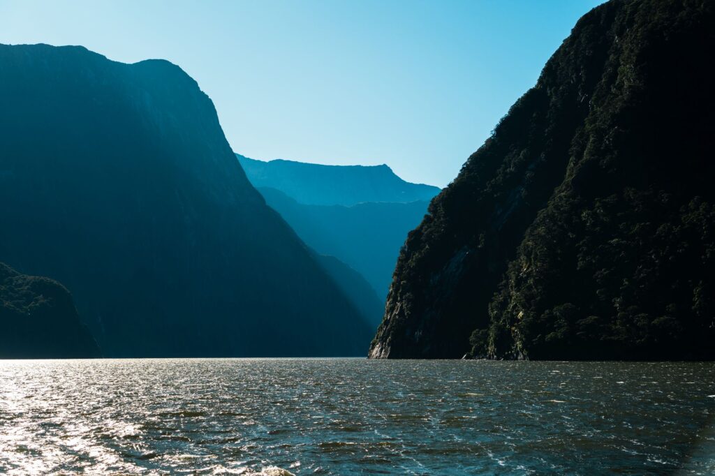
The fiords act as freshwater estuaries protected from direct Tasman Sea swells thanks to their narrow mouths, but they generate highly aggressive local wind dynamics within their boundaries. Catabatic winds, which descend violently from snowy peaks onto dark water surfaces, demand captains with extensive experience in reading tidal currents and sudden turbulence. Ferry fleets operate under extremely strict environmental regulations designed to protect delicate black corals growing just meters below the surface, nourished by the peculiar dark freshwater layer generated by rivers and dense surrounding forests.
The transfer of passengers to Doubtful Sound, for instance, requires a complex intermodal operation. Since no road connects this fiord directly to the main network, travelers must first cross Lake Manapouri by boat, board a bus traversing Wilmot Pass—an isolated industrial service road unconnected to the national network—and finally embark on another catamaran at Deep Cove. This type of multiple transfer demonstrates how geography imposes a slow, deliberate rhythm of travel.
The true measure of distance in Fiordland is not calculated in kilometers mapped out on paper, but in the patience required to synchronize travel with the whims of weather and the unyielding geography of rock.
Mountain Aviation and Seaplanes as Insular Lifelines
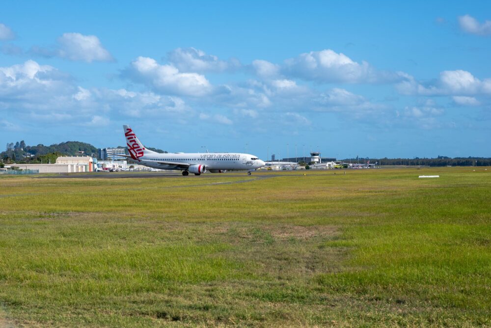
When storms block State Highway 94 or maritime conditions prevent ferries from leaving the fiord mouths, light aviation becomes the only reliable communication bridge. Grass and compacted gravel airstrips located in Te Anau, Milford Sound, and isolated high-mountain strips support a vital industry of seaplanes and twin-engine aircraft.

Pilots operating in this region face proverbially volatile weather conditions. Cold fronts sweeping up from the Southern Ocean collide with the mountain range, generating trapped low clouds, sudden fogs, and strong valley wind shear. Despite these operational difficulties, general aviation not only transports travelers seeking peerless aerial perspectives over the Sutherland and Stirling Falls, but also fulfills an irreplaceable logistical function for emergency medical transport, telecommunications technicians, and urgent supplies.
Similarly, helicopters equipped with cargo winches play a fundamental role in maintaining Great Walks trail infrastructure, such as the Milford Track, Kepler Track, and Routeburn Track. Because motorized vehicles are strictly prohibited within the national park interior for conservation reasons, every ton of material required to repair wooden boardwalks, suspension bridges, or mountain shelters must be transported with millimeter precision from the air.
Trail Infrastructure and Foot Mobility in the Wild Heart
Discussing transport in Fiordland would be incomplete without analyzing pedestrian mobility infrastructure, structured around long-distance trails managed by the New Zealand Department of Conservation (DOC). These paths act as highly regulated human transit corridors channeling tens of thousands of annual hikers under strict sustainability criteria.
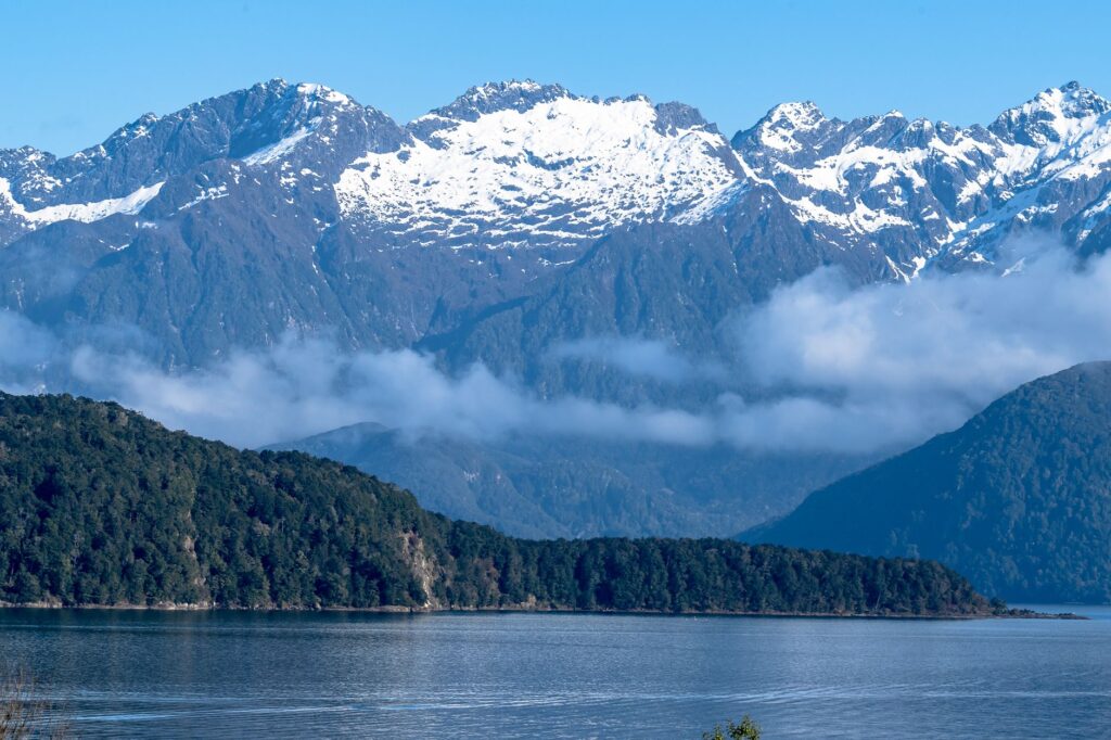
The logistical system sustaining these routes requires meticulous coordination among shuttle bus services, lake catamarans, and park rangers. For instance, the famous Milford Track—historically known as “the finest walk in the world”—requires walkers to complete a four-day linear traverse beginning with a boat trip across Lake Te Anau to Glade Wharf and concluding with another boat ride from Sandfly Point to Milford Sound. Any failure in synchronizing these water links can strand hikers in valleys where wild camping is strictly prohibited to protect the fragile alpine ecosystem.
Authorities manage this flow through strict advance booking systems limiting daily entries. This restriction prevents soil erosion, minimizes carbon footprints, and ensures traveler experiences maintain authentic contact with the deep silence of beech forests and tree ferns.
Sustainability, Traffic Management, and the Future of Connectivity
In recent years, the exponential growth of international tourism has tested Fiordland infrastructure carrying capacity. Balancing economic development derived from tourism with absolute preservation of a pristine natural environment has become the cornerstone of public policy in the Southland region.

Proposals to improve connectivity no longer contemplate expanding major highways or constructing invasive infrastructure. Instead, current strategies focus on technological innovation, digitization of transport booking systems, and the promotion of hybrid or electric naval fleets that drastically reduce pollutant emissions and acoustic pollution within fragile marine ecosystems. Local ferry operators have begun investing in battery-assisted propulsion to minimize noise impact on cetaceans and pinnipeds inhabiting deep fiord waters.
Planning a journey through this territory requires understanding that human infrastructure is always a guest subordinate to the relentless laws of geology and southern weather.
Practical guide
-
Terrestrial Route Planning: Always check updated road conditions for State Highway 94 (Milford Road) on the official NZ Transport Agency (NZTA) website before initiating any trip toward Milford Sound. Weather shifts can close access within hours.
Intermodal Connection Booking: Lake Manapouri and Lake Te Anau boat crossings, as well as fiord ferry tickets and connecting buses, must be booked months in advance during the southern peak season (November to March).
Mountain Safety Regulations: If planning hikes or accessing remote areas, register with the DOC outdoor intentions system and equip your vehicle with mandatory tire chains during winter months.
Weather Alternatives: Keep your schedule flexible. When roads close due to avalanches or flooding, scenic fixed-wing or helicopter flights are often the only viable alternative to reach interior enclaves if wind conditions permit.
The Ultimate Silence at the Edge of the Southern Alps
At dusk, when commercial catamaran activity ceases and the day’s final seaplanes tuck into Te Anau hangars, Fiordland reclaims its primordial state. On the dark shores of Milford Sound, water reflects the monumental silhouettes of peaks crowned in eternal snow, while the distant sound of a vertical waterfall shatters the immensity of silence. It is in this moment that the traveler understands the true nature of the southern journey: a fleeting privilege sustained by an invisible, complex transport network, where every transit becomes an act of respect toward one of the planet’s last truly wild sanctuaries.